Search
★ 1,496 original pieces ★
Type a place, a mapmaker or a year in the search box above.
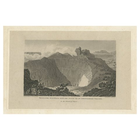
Rare Visions of a Dormant Titan: The Ancient Volcano of Owyhee or Hawaii, 1815
1815
$380
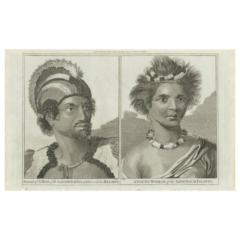
Regalia of the Sandwich Islands: Portraits in Traditional Attire, 1790
1790
$380
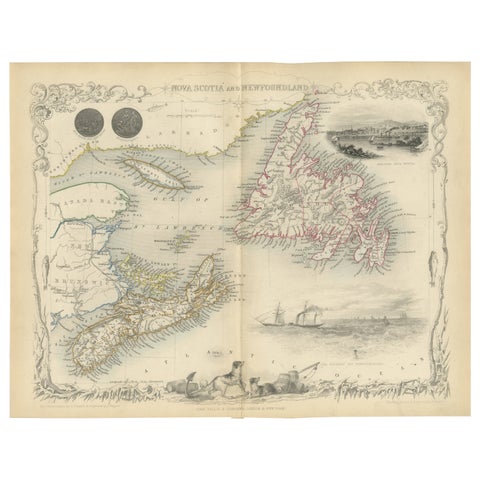
A Decorative Map of Nova Scotia and Newfoundland by John Tallis, 1851
1851 · John Tallis
$380
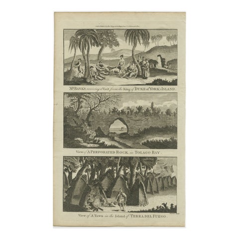
18th Century Engravings of Exploration: Banks, Tolago Bay, Terra del Fuego, 1790
1790 · Captain Cook voyages
$380
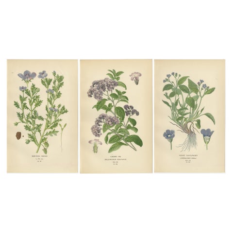
1897 Vibrant Botanical Prints – Baby Blue Eyes, Cherry Pie and Blue Eyed Mary
1897
$380
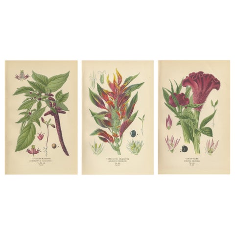
1897 Botanical Prints – Love-Lies-Bleeding, Variegated Amaranth, and Cockscomb
1897
$380
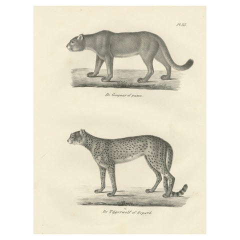
19th-Century Lithograph of the Puma and Cheetah in Graceful Stances
$380
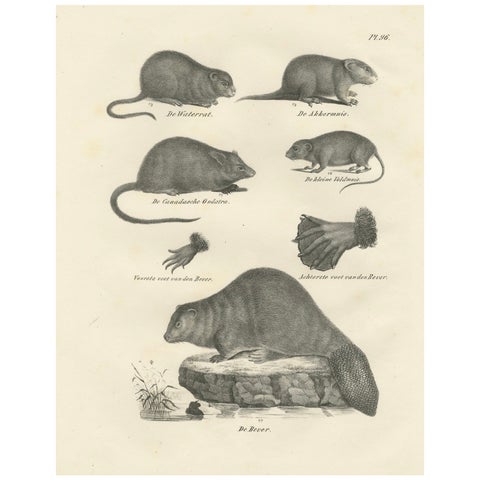
19th-Century Zoological Lithograph of Beavers, Muskrats and Field Mice
$380
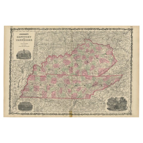
Civil War Era Map of Kentucky and Tennessee with Scenic Insets, Published 1864
1864
$380
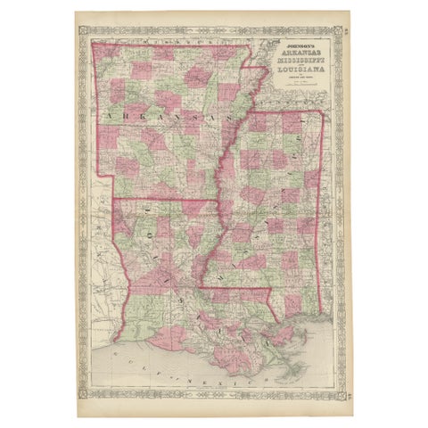
Rare 1864 Civil War Era Map of Arkansas, Mississippi, and Louisiana
1864
$380
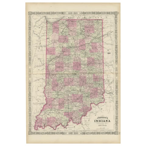
Decorative 1864 Civil War Era Map of Indiana with Lake Michigan Detail
1864
$380
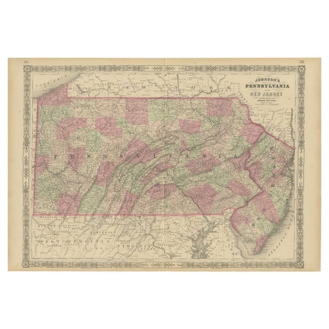
Historic 1864 Civil War Map of Pennsylvania and New Jersey with Coastal Focus
1864
$380
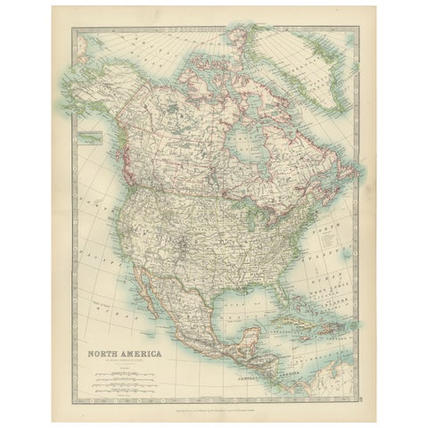
Explore North America in 1903 - Intricately Detailed Antique Map
1903 · W. & A. K. Johnston
$380
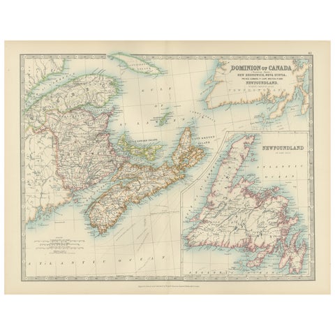
Canada Dominion Map 1903 - A Detailed View of Eastern Canada and Newfoundland
1903 · W. & A. K. Johnston
$380
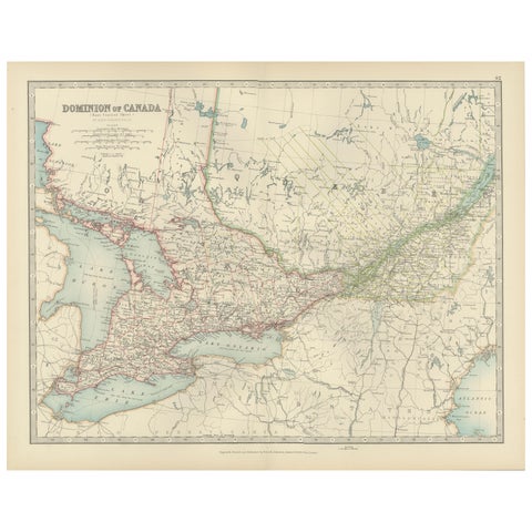
Canada Map 1903 - East Central Dominion - Ontario, Quebec & More
1903 · W. & A. K. Johnston
$380
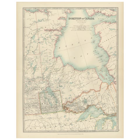
Canada Map 1903 - Dominion of Canada, West Central Sheet
1903 · W. & A. K. Johnston
$380
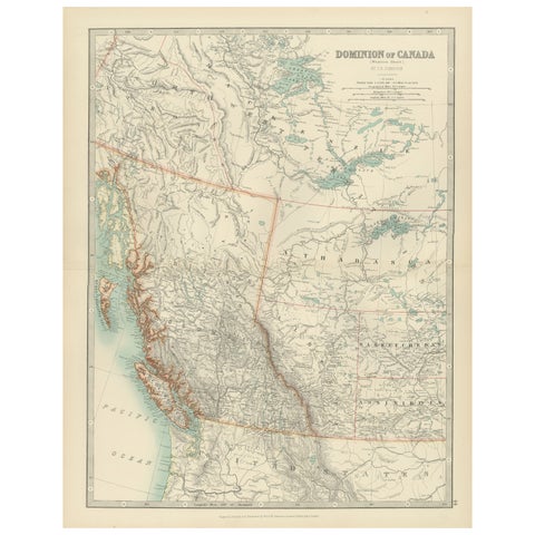
Canada’s West – 1903 Engraved Map by Johnston – Unique and Historic
1903 · W. & A. K. Johnston
$380
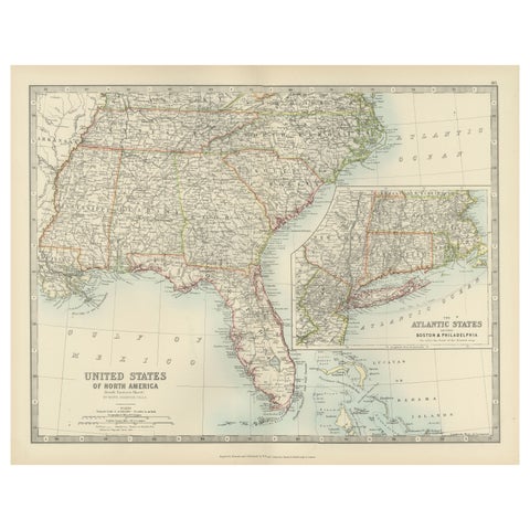
Map of the Southeastern USA and Atlantic States – Vintage 1903 Geography
1903 · W. & A. K. Johnston
$380
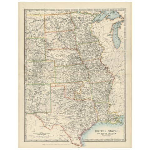
Map of United States Central Sheet 1903 – Railroads, States, and Topography
1903 · W. & A. K. Johnston
$380
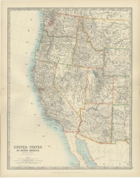
Map of Western United States 1903 – Railroads, State Borders, and Terrain
1903 · W. & A. K. Johnston
$380
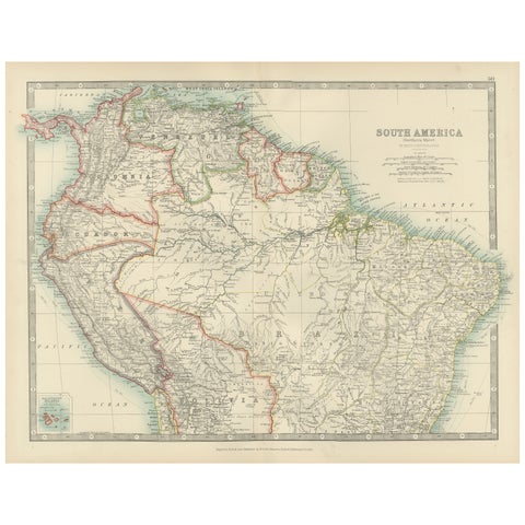
Map of Northern South America – Vibrant Engraving by Keith Johnston, 1903
1903 · W. & A. K. Johnston
$380
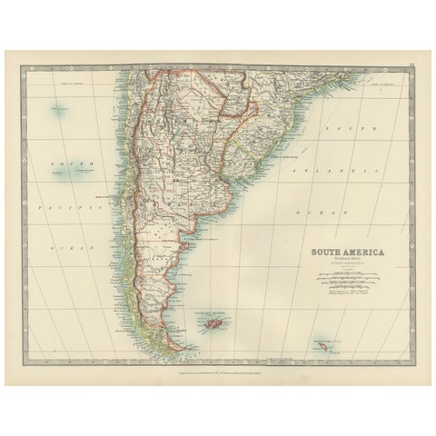
Map of Southern South America – Richly Detailed Engraving by K.Johnston, 1903
1903 · W. & A. K. Johnston
$380
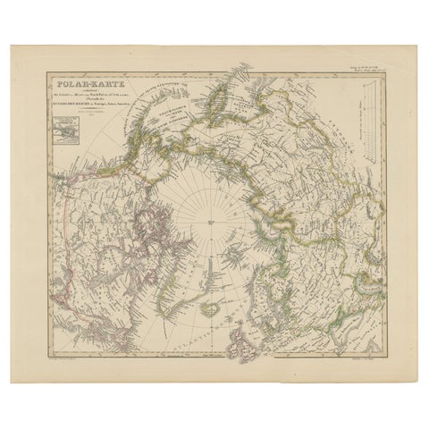
Arctic Polar Map – Greenland, North Pole & Russian Empire Regions, 1857
1857 · Stieler
$380
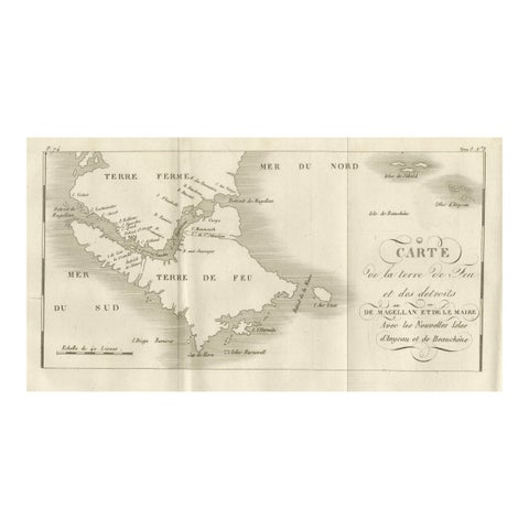
Map of Tierra del Fuego and the Straits of Magellan and Le Maire, c.1760
1760
$380