Search
★ 1,496 original pieces ★
Type a place, a mapmaker or a year in the search box above.
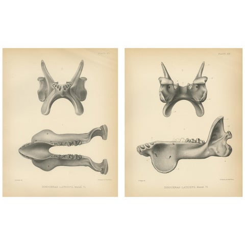
Set of 2 Antique Paleontology Prints of a Dinoceras Laticeps by Marsh, 1886
1886
$280
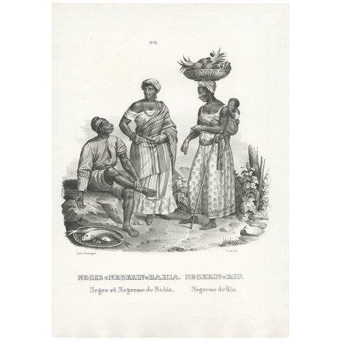
Antique Print of Natives of Bahia and Rio by Honegger (1845)
1845
$280
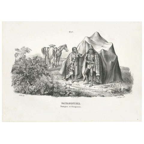
Antique Print of Natives of Patagonia by Honegger (1845)
1845
$280
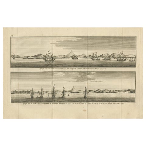
Antique Print with Views of St. Julian, Patagonia, 1749
1749
$280
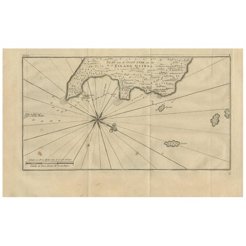
Antique Map of Coiba Island by Anson '1749'
1749
$280
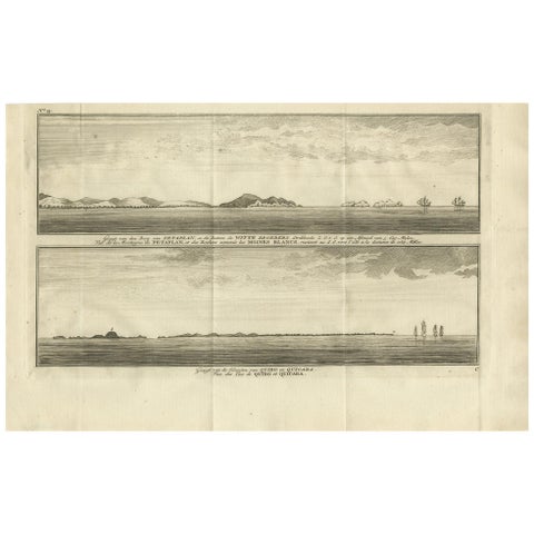
Antique Print of Petatlan and Coiba Island by Anson, '1749'
1749
$280
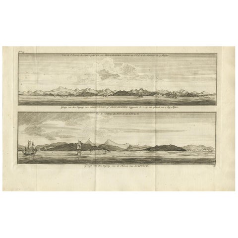
Antique Print of Zihuatanejo and the Harbour of Acapulco by Anson '1749'
1749
$280
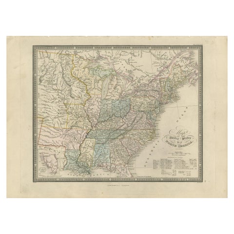
Antique Map of the United States of North America by Wyld '1845'
1845
$280
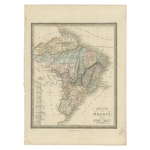
Antique Map of Brazil by Wyld, '1845'
1845
$280
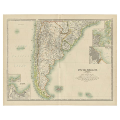
Antique Map of South America by Johnston '1909'
1909 · W. & A. K. Johnston
$280
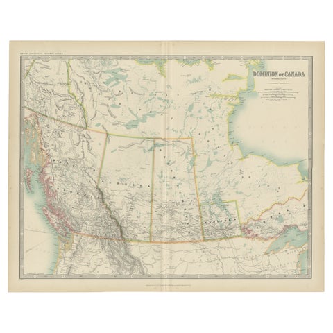
Antique Map of Canada by Johnston '1909'
1909 · W. & A. K. Johnston
$280
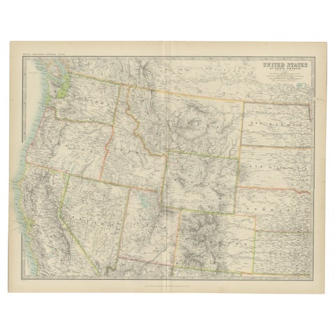
Antique Map of the United States 'North West' by Johnston, '1909'
1909 · W. & A. K. Johnston
$280
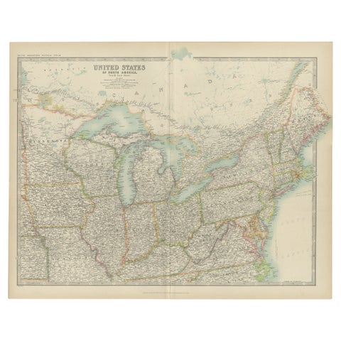
Antique Map of the United States ' North East ' by Johnston '1909'
1909 · W. & A. K. Johnston
$280
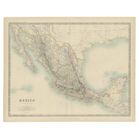
Antique Map of Mexico by Johnston, '1909'
1909 · W. & A. K. Johnston
$280
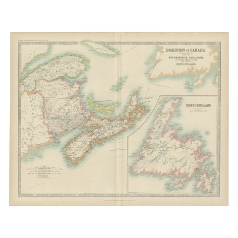
Antique Map of Canada by Johnston '1909'
1909 · W. & A. K. Johnston
$280
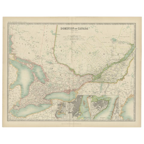
Antique Map of Canada by Johnston '1909'
1909 · W. & A. K. Johnston
$280
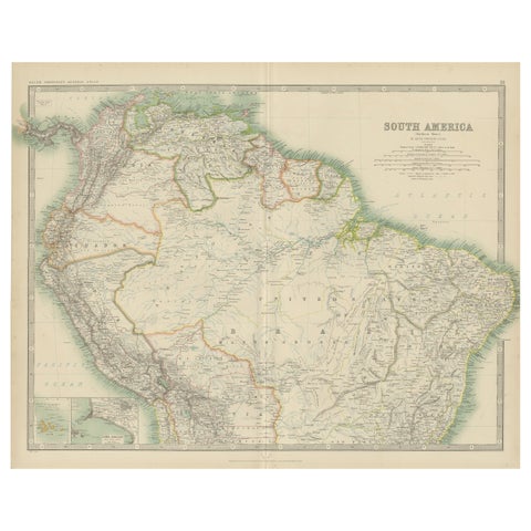
Exploring South America's North: Antique Map from the Royal Atlas of 1909
1909 · W. & A. K. Johnston
$280
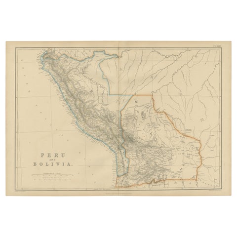
Antique Map of Peru and Bolivia by W. G. Blackie, 1859
1859
$280
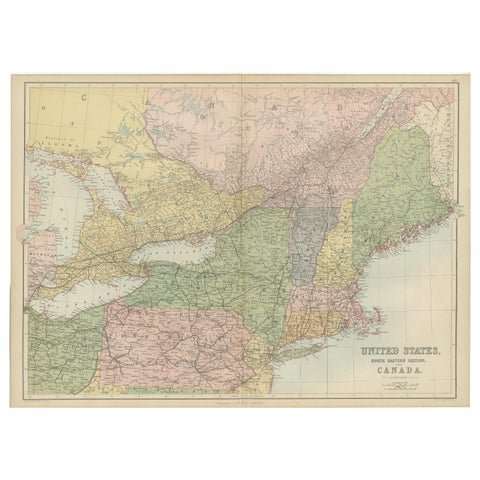
Antique Map of The United States and Canada by A & C. Black, 1870
1870 · Adam & Charles Black
$280
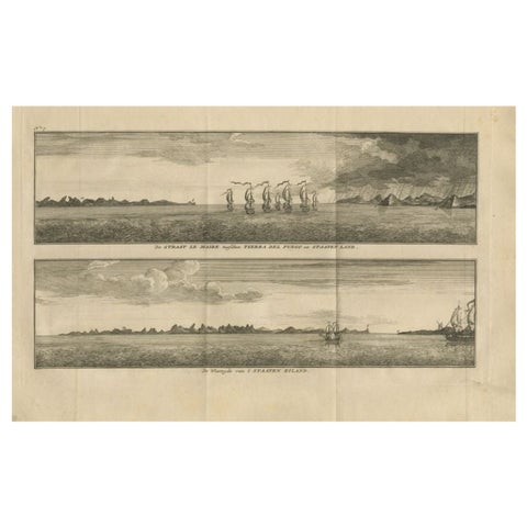
Antique Print with Views of Staten Island and Tierra Del Fuego, 1749
1749
$280
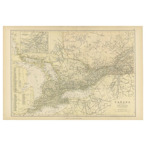
Antique Map of Canada, The Province of Ontario and Part of Quebec, 1882
1882
$280
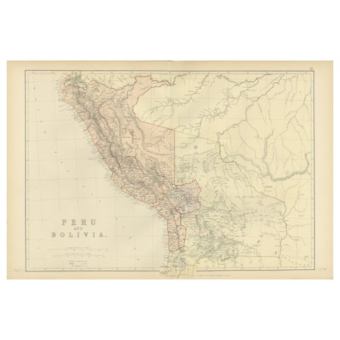
Antique 1882 Antique Map of Peru and Bolivia: Andes Mountains and Amazon Rivers
1882
$280
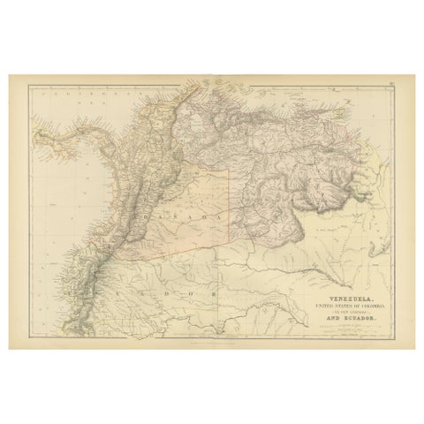
Antique 1882 Map of Venezuela, Colombia (New Granada), and Ecuador
1882
$280
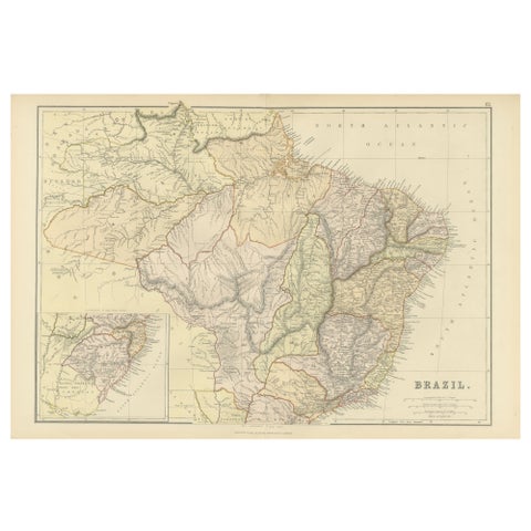
1882 Map of Brazil: Historic Borders, River Systems, and Coastal Regions
1882
$280