Antique maps & prints of the Americas
The Gilded Age
★ 392 original pieces ★
The great commercial atlases of Rand McNally, Cram and Johnson recorded a country covered in railroads. Territories in the West appear as states one after another.
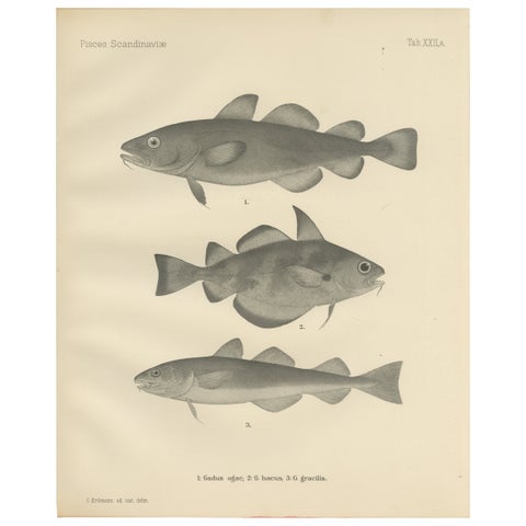
Greenland Cod, Pout and Poor Cod - Intricate Scandinavian Fish Lithograph, 1895
1895
$315
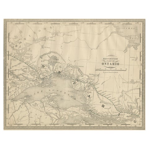
Antique Ontario Map Wall Art – Lake Superior & Northern Ontario, ca.1888
1888 · Rand McNally
$315
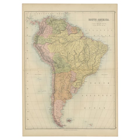
Antique Map of South America by A & C. Black, 1870
1870 · Adam & Charles Black
$310
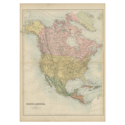
Antique Map of North America by A & C. Black, 1870
1870 · Adam & Charles Black
$310
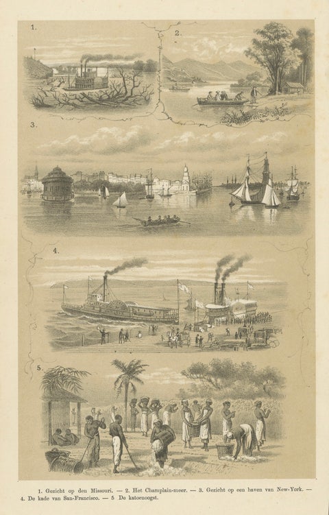
Missouri, Lake Champlain, New York, San Francisco & Cotton Harvest, 1879
1879
$310
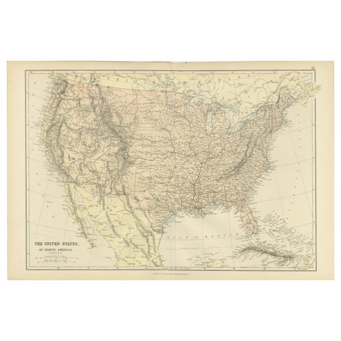
Antique Map of The United States of North America, 1882
1882
$300
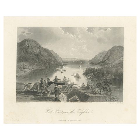
West Point and the Highlands, Hudson River Military View – 1869 Engraving
1869
$300
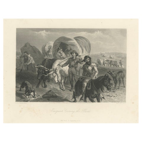
Emigrants Crossing the Plains, American West Wagon Migration – 1869 Engraving
1869
$300
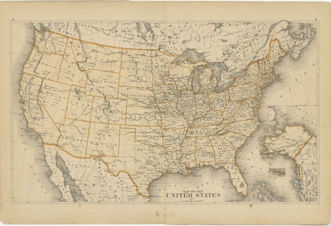
1874 Map of the United States with Territorial Boundaries
1874
$290
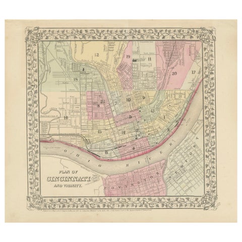
Plan of Cincinnati Map, USA c.1870 – Hand-Colored Street Plan with Wards
1870
$290
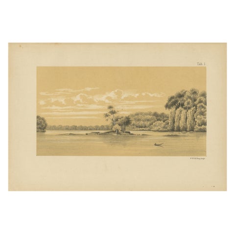
Tafra Island in Suriname - A Romantic River Landscape by Karl Martin, 1888
1888
$290
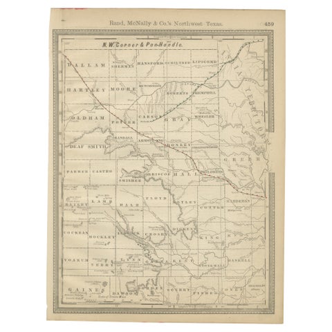
Antique Northwest Texas Map – Panhandle Railroads & Counties, Rand McNally, 1888
1888 · Rand McNally
$290
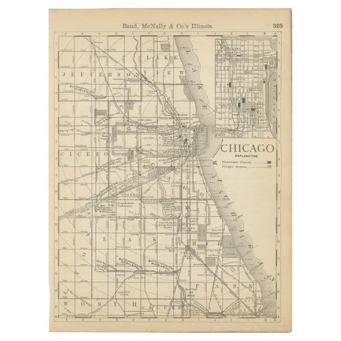
Antique Chicago Map Wall Art – Railroads, Lake Michigan & City Grid, ca.1888
1888 · Rand McNally
$290
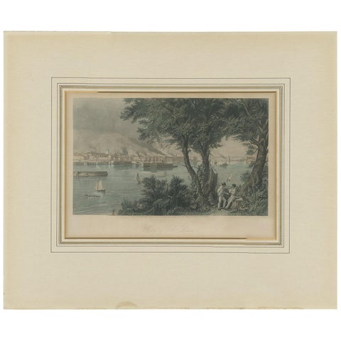
Antique Print of the City of St. Louis by Appleton, 1872
1872
$280
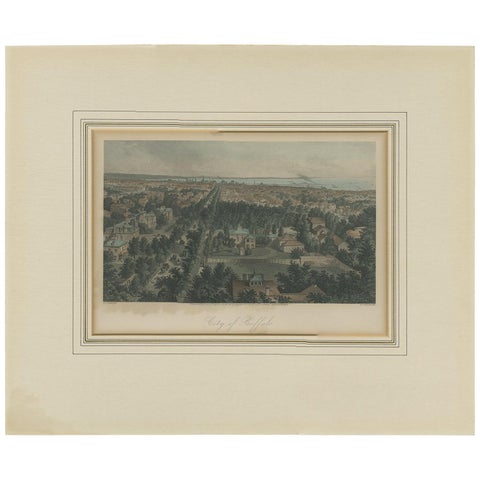
Antique Print of the City of Buffalo by Appleton, 1872
1872
$280
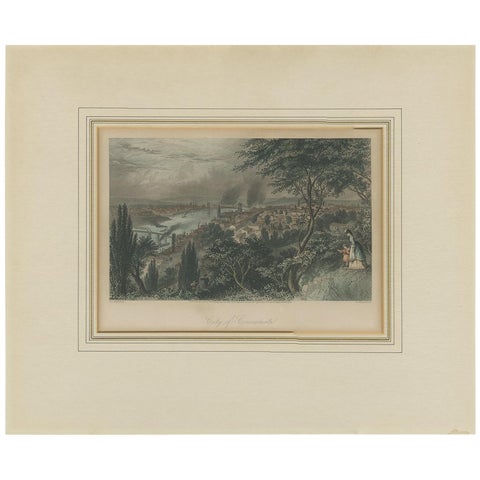
Antique Print of the City of Cincinnati by Appleton, 1872
1872
$280
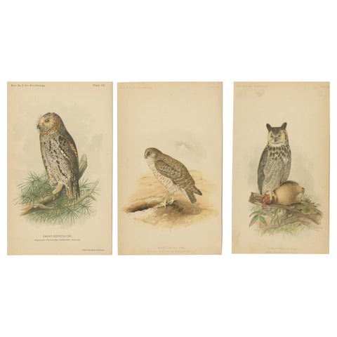
Set of 3 Antique Owl Prints: Dwarf Screech, Burrowing and Great Horned Owl, 1893
1893
$280
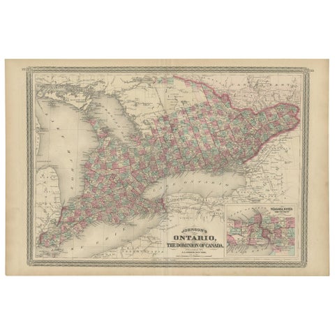
Antique Map of Ontario with an Inset Map of the Niagara River by Johnson, 1872
1872 · A. J. Johnson
$280
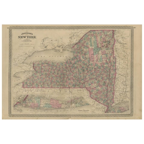
Antique Map of New York by Johnson '1872'
1872 · A. J. Johnson
$280
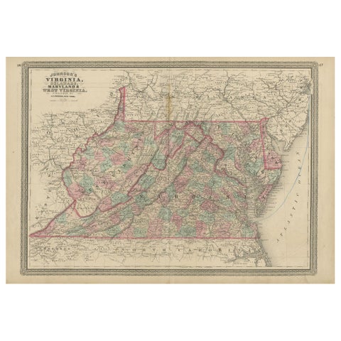
Antique Map of Virginia, Delaware, Maryland & West Virginia by Johnson, 1872
1872 · A. J. Johnson
$280
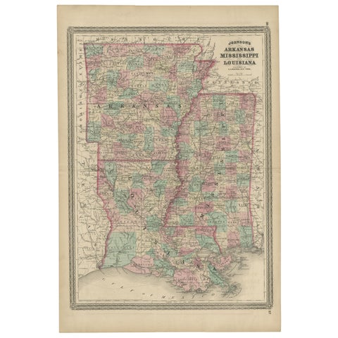
Antique Map of Arkansas, Mississippi and Louisiana by Johnson, 1872
1872 · A. J. Johnson
$280
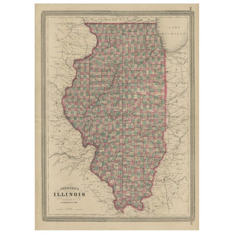
Antique Map of Illinois by Johnson, 1872
1872 · A. J. Johnson
$280
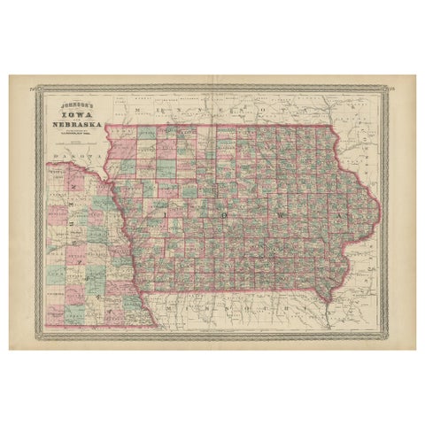
Antique Map of Iowa and Nebraska by Johnson, '1872'
1872 · A. J. Johnson
$280
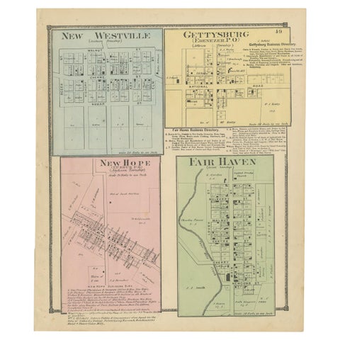
Antique Map of New Westville, Gettysburg, New Hope & Fair Haven, 1871
1871
$280
★
Other periods