Antique maps & prints of the Americas
Westward Expansion & Civil War
★ 186 original pieces ★
Texas, Oregon and the Mexican cession, the gold rush and the Civil War: two decades in which the map of the United States changed faster than at any time before or since.
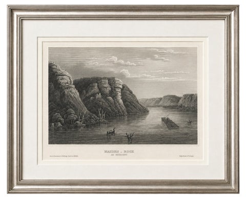
Maiden Rock Mississippi River, Antique Steel Engraving c.1850
1850
$195
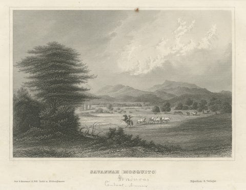
Savannah (Mosquito), Honduras – Antique Engraving, Central America, c.1850
1850
$195
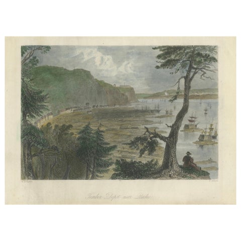
Engraving of a Wood Depot on the St Lawrence River near the City of Quebec, 1850
1850
$190
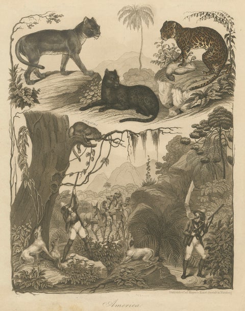
American Hunters and Wild Cats – Antique Mayer Engraving c.1840
1840
$190
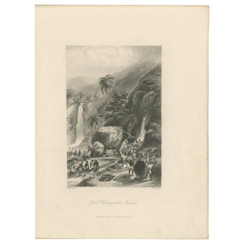
Antique Print of Gold Washing in Brazil by Payne '1847'
1847
$170
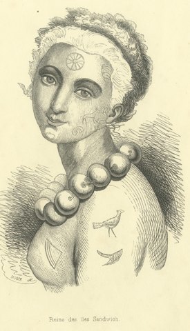
Queen of the Sandwich Islands, Antique Wahlen Costume Print, 1843-1844
1843-1844 · Auguste Wahlen
$160
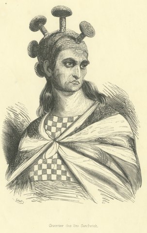
Warrior of the Sandwich Islands, Antique Wahlen Costume Print, 1843-1844
1843-1844 · Auguste Wahlen
$160
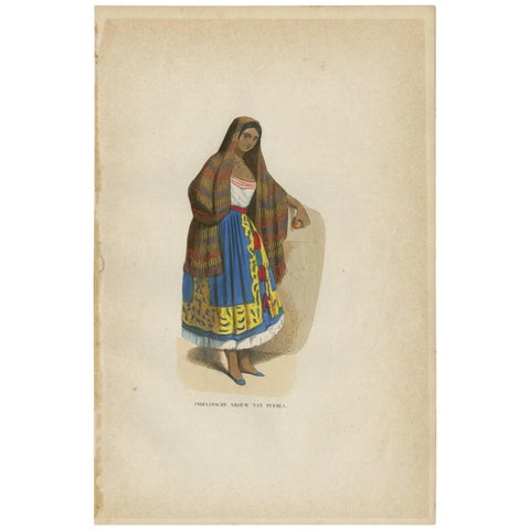
Antique Print of a Female Indian of Puebla Mexico by H. Berghaus, 1855
1855
$155
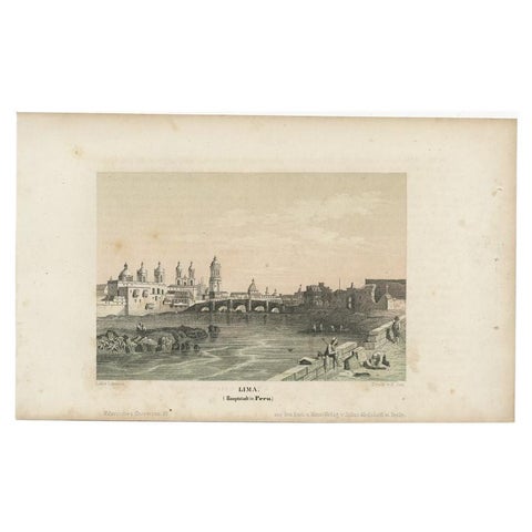
Antique Print of the City of Lima, Capital of Peru, c.1850
1850
$155
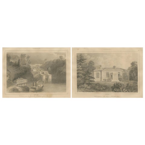
Rideau Canal Locks and Haliburton’s Residence – Pair of Canadian Views, ca.1850
1850
$155
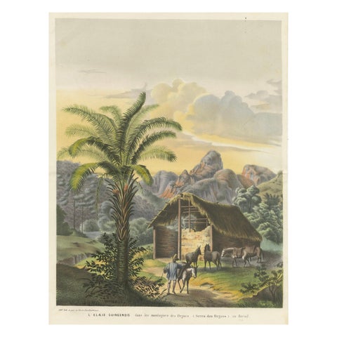
Arecoideae Palm Trees in Serra dos Órgãos, Brazil, circa 1861
1861
$145
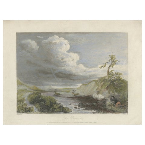
The Prairie – Small Romantic Engraving of the American Frontier, 1841
1841
$145
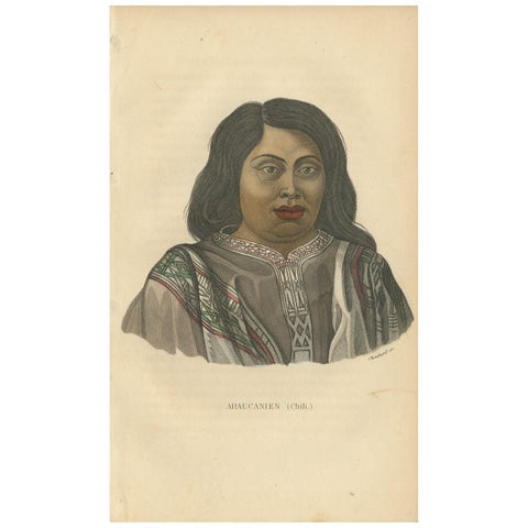
Antique Print of a Native of Araucanía by Prichard, '1843'
1843
$135
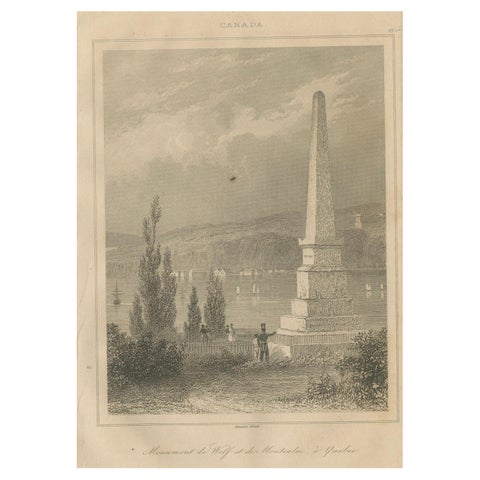
Antique Print of Wolfe and Montcalm Monument – Quebec, Canada, c.1850
1850
$125
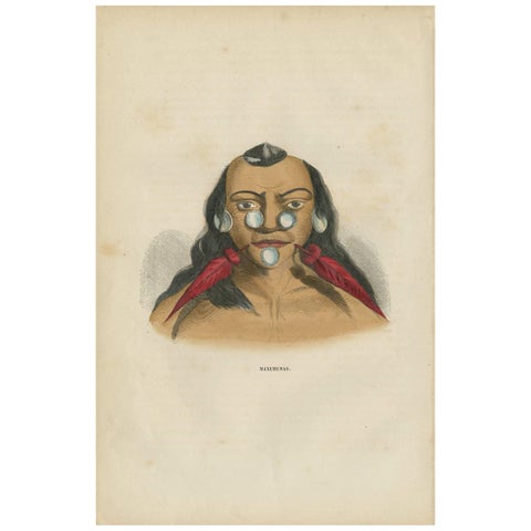
Antique Print of an Inhabitant of Brazil by H. Berghaus, 1855
1855
$110
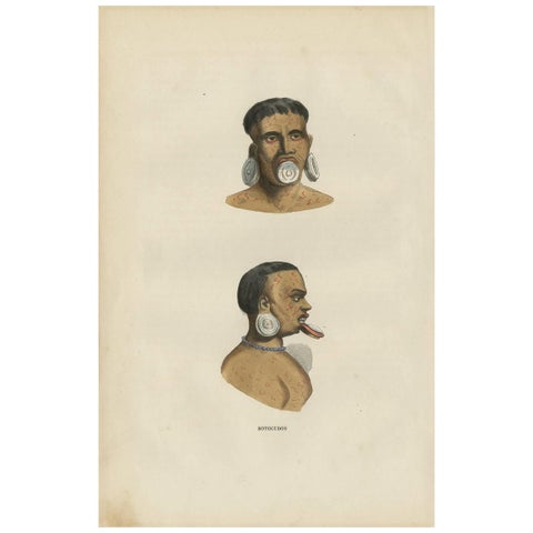
Antique Print of the Indigenous Botocudos of Brazil by H. Berghaus, 1855
1855
$110
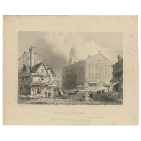
Antique Print of Faneuil Hall in Boston, circa 1860
1860
$110
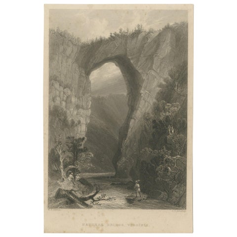
Antique Print of the Natural Bridge of Viriginia, circa 1860
1860
$90
← PreviousPage 8 of 8
★
Other periods