Original antique maps & prints of
Latin America
★ 172 original pieces ★
Our smaller collection of Central and South America: Brazil, Peru, Chile, Argentina, the Guianas and the Andes, in maps, voyage engravings and natural history.
Central America
31 pieces
Brazil
116 pieces
Peru
87 pieces
Chile
50 pieces
Argentina
48 pieces
Colombia & Venezuela
15 pieces
The Guianas
34 pieces
Ecuador, Bolivia & Paraguay
9 pieces
South America
104 pieces
★
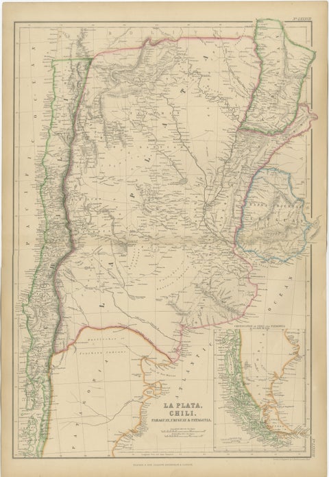
Antique Map of La Plata, Chile, Paraguay, Uruguay and Patagonia, 1860
1860
$325
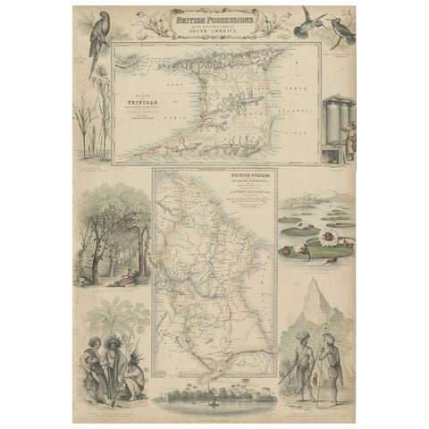
British Possessions on the North West Coast of South America, 1860
1860 · A. Fullarton
$320
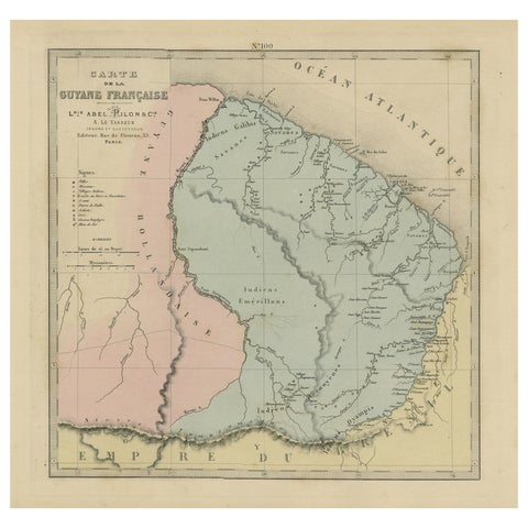
Antique Engraved Map with Original Hand Color of French Guiana, 1876
1876
$315
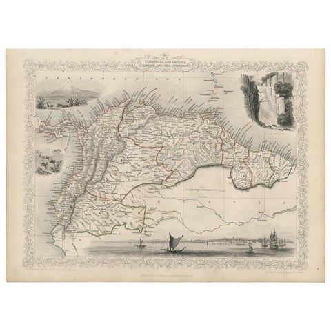
Antique Map of the Northern Part of South America by J. Tallis, circa 1851
1851 · John Tallis
$315

Antique Map of South America ‘North’ by A.K. Johnston, 1865
1865 · W. & A. K. Johnston
$310
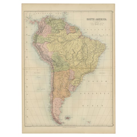
Antique Map of South America by A & C. Black, 1870
1870 · Adam & Charles Black
$310
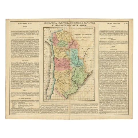
Antique Map of South America by Finlayson, 1822
1822
$300
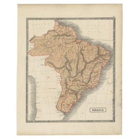
Antique Brazil Map, Sidney Hall Engraving for A & C Black Atlas c.1842–1853
1842 · Adam & Charles Black
$290
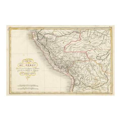
Original Antique Map of Peru with Regions Outlined in Color
1821 · Arrowsmith
$290
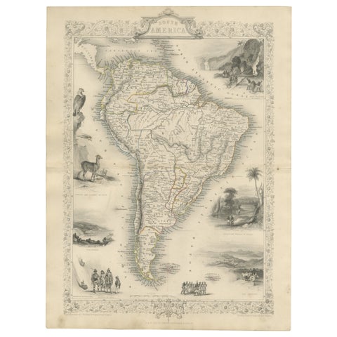
Ornate 1850s Map of South America: A Masterpiece of Exploration & Art by Rapkin
John Tallis
$290
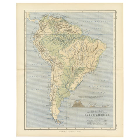
Geological Map of South America by A.K. Johnston – Mountains and Valleys 1852
1852 · W. & A. K. Johnston
$290
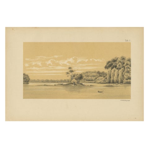
Tafra Island in Suriname - A Romantic River Landscape by Karl Martin, 1888
1888
$290
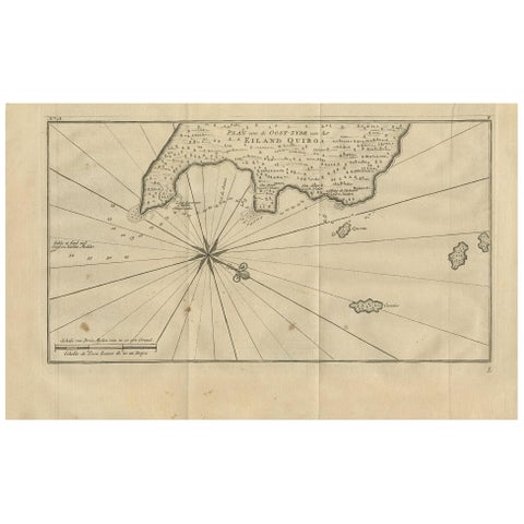
Antique Map of Coiba Island by Anson '1749'
1749
$280
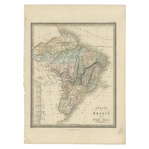
Antique Map of Brazil by Wyld, '1845'
1845
$280
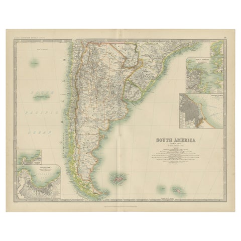
Antique Map of South America by Johnston '1909'
1909 · W. & A. K. Johnston
$280
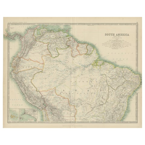
Exploring South America's North: Antique Map from the Royal Atlas of 1909
1909 · W. & A. K. Johnston
$280
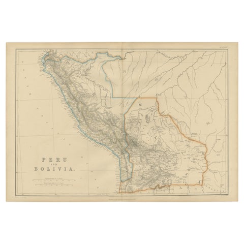
Antique Map of Peru and Bolivia by W. G. Blackie, 1859
1859
$280
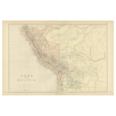
Antique 1882 Antique Map of Peru and Bolivia: Andes Mountains and Amazon Rivers
1882
$280
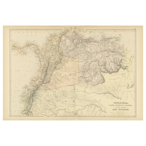
Antique 1882 Map of Venezuela, Colombia (New Granada), and Ecuador
1882
$280
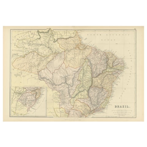
1882 Map of Brazil: Historic Borders, River Systems, and Coastal Regions
1882
$280
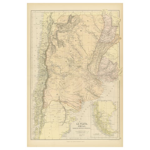
1882 Map of Argentina, La Plata, Chile, Paraguay, Uruguay, and Patagonia
1882
$280
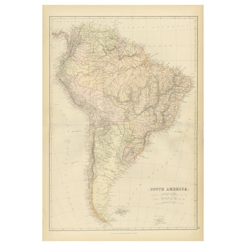
1882 Detailed Map of South America showing Political and Geographical Features
1882
$280
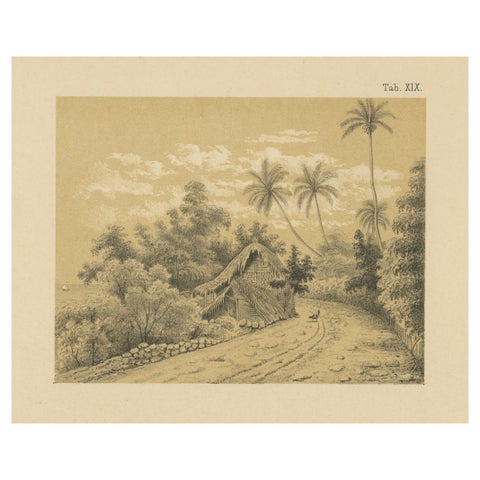
Antique Venezuela La Guaira Landscape - Dutch Colonial Tinted Lithograph, 1888
1888
$280

Antique Map of South America with the Falklands and South Georgia, 1858
1858
$270