Original antique maps & prints of
The Pacific Coast
★ 26 original pieces ★
California, Oregon, Washington, Alaska and Hawaii, from the Pacific voyages of the eighteenth century to the gold rush and after.
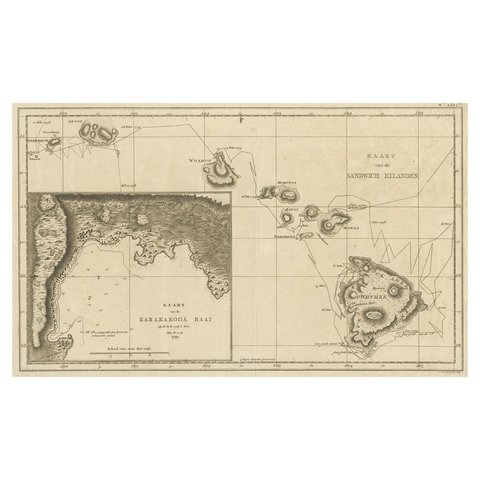
Map of the Hawaiian Islands with a Large Inset of Karakakooa Bay, 1803
1803
$2,520
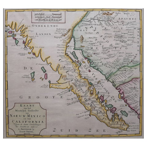
Original Antique Map of the Western Part of NEW MEXICO & CALIFORNIA
1765
$1,455
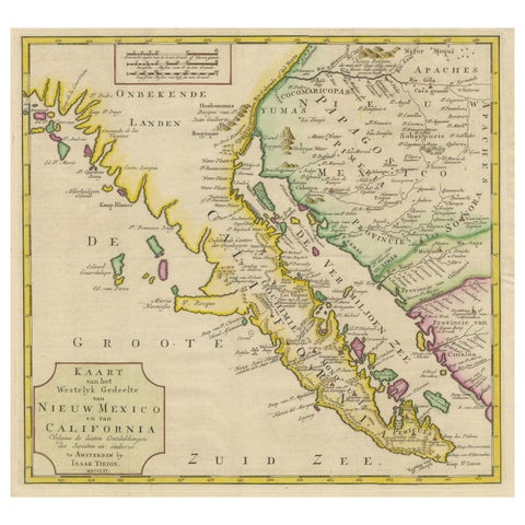
Antique Map of Baja California and parts of Alta California, Arizona and Sonora
1765
$1,110
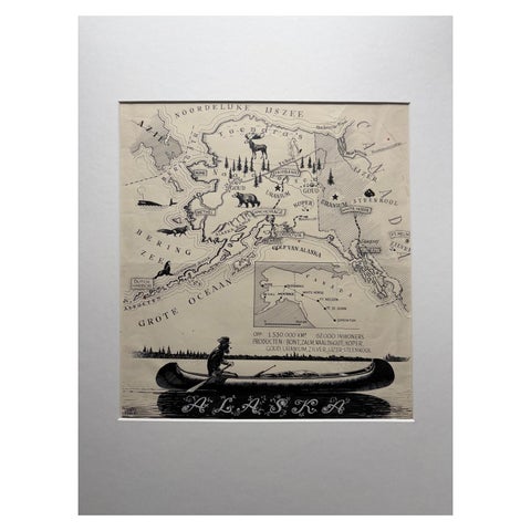
Original Illustration Map of Alaska by Charles Burki, ca. 1945 – Ink Drawing
1945
$1,050
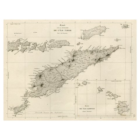
Rare Antique Map with Timor and Nearby Islands Plus an Inset of Hawaii, 1825
1825
$950
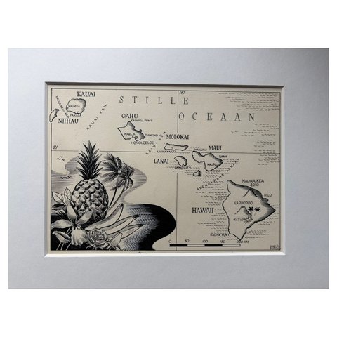
Original Illustration Map of Hawaii by Charles Burki, ca. 1948 – Ink Drawing
1948
$885
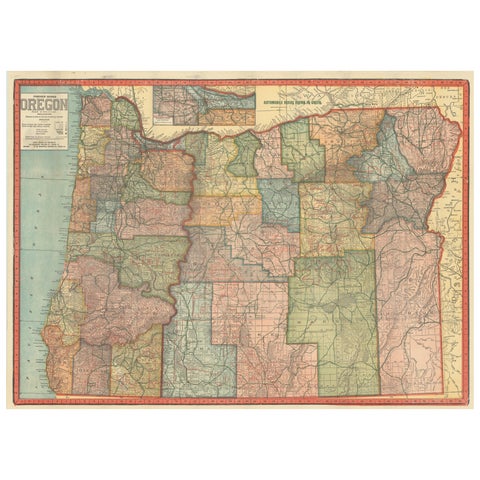
Colorful 1915 Road Map of Oregon with Portland Inset & Index – Geographical Pub.
1915
$860
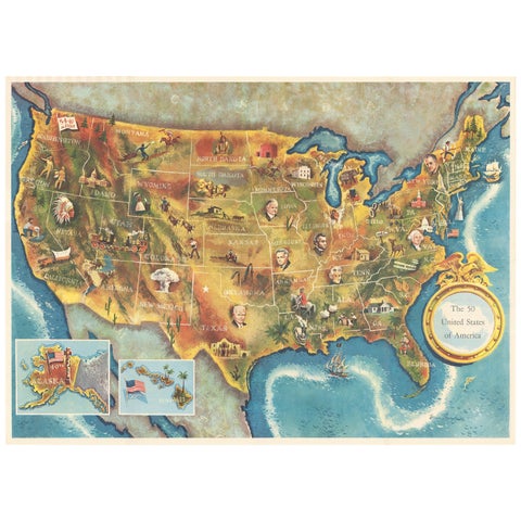
American Election Map and 1960 Presidential Fact Sheet, Published 1960
1960
$670
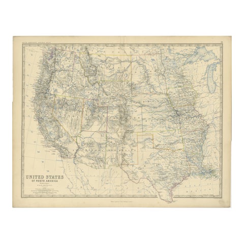
1874 Map of Western United States – Detailed Atlas by Keith Johnston
1874 · W. & A. K. Johnston
$615
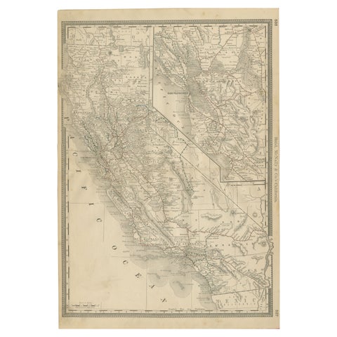
1888 California Map – The Golden State’s Railroads, Cities & Counties
1888 · Rand McNally
$605
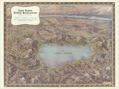
Vintage Lake Tahoe Bird’s-Eye View Pictorial Map by Gerald A. Eddy, circa 1945
1945
$605
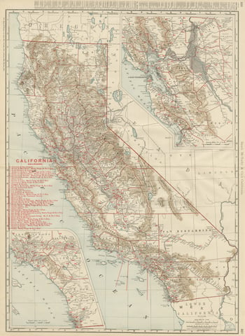
Antique Map of California, The Golden State, Rand McNally, 1899
1899 · Rand McNally
$555
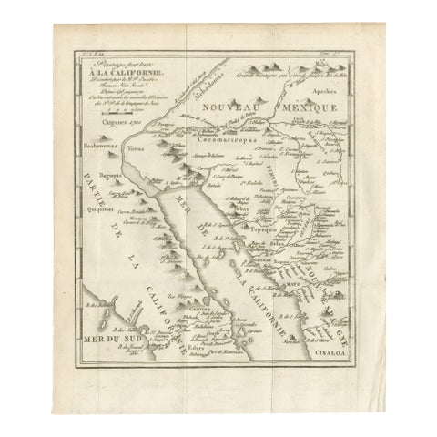
Old Map of the Overland Route to California – Early Exploration Pathways, 1701
1701
$550
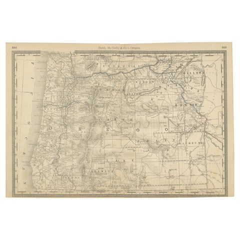
1888 Antique Map of Oregon – Railroads, Counties & Native Indian Reservations
1888 · Rand McNally
$535
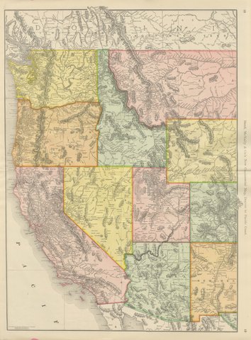
Antique Map of the Western United States, Denver to the Pacific Coast, 1899
1899 · Rand McNally
$500
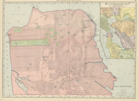
Antique Map of San Francisco, with Golden Gate Park, Rand McNally, 1899
1899 · Rand McNally
$500
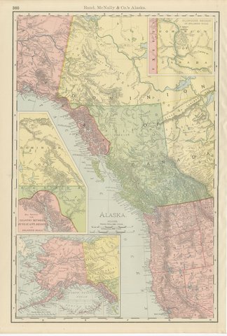
Antique Map of Alaska, with Klondike Gold Fields Inset, Rand McNally, 1899
1899 · Rand McNally
$500
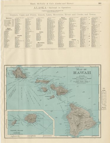
Antique Map of Hawaii, with Oahu and Honolulu, Rand McNally, 1899
1899 · Rand McNally
$500
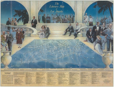
Vintage Literary Map of Los Angeles by Linda Ayriss, 1987
1987
$500
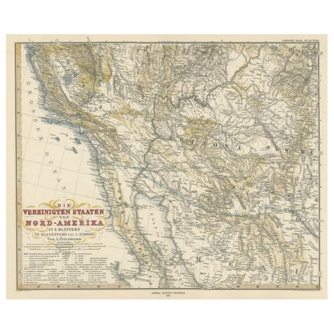
Antique Map of Part of the United States Including Lower California & Arizona
circa 1879 · Stieler
$490
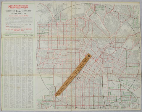
Antique E-Z Guide Map of Los Angeles with Rotating Locator, 1927
1927
$490
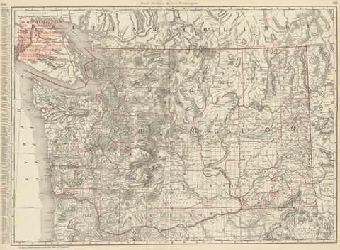
Antique Map of Washington State, The Evergreen State, Rand McNally, 1899
1899 · Rand McNally
$440
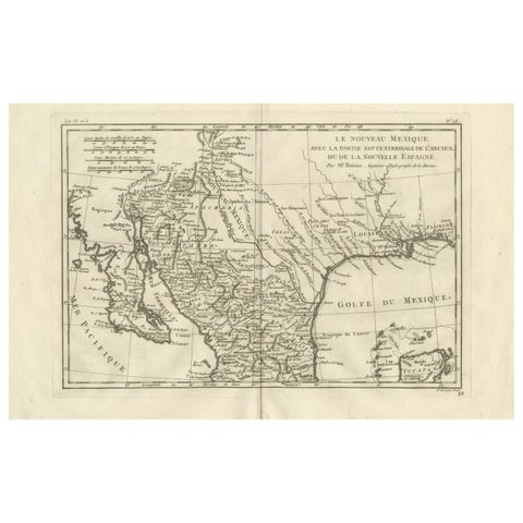
New Mexico & Northern New Spain – Enlightenment Map by Rigobert Bonne, c.1780
1780 · Rigobert Bonne
$435
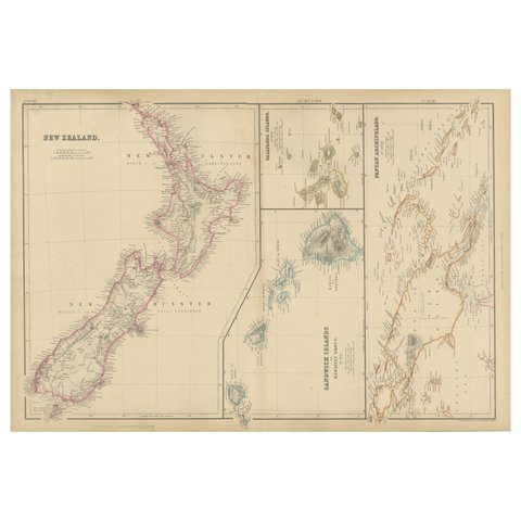
New Zealand, Antique Map, Pacific Islands, Sandwich Islands, Blackie Atlas 1860
1860
$405
Page 1 of 2Next →
★
States in The Pacific Coast