Black Friday Sale now on: up to 30% off until Monday 30 November →
Orders placed from 15 to 30 November ship from 1 December, in time for Christmas. Our shipping partner: InXpress.

A Bartele Gallery CollectionLangweer · Jakarta

American Maps & Prints
Original antique maps, charts & prints of the Americas ★ Originals only


americanmapsandprints.com

✦

Black Friday Sale now on

Up to 30% off original antique maps and prints, until Monday 30 November

Follow your favourite collections

Receive a weekly selection of new arrivals from the collections you love.

You can change your choices or unsubscribe at any time.

The terms

  • Up to 30% off selected original antique maps and prints. Every piece is an original, printed in its own time; none is a reproduction.
  • The sale runs until Monday 30 November. Prices revert on Tuesday 1 December.
  • Free FedEx shipping on qualifying orders placed on our own websites: USA, Canada, UK and Europe over $500 / €450; rest of the world over $750 / €675. Smaller orders pay our normal shipping rate.
  • Orders placed from 15 to 30 November ship from 1 December, in time for Christmas. Our shipping partner is InXpress.
  • Each piece is unique, so the sale is while stock lasts.
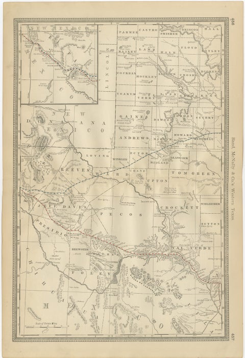
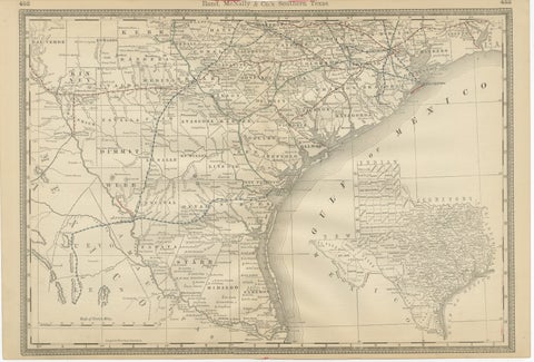
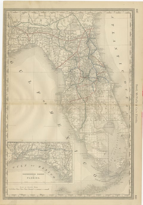
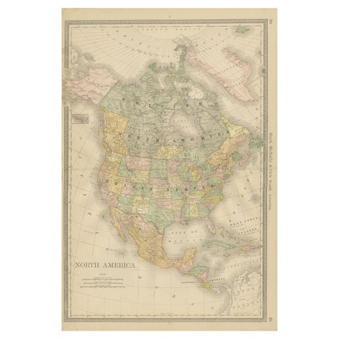
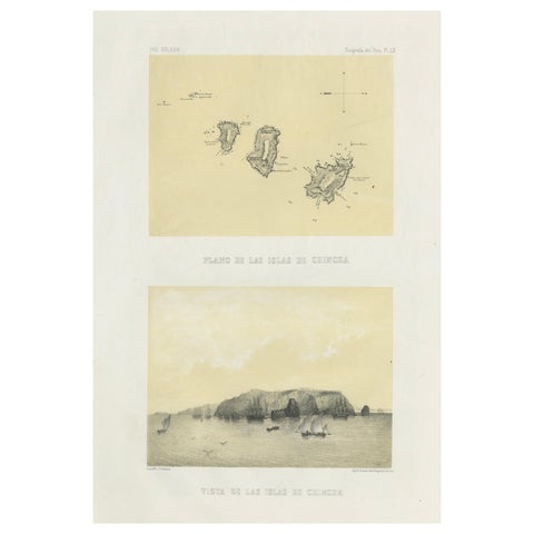
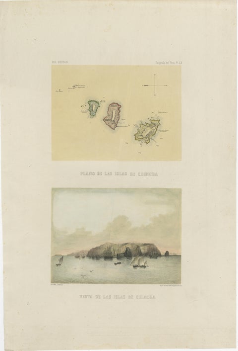
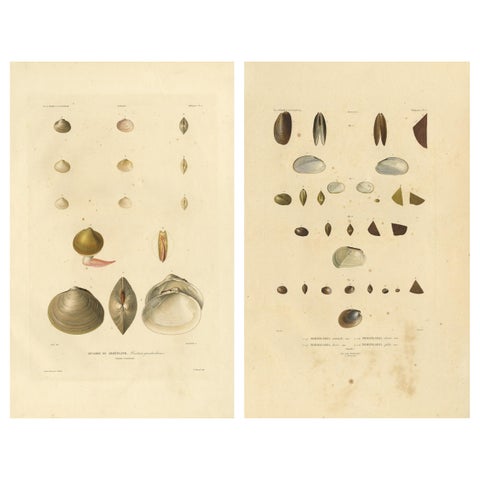
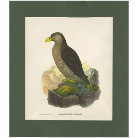
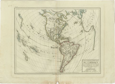
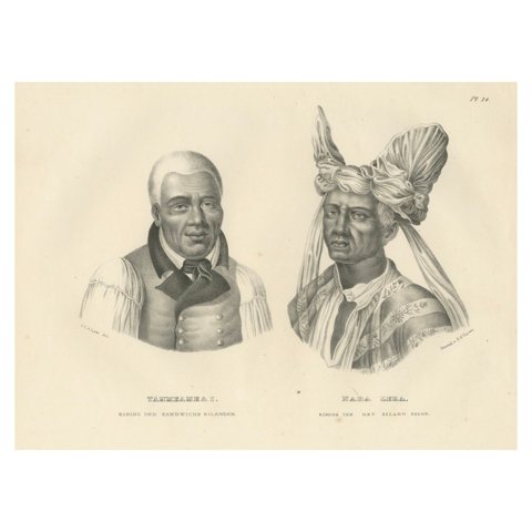
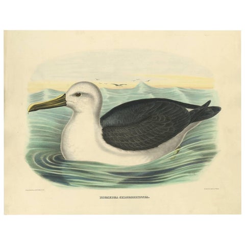
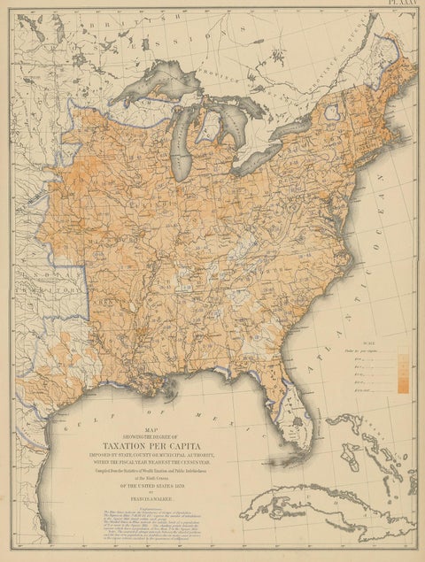
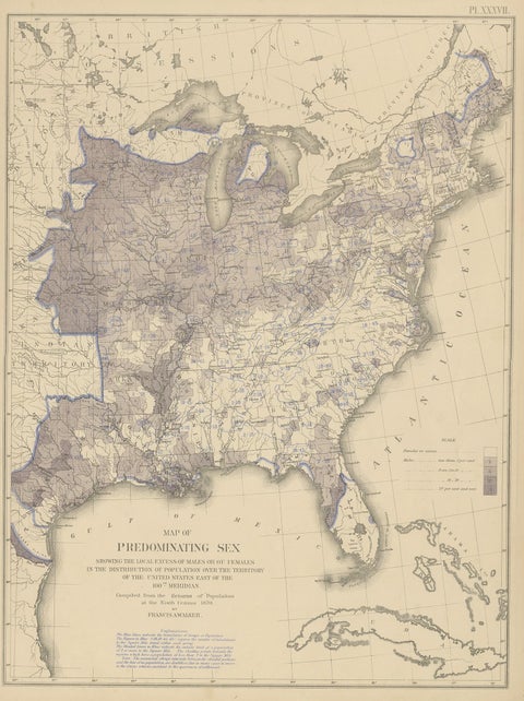
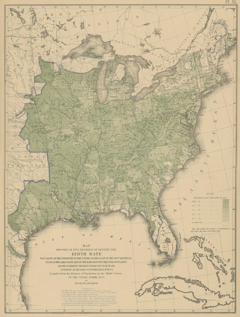
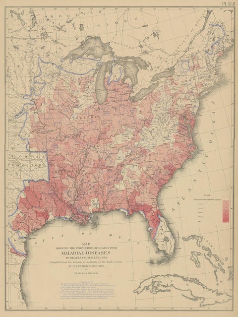
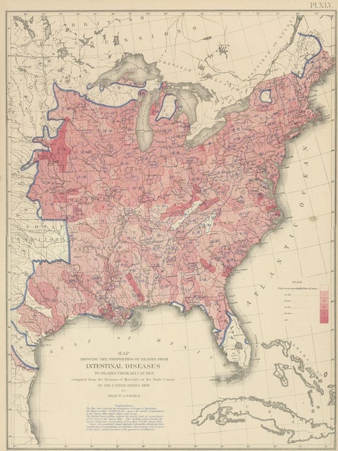
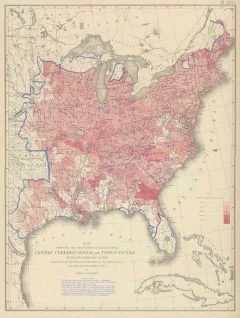
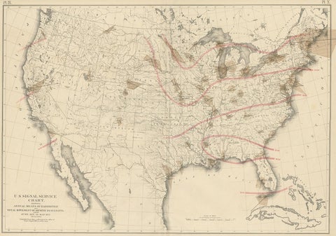
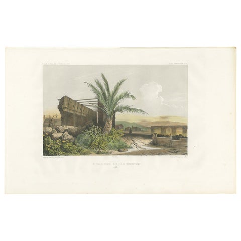
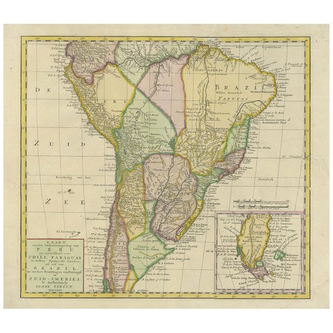
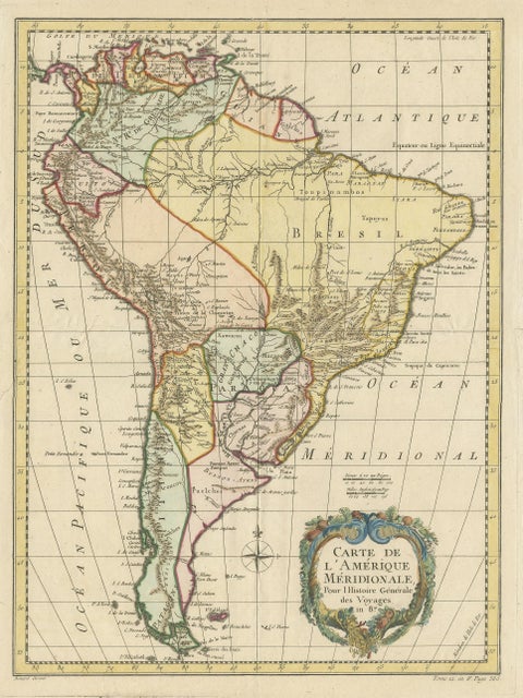
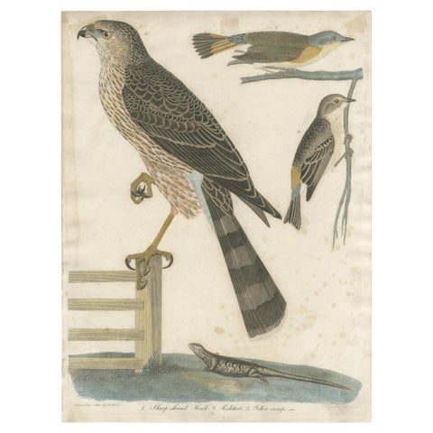
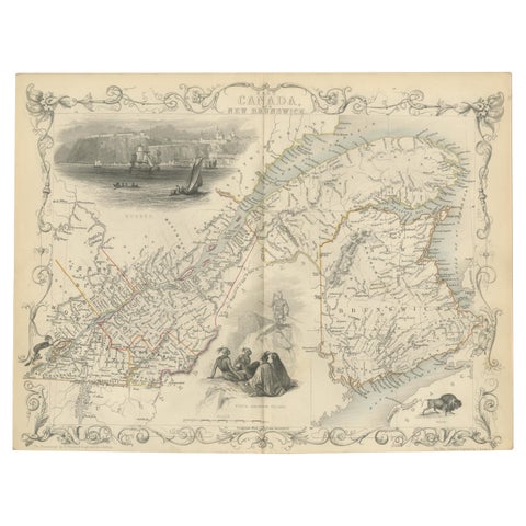
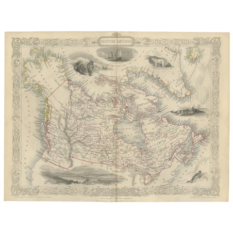
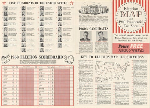
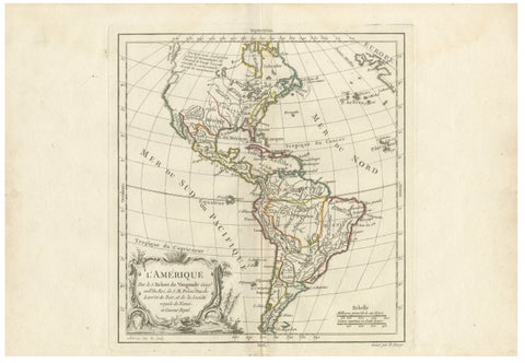
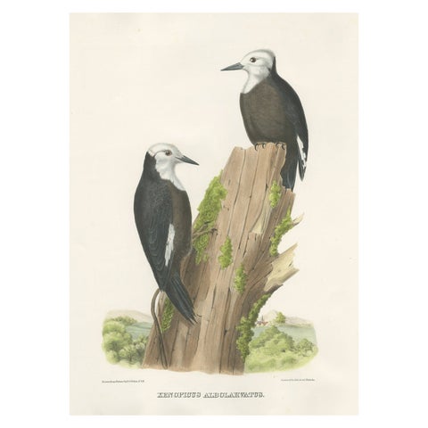
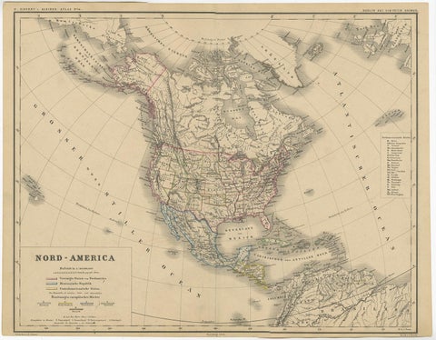
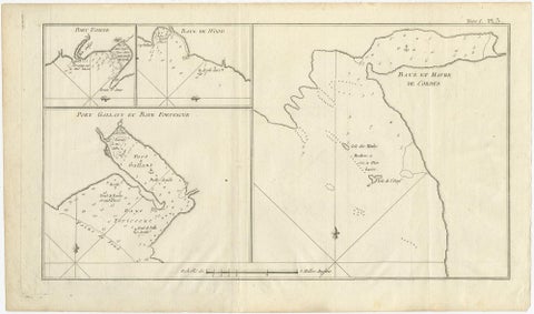
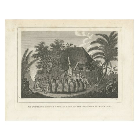
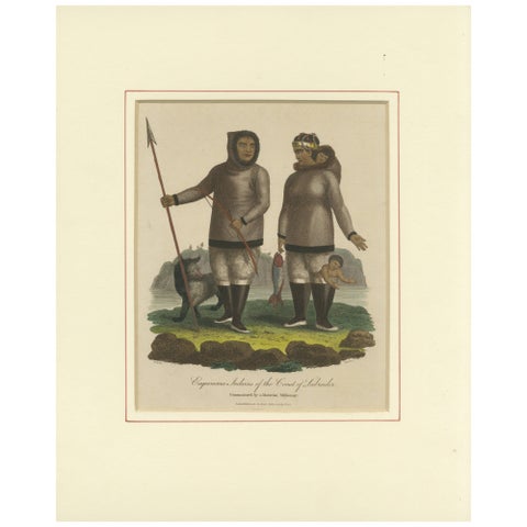
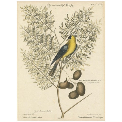
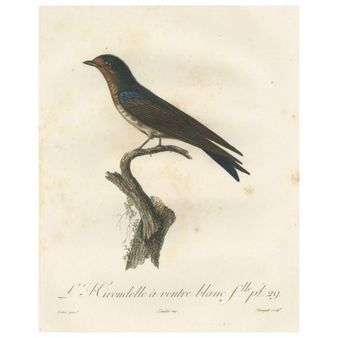
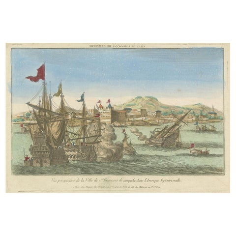
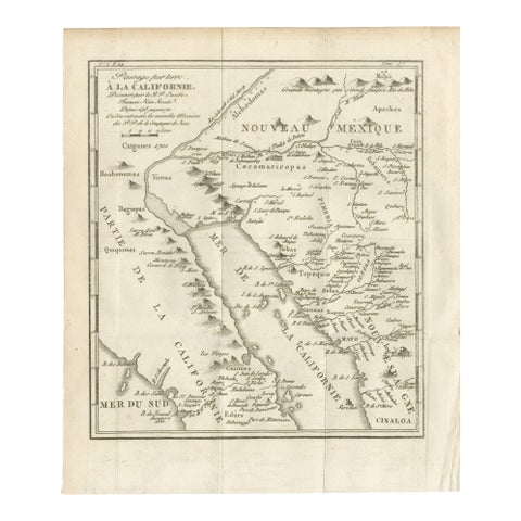
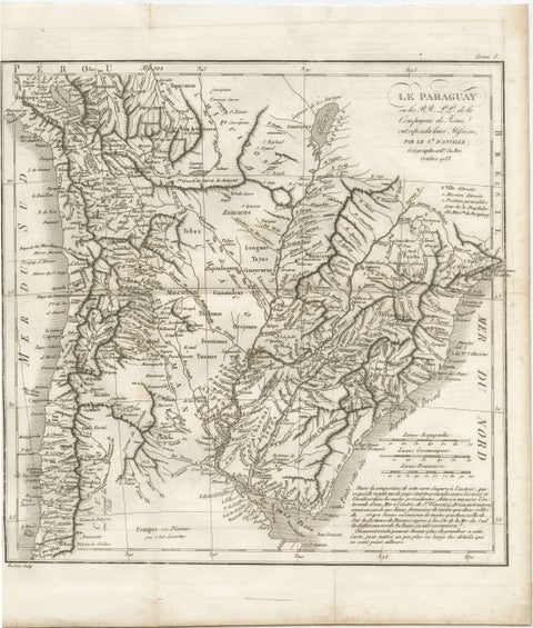
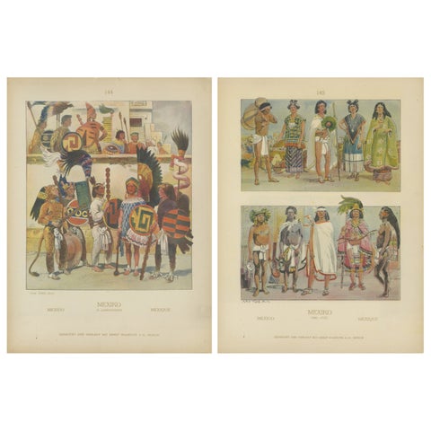
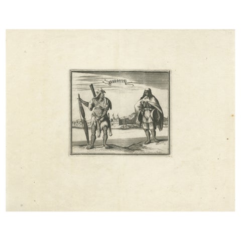
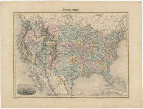
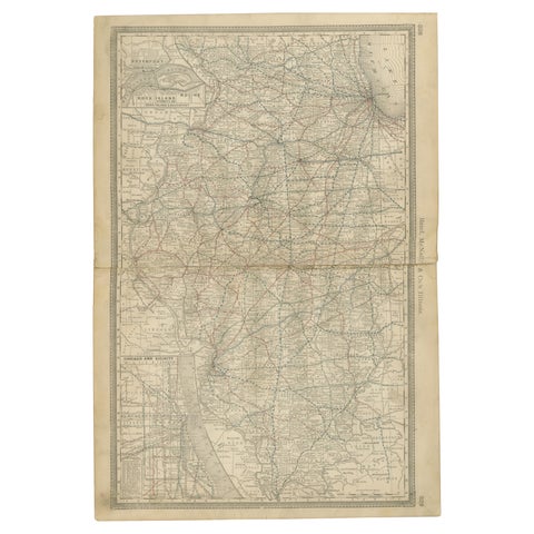
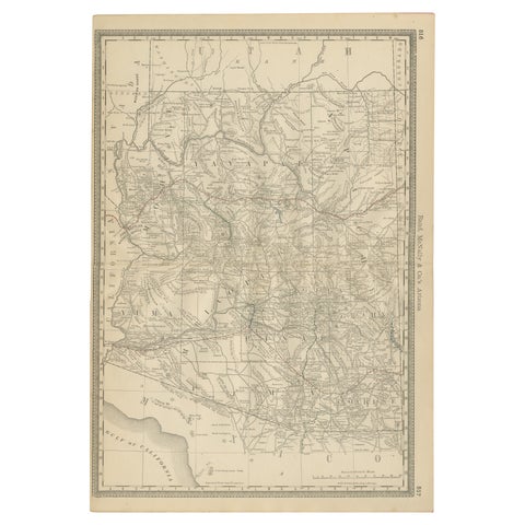
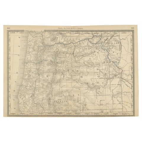
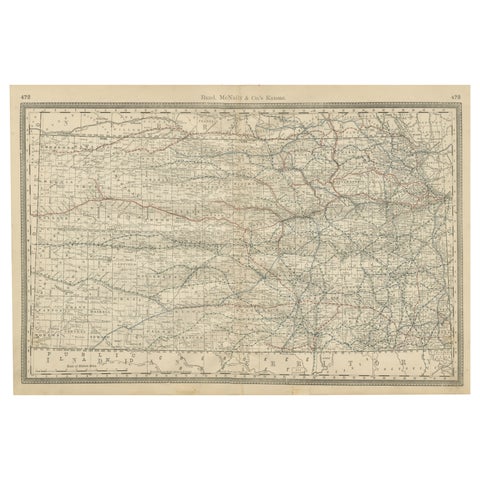
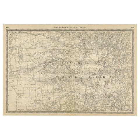
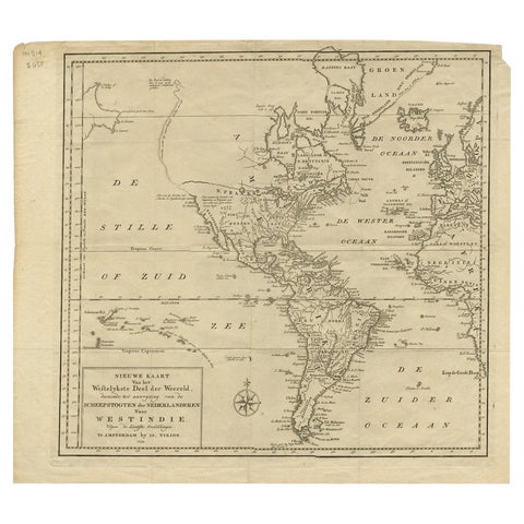
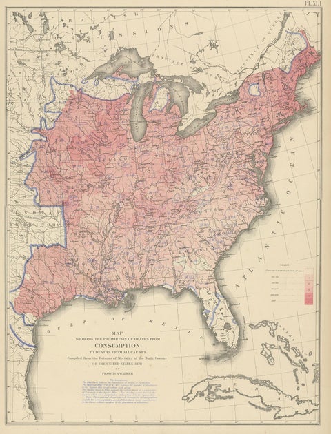
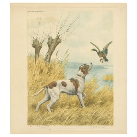
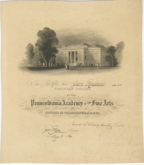
Western Texas Antique Map 1888 – Railroads, Counties & Frontier TownsWestern Texas Antique Map 1888 – Railroads, Counties & Frontier Towns$595 $415 30% offAntique Map 1888 – Southern Texas Railroads, Counties & SettlementsAntique Map 1888 – Southern Texas Railroads, Counties & Settlements$595 $415 30% offFlorida 1888 Antique Map – Railroads, Settlements & Gulf Coast DetailFlorida 1888 Antique Map – Railroads, Settlements & Gulf Coast Detail$595 $415 30% offNorth America Antique Railroad Map c.1888 – U.S., Canada & MexicoNorth America Antique Railroad Map c.1888 – U.S., Canada & Mexico$595 $415 30% offChincha Islands Antique Lithograph 1865 – Map & Coastal Scene, PeruChincha Islands Antique Lithograph 1865 – Map & Coastal Scene, Peru$595 $415 30% offHand-colored lithograph map and view of the Chincha Islands, Peru – 1865Hand-colored lithograph map and view of the Chincha Islands, Peru – 1865$595 $415 30% offAntique Conchology Prints – Greenland Bivalves and Modiolaria Shells, 1842Antique Conchology Prints – Greenland Bivalves and Modiolaria Shells, 1842$595 $415 30% offAntique Bird Print of a Latham's Guillemot Made after J. Wolf, 1868Antique Bird Print of a Latham's Guillemot Made after J. Wolf, 1868$580 $410 30% offAntique Map of North and South America by Pierre Antoine Tardieu (1784-1869)Antique Map of North and South America by Pierre Antoine Tardieu (1784-1869)$570 $400 30% offPortraits of Tammeamea I of Hawaii and Naba Leba of Solor by Brodtmann, 1836Portraits of Tammeamea I of Hawaii and Naba Leba of Solor by Brodtmann, 1836$560 $390 30% offAntique Bird Print of a Yellow-Nosed Albatros Made After D.G. Elliot, 1869Antique Bird Print of a Yellow-Nosed Albatros Made After D.G. Elliot, 1869$560 $390 30% offPl. 35 Antique Chart of the US Taxation, 1874Pl. 35 Antique Chart of the US Taxation, 1874$550 $385 30% offAntique Chart of the US Predominating Sex, 1874Antique Chart of the US Predominating Sex, 1874$550 $385 30% offPl. 40 Antique Chart of the US Birth Rate, 1874Pl. 40 Antique Chart of the US Birth Rate, 1874$550 $385 30% offAntique Chart of the US Malarial Deaths, '1874'Antique Chart of the US Malarial Deaths, '1874'$550 $385 30% offPl. 45 Antique Chart of the US Inestinal Diseases Deaths, 1874Pl. 45 Antique Chart of the US Inestinal Diseases Deaths, 1874$550 $385 30% offAntique Chart of the US Enteric, Cerebro-Spinal, Typhus Deaths, '1874'Antique Chart of the US Enteric, Cerebro-Spinal, Typhus Deaths, '1874'$550 $385 30% offPl. 9 Antique Map of the Air Movement of the United States by Walker '1874'Pl. 9 Antique Map of the Air Movement of the United States by Walker '1874'$550 $385 30% offAntique Print of a Ruin in Concepción 'Chile' by D'Urville, circa 1850Antique Print of a Ruin in Concepción 'Chile' by D'Urville, circa 1850$550 $385 30% offAntique Map of South America by Tirion 'circa 1765'Antique Map of South America by Tirion 'circa 1765'$550 $385 30% offAntique Map of South America by De la Harpe '1780'Antique Map of South America by De la Harpe '1780'$550 $385 30% offAntique Bird Print of the Red-Shinned Hawk, Redstart and a Warbler 'c.1820'Antique Bird Print of the Red-Shinned Hawk, Redstart and a Warbler 'c.1820'$550 $385 30% offAntique Map of East Canada 'Quebec and New Brunswick' by Tallis 'c.1850'Antique Map of East Canada 'Quebec and New Brunswick' by Tallis 'c.1850'$550 $385 30% offAntique Map of British America by Tallis 'c.1850'Antique Map of British America by Tallis 'c.1850'$550 $385 30% offAmerican Election Map and 1960 Presidential Fact Sheet, Published 1960American Election Map and 1960 Presidential Fact Sheet, Published 1960$660 $495 25% offMap of the Americas by Robert de Vaugondy, Original Hand-Colored Map, 1757Map of the Americas by Robert de Vaugondy, Original Hand-Colored Map, 1757$655 $490 25% offAntique Hand-Colored Print of North American White-Headed Woodpecker Birds, 1869Antique Hand-Colored Print of North American White-Headed Woodpecker Birds, 1869$650 $490 25% offOld Original Antique German Map of North America, ca.1870Old Original Antique German Map of North America, ca.1870$540 $375 30% offAntique Map of Cordes Bay, Port Famine & Fortescue Bay – Patagonia, 1774Antique Map of Cordes Bay, Port Famine & Fortescue Bay – Patagonia, 1774$540 $375 30% offThe Ceremonial Offering to Captain Cook in Hawaii, Engraved in 1778The Ceremonial Offering to Captain Cook in Hawaii, Engraved in 1778$540 $375 30% offInuit Eskimo Life: An 1812 Moravian Missionary's Account from the Labrador CoastInuit Eskimo Life: An 1812 Moravian Missionary's Account from the Labrador Coast$540 $375 30% offBird Print of an American Goldfinch on a Branch Engraved and Hand-Colored, 1749Bird Print of an American Goldfinch on a Branch Engraved and Hand-Colored, 1749$540 $375 30% offThe White-Bellied Caribbean Martin – An 1807 Ornithological IllustrationThe White-Bellied Caribbean Martin – An 1807 Ornithological Illustration$540 $375 30% offNaval Battle Off St. François (Campeche, Mexico), ca. 1780Naval Battle Off St. François (Campeche, Mexico), ca. 1780$540 $375 30% offOld Map of the Overland Route to California – Early Exploration Pathways, 1701Old Map of the Overland Route to California – Early Exploration Pathways, 1701$540 $375 30% offAntique Map of Paraguay and Jesuit Missions by D’Anville, 1733Antique Map of Paraguay and Jesuit Missions by D’Anville, 1733$540 $375 30% offAztec & Early Mexican Costumes, Set of 2 Antique Prints, 1500–1525, ca.1880Aztec & Early Mexican Costumes, Set of 2 Antique Prints, 1500–1525, ca.1880$540 $375 30% offCampeche Mexico Engraving with Indigenous Figures by Allard Van der Aa, c1720Campeche Mexico Engraving with Indigenous Figures by Allard Van der Aa, c1720$540 $375 30% offAntique Map of the United States with Vignette of WashingtonAntique Map of the United States with Vignette of Washington$530 $370 30% offDetailed Antique Map of Illinois – Railroads, Cities & Counties, 1888Detailed Antique Map of Illinois – Railroads, Cities & Counties, 1888$530 $370 30% offRare 1888 Map of Arizona – Railroads, Mines & Early Frontier SettlementsRare 1888 Map of Arizona – Railroads, Mines & Early Frontier Settlements$530 $370 30% off1888 Antique Map of Oregon – Railroads, Counties & Native Indian Reservations1888 Antique Map of Oregon – Railroads, Counties & Native Indian Reservations$530 $370 30% offKansas Railroad Map 1888 – Rand McNally Antique LithographKansas Railroad Map 1888 – Rand McNally Antique Lithograph$530 $370 30% offIndian Territory Map 1888 – Rand McNally Antique LithographIndian Territory Map 1888 – Rand McNally Antique Lithograph$530 $370 30% offExcellent Antique Map of America with Unusual Northwest Coast of America, c.1754Excellent Antique Map of America with Unusual Northwest Coast of America, c.1754$630 $475 25% offAntique Chart of the US Consumption Deaths, '1874'Antique Chart of the US Consumption Deaths, '1874'$515 $360 30% offVintage Hunting Dog Lithograph “Pointer & Mallard” by Paul Wood – New York, 1930Vintage Hunting Dog Lithograph “Pointer & Mallard” by Paul Wood – New York, 1930$515 $360 30% offPennsylvania Academy of the Fine Arts Honorary Membership Certificate, 1882Pennsylvania Academy of the Fine Arts Honorary Membership Certificate, 1882$515 $360 30% off

Your favorites

Saved in this browser. Email the list to yourself to keep it on any device.

We use your email to send this list and, only if you tick the box and confirm, for occasional new arrivals. Every email has an unsubscribe link. Bartele Gallery, the Netherlands.

Your bag

Total

Each piece is bought on its own; shipping is added at checkout.

Powered by SiteKeys