Original antique maps & prints of
The Caribbean
★ 72 original pieces ★
The West Indies were among the most contested and most mapped waters in the world. Original charts, island maps and views of Cuba, Hispaniola, Jamaica, the Bahamas, Bermuda and the Lesser Antilles.
Cuba
16 pieces
Jamaica
18 pieces
Hispaniola (Haiti & Dominican Republic)
16 pieces
The Bahamas
3 pieces
Bermuda
2 pieces
The Lesser Antilles
34 pieces
The West Indies
70 pieces
★
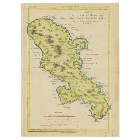
Antique Map of Martinique by Rigobert Bonne, Circa 1780
1780 · Rigobert Bonne
$360
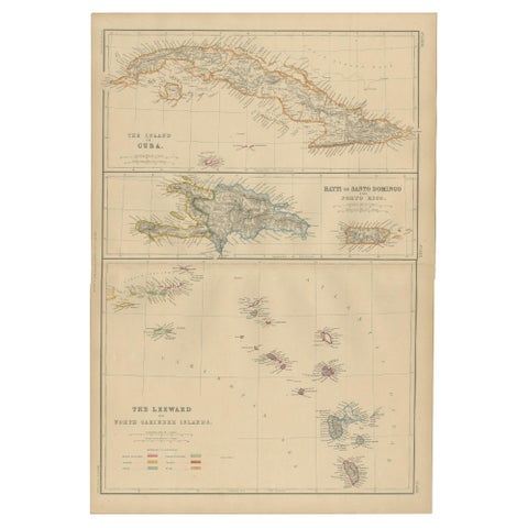
Cuba, Hayti, Santo Domingo and Leeward Islands, Antique Caribbean Map, 1859
1859
$325
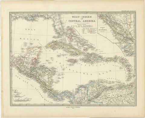
1880 Map of the Caribbean and Central America by Adolf Stieler
1880 · Stieler
$325
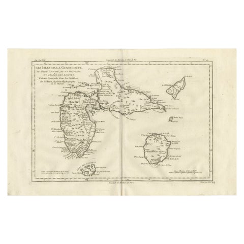
Antique Map Guadeloupe & Marie Galante, Rigobert Bonne Caribbean Chart c1780
circa 1780 · Rigobert Bonne
$325
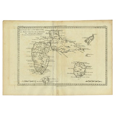
Antique Map of Guadeloupe with Les Saintes, Grand Bourg and La Désirade, c.1780
1780 · Jacques-Nicolas Bellin
$315
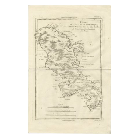
Antique Map Martinique Caribbean Island Chart, Rigobert Bonne French Map, c.1780
1780 · Rigobert Bonne
$315
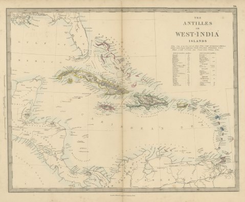
Antique Map of the Antilles or West India Islands with Island Areas, 1858
1858
$300
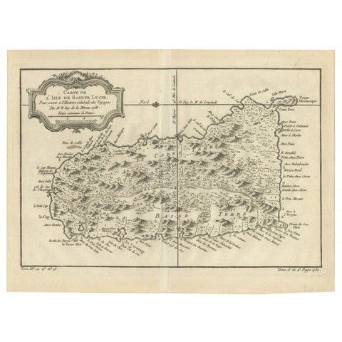
Original Engraved Map of Saint Lucia in the West Indies by Bellin, 1758
1758 · Jacques-Nicolas Bellin
$300
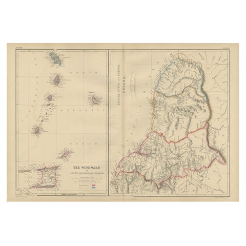
Antique Map the Windward or South Caribbean Islands and Guiana, 1859
1859
$290
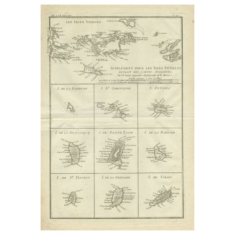
Original Antique Map of the Virgin Islands with Insets of Caribbean Isles, 1787
1787 · Jacques-Nicolas Bellin
$290
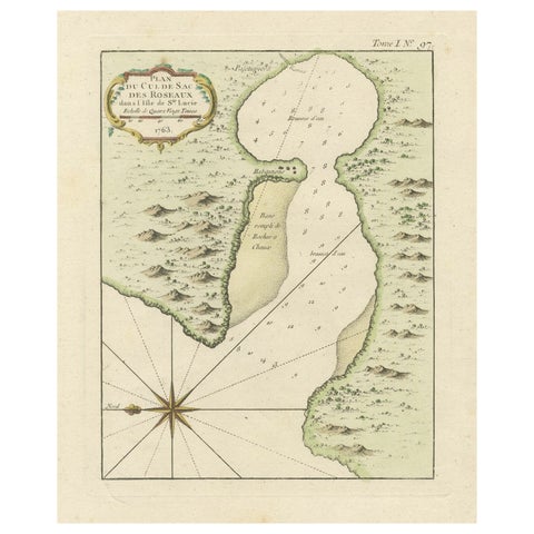
Roseaux, St. Lucia Island Map by Bellin, Handcolored Engraving, 1763
1763 · Jacques-Nicolas Bellin
$275
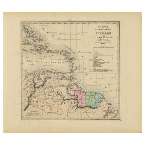
Authentique Map by Pilon of The French Colonies in The West Indies, 1876
1876
$270
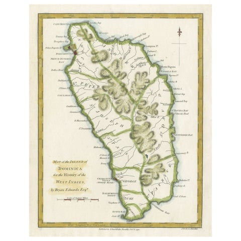
Original Antique Map of the Island of Dominica in the West Indies, 1794
1794
$270
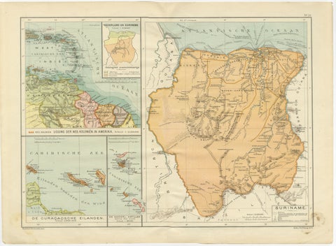
Suriname & the Dutch Antilles – Colonial Atlas Map by W.J. Thieme, c.1905
1905
$270
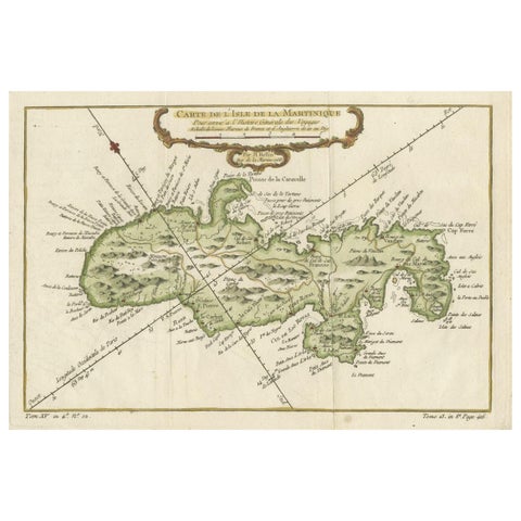
Martinique Island in the Caribbean by Bellin Original Original Antique Map, 1780
1780 · Jacques-Nicolas Bellin
$265
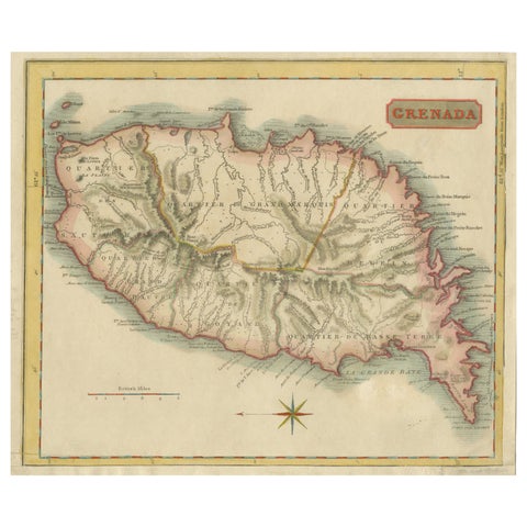
Copper Engraved Grenada Map by John Thompson Published in 1810
1810 · John Thomson
$255
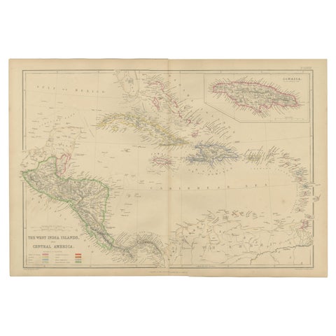
Antique Map of the West Indies and Central America by W. G. Blackie, 1859
1859
$235
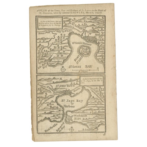
Antique Map of Fort Saint Louis and Santiago de Cuba, 1748
1748
$215
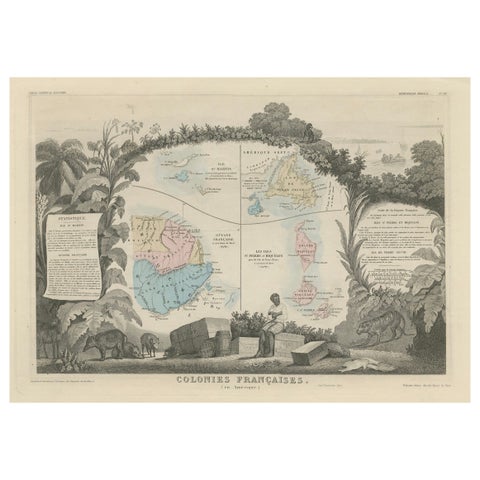
Map of French Colonies in the Americas: St. Martin, French Guiana and St. Pierre
$215
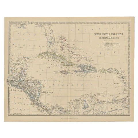
Antique Map of Central America and the West Indies, 1882
1882 · W. & A. K. Johnston
$200
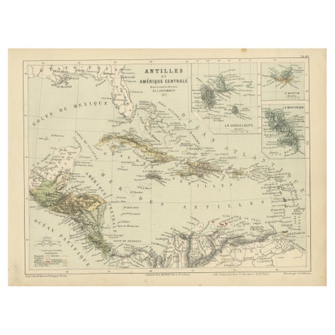
Antique Map of the Antilles and Central America – 1872
1872
$145
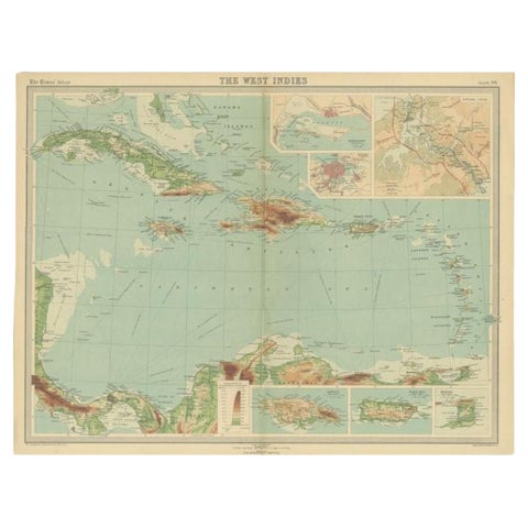
Antique Map of the West Indies in Full Color, 1922
1922
$140
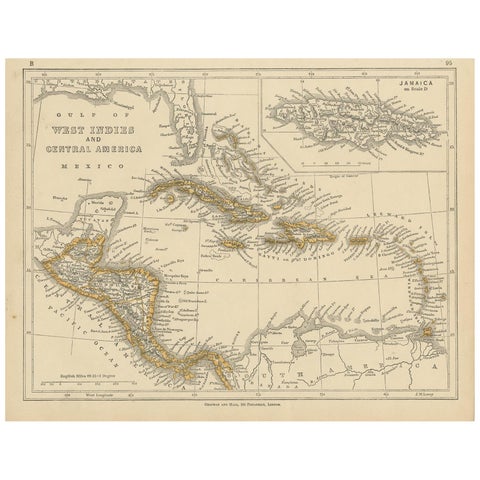
Antique Map of the West Indies and Central America by Lowry '1852'
1852
$110
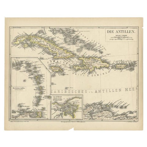
Antique Map of the Antilles by Meyer, 1878
1878 · Meyer
$100
← PreviousPage 3 of 3