Antique maps & prints of the Americas
The Early Republic
★ 76 original pieces ★
From independence to about 1840 American publishers such as Tanner, Carey and Mitchell began to map their own country, and the new states appear with their first county lines.
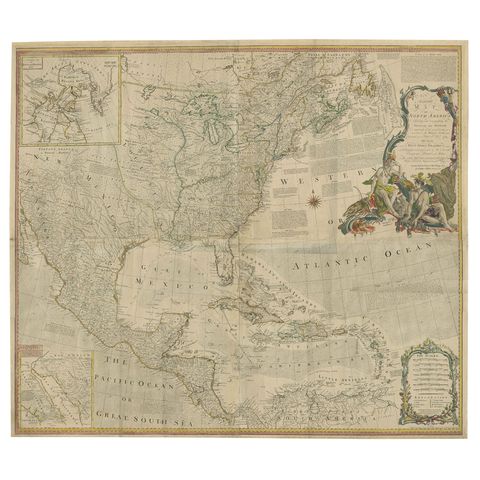
Rare Antique Wall-Map of North America: French and Indian War Boundaries, 1793
1793 · Emanuel Bowen
$7,275
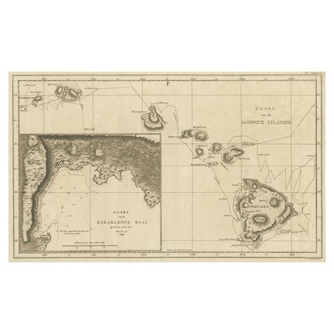
Map of the Hawaiian Islands with a Large Inset of Karakakooa Bay, 1803
1803
$2,520

Map of South America 1792 by Elwe – Hand-Colored Antique Dutch Engraving
1792 · Guillaume Delisle
$1,905
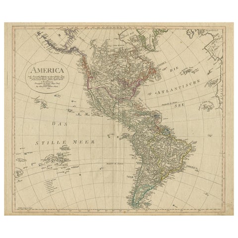
Antique Map of North and South America by Schneider and Weigel, 1818
1818 · Arrowsmith
$1,680
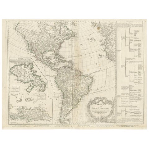
Antique Map of the Americas and West Indies by Robert de Vaugondy, 1778
1778 · Robert de Vaugondy
$1,680
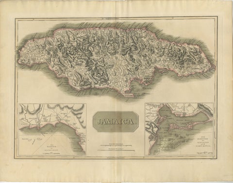
Jamaica Map by John Thomson, Kingston & Port Royal Harbors, c.1817
1817 · John Thomson
$1,090
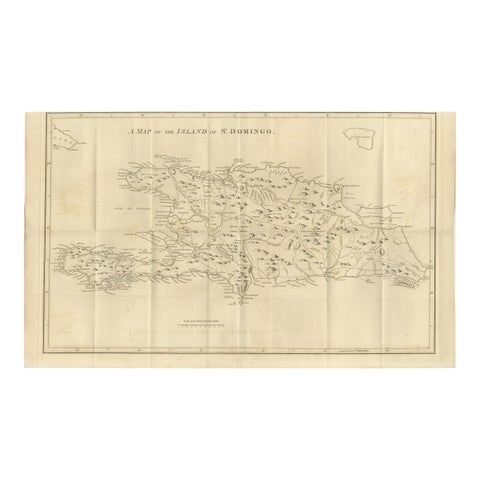
Saint Domingue Map 1793 – Colonial Haiti and Dominican Republic Plan
1793
$1,075
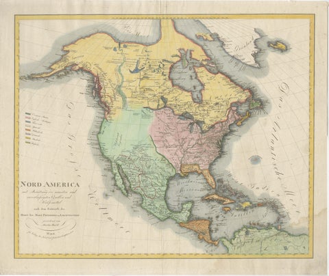
Large Antique Map of North America, United States & Canada, 1806
1806
$955
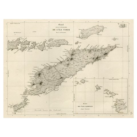
Rare Antique Map with Timor and Nearby Islands Plus an Inset of Hawaii, 1825
1825
$950
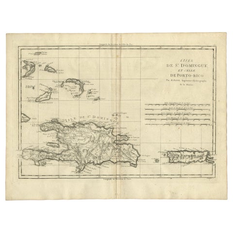
Detailed Antique Map of Santa Domingo, Puerto Rico, Eastern Bahamas, ca. 1780
1780 · Jacques-Nicolas Bellin
$785
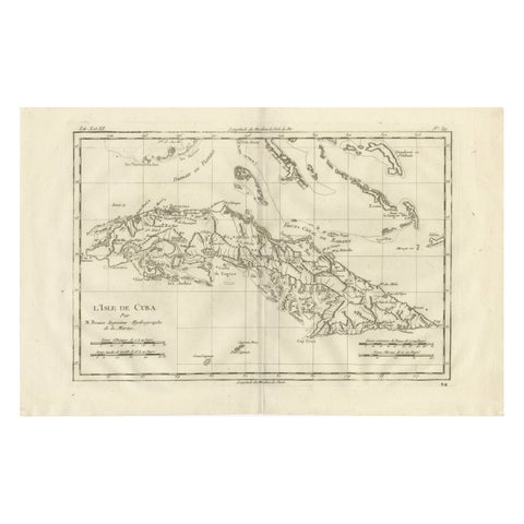
Cuba – Enlightenment Island Map by Rigobert Bonne, c.1780
1780 · Rigobert Bonne
$715
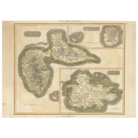
1821 Thomson Map of Guadeloupe, Marie-Galante and Antigua in the West Indies
1821 · John Thomson
$650
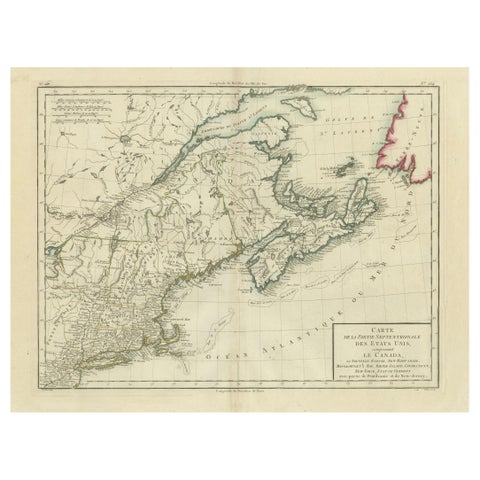
Antique Map of the Northeastern United States and Canada by Tardieu, 1802
1802
$625
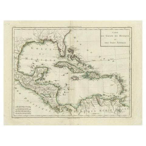
Antique Map of the Gulf of Mexico and Caribbean Islands by Tardieu, 1802
1802
$625
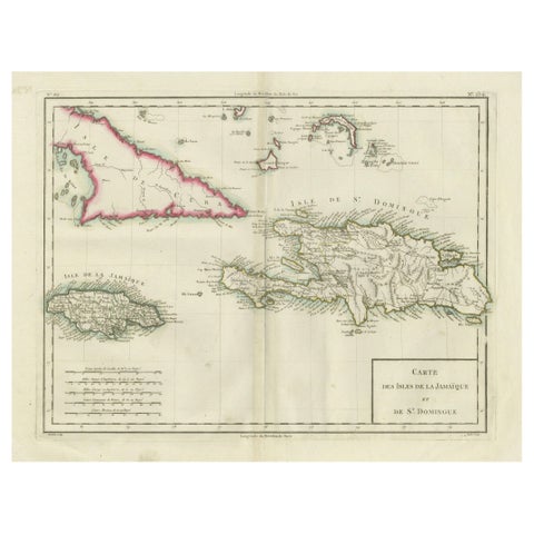
Antique Map of Jamaica and Hispaniola (Saint-Domingue and Santo Domingo), 1802
1802
$625
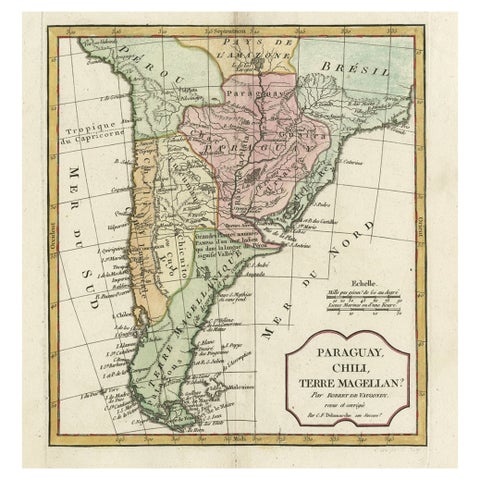
Decorative Antique Map of the Southern Part of South America, 1806
1806 · Robert de Vaugondy
$615
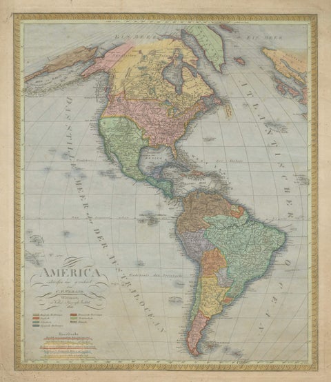
Large Antique Map of North & South America by Weiland, 1826
1826
$610
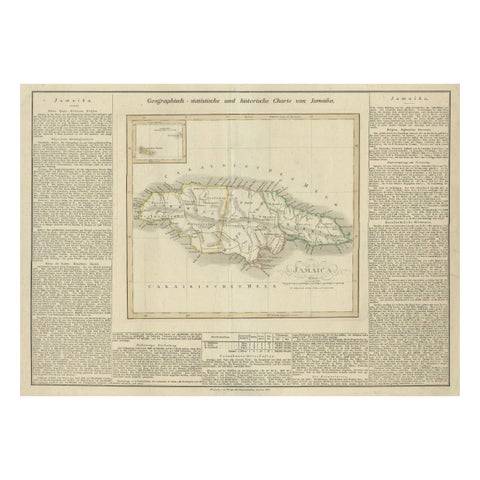
Detailed Antique Map of Jamaica - Published in Weimar, 1825
1825
$605
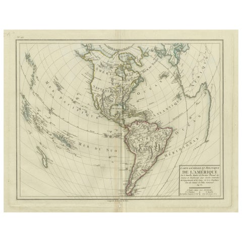
Antique Map of North and South America by Pierre Antoine Tardieu (1784-1869)
1784
$580
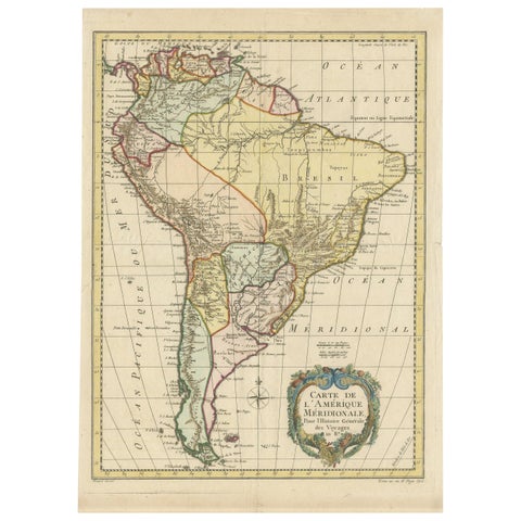
Antique Map of South America by De la Harpe '1780'
1780
$560
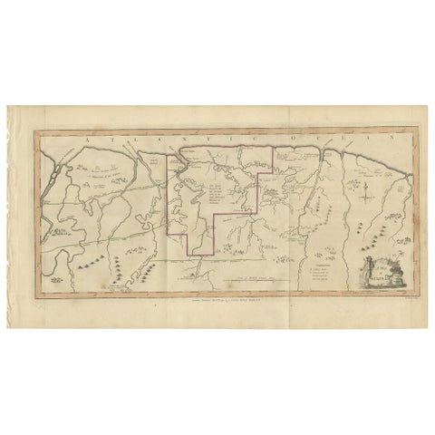
Antique Map of Surinam by Stedman '1813'
1813
$560
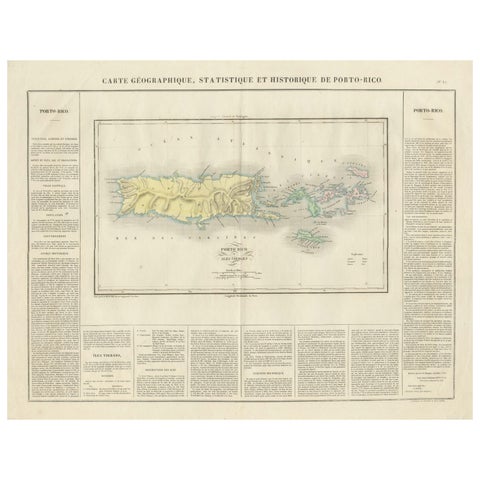
1825 Buchon Map of Puerto Rico & Virgin Islands with Detailed Colonial History
1825
$515
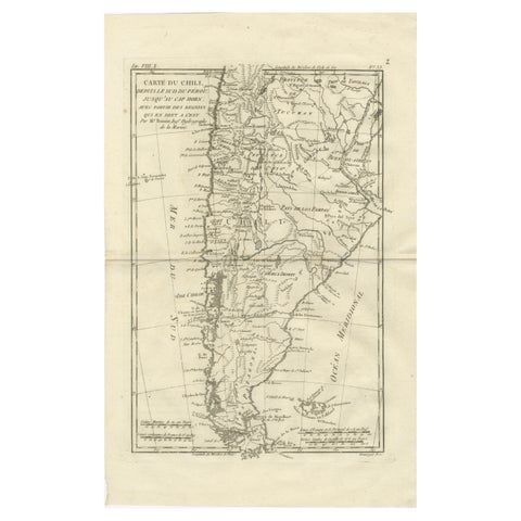
Chile from Peru to Cape Horn – Enlightenment Map by Rigobert Bonne, c.1780
1780 · Rigobert Bonne
$515
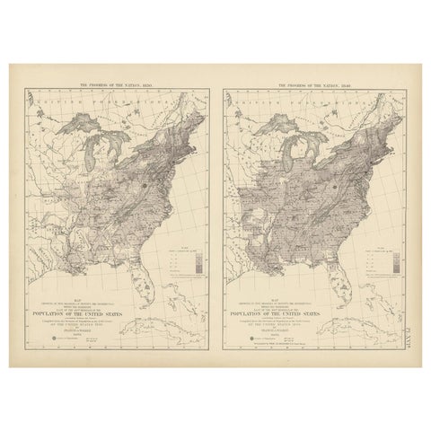
Pl. 16A Antique Chart of the US Population 1830-1840 by Walker, 1874
1830
$505
Page 1 of 4Next →
★
Other periods