Original antique maps & prints of
New York
★ 53 original pieces ★
From New Netherland and New Amsterdam to the Erie Canal and the Manhattan street grid, New York is the most frequently mapped state in our collection. We currently hold 53 original sheets of New York, published between 1642 and 1964. Of these, 15 are maps and 38 are views and prints. The earliest is Antique New England Map Blaeu c.1642 – Nova Belgica & Anglia, Ships.
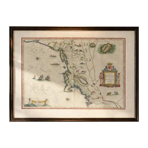
Antique New England Map Blaeu c.1642 – Nova Belgica & Anglia, Ships
1642 · Blaeu
$8,785
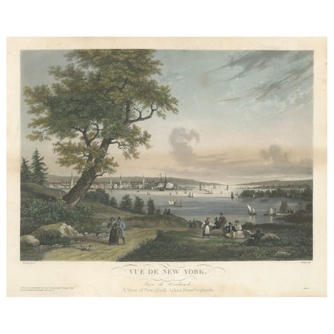
View of New York City from Weehawken, Rare Hand-Colored 1834 Aquatint Print
1834
$6,045
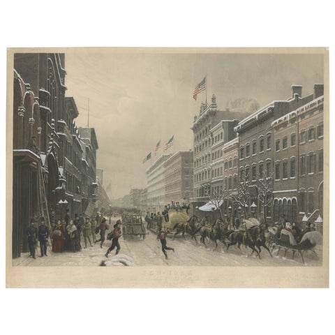
Stunning Winter Scene on Broadway, New York - Hand-Colored Aquatint from 1857
1857
$3,805
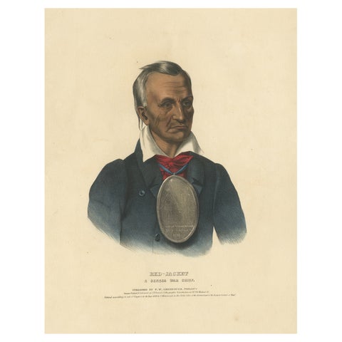
Large Antique Print of Red-Jacket, a Seneca War Chief, circa 1838
1838
$2,125
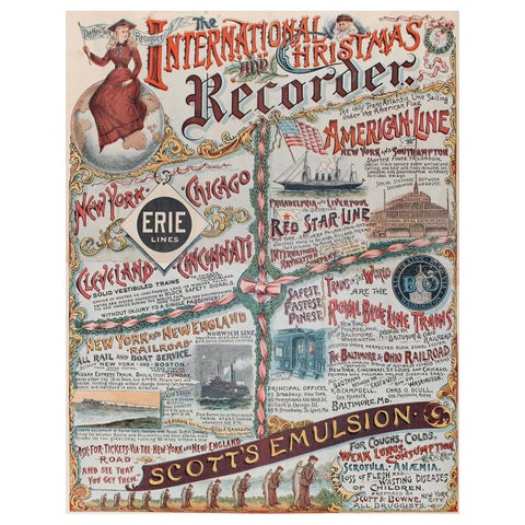
New York Recorder Poster, Christmas Edition, Original Vintage Lithograph, 1893
1893
$1,345
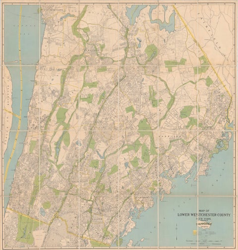
Large Decorative Map of Westchester County New York 1931 – Linen-Backed Wall Map
1931
$1,035
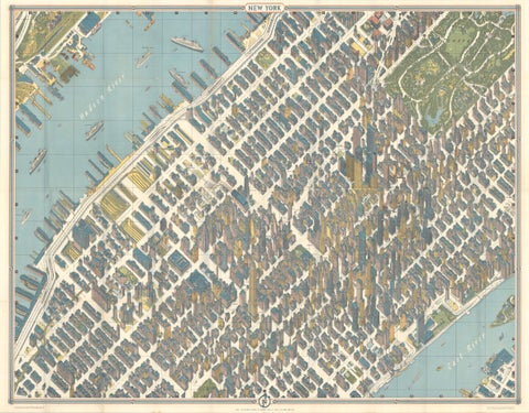
Hermann Bollmann New York City Bird’s-Eye Map for American Airlines, 1964
1964 · Hermann Bollmann
$1,000
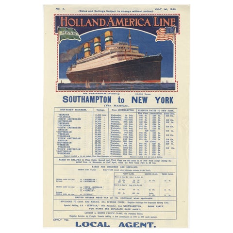
1925 Holland America Line: Southampton to New York Transatlantic Voyages
1925
$715
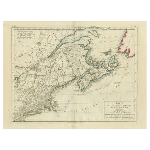
Antique Map of the Northeastern United States and Canada by Tardieu, 1802
1802
$625
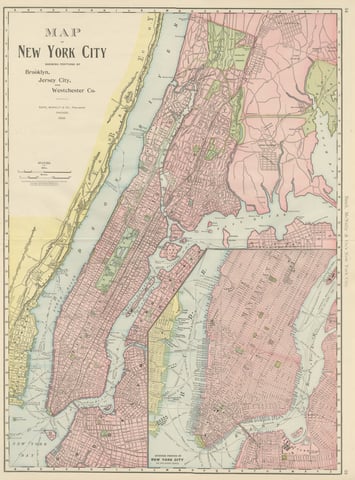
Antique Map of Manhattan, New York City, with Central Park, Rand McNally, 1899
1899 · Rand McNally
$555
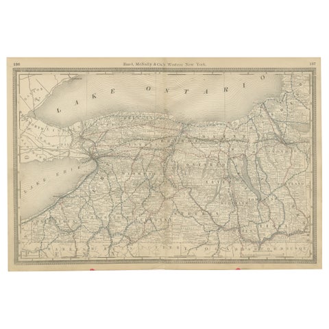
Western New York Antique Map – The Empire State, Railroads & Counties, c.1888
1888 · Rand McNally
$515
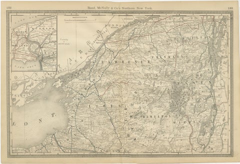
Antique Map of Northern New York – Rand McNally, circa 1888
1888 · Rand McNally
$515
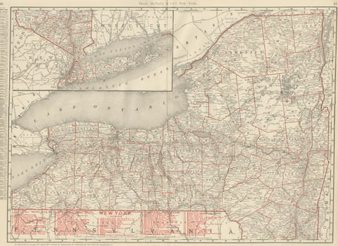
Antique Map of New York State, The Empire State, Rand McNally, 1899
1899 · Rand McNally
$500
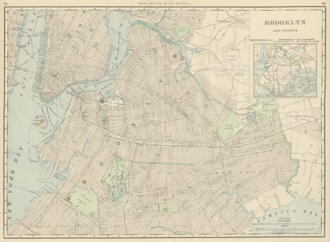
Antique Map of Brooklyn, New York, with Prospect Park, Rand McNally, 1899
1899 · Rand McNally
$440
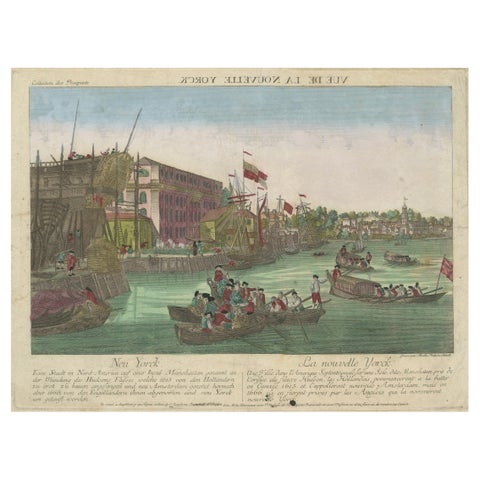
Optical View of New York City Manhattan Harbor Hand-Colored Augsburg - ca.1775
1775
$440
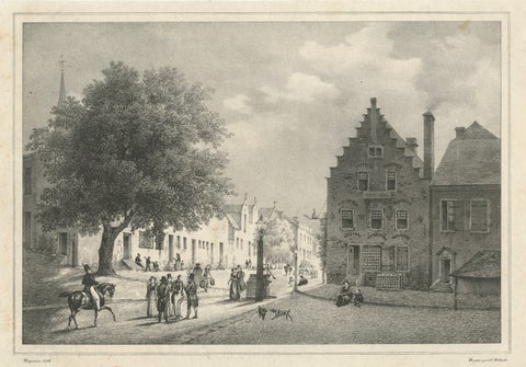
Albany, New York Street View, Original Lithograph after Tirpenne, c. 1840
1840
$425
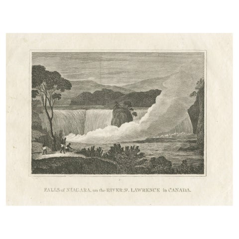
Falls of Niagara, River St. Lawrence, Canada – Engraving Published in 1816
1816
$380
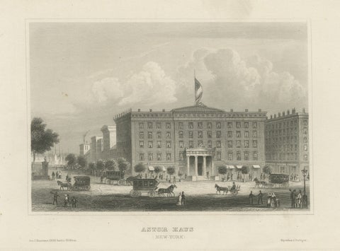
Astor House New York – Antique Broadway Hotel Steel Engraving 1850s
Meyer
$375
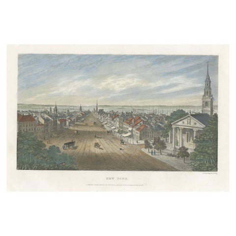
A Glimpse into the Early 19th Century Urban Landscape of New York, a 1842 Print
1842
$370
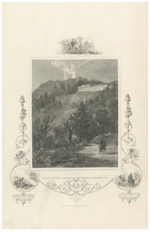
Catskill Mountain House - Antique Engraving, New York View c1830
circa 1830
$370
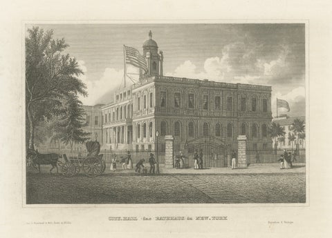
New York City Hall – Antique Architectural Engraving of Manhattan, c.1850
1850
$370
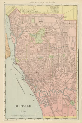
Antique Map of Buffalo, New York, on Lake Erie, Rand McNally, 1899
1899 · Rand McNally
$330
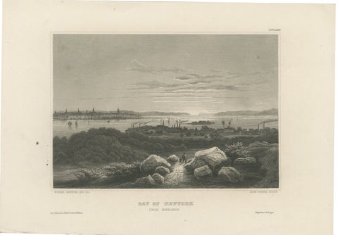
Bay of New York from Hoboken – Antique New York Harbor Engraving, c.1850
1850
$325
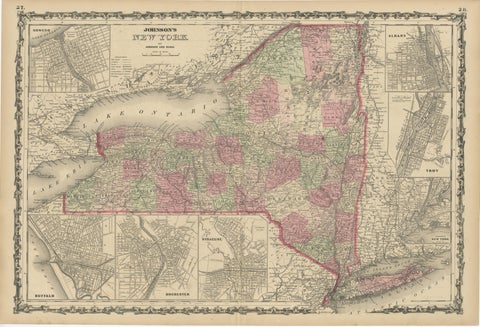
1864 Johnson's Map of New York State with City Insets
1864
$315
Page 1 of 3Next →
★
More of Mid-Atlantic