Original antique maps & prints of
New York
★ 53 original pieces ★
From New Netherland and New Amsterdam to the Erie Canal and the Manhattan street grid, New York is the most frequently mapped state in our collection. We currently hold 53 original sheets of New York, published between 1642 and 1964. Of these, 15 are maps and 38 are views and prints. The earliest is Antique New England Map Blaeu c.1642 – Nova Belgica & Anglia, Ships.
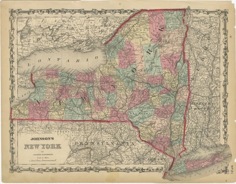
1862 Johnson's Map of New York State by Johnson & Browning
1862 · A. J. Johnson
$315
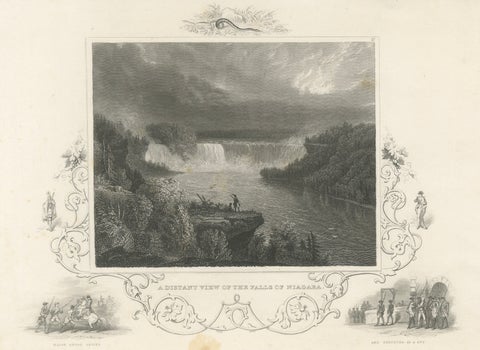
Niagara Falls Antique Engraving, Thomas Cole Landscape, 1831
1831
$310
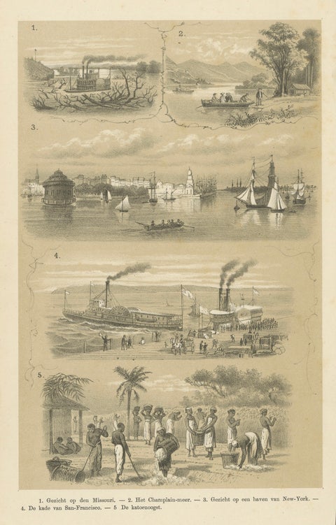
Missouri, Lake Champlain, New York, San Francisco & Cotton Harvest, 1879
1879
$310
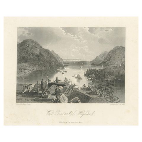
West Point and the Highlands, Hudson River Military View – 1869 Engraving
1869
$300
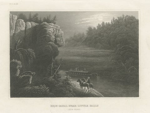
Erie Canal Near Little Falls, New York – Antique American Landscape Print, 1850
1850
$300
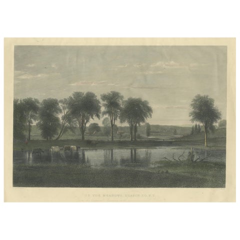
On the Meadows, Orange County, New York – Whittredge, American Landscape c1869
1869
$290
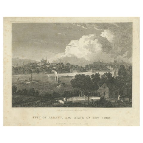
City of Albany, New York, Hudson River View – Antique Engraving, 1827
1827
$290
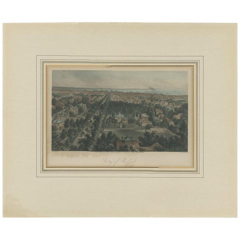
Antique Print of the City of Buffalo by Appleton, 1872
1872
$280
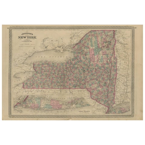
Antique Map of New York by Johnson '1872'
1872 · A. J. Johnson
$280
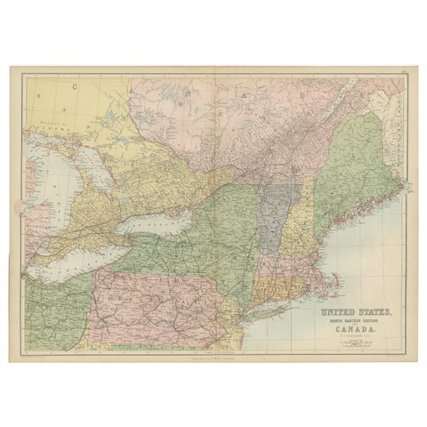
Antique Map of The United States and Canada by A & C. Black, 1870
1870 · Adam & Charles Black
$280
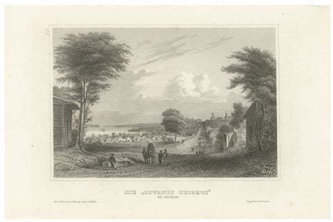
Antique View of Gowanus Heights Brooklyn New York, Meyer ca. 1850
1850
$270
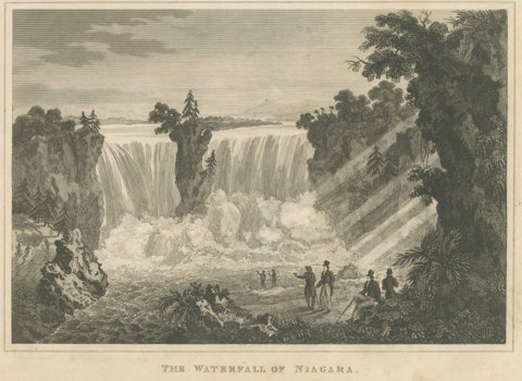
The Waterfall of Niagara, Engraving Published by Thomas Kelly, circa 1830
circa 1830
$255
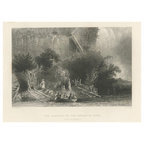
The Landing on the American Side, Niagara Falls – Antique Engraving, ca.1850
1850
$255
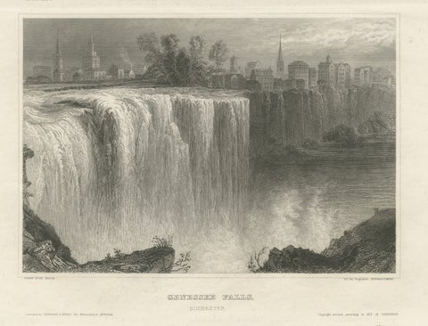
Genesee Falls, Rochester – Antique Waterfall Engraving, New York State, ca.1850
1850
$255
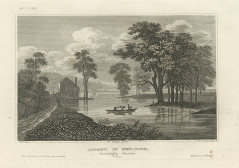
Albany New York Hudson River View – Antique Steel Engraving 19th Century
Meyer
$255
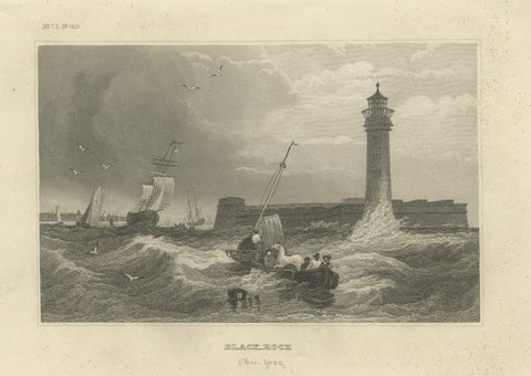
Black Rock New York Harbor Lighthouse – Antique Steel Engraving c.1850
1850 · Meyer
$255
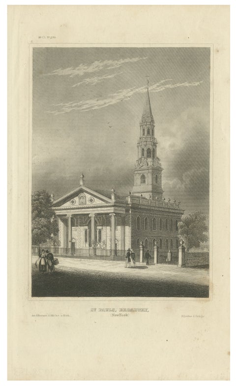
St Paul’s Broadway New York - Antique Engraving Church View, ca.1850
1850
$255
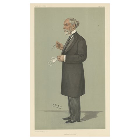
Chromolithograph Vanity Fair Caricature Print 'New York Tribune'
1902
$245

Chromolithograph Vanity Fair Caricature Print 'New York Herald'
1884
$245
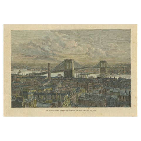
The Brooklyn Bridge Over the East River, Between Long Island and New York, 1883
1883
$245
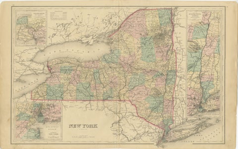
1876 Antique Map of New York State with Niagara and Hudson River Insets
1876 · S. Augustus Mitchell
$245
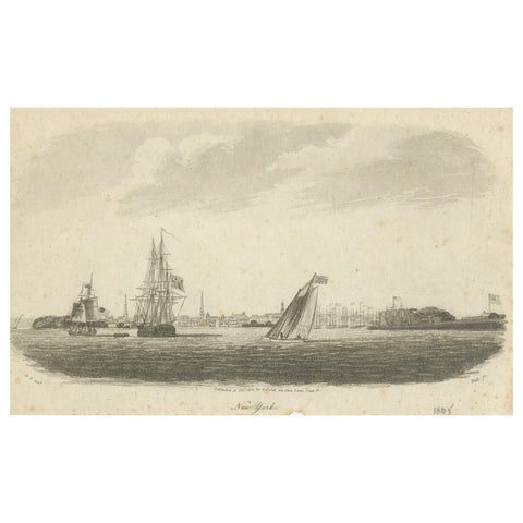
New York Harbor Panorama, sailing ships & city skyline, British engraving, 18050
1805
$245
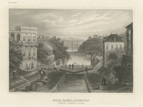
Erie Canal Lockport New York – Antique Canal Engineering Steel Engraving, 1854
1854 · Meyer
$235
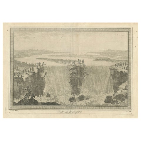
Niagara Falls, Cataracte de Niagara – Early French Engraved View, c.1780
1780
$225
★
More of Mid-Atlantic