Continent maps &
General Americana
★ 48 original pieces ★
Maps of the whole of North America, the New World and the Americas, together with American subjects that belong to no single state: birds and natural history, portraits, and the life of the young republic.
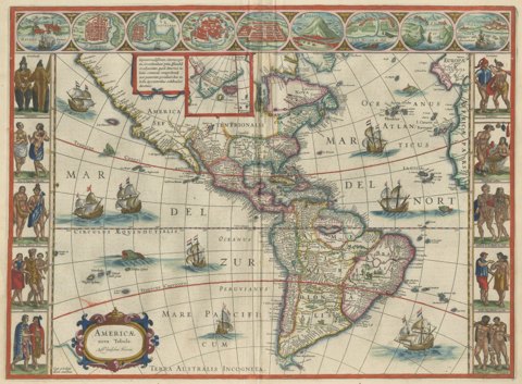
Antique Blaeu Map of America, Terra Australis Incognita, 1642
1642 · Blaeu
$10,635
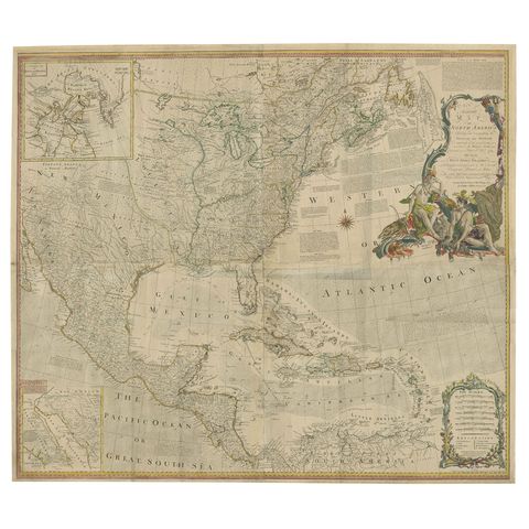
Rare Antique Wall-Map of North America: French and Indian War Boundaries, 1793
1793 · Emanuel Bowen
$7,275
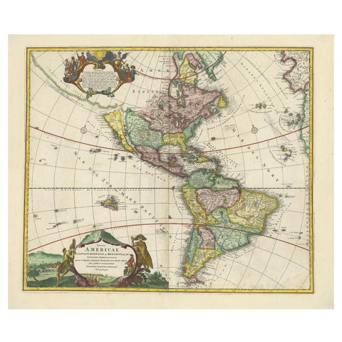
Antique Map of America with California as an Island by Homann '1710'
1710 · Homann Heirs
$2,800
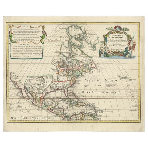
Scarce Latin Edition of Guillaume Delisle's 1700 Map of North America
1700 · Guillaume Delisle
$2,185
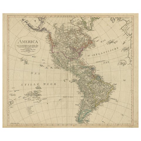
Antique Map of North and South America by Schneider and Weigel, 1818
1818 · Arrowsmith
$1,680
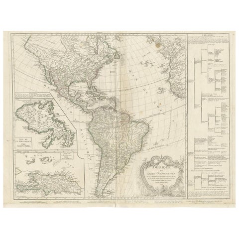
Antique Map of the Americas and West Indies by Robert de Vaugondy, 1778
1778 · Robert de Vaugondy
$1,680
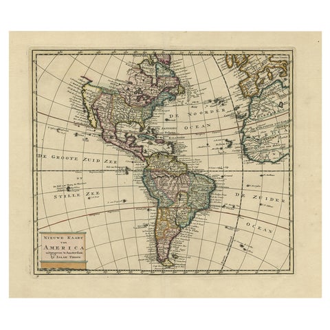
Antique Hand-Colored Map of North and South America, ca.1765
1765 · Guillaume Delisle
$1,400
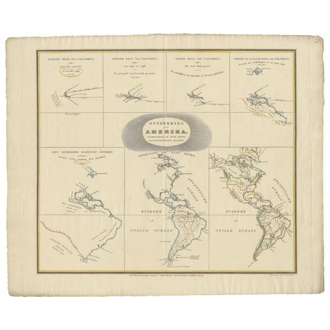
Interesting Antique Map of the Development of the Mapping of the America's, 1841
1841
$1,400
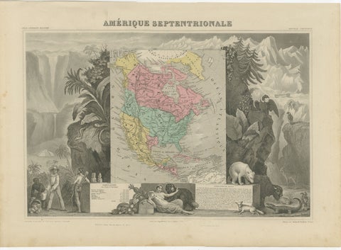
Antique Map North America, Texas Republic, Decorative Levasseur Atlas, c.1845
1845
$1,400
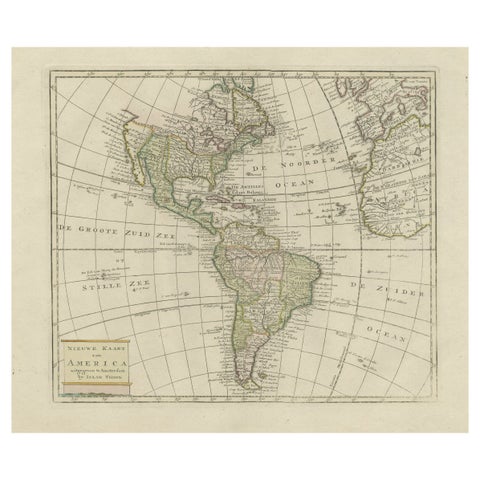
Original Antique Map of North and South America in Attractive Old Coloring
circa 1750
$1,110
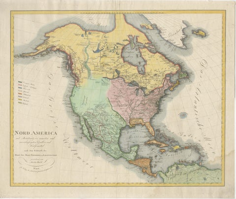
Large Antique Map of North America, United States & Canada, 1806
1806
$955
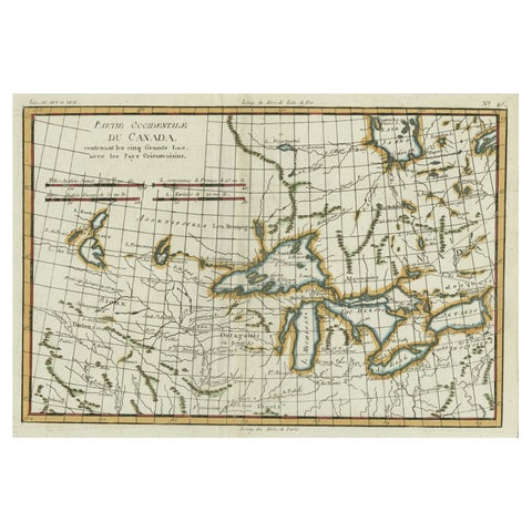
Old Map of the Great Lakes and Upper Mississippi Valley, Northern America, c1780
circa 1780 · Rigobert Bonne
$925
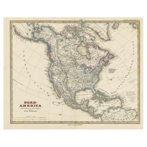
Antique Map with Hand Coloring of North America and the West Indies
1879 · Stieler
$695
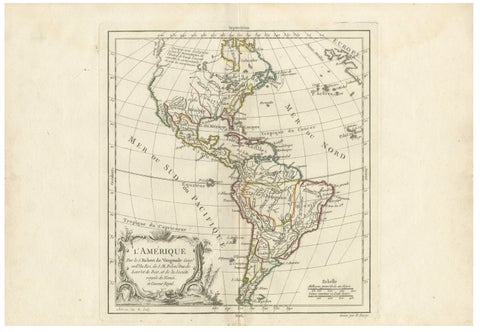
Map of the Americas by Robert de Vaugondy, Original Hand-Colored Map, 1757
1757 · Robert de Vaugondy
$665
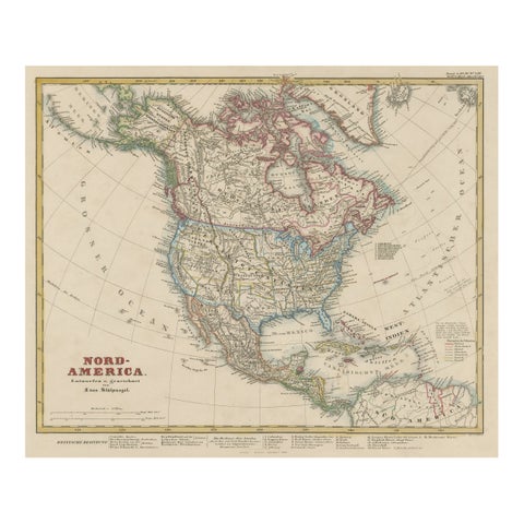
Antique Map of North America Including the West Indies
circa 1859 · Stieler
$650
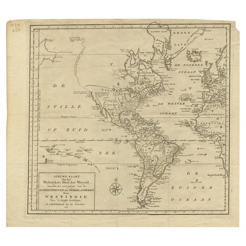
Excellent Antique Map of America with Unusual Northwest Coast of America, c.1754
1754
$645
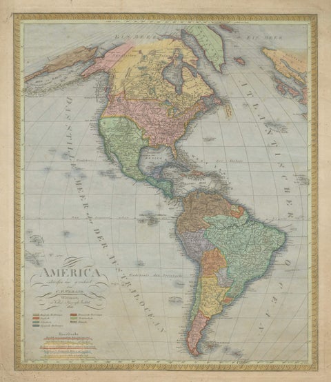
Large Antique Map of North & South America by Weiland, 1826
1826
$610
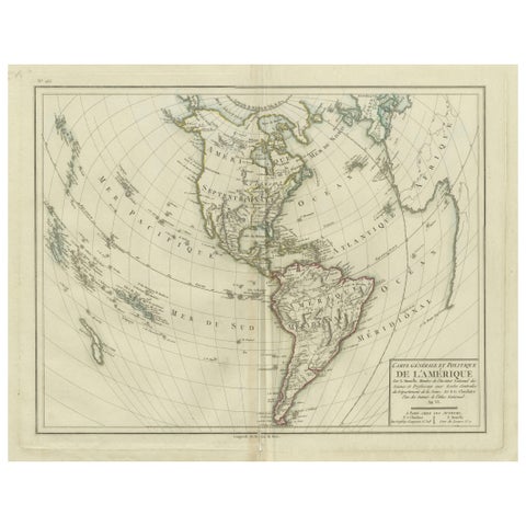
Antique Map of North and South America by Pierre Antoine Tardieu (1784-1869)
1784
$580
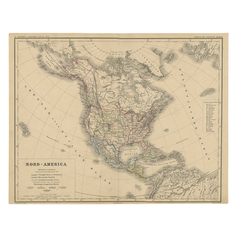
Old Original Antique German Map of North America, ca.1870
1870
$550
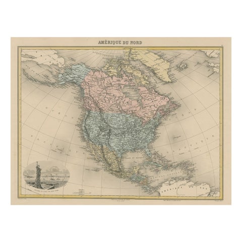
Antique Map of North America with Vignette of the Statue of Liberty, New York
circa 1875
$515
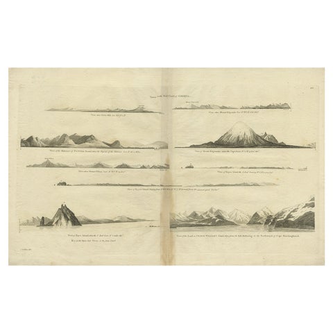
Antique Map of the West Coast of America with Island Views, ca.1784
1784 · Captain Cook voyages
$505
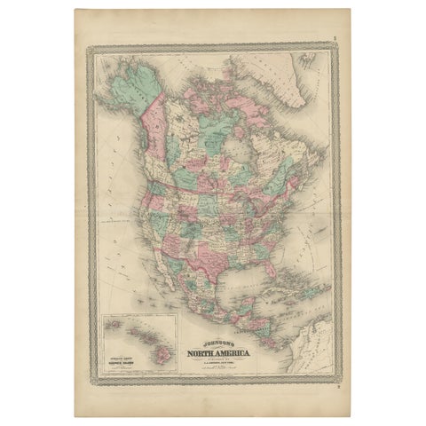
Antique Map of North America by Johnson, '1872'
1872 · A. J. Johnson
$450
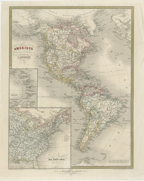
French Map of the Americas by Cortambert – North & South America 1864
1864
$445
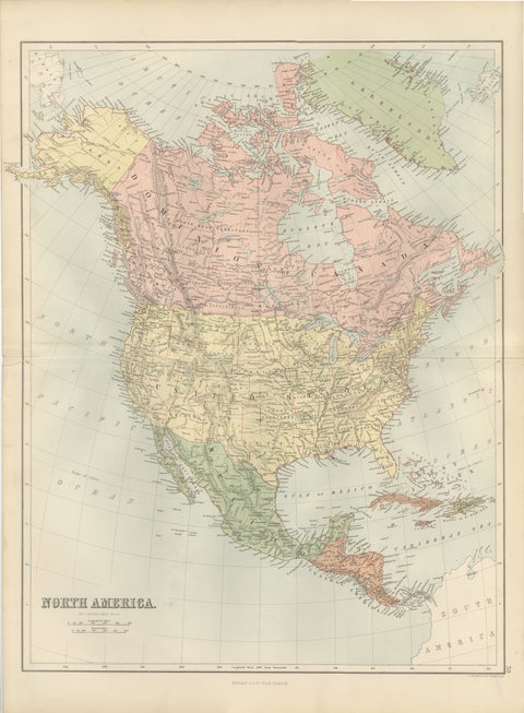
Antique North America Map, Canada, USA, Mexico, Bartholomew, 1884
1884 · Adam & Charles Black
$440
Page 1 of 2Next →