Antique maps & prints of the Americas
Colonial America
★ 87 original pieces ★
Before independence the continent was drawn mostly in Amsterdam, Paris and London. Maps from this period show coasts better than interiors, rival colonial claims, and occasionally California as an island.
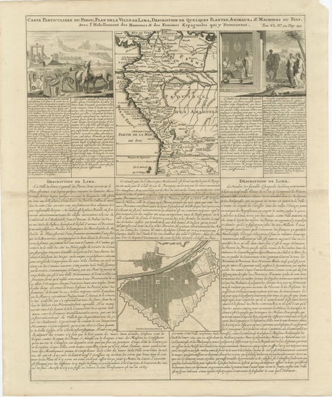
Original Antique Map of Peru and Plan of Lima by Henri Abraham Chatelain, 1719
1719 · Chatelain
$545
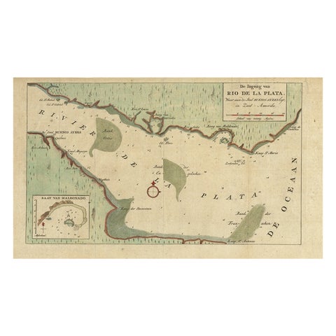
Rare Antique Map of the Rio De La Plata, Buenos Ayres, Brazil, ca.1760
1760 · Guillaume Delisle
$530
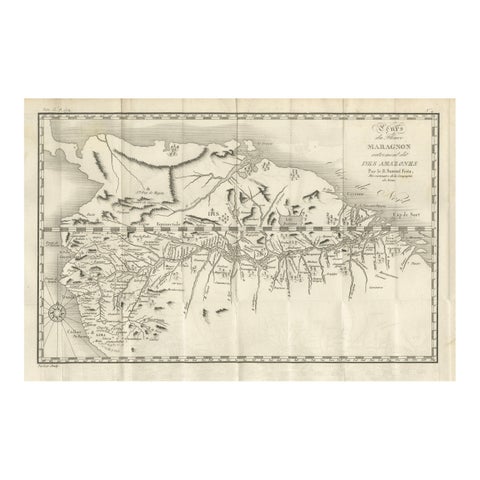
Antique Map of the Amazon River – Maragnon or River of the Amazons, c.1760
1760
$515
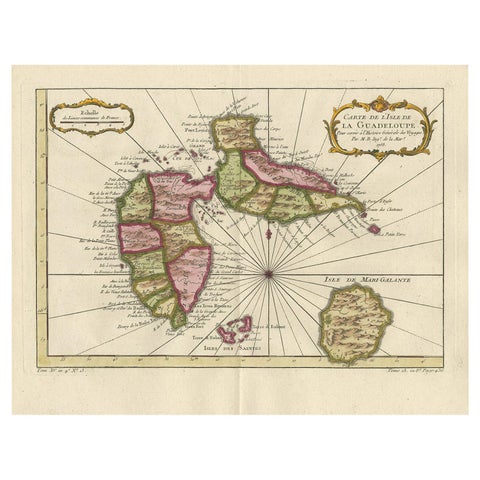
Antique Map of Guadelupe in the Caribbean, 1759
1759 · Jacques-Nicolas Bellin
$505
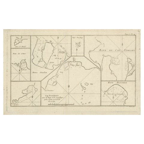
Antique Map of Cape Providence & St. David’s Cove – Strait of Magellan, 1774
1774
$490
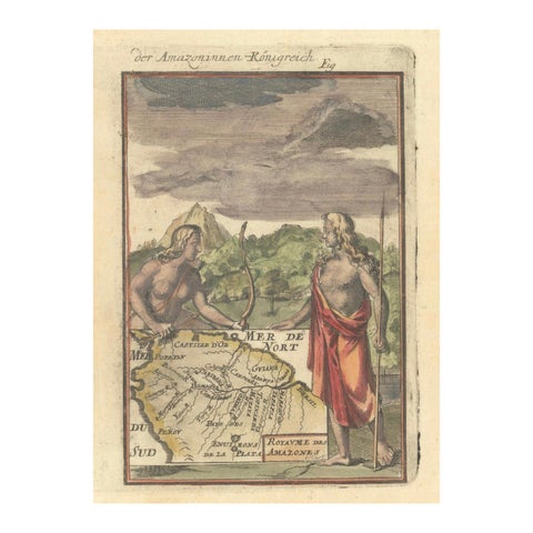
1684 Mallet Map of Amazon River & Kingdom of Amazons – Hand Colored, Miniature
1684
$490
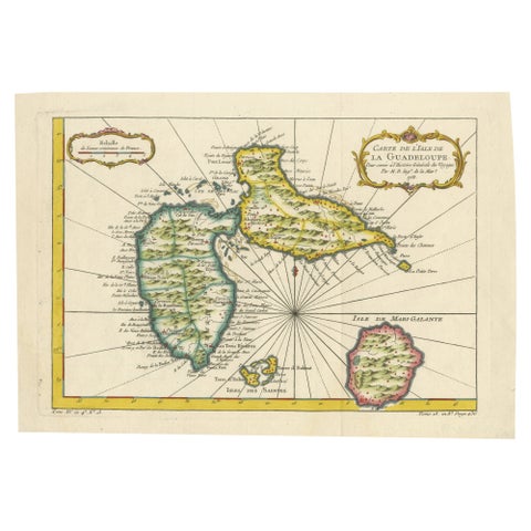
1758 Bellin Map of Guadeloupe and Marie-Galante – Caribbean Islands
1758 · Jacques-Nicolas Bellin
$490
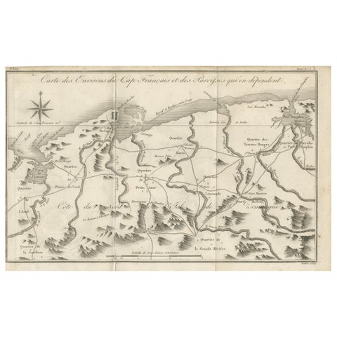
Antique Map of the Environs of Cap-Français, Saint-Domingue, c.1760
1760
$490
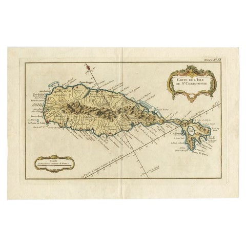
Old Map of the island of Saint Christopher or St. Kitts in the Caribbean, c.1765
1765 · Guillaume Delisle
$480
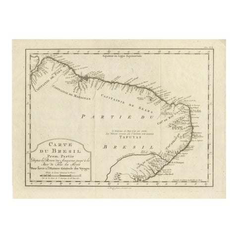
Brazil Coastline Map – Broenner Carte du Bresil, 1772 Captaincies
1772
$455
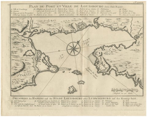
Plan of Louisbourg Harbor and Fortress, Cape Breton Island, c.1756
1756 · Jacques-Nicolas Bellin
$440
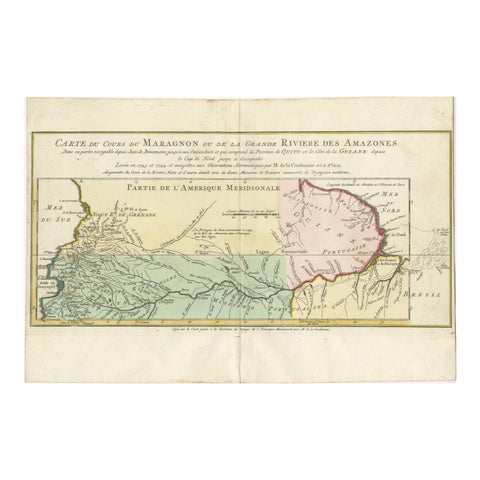
Map of the Amazon River's Course and Surrounding Regions (1743-1744)
1743
$435
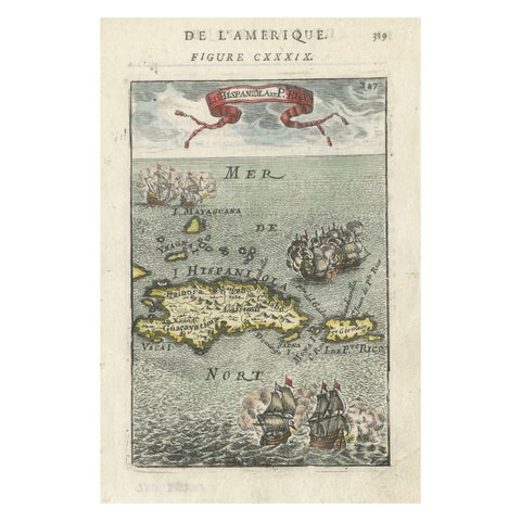
Antique 1683 Map of Hispaniola and Puerto Rico in the Caribbean by Mallet
1683
$425
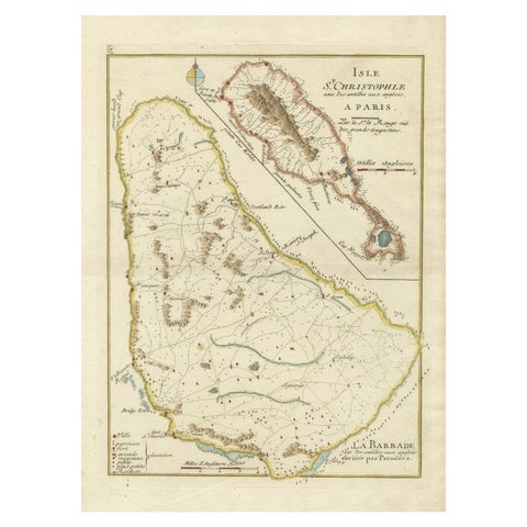
Barados and St Christopher or St Kitts and Nevis Islands in the Caribbean, 1748
1748
$405
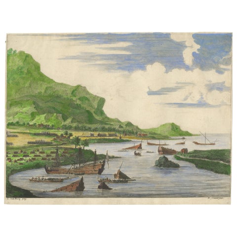
Cortés Scuttling Ships at Veracruz – Hand-Colored Engraving by Van Beecq, c.1690
1690
$405
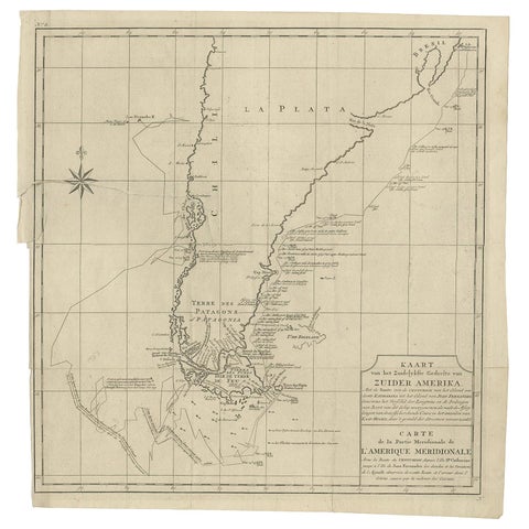
Antique Map of South America by G. Anson, 1749
1749
$390
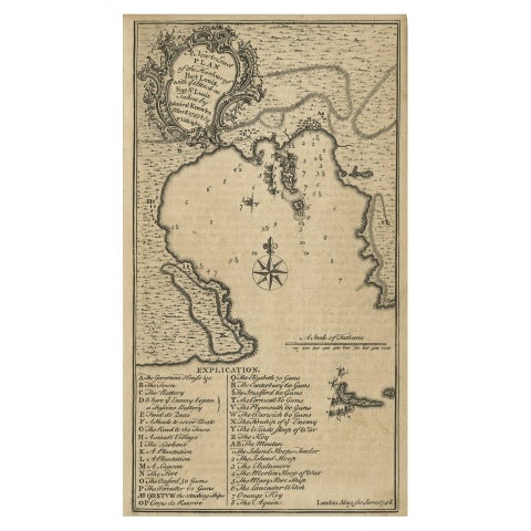
Rare Map of St. Louis on the Island of Hispaniola 'Santa Domingo', 1748
1748
$390
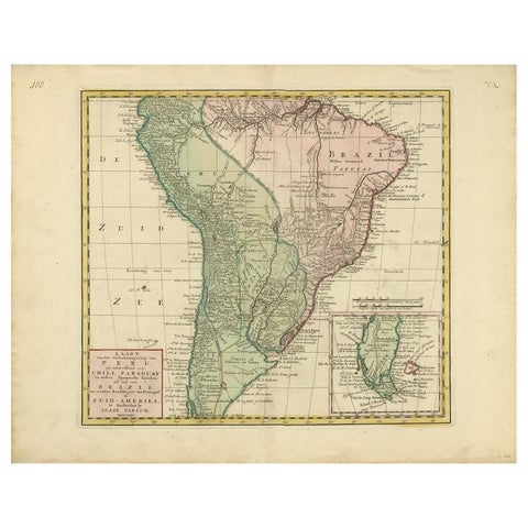
Antique Map of South America by Tirion, c.1765
1765 · Thomas Kitchin
$390
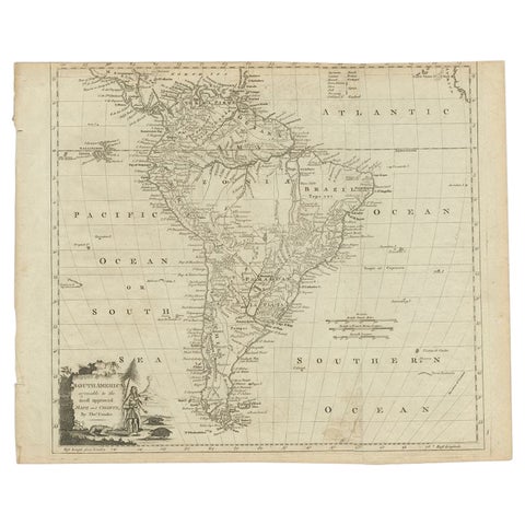
Antique Map of South America by Conder, c.1775
1775
$390
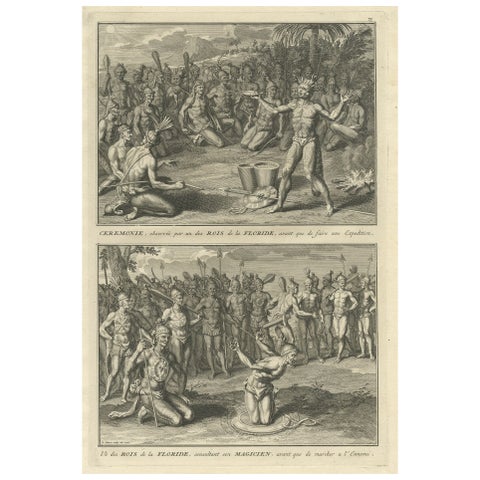
Two Engravings of an Florida King of the Indians in America, 1722
1722
$380
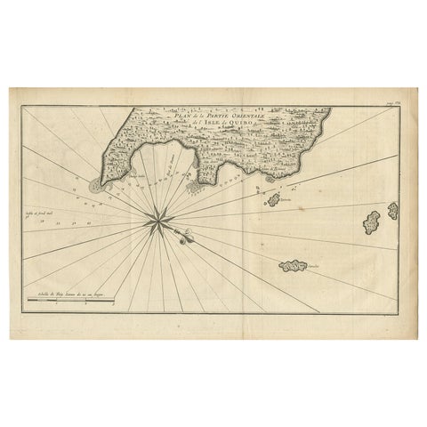
Antique Map of Coiba Island, Panama, South America, C.1740
1740 · Guillaume Delisle
$380
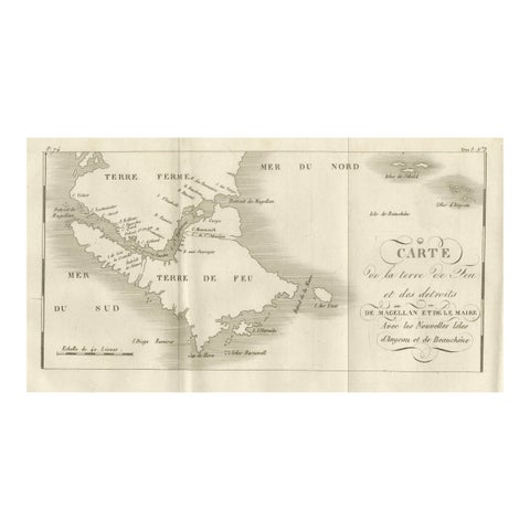
Map of Tierra del Fuego and the Straits of Magellan and Le Maire, c.1760
1760
$380
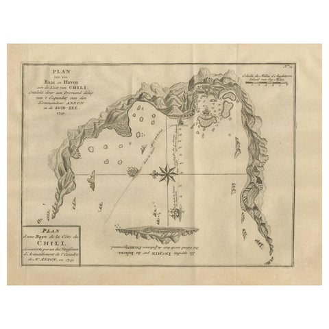
Antique Map of a Bay on the Coast of Chile, South America, c.1749
1749
$360
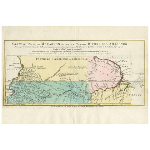
Antique Map of the Course of the Amazon River by E. Van Harrevelt, 1773
1773
$355
★
Other periods