Search
★ 638 original pieces ★
Type a place, a mapmaker or a year in the search box above.
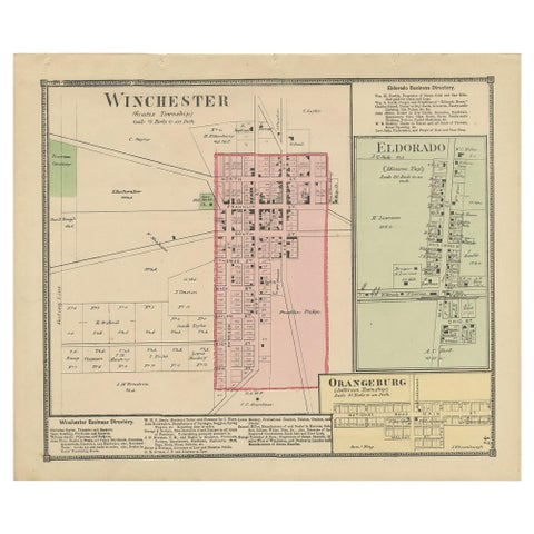
Antique Map of Winchester, Eldorado & Orangeburg, 1871
1871
$280
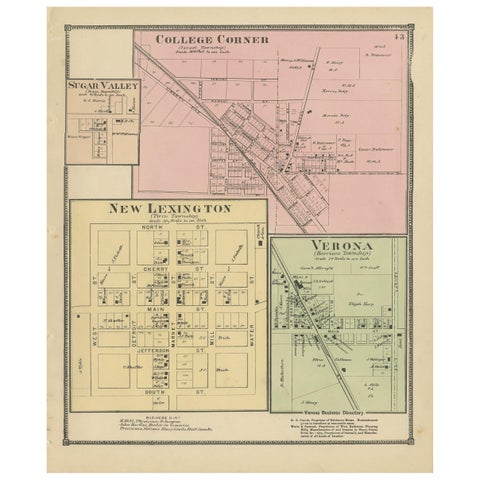
Antique Map of College Corner, Sugar Valley, New Lexington & Verona '1871'
1871
$280
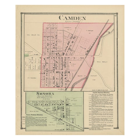
Antique Map of Camden and Sonora, 1871
1871
$280
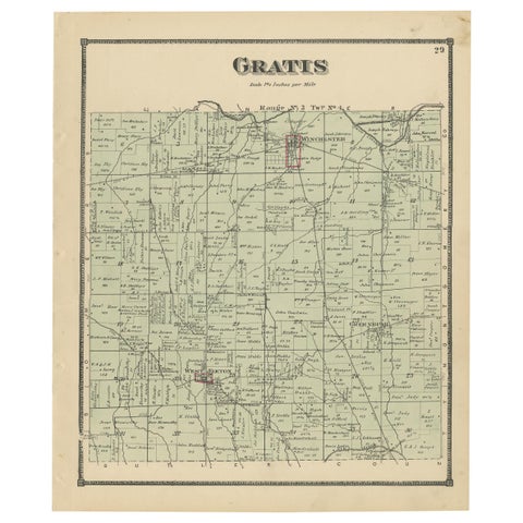
Antique Map of Gratis 'Ohio' by Titus '1871'
1871
$280
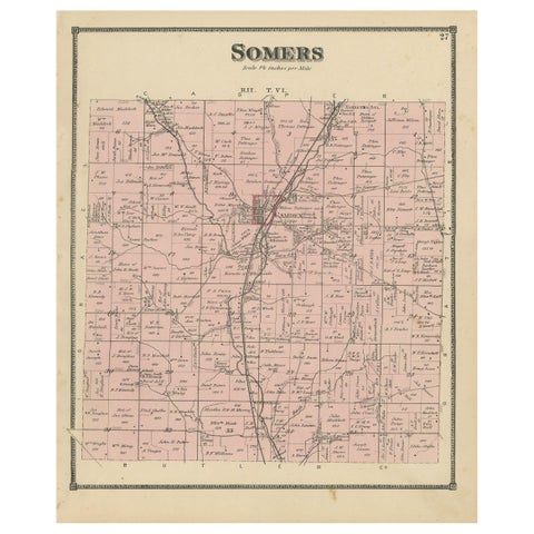
Antique Map of the Somers Township of Ohio by Titus, 1871
1871
$280
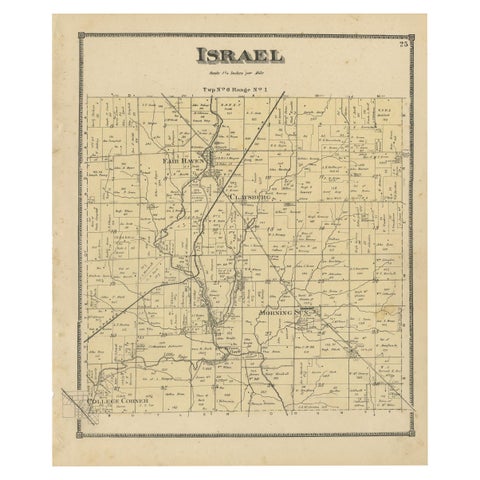
Antique Map of the Israel Township of Ohio by Titus '1871'
1871
$280
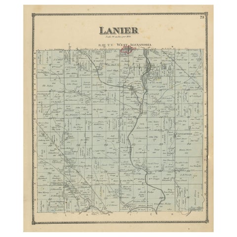
Antique Map of the Lanier Township of Ohio by Titus, 1871
1871
$280
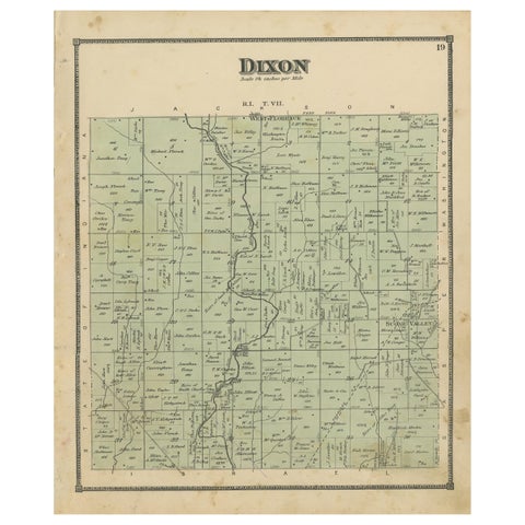
Antique Map of the Dixon Township of Ohio by Titus, 1871
1871
$280
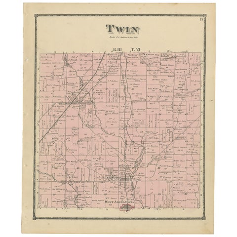
Antique Map of the Twin Township of Ohio by Titus '1871'
1871
$280
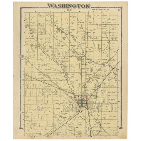
Antique Map of Washington County 'Ohio' by Titus, 1871
1871
$280
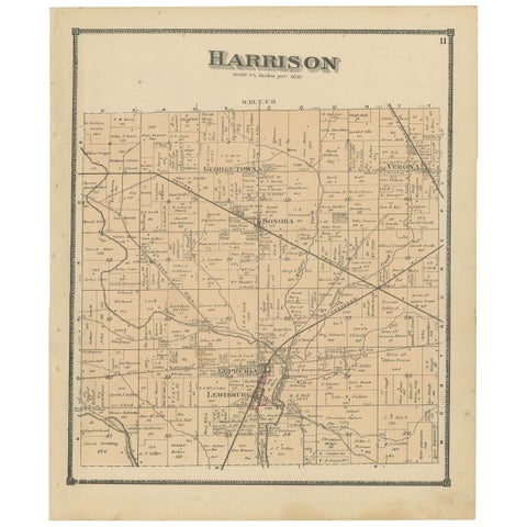
Antique Map of Harrison County 'Ohio' by Titus, 1871
1871
$280
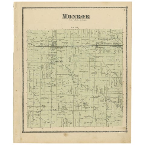
Antique Map of Monroe County 'Ohio' by Titus '1871'
1871
$280
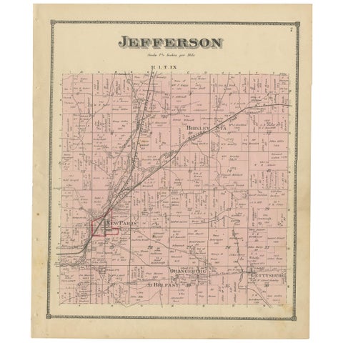
Antique Map of Jefferson County 'Ohio' by Titus, 1871
1871
$280
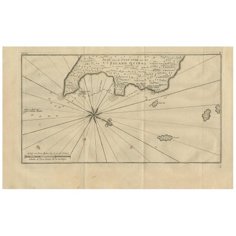
Antique Map of Coiba Island by Anson '1749'
1749
$280
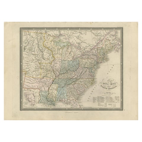
Antique Map of the United States of North America by Wyld '1845'
1845
$280
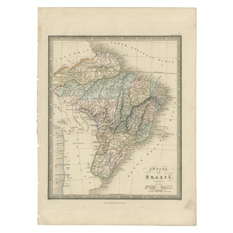
Antique Map of Brazil by Wyld, '1845'
1845
$280
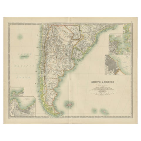
Antique Map of South America by Johnston '1909'
1909 · W. & A. K. Johnston
$280
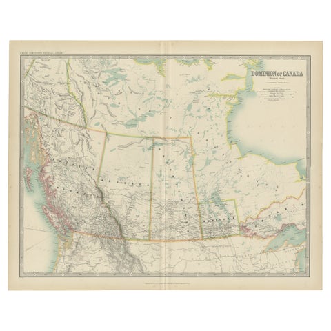
Antique Map of Canada by Johnston '1909'
1909 · W. & A. K. Johnston
$280
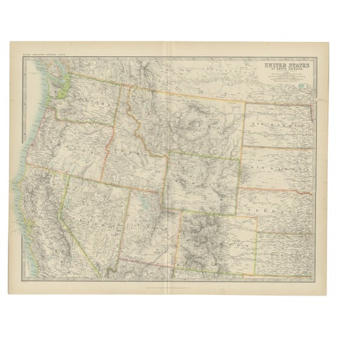
Antique Map of the United States 'North West' by Johnston, '1909'
1909 · W. & A. K. Johnston
$280
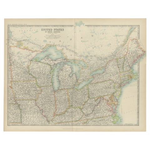
Antique Map of the United States ' North East ' by Johnston '1909'
1909 · W. & A. K. Johnston
$280
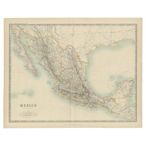
Antique Map of Mexico by Johnston, '1909'
1909 · W. & A. K. Johnston
$280
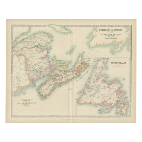
Antique Map of Canada by Johnston '1909'
1909 · W. & A. K. Johnston
$280
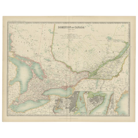
Antique Map of Canada by Johnston '1909'
1909 · W. & A. K. Johnston
$280
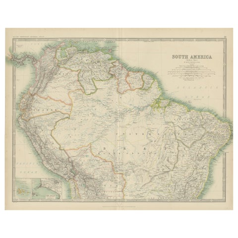
Exploring South America's North: Antique Map from the Royal Atlas of 1909
1909 · W. & A. K. Johnston
$280