Black Friday Sale now on: up to 30% off until Monday 30 November →
Orders placed from 15 to 30 November ship from 1 December, in time for Christmas. Our shipping partner: InXpress.

A Bartele Gallery CollectionLangweer · Jakarta

American Maps & Prints
Original antique maps, charts & prints of the Americas ★ Originals only


americanmapsandprints.com

✦

Black Friday Sale now on

Up to 30% off original antique maps and prints, until Monday 30 November

Follow your favourite collections

Receive a weekly selection of new arrivals from the collections you love.

You can change your choices or unsubscribe at any time.

The terms

  • Up to 30% off selected original antique maps and prints. Every piece is an original, printed in its own time; none is a reproduction.
  • The sale runs until Monday 30 November. Prices revert on Tuesday 1 December.
  • Free FedEx shipping on qualifying orders placed on our own websites: USA, Canada, UK and Europe over $500 / €450; rest of the world over $750 / €675. Smaller orders pay our normal shipping rate.
  • Orders placed from 15 to 30 November ship from 1 December, in time for Christmas. Our shipping partner is InXpress.
  • Each piece is unique, so the sale is while stock lasts.
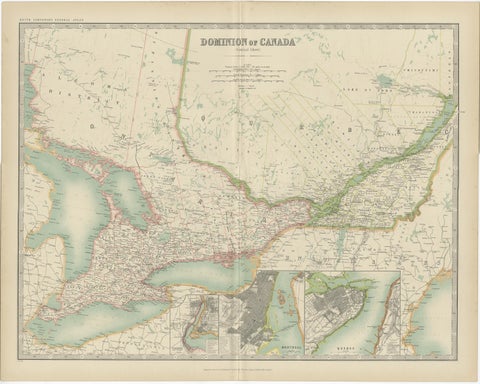
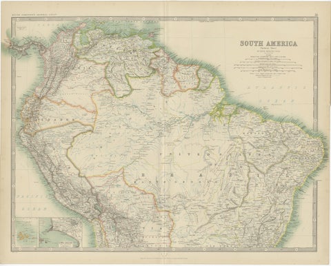
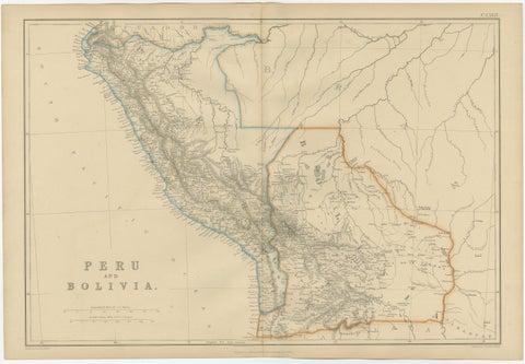
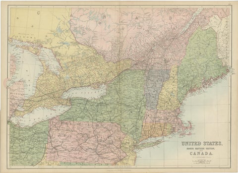
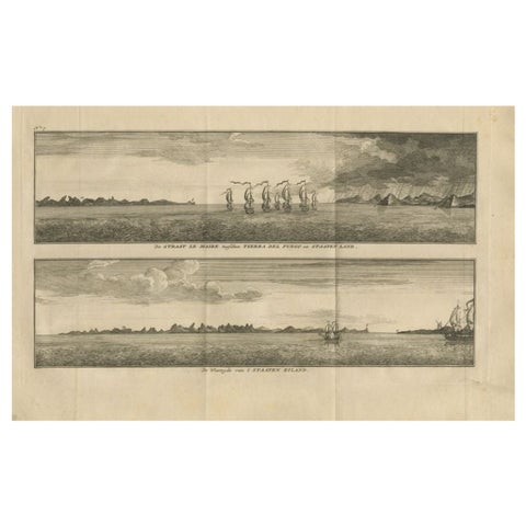
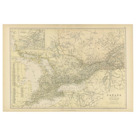
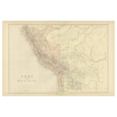
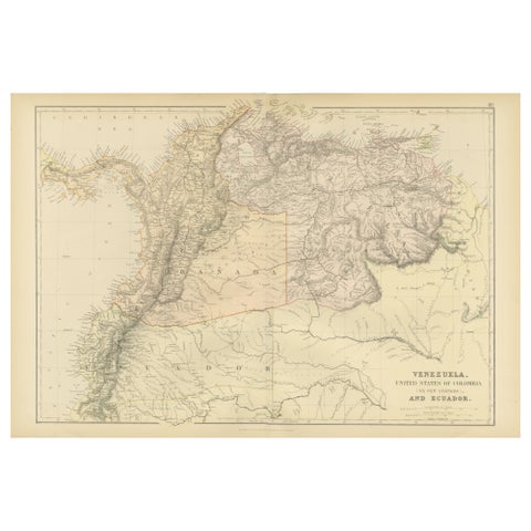
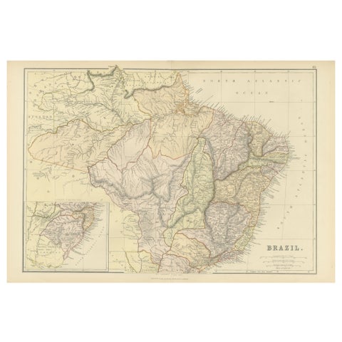
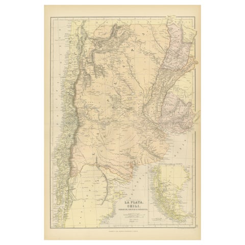
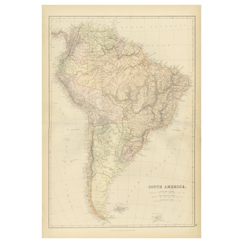
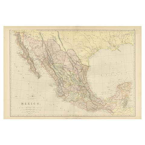
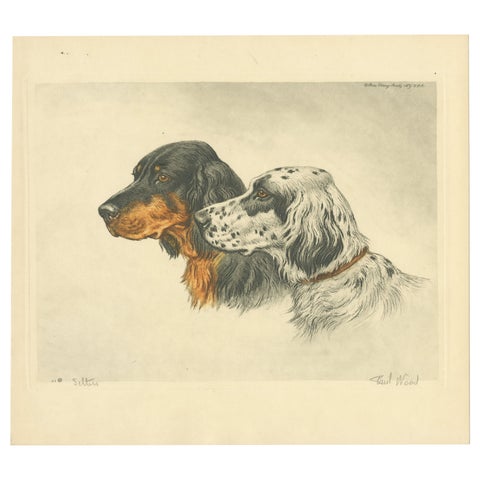
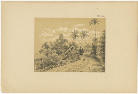
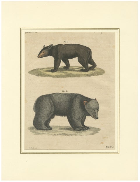
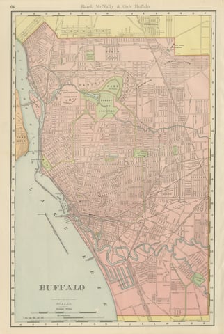
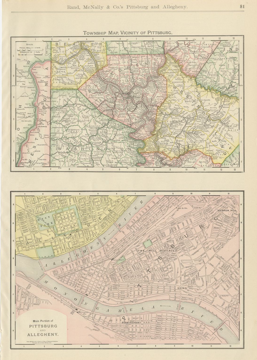
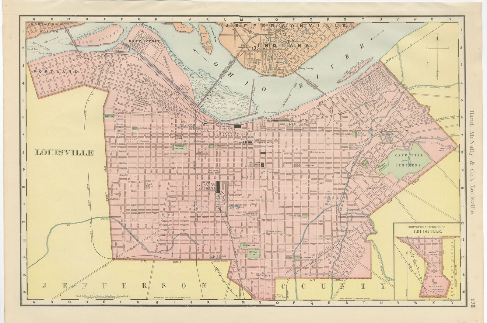
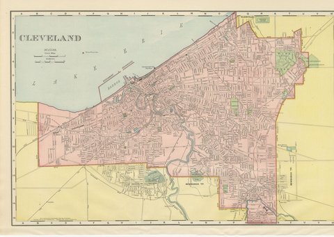
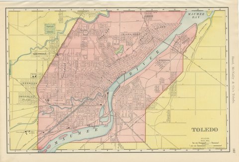
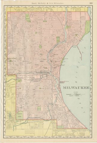
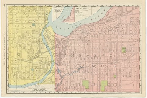
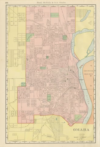
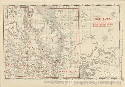
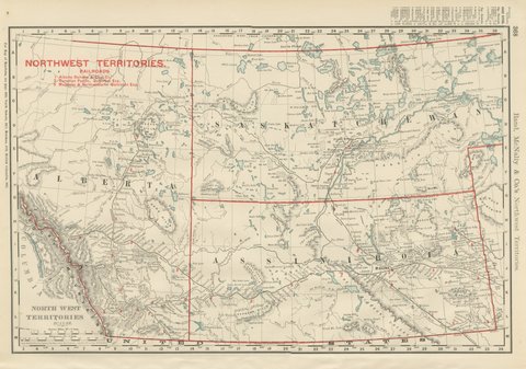
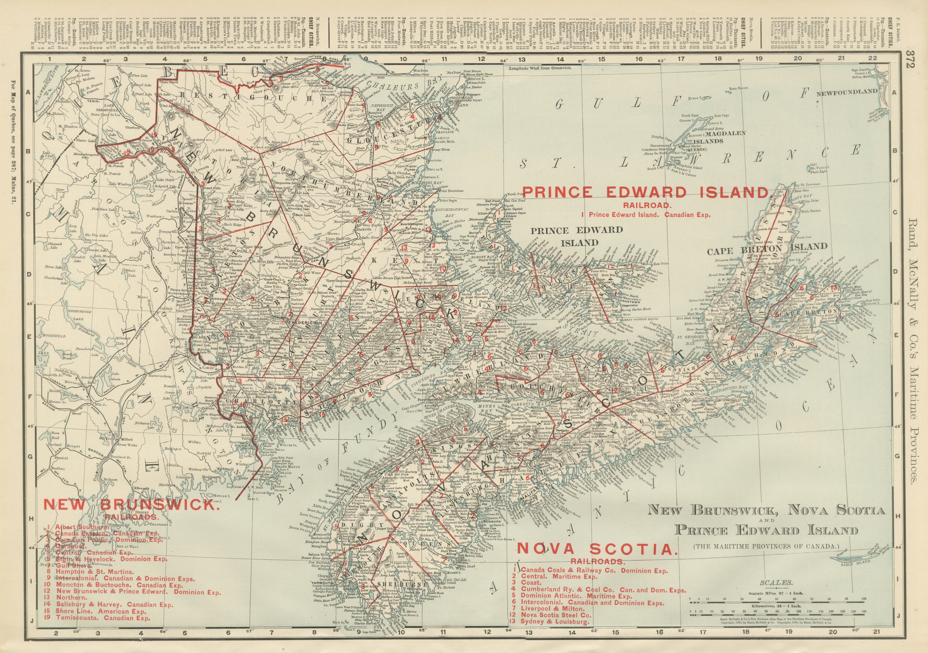
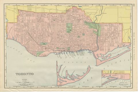
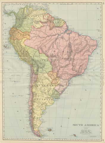
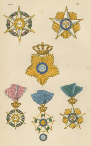
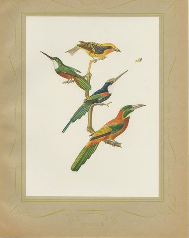
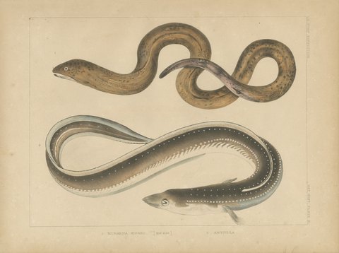
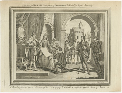
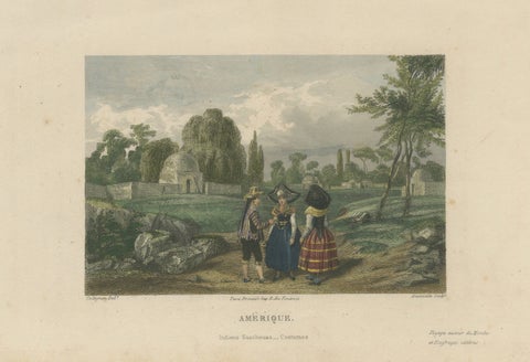
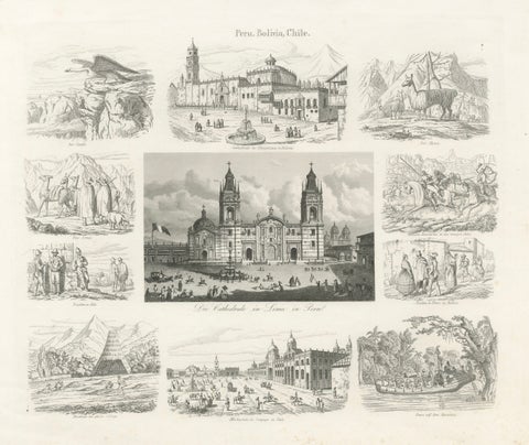
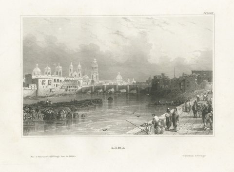
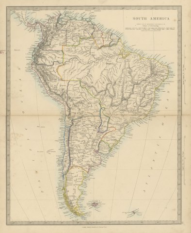
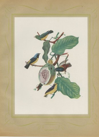
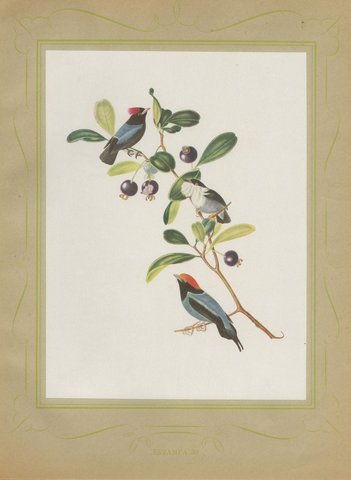
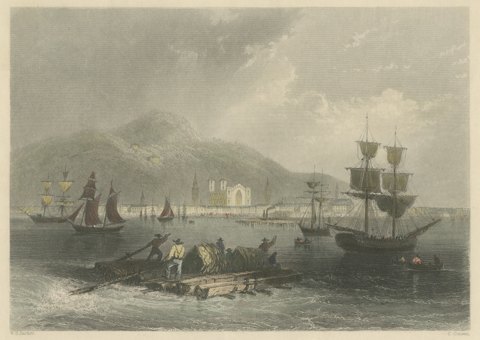
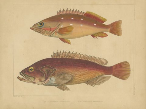
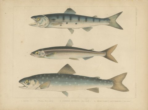
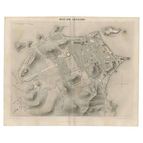
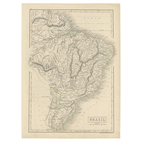
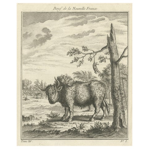
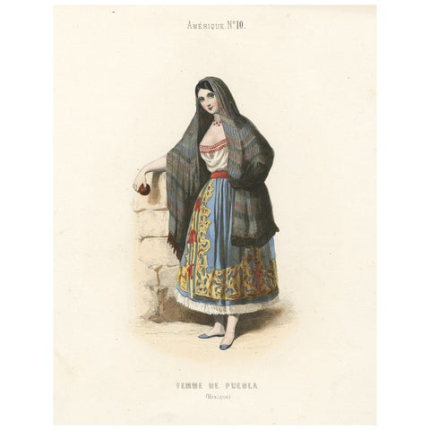
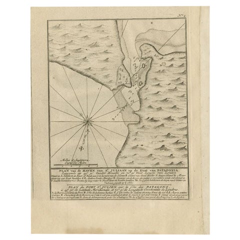
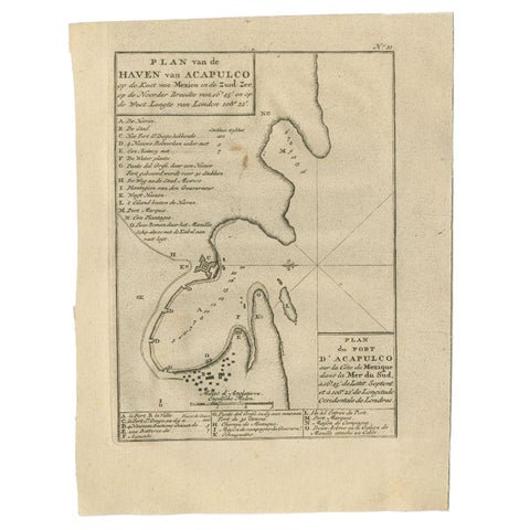
Antique Map of Canada by Johnston '1909'Antique Map of Canada by Johnston '1909'$275 $190 30% offExploring South America's North: Antique Map from the Royal Atlas of 1909Exploring South America's North: Antique Map from the Royal Atlas of 1909$275 $190 30% offAntique Map of Peru and Bolivia by W. G. Blackie, 1859Antique Map of Peru and Bolivia by W. G. Blackie, 1859$275 $190 30% offAntique Map of The United States and Canada by A & C. Black, 1870Antique Map of The United States and Canada by A & C. Black, 1870$275 $190 30% offAntique Print with Views of Staten Island and Tierra Del Fuego, 1749Antique Print with Views of Staten Island and Tierra Del Fuego, 1749$275 $190 30% offAntique Map of Canada, The Province of Ontario and Part of Quebec, 1882Antique Map of Canada, The Province of Ontario and Part of Quebec, 1882$275 $190 30% offAntique 1882 Antique Map of Peru and Bolivia: Andes Mountains and Amazon RiversAntique 1882 Antique Map of Peru and Bolivia: Andes Mountains and Amazon Rivers$275 $190 30% offAntique 1882 Map of Venezuela, Colombia (New Granada), and EcuadorAntique 1882 Map of Venezuela, Colombia (New Granada), and Ecuador$275 $190 30% off1882 Map of Brazil: Historic Borders, River Systems, and Coastal Regions1882 Map of Brazil: Historic Borders, River Systems, and Coastal Regions$275 $190 30% off1882 Map of Argentina, La Plata, Chile, Paraguay, Uruguay, and Patagonia1882 Map of Argentina, La Plata, Chile, Paraguay, Uruguay, and Patagonia$275 $190 30% off1882 Detailed Map of South America showing Political and Geographical Features1882 Detailed Map of South America showing Political and Geographical Features$275 $190 30% off1882 Antique Map of Mexico Highlighting Geographical and Political Boundaries1882 Antique Map of Mexico Highlighting Geographical and Political Boundaries$275 $190 30% offSetters Vintage Dog Portrait Lithograph, Paul Wood, 1930s, SignedSetters Vintage Dog Portrait Lithograph, Paul Wood, 1930s, Signed$275 $190 30% offAntique Venezuela La Guaira Landscape - Dutch Colonial Tinted Lithograph, 1888Antique Venezuela La Guaira Landscape - Dutch Colonial Tinted Lithograph, 1888$275 $190 30% offAntique Tapir & Bear Zoological Engraving – Bertuch, c. 1800Antique Tapir & Bear Zoological Engraving – Bertuch, c. 1800$275 $190 30% offAntique Map of Buffalo, New York, on Lake Erie, Rand McNally, 1899Antique Map of Buffalo, New York, on Lake Erie, Rand McNally, 1899$325 $245 25% offAntique Map of Pittsburg and Allegheny, The Steel City, Rand McNally, 1899Antique Map of Pittsburg and Allegheny, The Steel City, Rand McNally, 1899$325 $245 25% offAntique Map of Louisville, Kentucky, on the Ohio River, Rand McNally, 1899Antique Map of Louisville, Kentucky, on the Ohio River, Rand McNally, 1899$325 $245 25% offAntique Map of Cleveland, The Forest City, Rand McNally, 1899Antique Map of Cleveland, The Forest City, Rand McNally, 1899$325 $245 25% offAntique Map of Toledo, Ohio, with Maumee Bay, Rand McNally, 1899Antique Map of Toledo, Ohio, with Maumee Bay, Rand McNally, 1899$325 $245 25% offAntique Map of Milwaukee, The Cream City, Rand McNally, 1899Antique Map of Milwaukee, The Cream City, Rand McNally, 1899$325 $245 25% offAntique Map of Kansas City, at the Kaw River Confluence, Rand McNally, 1899Antique Map of Kansas City, at the Kaw River Confluence, Rand McNally, 1899$325 $245 25% offAntique Map of Omaha, with Union Stock Yards, Rand McNally, 1899Antique Map of Omaha, with Union Stock Yards, Rand McNally, 1899$325 $245 25% offAntique Map of Manitoba, with Lake Winnipeg, Rand McNally, 1899Antique Map of Manitoba, with Lake Winnipeg, Rand McNally, 1899$325 $245 25% offAntique Map of the North West Territories, Before Alberta and Saskatchewan, 1899Antique Map of the North West Territories, Before Alberta and Saskatchewan, 1899$325 $245 25% offAntique Maritimes Map, New Brunswick, Nova Scotia and Prince Edward Island, 1899Antique Maritimes Map, New Brunswick, Nova Scotia and Prince Edward Island, 1899$325 $245 25% offAntique Map of Toronto, with Queen's Park, Rand McNally, 1899Antique Map of Toronto, with Queen's Park, Rand McNally, 1899$325 $245 25% offAntique Map of South America, with the Amazon Basin, Rand McNally, 1899Antique Map of South America, with the Amazon Basin, Rand McNally, 1899$325 $245 25% offOrders of Brazil, Order of the Rose and Southern Cross, Plate XVI, 1844Orders of Brazil, Order of the Rose and Southern Cross, Plate XVI, 1844$325 $245 25% offJacamars and Motmots, Brazilian Bird Print, Descourtilz, 1944Jacamars and Motmots, Brazilian Bird Print, Descourtilz, 1944$325 $245 25% offJapanese Moray Eel and Conger, Perry Expedition Lithograph, 1856Japanese Moray Eel and Conger, Perry Expedition Lithograph, 1856$270 $190 30% offColumbus Presenting Discovery of America to Ferdinand & Isabella, 1787Columbus Presenting Discovery of America to Ferdinand & Isabella, 1787$325 $245 25% offQuechua Indigenous Costumes, South America – Hand-Colored Print, 1843Quechua Indigenous Costumes, South America – Hand-Colored Print, 1843$325 $245 25% offOriginal Antique Print of Peru, Bolivia & Chile – Lima Cathedral and Views, 1855Original Antique Print of Peru, Bolivia & Chile – Lima Cathedral and Views, 1855$325 $245 25% offLima, Peru, with the Stone Bridge over the Rimac, Steel Engraving, circa 1850Lima, Peru, with the Stone Bridge over the Rimac, Steel Engraving, circa 1850$265 $185 30% offAntique Map of South America with the Falklands and South Georgia, 1858Antique Map of South America with the Falklands and South Georgia, 1858$265 $185 30% offTanagers and Euphonias on a Papaya, Brazilian Bird Print, Descourtilz, 1944Tanagers and Euphonias on a Papaya, Brazilian Bird Print, Descourtilz, 1944$265 $185 30% offTanagers on a Fruiting Branch, Brazilian Bird Print, Descourtilz, 1944Tanagers on a Fruiting Branch, Brazilian Bird Print, Descourtilz, 1944$265 $185 30% offManakins, Brazilian Bird Print, Descourtilz, 1944Manakins, Brazilian Bird Print, Descourtilz, 1944$265 $185 30% offMontreal, Canadian Scenery, after W. H. Bartlett, Antique Engraving, circa 1842Montreal, Canadian Scenery, after W. H. Bartlett, Antique Engraving, circa 1842$265 $185 30% offJapanese Sea Bass, Antique Perry Expedition Fish Lithograph, 1856Japanese Sea Bass, Antique Perry Expedition Fish Lithograph, 1856$265 $185 30% offJapanese Smelt and Char, Antique Perry Expedition Lithograph, 1856Japanese Smelt and Char, Antique Perry Expedition Lithograph, 1856$265 $185 30% offAntique Map of the City of Rio de Janeiro by Balbi '1847'Antique Map of the City of Rio de Janeiro by Balbi '1847'$265 $185 30% offAntique Map of Brazil with Original Outline Hand-Colouring, c.1844Antique Map of Brazil with Original Outline Hand-Colouring, c.1844$265 $185 30% offOld Print of a Bull or Bison from the French North America, Canada, Ca.1760Old Print of a Bull or Bison from the French North America, Canada, Ca.1760$265 $185 30% offOriginal Antique Handcolored Print Depicting a Woman from Puebla, Mexico, 1850Original Antique Handcolored Print Depicting a Woman from Puebla, Mexico, 1850$265 $185 30% offAntique Map of Puerto San Julian in Patagonia, 1749Antique Map of Puerto San Julian in Patagonia, 1749$265 $185 30% offAntique Map of the Port of Acapulco in Mexico, 1749Antique Map of the Port of Acapulco in Mexico, 1749$265 $185 30% off

Your favorites

Saved in this browser. Email the list to yourself to keep it on any device.

We use your email to send this list and, only if you tick the box and confirm, for occasional new arrivals. Every email has an unsubscribe link. Bartele Gallery, the Netherlands.

Your bag

Total

Each piece is bought on its own; shipping is added at checkout.

Powered by SiteKeys