Antique maps & prints of the Americas
The Early Republic
★ 76 original pieces ★
From independence to about 1840 American publishers such as Tanner, Carey and Mitchell began to map their own country, and the new states appear with their first county lines.
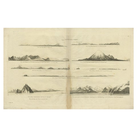
Antique Map of the West Coast of America with Island Views, ca.1784
1784 · Captain Cook voyages
$505
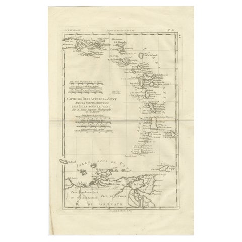
Caribbean & Lesser Antilles – Enlightenment Map by Rigobert Bonne, c.1780
1780 · Rigobert Bonne
$505
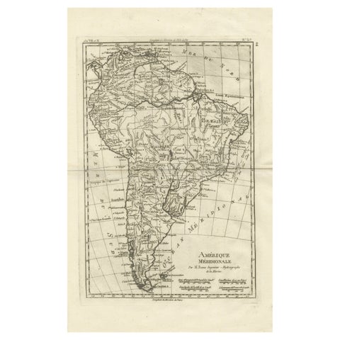
South America – Original Antique Enlightenment Map by Rigobert Bonne, c.1780
1780 · Rigobert Bonne
$490
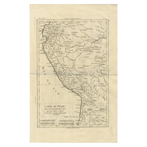
Peru & Upper Amazon – Enlightenment Map by Rigobert Bonne, c.1780
1780 · Rigobert Bonne
$490
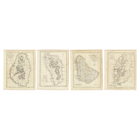
Set of Four Antique Maps of Caribbean Islands by Bryan Edwards, 1818
1818
$490
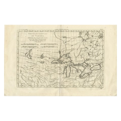
Great Lakes Antique Map, Canada, Midwest USA, Enlightenment Era, Bonne c.1780
1780 · Rigobert Bonne
$480
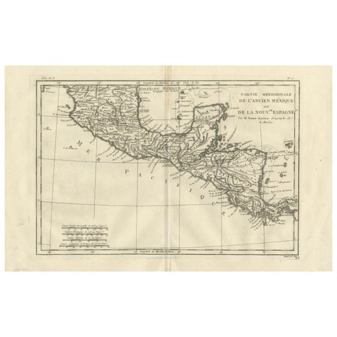
Southern Mexico & New Spain – Enlightenment Map by Rigobert Bonne, c.1780
1780 · Rigobert Bonne
$460
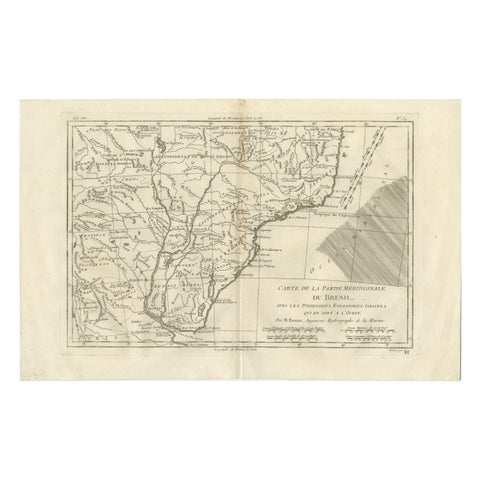
Southern Brazil & Río de la Plata – Enlightenment Map by Rigobert Bonne, c.1780
1780 · Rigobert Bonne
$455
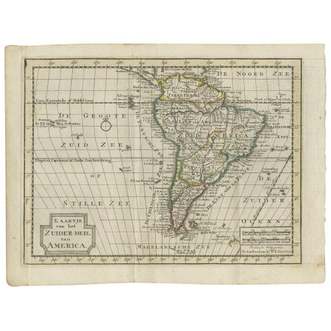
Antique Map of South America by Keizer & de Lat, 1788
1788
$450
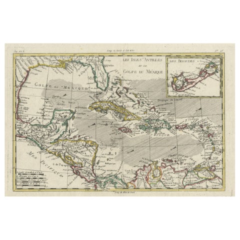
Original Engraving of the West Indies, Gulf of Mexico, Antilles, Caribbean, 1780
1780 · Rigobert Bonne
$435
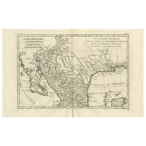
New Mexico & Northern New Spain – Enlightenment Map by Rigobert Bonne, c.1780
1780 · Rigobert Bonne
$435
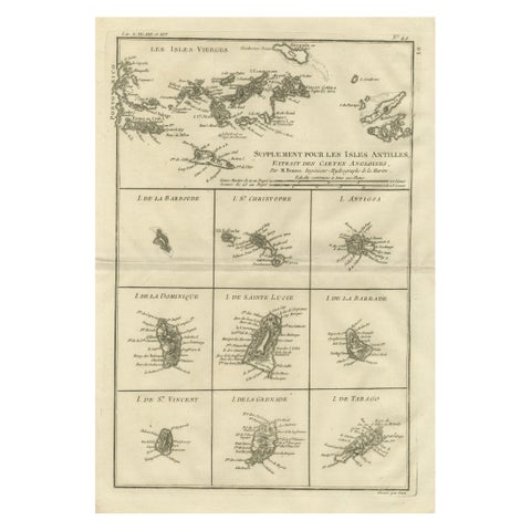
Antique Caribbean Map, Virgin Islands and Antilles Atlas Sheet, Bonne c.1780
1780 · Rigobert Bonne
$435
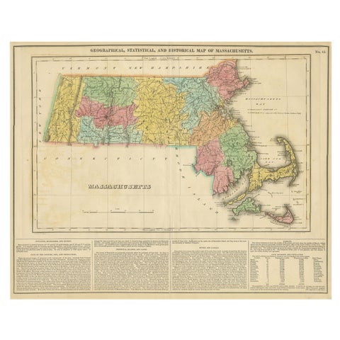
Antique Geographical, Historical and Statistical Map of Massachusetts, 1822
1822
$425
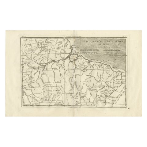
Northern Brazil & Amazon Basin – Enlightenment Map by Rigobert Bonne, c.1780
1780 · Rigobert Bonne
$425
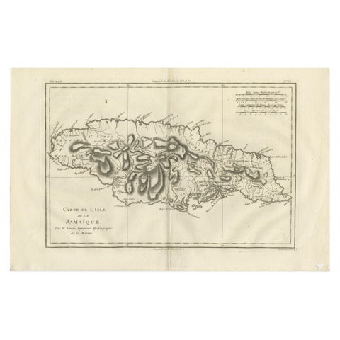
Jamaica – Original Antique Island Map by Rigobert Bonne, c.1780
1780 · Rigobert Bonne
$415
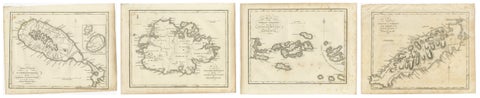
Antique Caribbean Maps of St. Kitts, Antigua, Virgin Islands & Tobago, 1818
1818
$405
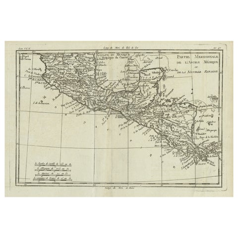
Antique French Engraving of Mexico with Lots of Details, c.1780
1780 · Jacques-Nicolas Bellin
$390
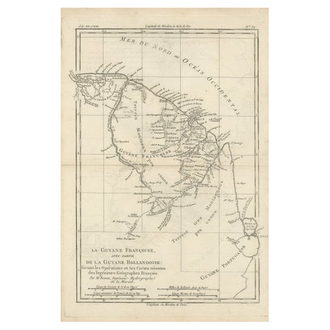
Antique Map of South America Depicting Guayana, c.1780
1780 · Rigobert Bonne
$390
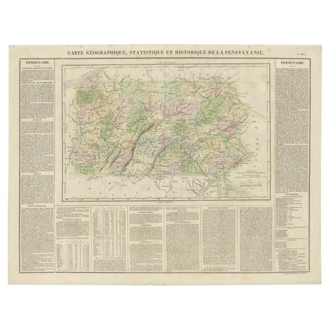
Original Antique Map of Pennsylvania Showing Interesting Statistics Etc, 1825
1825
$390
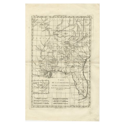
Antique Map Louisiana & Mississippi Valley, Florida Region, Bonne c.1780
1780 · Rigobert Bonne
$390
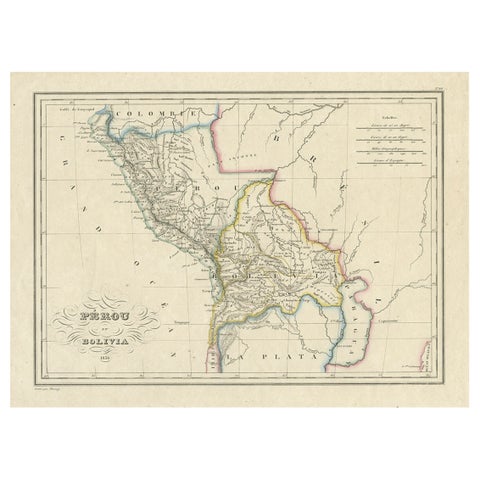
Antique Map of Peru and Bolivia, 1836
1836
$380
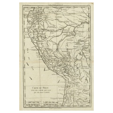
Map of the Western Coast of South America from Ecuador into Chili, ca.1780
1780 · Jacques-Nicolas Bellin
$380
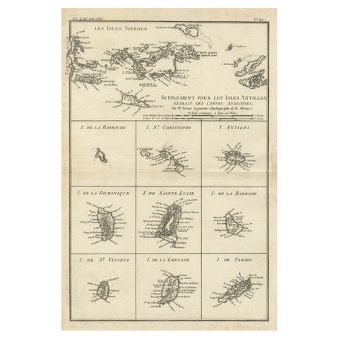
Map of Virgin Islands and Lesser Antilles by Rigobert Bonne, c. 1780
1780 · Rigobert Bonne
$370
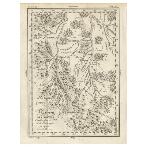
Mission of the Moxos, Peru – Antique French Jesuit Map by Portier, c.1790
1790
$370
★
Other periods