A Bartele Gallery CollectionLangweer · Jakarta

American Maps & Prints
Original antique maps, charts & prints of the Americas ★ Originals only


Antique maps & prints of the Americas

Westward Expansion & Civil War

★ 122 original pieces ★

Texas, Oregon and the Mexican cession, the gold rush and the Civil War: two decades in which the map of the United States changed faster than at any time before or since.
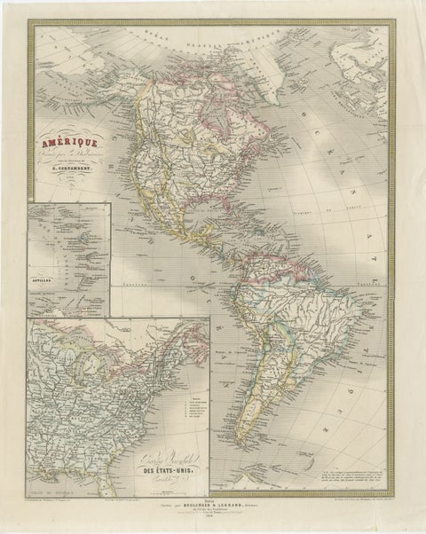
French Map of the Americas by Cortambert – North & South America 1864
1864
$445
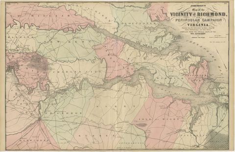
1862 Johnson's Map of the Vicinity of Richmond & Peninsular Campaign, Virginia
1862
$435
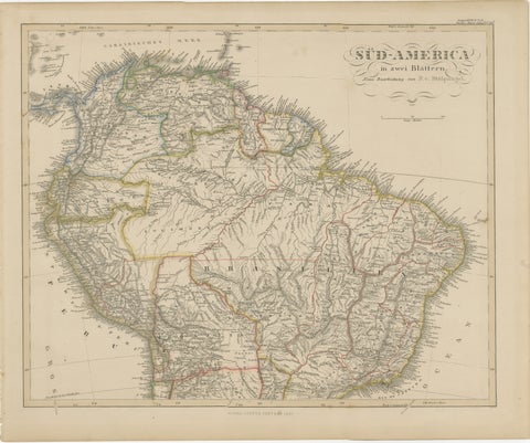
1857 Map of Northern South America – Brazil, Colombia, Peru by Stülpnagel
1857
$435
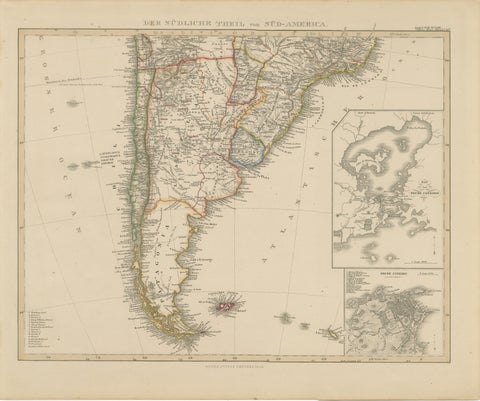
1857 Map of Southern South America – Argentina, Chile, Rio de Janeiro
1857
$435
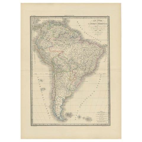
Antique Map of South America by Lapie '1842'
1842
$430
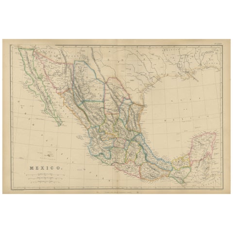
Mexico, Antique Map, Central America and Gulf of Mexico, Blackie Atlas 1860
1860
$430
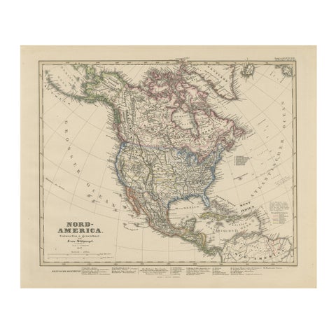
United States, Canada & Mexico – 1857 North America Map
1857 · Stieler
$415
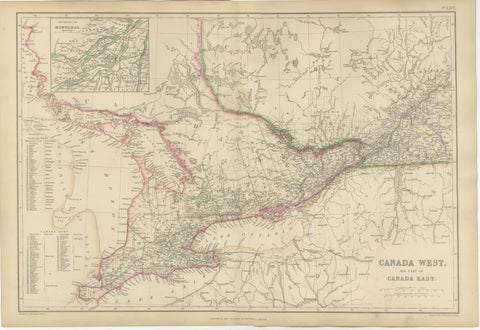
Antique Map of Canada West and Part of Canada East, Ontario & Quebec, 1860
1860
$415
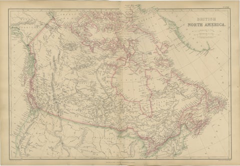
Antique Map of British North America, Canada and Hudson Bay, 1860
1860
$415
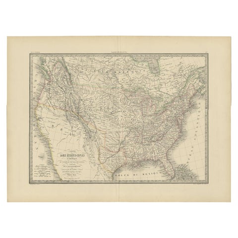
Antique Map of the United States by Pierre M. Lapie, Wall Art, 1842
1842
$405
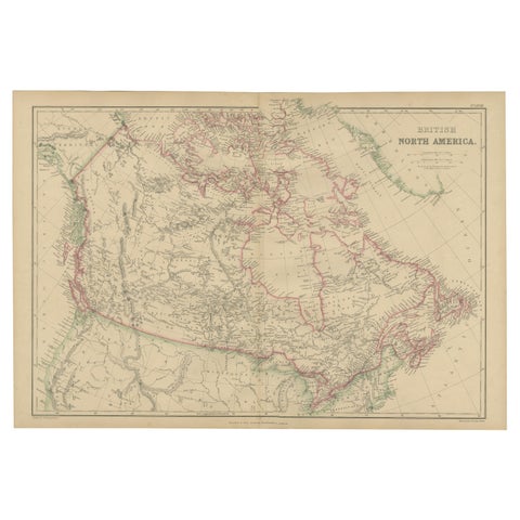
British North America, Antique Map of Canada and Arctic Regions, Blackie, 1859
1859
$405
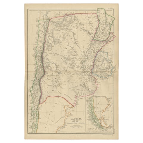
La Plata, Chile, Paraguay, Uruguay and Patagonia, Antique Map, Blackie, 1859
1859
$405
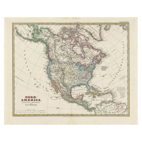
Old German Map of Northern America with Attractive Hand Coloring, 1864
1864
$405
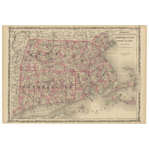
Rare 1864 Civil War Era Map of Massachusetts, Connecticut, and Rhode Island
1864
$405
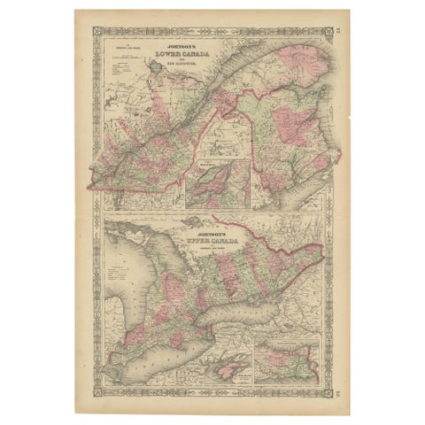
Historic 1864 Civil War Era Map of Canada with Great Lakes Detail
1864
$405
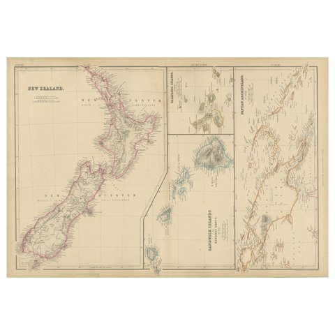
New Zealand, Antique Map, Pacific Islands, Sandwich Islands, Blackie Atlas 1860
1860
$405
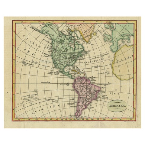
Decorative Dutch Antique Map of North and South America, 1841
1841
$390
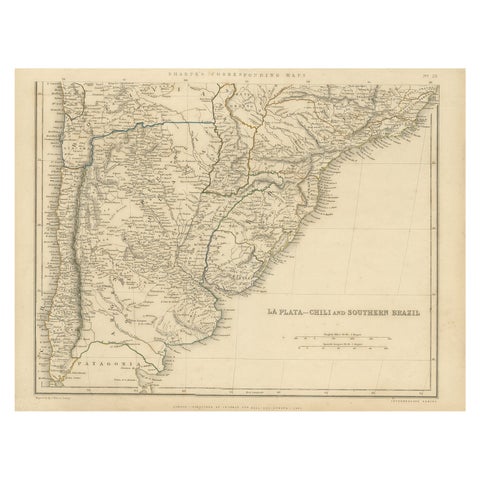
Antique Map of La Plata, Chili and Southern Brazil, 1849
1849
$390
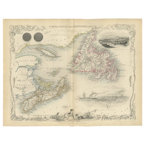
A Decorative Map of Nova Scotia and Newfoundland by John Tallis, 1851
1851 · John Tallis
$380
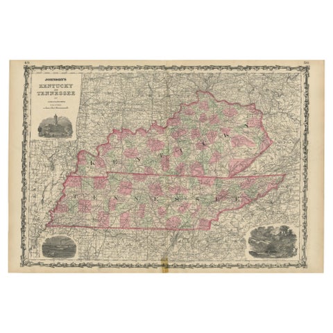
Civil War Era Map of Kentucky and Tennessee with Scenic Insets, Published 1864
1864
$380
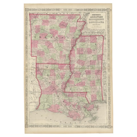
Rare 1864 Civil War Era Map of Arkansas, Mississippi, and Louisiana
1864
$380
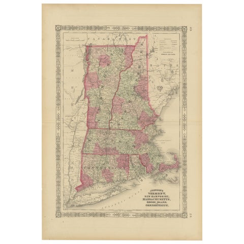
Rare 1864 Civil War Era Map of Vermont, New Hampshire, and Southern New England
1864
$380
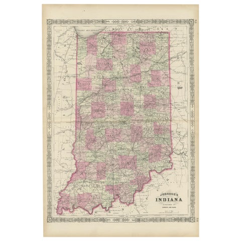
Decorative 1864 Civil War Era Map of Indiana with Lake Michigan Detail
1864
$380
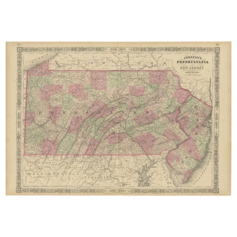
Historic 1864 Civil War Map of Pennsylvania and New Jersey with Coastal Focus
1864
$380
← PreviousPage 2 of 6Next →
★

Other periods


Colonial America
193 pieces
The Early Republic
261 pieces
The Gilded Age
393 pieces
The Twentieth Century
105 pieces

Your favorites

Saved in this browser. Email the list to yourself to keep it on any device.

We use your email to send this list and, only if you tick the box and confirm, for occasional new arrivals. Every email has an unsubscribe link. Bartele Gallery, the Netherlands.

Your bag

Total

Each piece is bought on its own; shipping is added at checkout.