Antique maps & prints of the Americas
The Twentieth Century
★ 105 original pieces ★
Pictorial maps, travel maps and later prints: the decorative side of American cartography in the twentieth century.
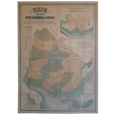
Cortesi's Masterpiece: A Comprehensive and Authoritative Map of Uruguay, 1903
1903
$6,155
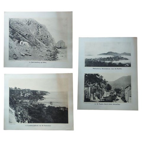
Large Photographic Plates of Saba, Sint Eustatius, Sint Martin Caribbean, 1910
1910
$1,845

Vintage Poster Issued by the Suriname Tourist Bureau, circa 1950
1950
$1,680
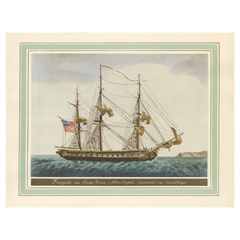
Approaching Safe Harbor: The American Frigate's Return, circa 1920
1920
$1,345
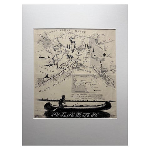
Original Illustration Map of Alaska by Charles Burki, ca. 1945 – Ink Drawing
1945
$1,050
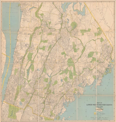
Large Decorative Map of Westchester County New York 1931 – Linen-Backed Wall Map
1931
$1,035
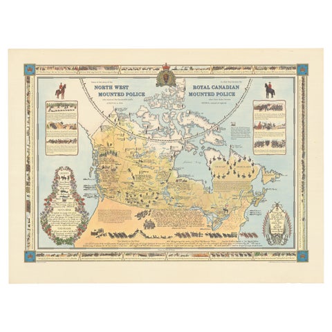
The History of the Royal Canadian Mounted Police, Published in 1966
1966
$1,005
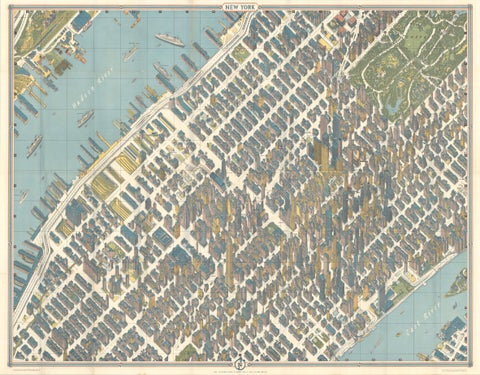
Hermann Bollmann New York City Bird’s-Eye Map for American Airlines, 1964
1964 · Hermann Bollmann
$1,000
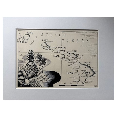
Original Illustration Map of Hawaii by Charles Burki, ca. 1948 – Ink Drawing
1948
$885
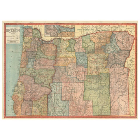
Colorful 1915 Road Map of Oregon with Portland Inset & Index – Geographical Pub.
1915
$860
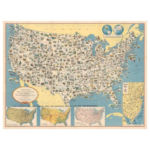
Old Decorative Pictorial Map of the United States, circa 1953
1953
$840
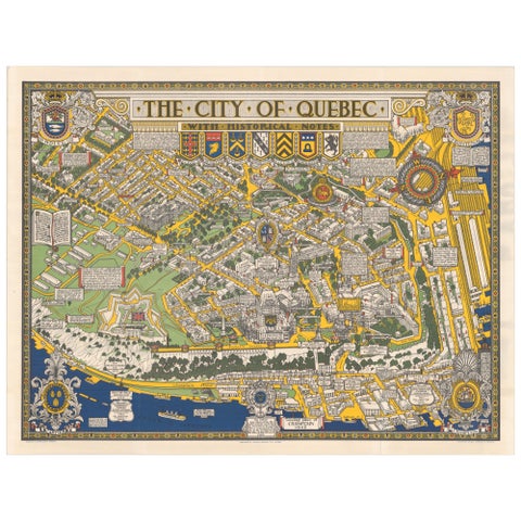
Quebec City Pictorial Map, The City of Quebec with Historical Notes, 1932
1932
$765
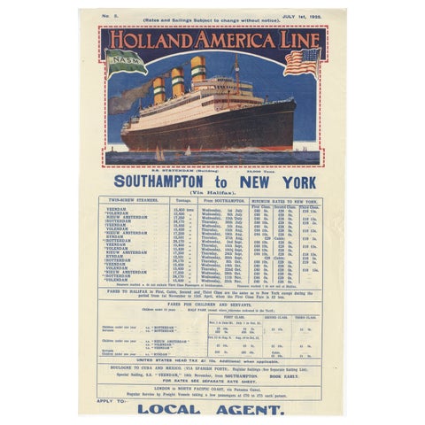
1925 Holland America Line: Southampton to New York Transatlantic Voyages
1925
$715
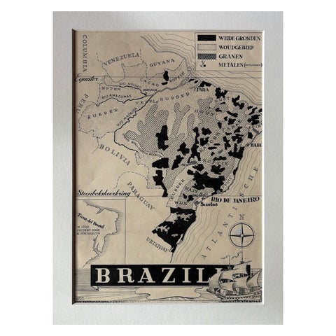
Original 1947 Map of Brazil by Charles Burki – Dutch Colonial Graphic Design
1947
$695
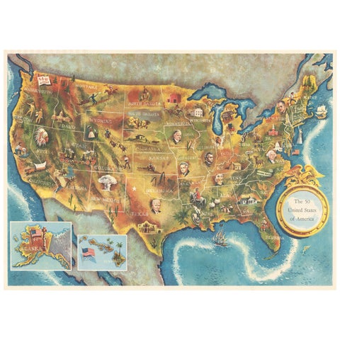
American Election Map and 1960 Presidential Fact Sheet, Published 1960
1960
$670
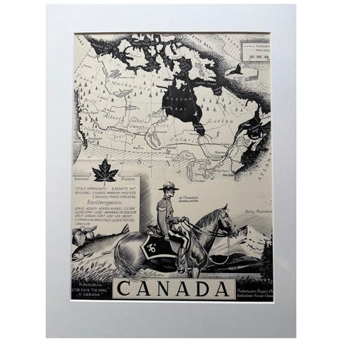
Original 1948 Map of Canada by Charles Burki – Art Deco Mountie Illustration
1948
$650
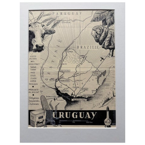
Original 1948 Map of Uruguay by Charles Burki – Art Deco Design
1948
$615
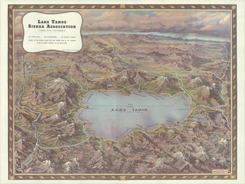
Vintage Lake Tahoe Bird’s-Eye View Pictorial Map by Gerald A. Eddy, circa 1945
1945
$605
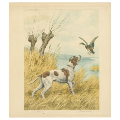
Vintage Hunting Dog Lithograph “Pointer & Mallard” by Paul Wood – New York, 1930
1930
$525
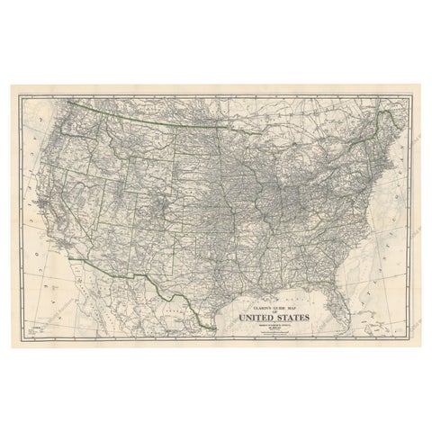
Old Map of the American Railroad Network and All Weather Roads on Verso, 1931
1931
$505
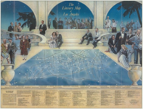
Vintage Literary Map of Los Angeles by Linda Ayriss, 1987
1987
$500
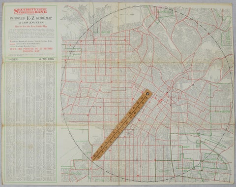
Antique E-Z Guide Map of Los Angeles with Rotating Locator, 1927
1927
$490
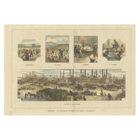
Antique Print Showing the Cotton Cultivation and Trade in America, Ca.1900
1900
$425
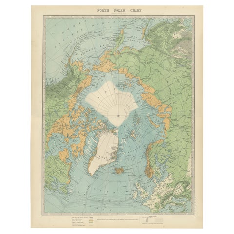
Vintage North Polar Chart – Greenland & Arctic Exploration Routes, 1903
1903
$405
Page 1 of 5Next →
★
Other periods