Original antique maps & prints of
The United States
★ 584 original pieces ★
Original maps, views and prints of the United States, from the colonial charts of the seventeenth century to the railroad atlases of the Gilded Age. Browse by state, by region or by period.
By State
Every state we hold, grouped by region
Territories
New England
Maine, New Hampshire, Vermont, Massachusetts, Rhode Island and Connecticut
36 pieces
Mid-Atlantic
New York, New Jersey, Pennsylvania, Delaware, Maryland and Washington, D.C.
91 pieces
The South
Virginia and the Carolinas to Florida, Louisiana and Tennessee
84 pieces
The Midwest
Ohio and the Great Lakes to Missouri and Minnesota
78 pieces
The Great Plains
Kansas, Nebraska, the Dakotas and Oklahoma
31 pieces
The Southwest
Texas, New Mexico and Arizona
29 pieces
The Mountain West
Colorado, Utah, Nevada, Idaho, Montana and Wyoming
36 pieces
The Pacific Coast
California, Oregon, Washington, Alaska and Hawaii
106 pieces
Puerto Rico
The United States territory in the Caribbean
4 pieces
★
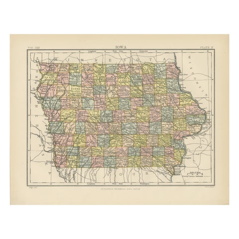
Original Antique Map of Iowa, Published in 1881
1881
$325
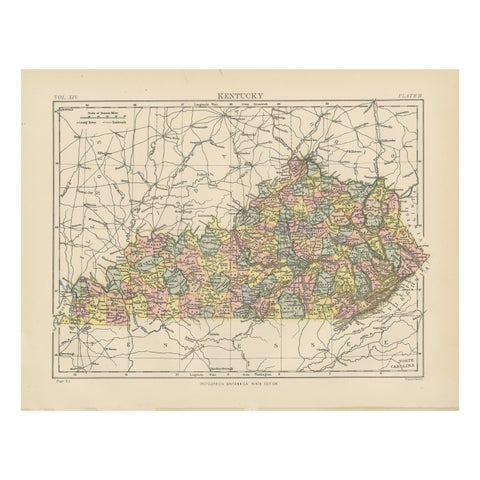
Antique Map of Kentucky
1882
$325
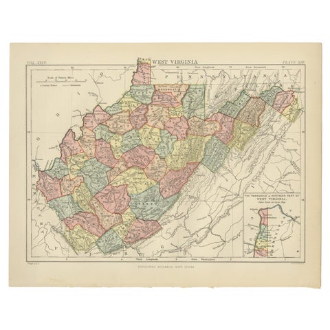
Antique Map of Virginia, with Inset Map of the Northern Part, 1888
1888
$325
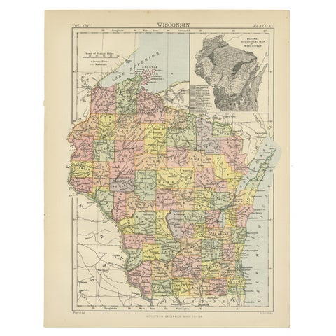
Antique Map of Wisconsin with Inset Geological Map of Wisconsin
$325
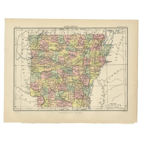
Antique Map of Arkansas from Encyclopaedia Britannica, 1875
1875
$325
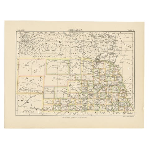
Antique Map of Nebraska
1884
$325
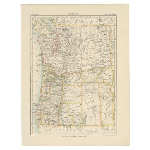
Antique Map of Oregon
1884
$325
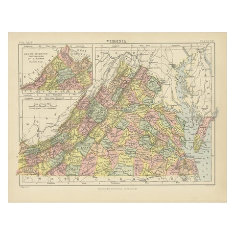
Antique Map of Virginia, with Inset Map of the South Western Continuation
1888
$325
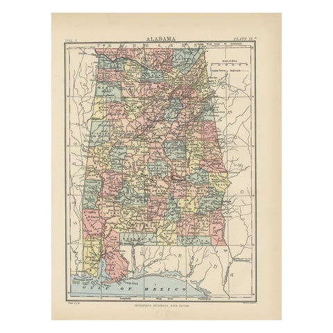
Antique Map of Alabama
1875
$325
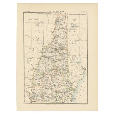
Antique Map of New Hampshire
1884
$325
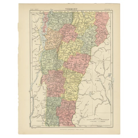
Antique Map of Vermont
1888
$325
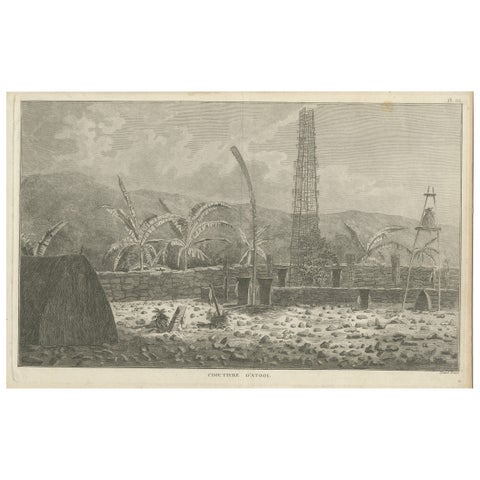
Antique Print of a Sacred Cemetery on Kauai, Hawaii
1785
$325
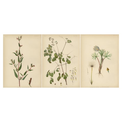
Native US Flora - Three Original Botanical Chromolithograps, 1879
1879
$325
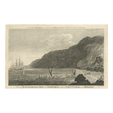
Final Voyage: The Death of Captain Cook at Kealakekua Bay, Hawaii, 1779
1779 · Captain Cook voyages
$325
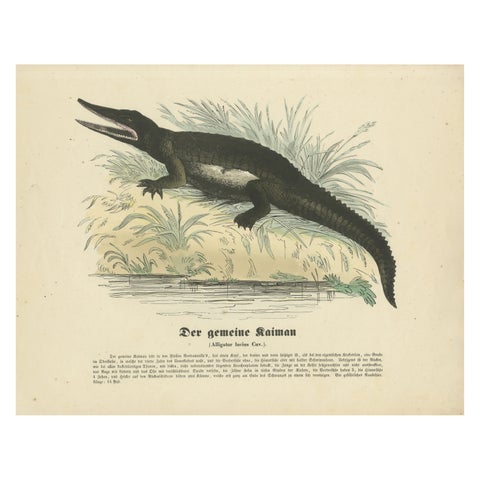
Der gemeine Kaiman (Common Caiman) - Hand-Colored Zoological Print, Circa 1840
1840
$325
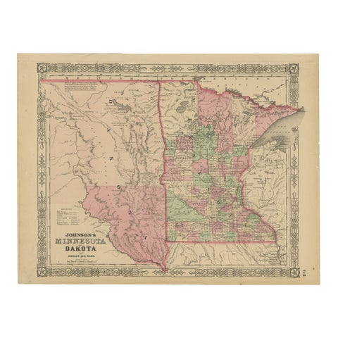
Minnesota and Dakota Map – Johnson, Hand-Colored, USA c.1864
1864
$325
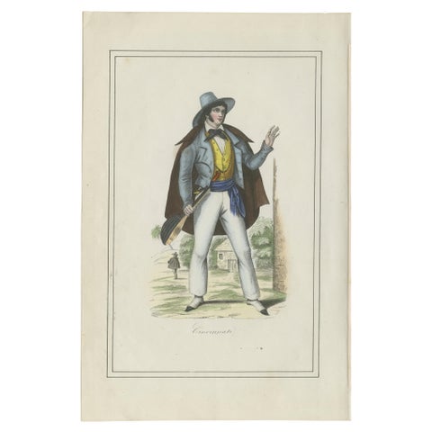
Cincinnati Costume Print – Antique Hand-Colored Lithograph, 1854
1854
$325
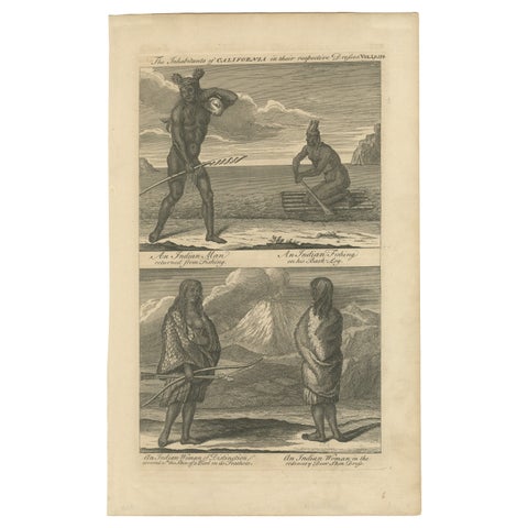
Inhabitants of California, Indigenous Dress and Daily Life Engraving, c1774
circa 1774
$325
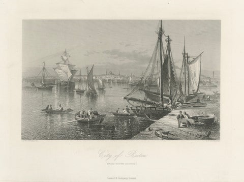
City of Boston, Harbor View from South Boston – Antique Maritime Engraving, 1870
1870
$325
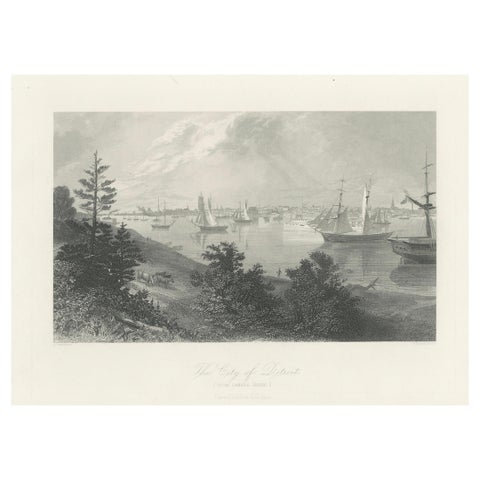
The City of Detroit, View from Canadian Shore – Antique Harbor Engraving, c.1872
1872
$325
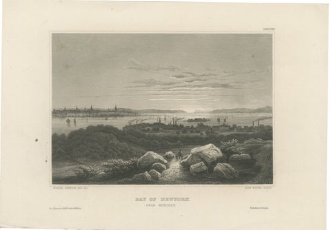
Bay of New York from Hoboken – Antique New York Harbor Engraving, c.1850
1850
$325
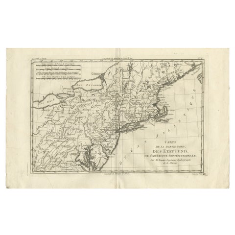
Antique Northeastern United States Map, New England & Mid-Atlantic, Bonne, 1780
1780 · Rigobert Bonne
$320
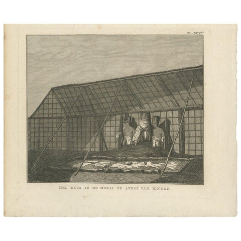
Antique Print of a House in Atooi by Cook - 1803
1803 · Captain Cook voyages
$315
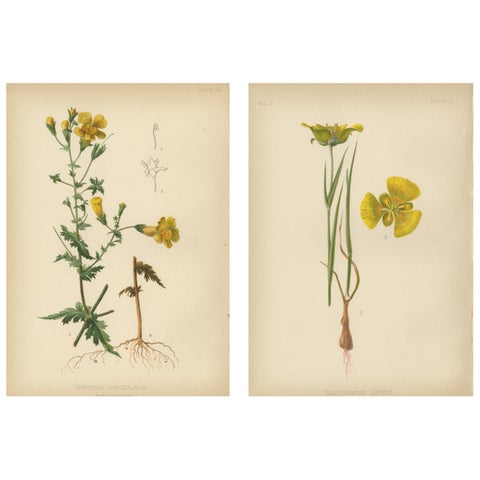
Native US Flora - Two Original Botanical Chromolithograps, 1879
1879
$315