Original antique maps & prints of
The United States
★ 268 original pieces ★
Original maps, views and prints of the United States, from the colonial charts of the seventeenth century to the railroad atlases of the Gilded Age. Browse by state, by region or by period.
By State
Every state we hold, grouped by region
Territories
New England
Maine, New Hampshire, Vermont, Massachusetts, Rhode Island and Connecticut
36 pieces
Mid-Atlantic
New York, New Jersey, Pennsylvania, Delaware, Maryland and Washington, D.C.
91 pieces
The South
Virginia and the Carolinas to Florida, Louisiana and Tennessee
84 pieces
The Midwest
Ohio and the Great Lakes to Missouri and Minnesota
78 pieces
The Great Plains
Kansas, Nebraska, the Dakotas and Oklahoma
32 pieces
The Southwest
Texas, New Mexico and Arizona
30 pieces
The Mountain West
Colorado, Utah, Nevada, Idaho, Montana and Wyoming
37 pieces
The Pacific Coast
California, Oregon, Washington, Alaska and Hawaii
107 pieces
Puerto Rico
The United States territory in the Caribbean
4 pieces
★
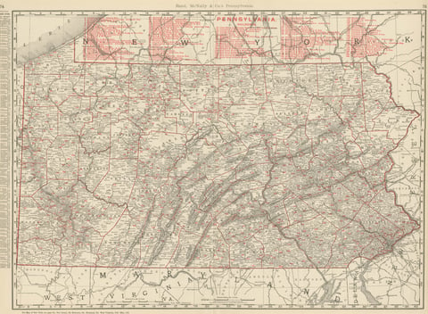
Antique Map of Pennsylvania, The Keystone State, Rand McNally, 1899
1899 · Rand McNally
$440
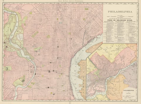
Antique Map of Philadelphia, with Delaware River Piers, Rand McNally, 1899
1899 · Rand McNally
$440
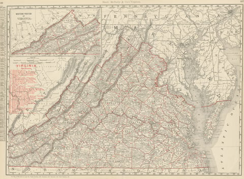
Antique Map of Virginia, The Old Dominion, Rand McNally, 1899
1899 · Rand McNally
$440
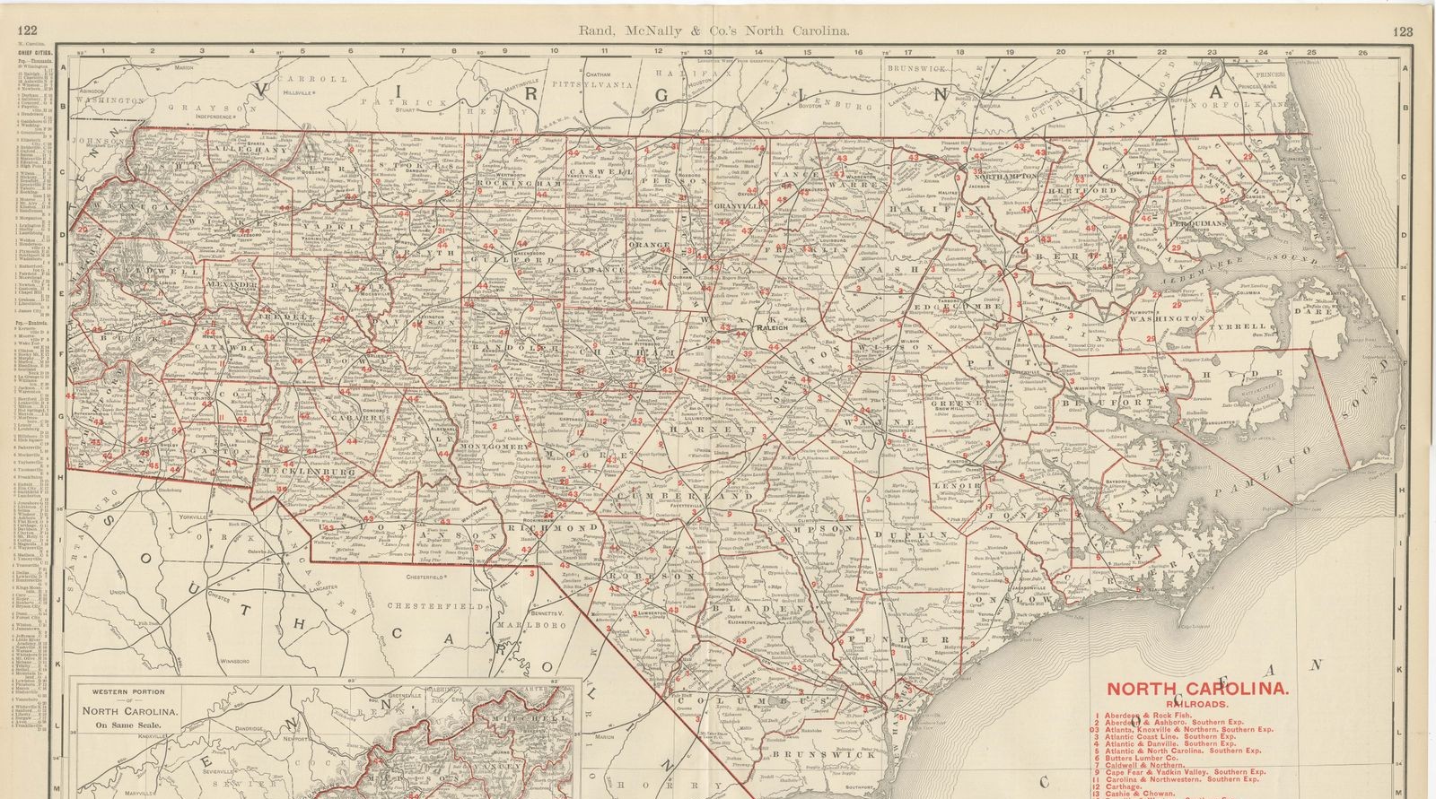
Antique Map of North Carolina, The Tar Heel State, Rand McNally, 1899
1899 · Rand McNally
$440
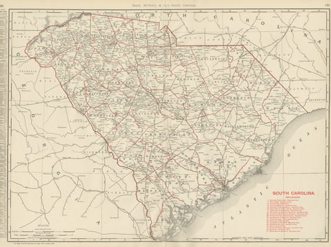
Antique Map of South Carolina, The Palmetto State, Rand McNally, 1899
1899 · Rand McNally
$440
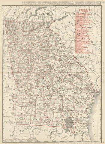
Antique Map of Georgia, The Peach State, Rand McNally, 1899
1899 · Rand McNally
$440
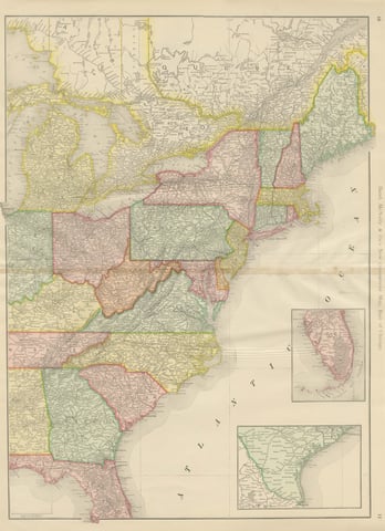
Antique Map of the Eastern United States, with Florida Inset, Rand McNally, 1899
1899 · Rand McNally
$440
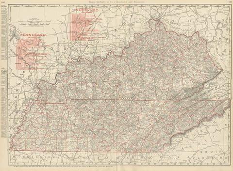
Antique Map of Kentucky and Tennessee, with the Bluegrass Region, 1899
1899 · Rand McNally
$440
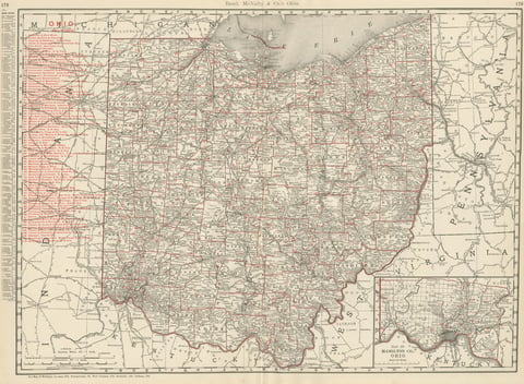
Antique Map of Ohio, The Buckeye State, Rand McNally, 1899
1899 · Rand McNally
$440
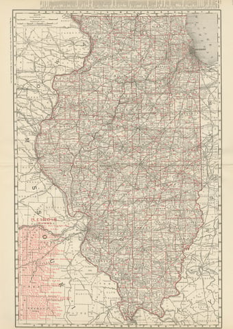
Antique Map of Illinois, The Prairie State, Rand McNally, 1899
1899 · Rand McNally
$440
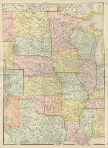
Antique Map of the Central United States, Chicago to Denver, Rand McNally, 1899
1899 · Rand McNally
$440
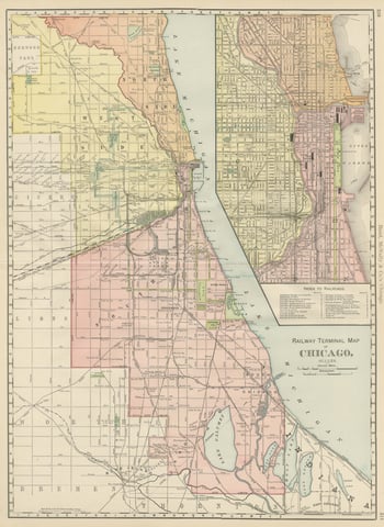
Antique Map of Chicago Railway Terminals, The Windy City, Rand McNally, 1899
1899 · Rand McNally
$440
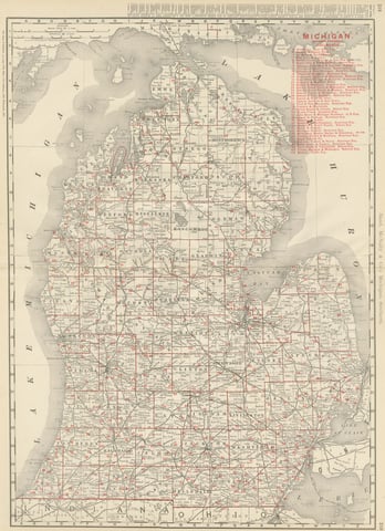
Antique Map of Michigan, The Great Lakes State, Rand McNally, 1899
1899 · Rand McNally
$440
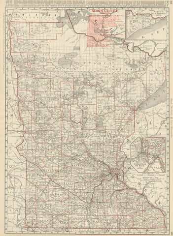
Antique Map of Minnesota, The North Star State, Rand McNally, 1899
1899 · Rand McNally
$440
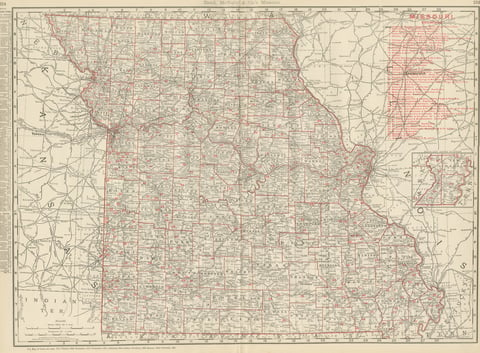
Antique Map of Missouri, The Show-Me State, Rand McNally, 1899
1899 · Rand McNally
$440
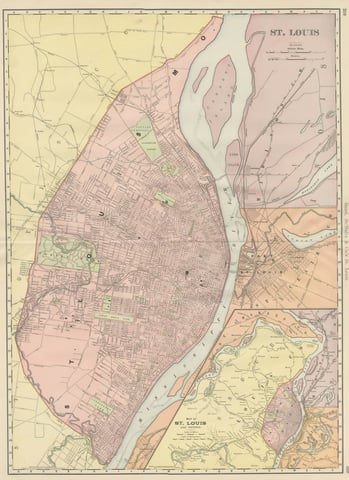
Antique Map of St. Louis, with Forest Park, Rand McNally, 1899
1899 · Rand McNally
$440
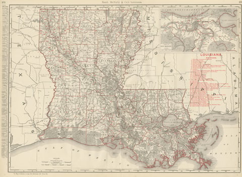
Antique Map of Louisiana, The Pelican State, Rand McNally, 1899
1899 · Rand McNally
$440
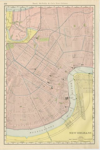
Antique Map of New Orleans, The Crescent City, Rand McNally, 1899
1899 · Rand McNally
$440
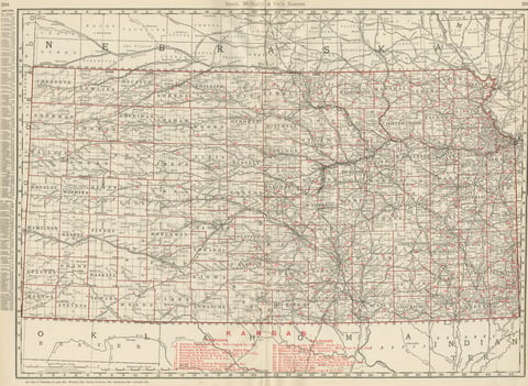
Antique Map of Kansas, The Sunflower State, Rand McNally, 1899
1899 · Rand McNally
$440
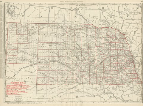
Antique Map of Nebraska, The Cornhusker State, Rand McNally, 1899
1899 · Rand McNally
$440
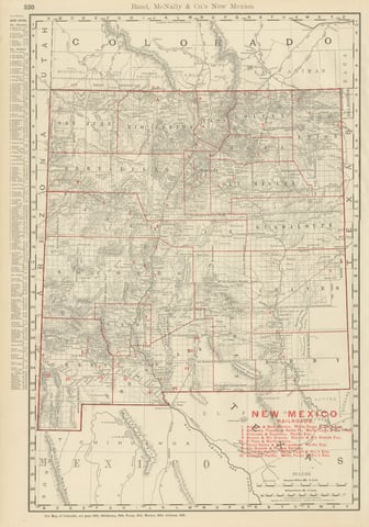
Antique Map of New Mexico Territory, Before Statehood, Rand McNally, 1899
1899 · Rand McNally
$440
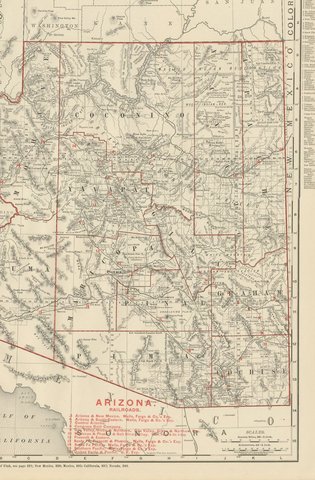
Antique Map of Arizona Territory, with the Grand Canyon, Rand McNally, 1899
1899 · Rand McNally
$440
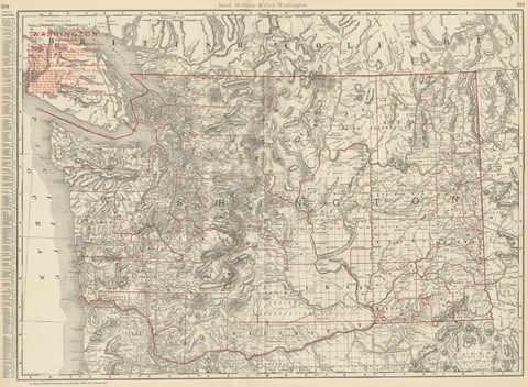
Antique Map of Washington State, The Evergreen State, Rand McNally, 1899
1899 · Rand McNally
$440
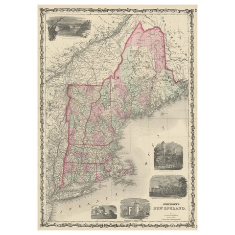
Large Antique Map of New England with decorative Vignettes
1861
$435