Original antique maps & prints of
The United States
★ 238 original pieces ★
Original maps, views and prints of the United States, from the colonial charts of the seventeenth century to the railroad atlases of the Gilded Age. Browse by state, by region or by period.
By State
Every state we hold, grouped by region
Territories
New England
Maine, New Hampshire, Vermont, Massachusetts, Rhode Island and Connecticut
36 pieces
Mid-Atlantic
New York, New Jersey, Pennsylvania, Delaware, Maryland and Washington, D.C.
91 pieces
The South
Virginia and the Carolinas to Florida, Louisiana and Tennessee
84 pieces
The Midwest
Ohio and the Great Lakes to Missouri and Minnesota
78 pieces
The Great Plains
Kansas, Nebraska, the Dakotas and Oklahoma
31 pieces
The Southwest
Texas, New Mexico and Arizona
29 pieces
The Mountain West
Colorado, Utah, Nevada, Idaho, Montana and Wyoming
36 pieces
The Pacific Coast
California, Oregon, Washington, Alaska and Hawaii
106 pieces
Puerto Rico
The United States territory in the Caribbean
4 pieces
★
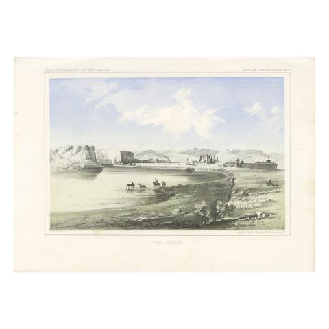
Historic Fort Benton Along the Missouri River – 19th Century Lithograph Print
$245
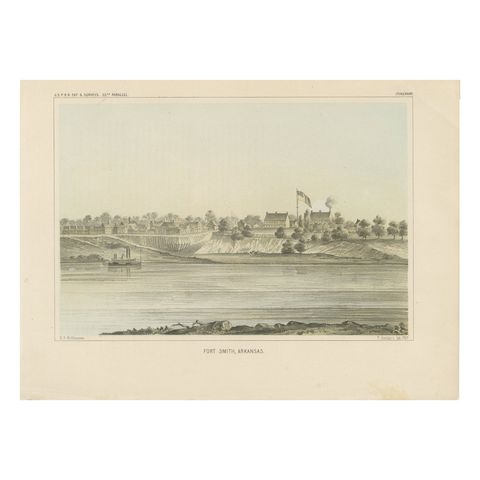
Fort Smith, Arkansas – Rare 19th Century Lithograph of Frontier History, 1856
1856
$245
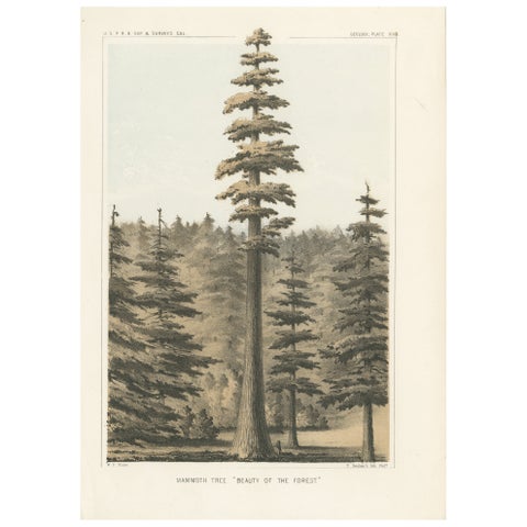
Towering Mammoth Tree in California: "Beauty of the Forest" Lithograph of 1856
1856
$245
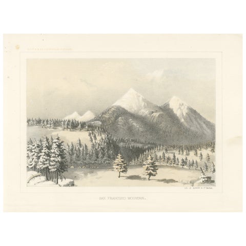
Snow-Capped San Francisco Mountain in the Heart of Arizona - Tinted Litho, 1856
1856
$245
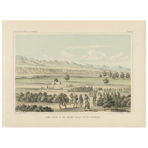
Vibrant Camp Scene in the Mojave Valley of Rio Colorado, 1856 Lithograph
1856
$245
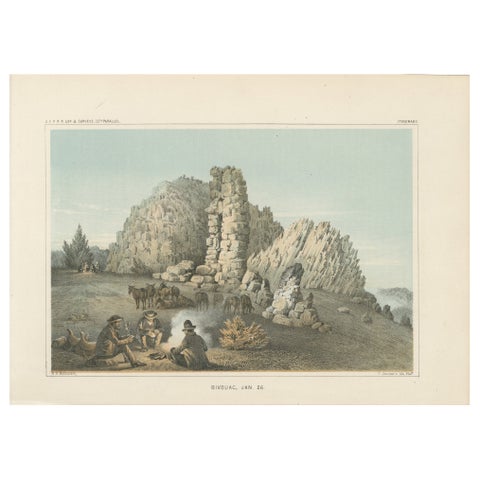
Evening Bivouac Amidst Rocky Ruins - A Glimpse Into 19th-Century Exploration
$245
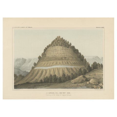
Striking Geological Illustration of a Conical Hill in the Laguna Colorado Valley
$245
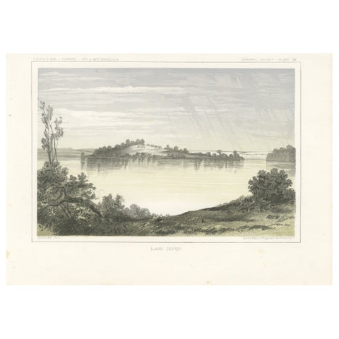
Serene Landscape of Lake Jessie in Dakota - Tinted Lithgraph Published in 1856
1856
$245
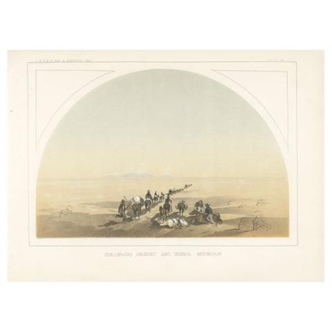
Trekking Through the Colorado Desert with Signal Mountain in the Distance, 1856
1856
$245
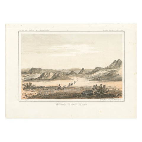
Scenic Expedition to Cadotte’s Pass in the Rocky Mountains, Tinted Litho of 1856
1856
$245
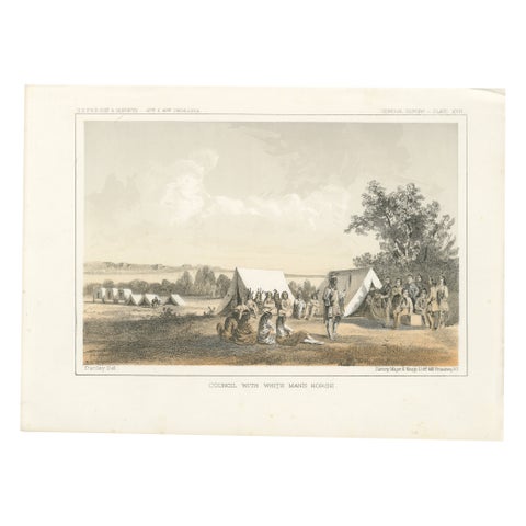
Historic Print of Blackfeet Council Near Missouri River Trading Posts - 1856
1856
$245
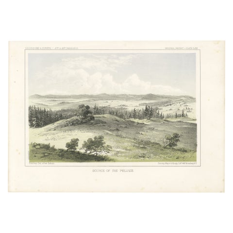
Scenic Lithograph of the Palouse Region in the Northwestern United States - 1856
1856
$245
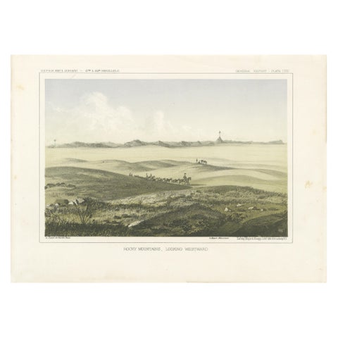
1856 Tinted Lithograph of the Expansive Rocky Mountain Plains: A View Westward
1856
$245
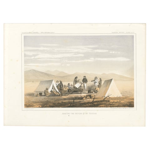
Pioneer Scene: Awaiting the Return of Mr. Tinkham in the American West, 1856
1856
$245
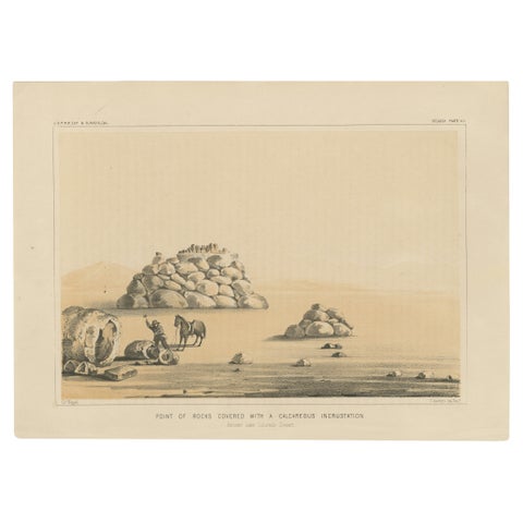
Geological Landmark: Point of Rocks in the Ancient Lake Colorado Desert, 1856
1856
$245
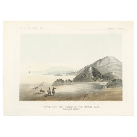
Geological Marvels of the Colorado Desert – Ancient Lake Shoreline, 1856
1856
$245
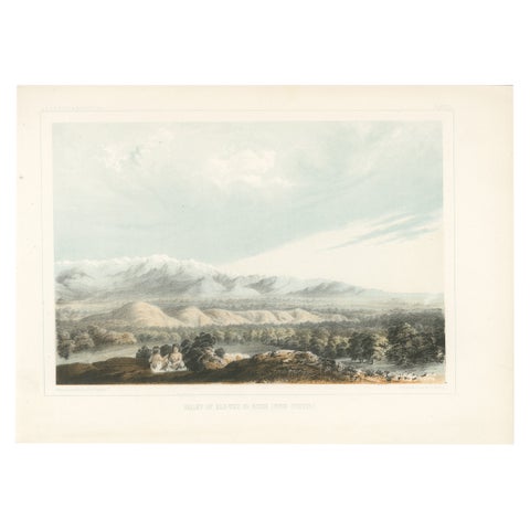
Scenic Valley of Kah-Wee-Ya River with Mountain Backdrop in California, 1856
1856
$245
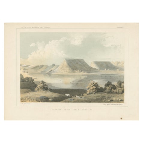
Scenic Canadian River Landscape, Camp 38 – Between Witchita and Oklahoma, 1856
1856
$245
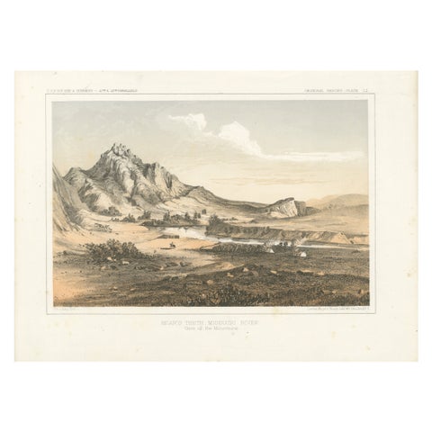
Depiction of Bear’s Teeth at the Missouri River - Gateway to the Rockies, 1856
1856
$245
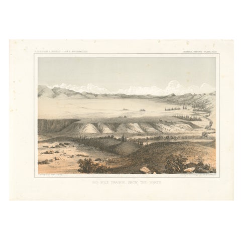
Big Hole Prairie View – Scenic Montana Landscape Print, Published in 1856
1856
$245
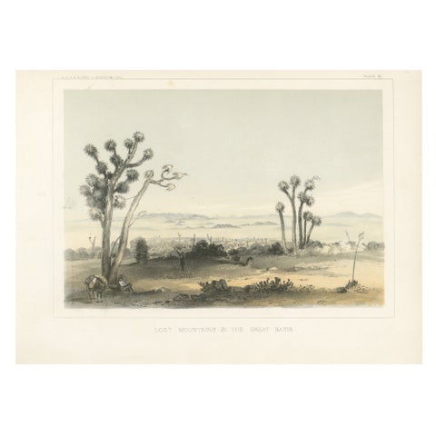
Lost Mountains in the Great Basin with Desert Flora - Mohane, California, 1856
1856
$245
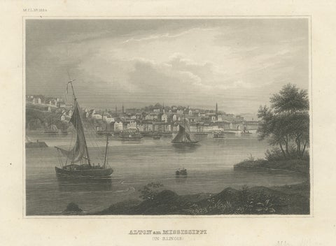
Antique Mississippi River View – Alton Illinois Steel Engraving, Meyers 1854
1854 · Meyer
$245
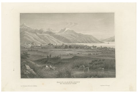
Antique Steel Engraving of Salt Lake City, Mormon Settlement, ca. 1850
1850
$245
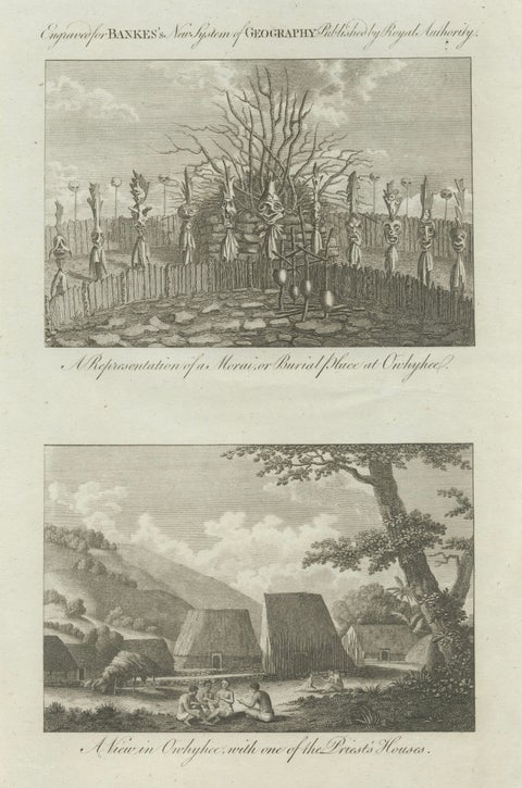
Hawaii Religious Site & Village Engravings, Owhyhee, Cook Voyage, c.1790
1790 · Captain Cook voyages
$245