Original antique maps & prints of
The United States
★ 583 original pieces ★
Original maps, views and prints of the United States, from the colonial charts of the seventeenth century to the railroad atlases of the Gilded Age. Browse by state, by region or by period.
By State
Every state we hold, grouped by region
Territories
New England
Maine, New Hampshire, Vermont, Massachusetts, Rhode Island and Connecticut
35 pieces
Mid-Atlantic
New York, New Jersey, Pennsylvania, Delaware, Maryland and Washington, D.C.
91 pieces
The South
Virginia and the Carolinas to Florida, Louisiana and Tennessee
84 pieces
The Midwest
Ohio and the Great Lakes to Missouri and Minnesota
78 pieces
The Great Plains
Kansas, Nebraska, the Dakotas and Oklahoma
31 pieces
The Southwest
Texas, New Mexico and Arizona
29 pieces
The Mountain West
Colorado, Utah, Nevada, Idaho, Montana and Wyoming
36 pieces
The Pacific Coast
California, Oregon, Washington, Alaska and Hawaii
106 pieces
Puerto Rico
The United States territory in the Caribbean
4 pieces
★
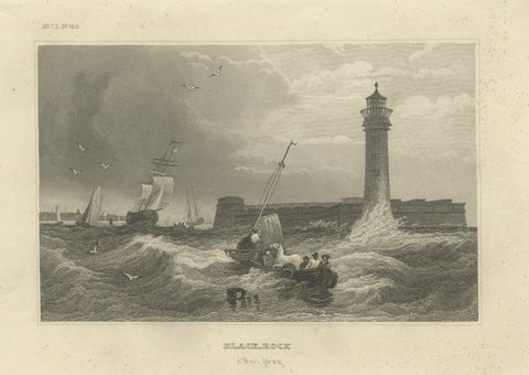
Black Rock New York Harbor Lighthouse – Antique Steel Engraving c.1850
1850 · Meyer
$255
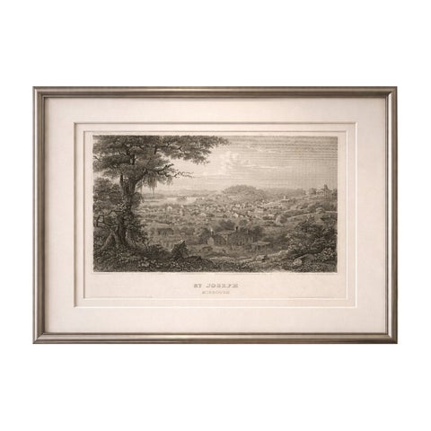
St Joseph Missouri Antique Print, River Town View, Steamboat c.1850
1850
$255
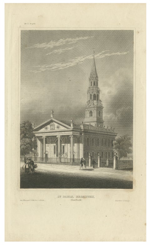
St Paul’s Broadway New York - Antique Engraving Church View, ca.1850
1850
$255
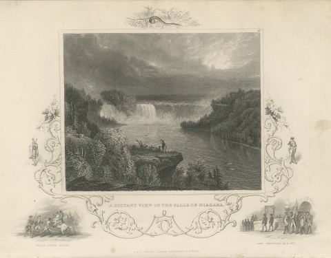
A Distant View of Niagara Falls, Major Andre Seized and Executed, circa 1850
circa 1850
$250
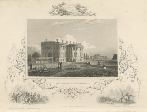
The President's House, Washington, Constitution Emblem, circa 1850
circa 1850
$250
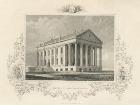
Capitol of Virginia, Richmond, Temple Front View, circa 1850
circa 1850
$250
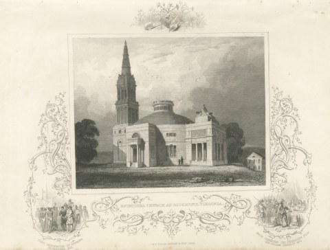
Episcopal Church at Richmond, Virginia, Bacon and Berkeley 1676, circa 1850
circa 1850
$250
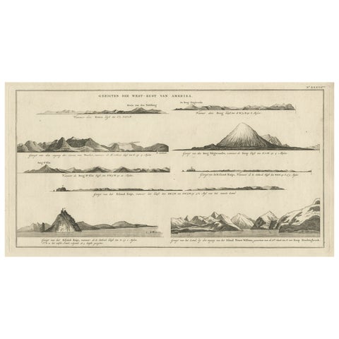
Early Coastal Views of Various Islands of the American West Coast, 1803
1803
$250
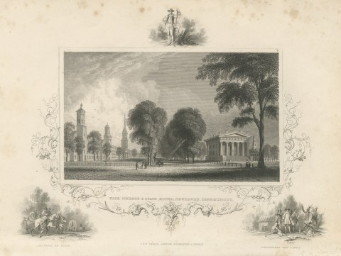
Yale College and State House, New Haven, Settlers En Route Vignette, circa 1850
circa 1850
$245
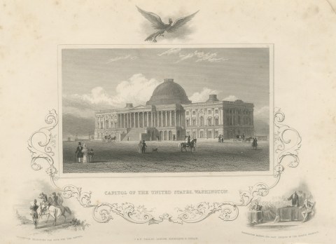
United States Capitol, Washington, Washington Selecting the Site, circa 1850
circa 1850
$245
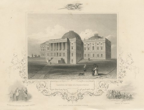
Capitol West Front, Washington, with Battle of Trenton Vignette, circa 1850
circa 1850
$245
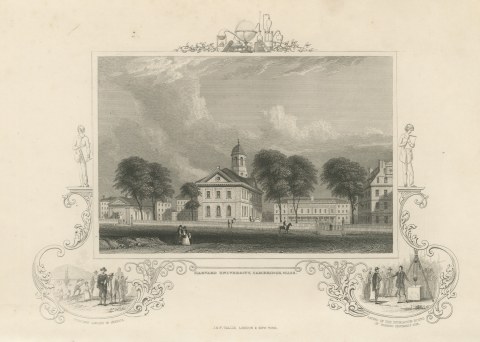
Harvard University, Cambridge, Puritans Landing in America Vignette, circa 1850
circa 1850
$245
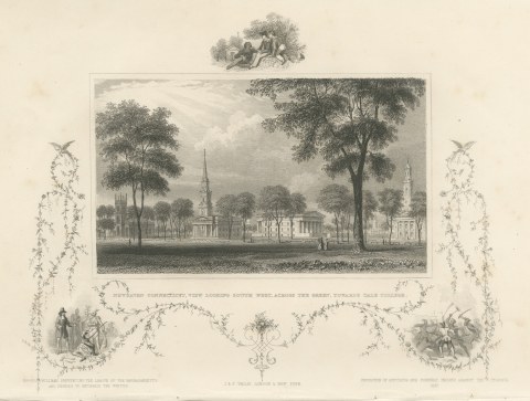
New Haven Green toward Yale College, Connecticut, Roger Williams, circa 1850
circa 1850
$245
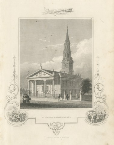
St. Paul's Chapel, Broadway, New York, Drawn by A. J. Davis, circa 1850
circa 1850
$245
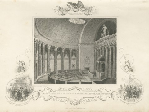
House of Representatives Interior, Washington, Drawn by W. Goodacre, circa 1850
circa 1850
$245
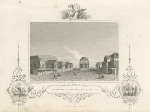
University of Virginia, Charlottesville, Surrender of Cornwallis, circa 1850
circa 1850
$245
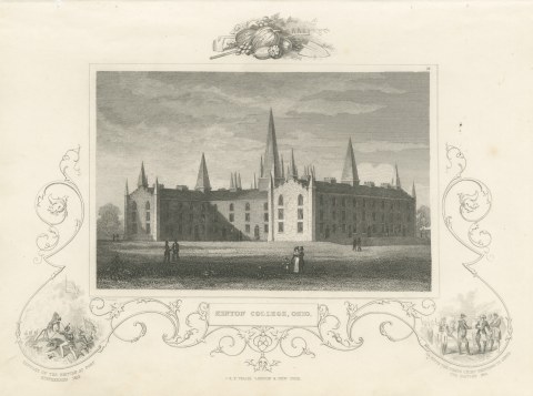
Kenyon College, Gambier, Ohio, with Fort Stephenson 1813 Vignette, circa 1850
circa 1850
$245
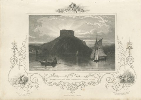
Ruins of the Old Fort, Conanicut, Rhode Island, after W. G. Wall, circa 1850
circa 1850
$245
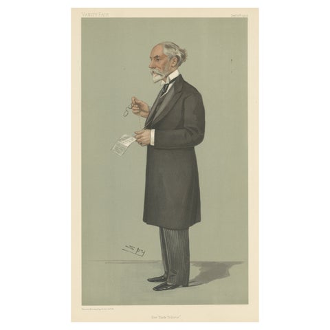
Chromolithograph Vanity Fair Caricature Print 'New York Tribune'
1902
$245
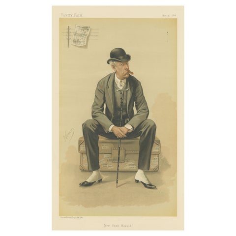
Chromolithograph Vanity Fair Caricature Print 'New York Herald'
1884
$245
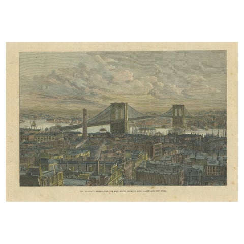
The Brooklyn Bridge Over the East River, Between Long Island and New York, 1883
1883
$245
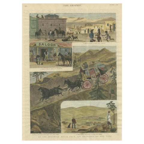
The Southern Route From San Francisco to New York Published in The Graphic, 1887
1887
$245
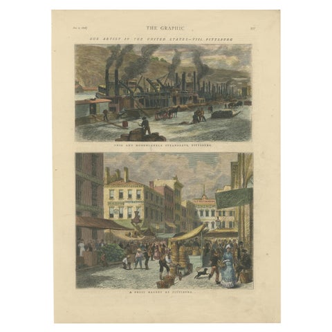
Industrial and Daily Life in Pittsburg - Published in The Graphic, 1876.
1876
$245
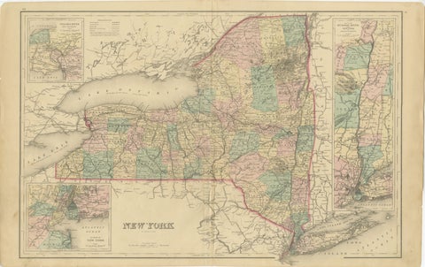
1876 Antique Map of New York State with Niagara and Hudson River Insets
1876 · S. Augustus Mitchell
$245