Original antique maps & prints of
The United States
★ 585 original pieces ★
Original maps, views and prints of the United States, from the colonial charts of the seventeenth century to the railroad atlases of the Gilded Age. Browse by state, by region or by period.
By State
Every state we hold, grouped by region
Territories
New England
Maine, New Hampshire, Vermont, Massachusetts, Rhode Island and Connecticut
36 pieces
Mid-Atlantic
New York, New Jersey, Pennsylvania, Delaware, Maryland and Washington, D.C.
91 pieces
The South
Virginia and the Carolinas to Florida, Louisiana and Tennessee
84 pieces
The Midwest
Ohio and the Great Lakes to Missouri and Minnesota
78 pieces
The Great Plains
Kansas, Nebraska, the Dakotas and Oklahoma
32 pieces
The Southwest
Texas, New Mexico and Arizona
30 pieces
The Mountain West
Colorado, Utah, Nevada, Idaho, Montana and Wyoming
37 pieces
The Pacific Coast
California, Oregon, Washington, Alaska and Hawaii
107 pieces
Puerto Rico
The United States territory in the Caribbean
4 pieces
★
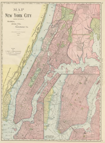
Antique Map of Manhattan, New York City, with Central Park, Rand McNally, 1899
1899 · Rand McNally
$555
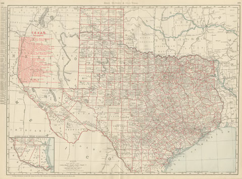
Antique Map of Texas, The Lone Star State, Rand McNally, 1899
1899 · Rand McNally
$555
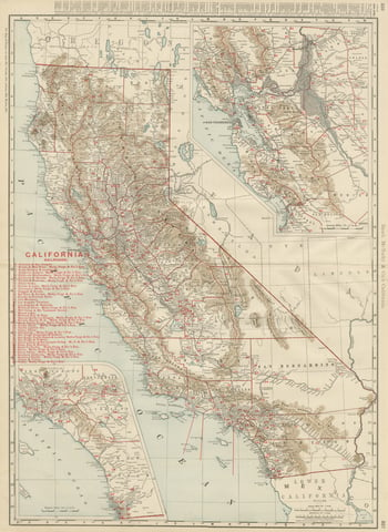
Antique Map of California, The Golden State, Rand McNally, 1899
1899 · Rand McNally
$555
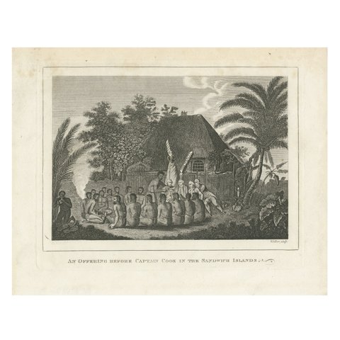
The Ceremonial Offering to Captain Cook in Hawaii, Engraved in 1778
1778 · Captain Cook voyages
$550
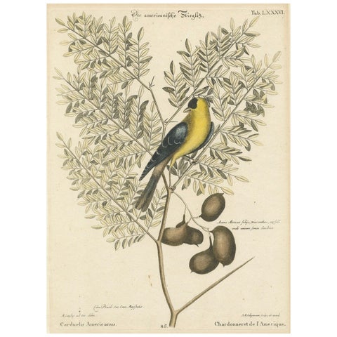
Bird Print of an American Goldfinch on a Branch Engraved and Hand-Colored, 1749
1749
$550
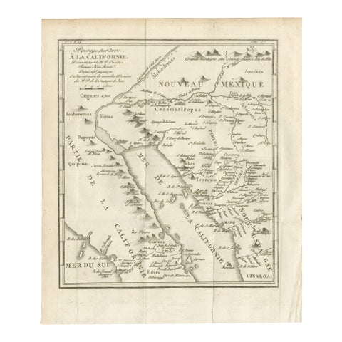
Old Map of the Overland Route to California – Early Exploration Pathways, 1701
1701
$550
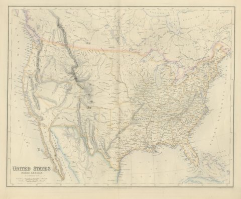
Antique Map of the United States with Oregon Territory, circa 1860
circa 1860
$545
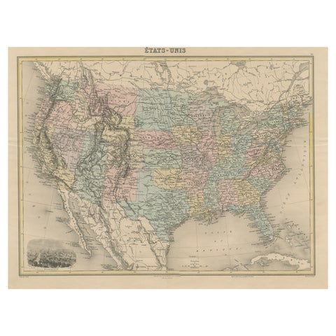
Antique Map of the United States with Vignette of Washington
circa 1875
$535
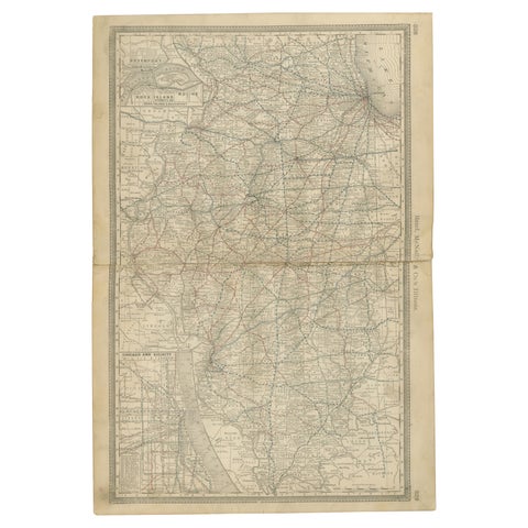
Detailed Antique Map of Illinois – Railroads, Cities & Counties, 1888
1888 · Rand McNally
$535
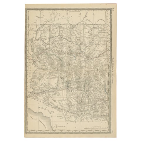
Rare 1888 Map of Arizona – Railroads, Mines & Early Frontier Settlements
1888 · Rand McNally
$535
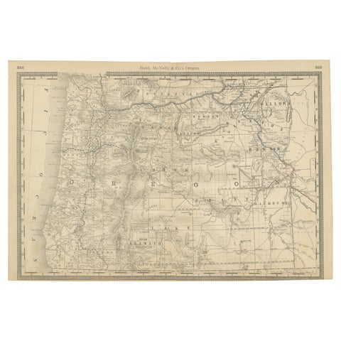
1888 Antique Map of Oregon – Railroads, Counties & Native Indian Reservations
1888 · Rand McNally
$535
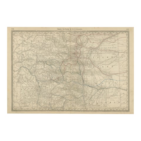
1888 Colorado Map – The Centennial State’s Railroads, Mines & Counties
1888 · Rand McNally
$535
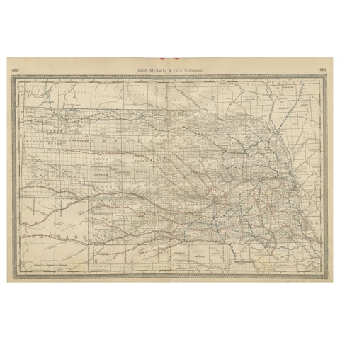
Nebraska Railroad Map 1888 – Rand McNally Antique Lithograph
1888 · Rand McNally
$535
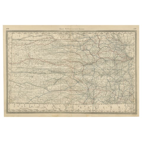
Kansas Railroad Map 1888 – Rand McNally Antique Lithograph
1888 · Rand McNally
$535
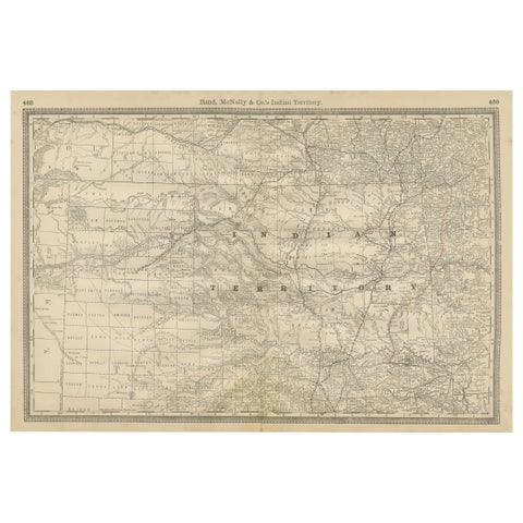
Indian Territory Map 1888 – Rand McNally Antique Lithograph
1888 · Rand McNally
$535
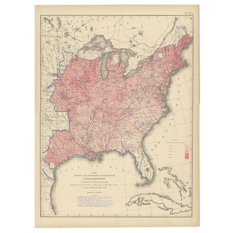
Antique Chart of the US Consumption Deaths, '1874'
1874
$525
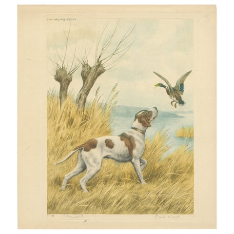
Vintage Hunting Dog Lithograph “Pointer & Mallard” by Paul Wood – New York, 1930
1930
$525
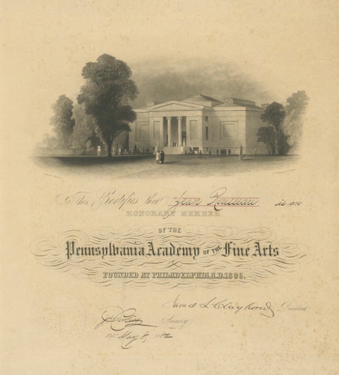
Pennsylvania Academy of the Fine Arts Honorary Membership Certificate, 1882
1882
$525
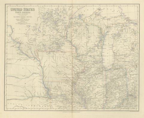
Antique Map of the North Central United States and Lake Michigan, circa 1860
circa 1860
$520
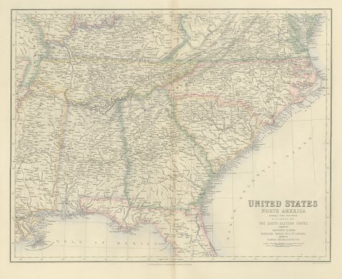
Antique Map of the South Eastern United States with Cape Hatteras, circa 1860
circa 1860
$520
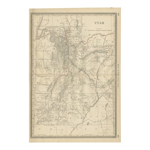
Rare 1888 Utah Map – The Beehive State’s Railroads, Counties & Great Salt Lake
1888 · Rand McNally
$515
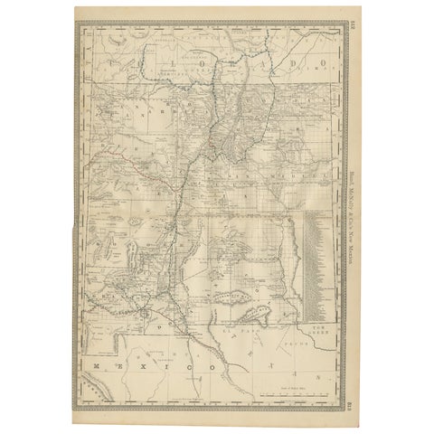
1888 New Mexico Map – Railroads, Counties & The Land of Enchantment
1888 · Rand McNally
$515
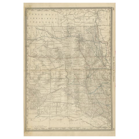
Dakota Territory Railroad Map 1888 – Rand McNally Antique Lithograph
1888 · Rand McNally
$515
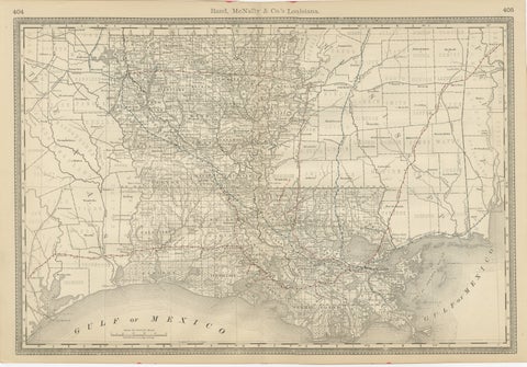
Louisiana Antique Map 1888 – The Pelican State, Railroads & Counties
1888 · Rand McNally
$515