Original antique maps & prints of
The United States
★ 238 original pieces ★
Original maps, views and prints of the United States, from the colonial charts of the seventeenth century to the railroad atlases of the Gilded Age. Browse by state, by region or by period.
By State
Every state we hold, grouped by region
Territories
New England
Maine, New Hampshire, Vermont, Massachusetts, Rhode Island and Connecticut
36 pieces
Mid-Atlantic
New York, New Jersey, Pennsylvania, Delaware, Maryland and Washington, D.C.
91 pieces
The South
Virginia and the Carolinas to Florida, Louisiana and Tennessee
84 pieces
The Midwest
Ohio and the Great Lakes to Missouri and Minnesota
78 pieces
The Great Plains
Kansas, Nebraska, the Dakotas and Oklahoma
32 pieces
The Southwest
Texas, New Mexico and Arizona
30 pieces
The Mountain West
Colorado, Utah, Nevada, Idaho, Montana and Wyoming
37 pieces
The Pacific Coast
California, Oregon, Washington, Alaska and Hawaii
107 pieces
Puerto Rico
The United States territory in the Caribbean
4 pieces
★
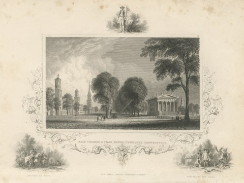
Yale College and State House, New Haven, Settlers En Route Vignette, circa 1850
circa 1850
$245
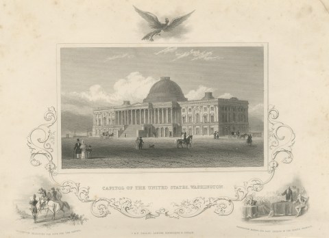
United States Capitol, Washington, Washington Selecting the Site, circa 1850
circa 1850
$245
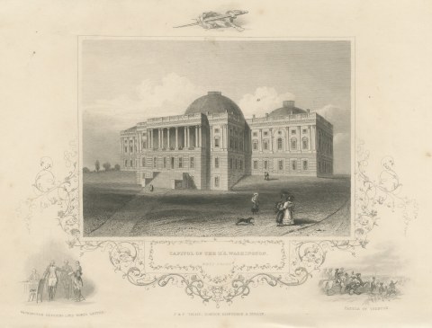
Capitol West Front, Washington, with Battle of Trenton Vignette, circa 1850
circa 1850
$245
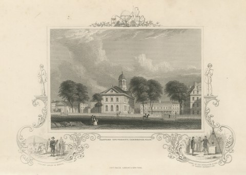
Harvard University, Cambridge, Puritans Landing in America Vignette, circa 1850
circa 1850
$245
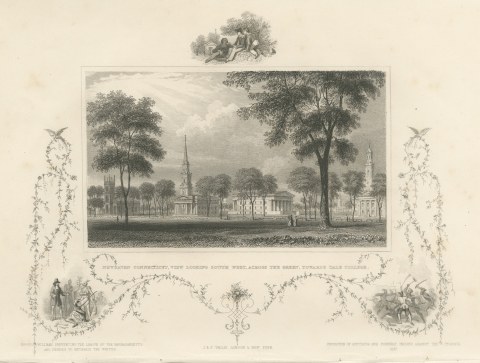
New Haven Green toward Yale College, Connecticut, Roger Williams, circa 1850
circa 1850
$245
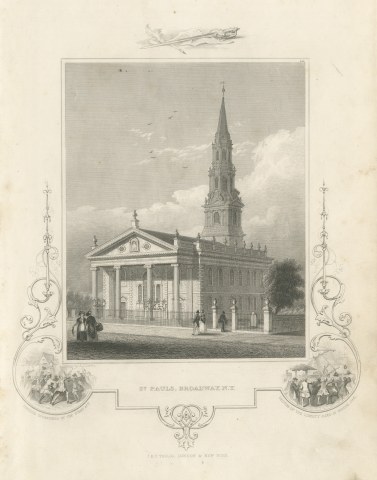
St. Paul's Chapel, Broadway, New York, Drawn by A. J. Davis, circa 1850
circa 1850
$245
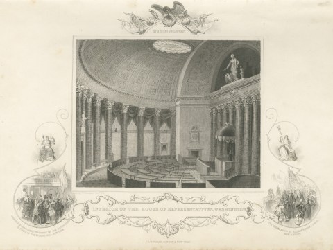
House of Representatives Interior, Washington, Drawn by W. Goodacre, circa 1850
circa 1850
$245
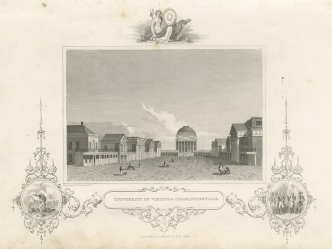
University of Virginia, Charlottesville, Surrender of Cornwallis, circa 1850
circa 1850
$245
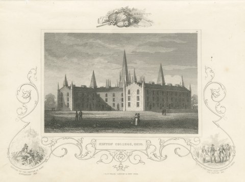
Kenyon College, Gambier, Ohio, with Fort Stephenson 1813 Vignette, circa 1850
circa 1850
$245
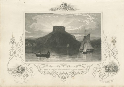
Ruins of the Old Fort, Conanicut, Rhode Island, after W. G. Wall, circa 1850
circa 1850
$245
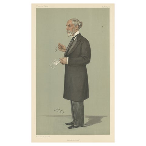
Chromolithograph Vanity Fair Caricature Print 'New York Tribune'
1902
$245
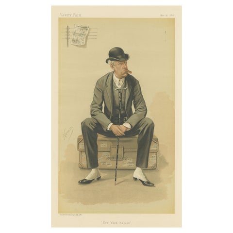
Chromolithograph Vanity Fair Caricature Print 'New York Herald'
1884
$245
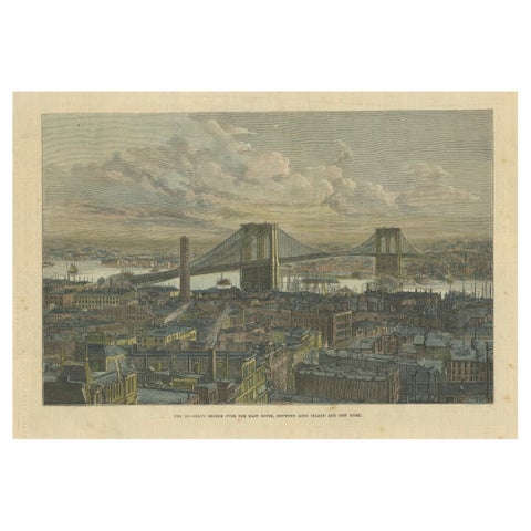
The Brooklyn Bridge Over the East River, Between Long Island and New York, 1883
1883
$245
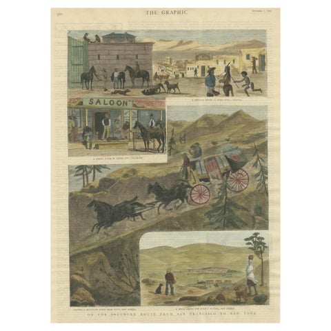
The Southern Route From San Francisco to New York Published in The Graphic, 1887
1887
$245
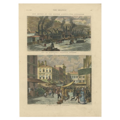
Industrial and Daily Life in Pittsburg - Published in The Graphic, 1876.
1876
$245
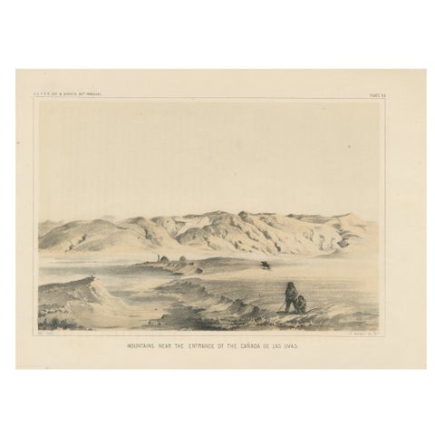
Scenic Tinted Lithograph of California’s Mountains Near Canada de las Uvas, 1856
1856
$245
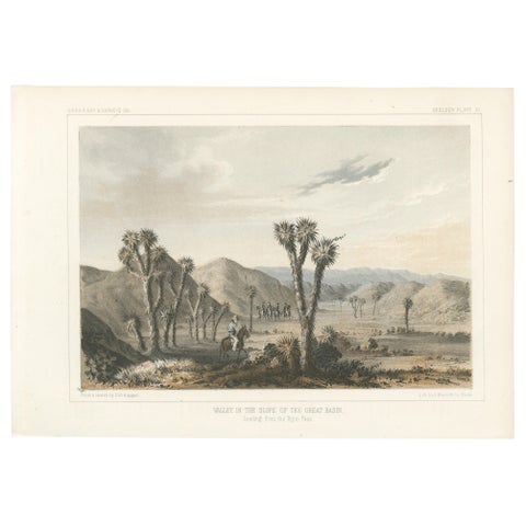
Tinted Lithograph of Valley in the Slope of the Great Basin in California, 1856
1856
$245
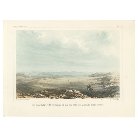
Tinted Lithograph of the Great Basin from Canada de las Uvas, 1856
1856
$245
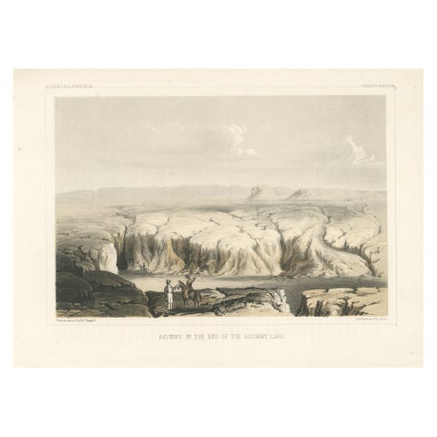
Tinted Lithograph of Ravines in the Bed of the Ancient Lake in the USA, 1856
1856
$245
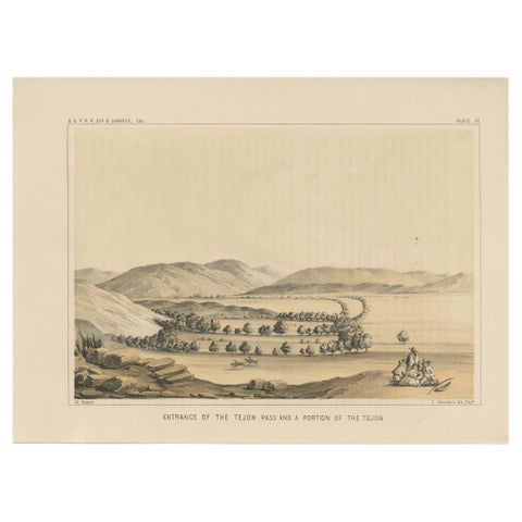
1856 Tinted Lithograph of the Tejon Pass near Bakersfield and Mojave, California
1856
$245
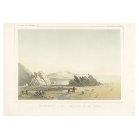
Tinted Litho of Metamorphic Rocks at the Border of the Colorado Desert, 1856
1856
$245
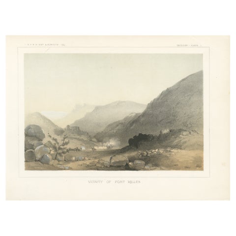
1856 Tinted Litho of the Vicinity of Fort Miller, Southeast of Fresno California
1856
$245
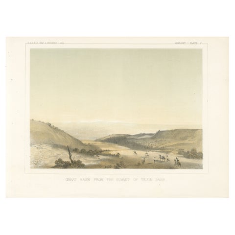
Lithograph of the Great Basin from the Summit of Tejon Pass, California, 1856
1856
$245
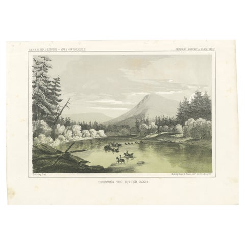
Crossing the Bitter Root River in Western Montana, USA - Tinted Lithograph, 1856
1856
$245