Original antique maps & prints of
The United States
★ 585 original pieces ★
Original maps, views and prints of the United States, from the colonial charts of the seventeenth century to the railroad atlases of the Gilded Age. Browse by state, by region or by period.
By State
Every state we hold, grouped by region
Territories
New England
Maine, New Hampshire, Vermont, Massachusetts, Rhode Island and Connecticut
36 pieces
Mid-Atlantic
New York, New Jersey, Pennsylvania, Delaware, Maryland and Washington, D.C.
91 pieces
The South
Virginia and the Carolinas to Florida, Louisiana and Tennessee
84 pieces
The Midwest
Ohio and the Great Lakes to Missouri and Minnesota
78 pieces
The Great Plains
Kansas, Nebraska, the Dakotas and Oklahoma
32 pieces
The Southwest
Texas, New Mexico and Arizona
30 pieces
The Mountain West
Colorado, Utah, Nevada, Idaho, Montana and Wyoming
37 pieces
The Pacific Coast
California, Oregon, Washington, Alaska and Hawaii
107 pieces
Puerto Rico
The United States territory in the Caribbean
4 pieces
★
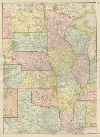
Antique Map of the Central United States, Chicago to Denver, Rand McNally, 1899
1899 · Rand McNally
$440
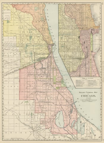
Antique Map of Chicago Railway Terminals, The Windy City, Rand McNally, 1899
1899 · Rand McNally
$440
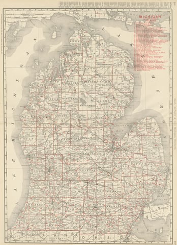
Antique Map of Michigan, The Great Lakes State, Rand McNally, 1899
1899 · Rand McNally
$440
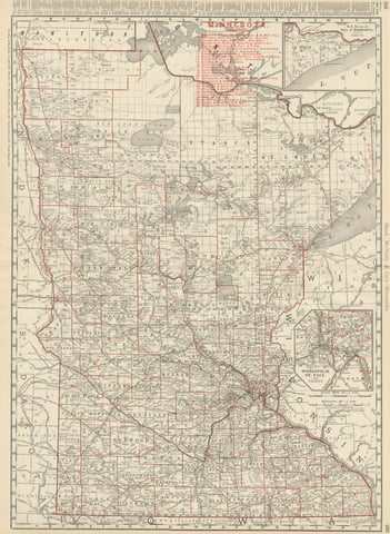
Antique Map of Minnesota, The North Star State, Rand McNally, 1899
1899 · Rand McNally
$440
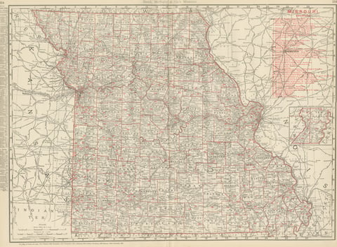
Antique Map of Missouri, The Show-Me State, Rand McNally, 1899
1899 · Rand McNally
$440
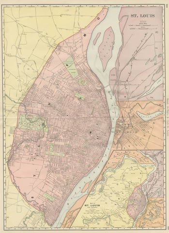
Antique Map of St. Louis, with Forest Park, Rand McNally, 1899
1899 · Rand McNally
$440
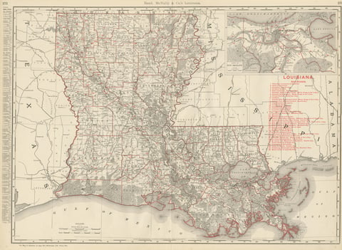
Antique Map of Louisiana, The Pelican State, Rand McNally, 1899
1899 · Rand McNally
$440
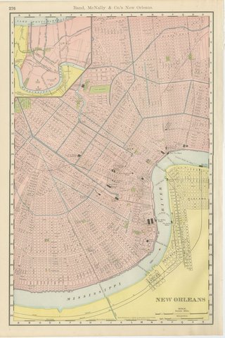
Antique Map of New Orleans, The Crescent City, Rand McNally, 1899
1899 · Rand McNally
$440
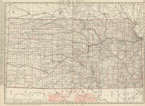
Antique Map of Kansas, The Sunflower State, Rand McNally, 1899
1899 · Rand McNally
$440
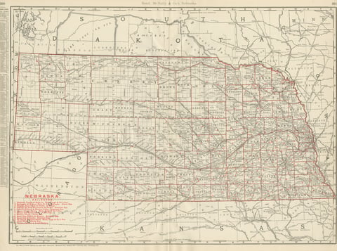
Antique Map of Nebraska, The Cornhusker State, Rand McNally, 1899
1899 · Rand McNally
$440
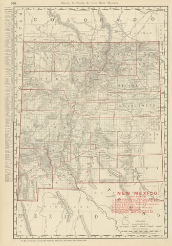
Antique Map of New Mexico Territory, Before Statehood, Rand McNally, 1899
1899 · Rand McNally
$440
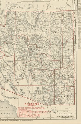
Antique Map of Arizona Territory, with the Grand Canyon, Rand McNally, 1899
1899 · Rand McNally
$440
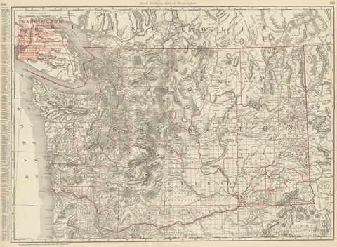
Antique Map of Washington State, The Evergreen State, Rand McNally, 1899
1899 · Rand McNally
$440
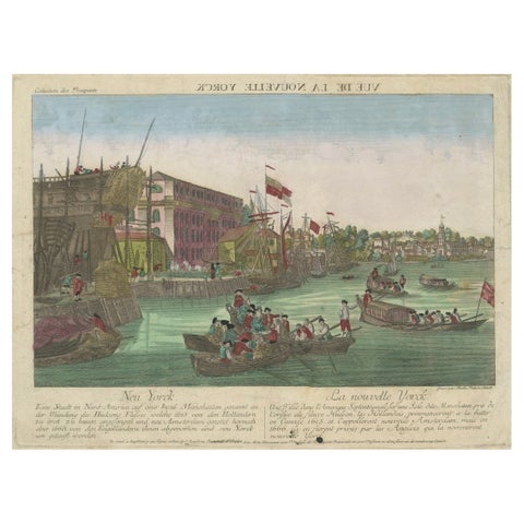
Optical View of New York City Manhattan Harbor Hand-Colored Augsburg - ca.1775
1775
$440
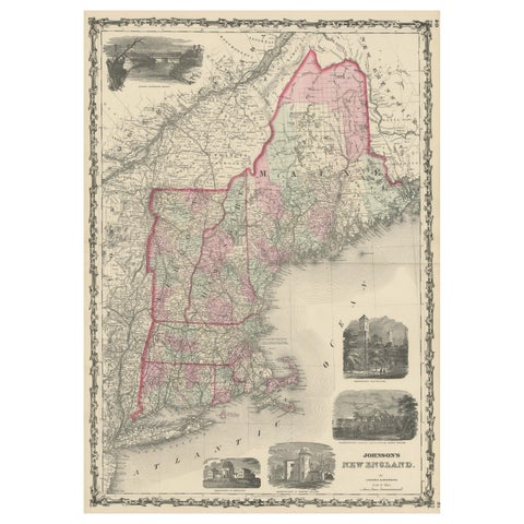
Large Antique Map of New England with decorative Vignettes
1861
$435
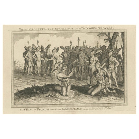
Pre-Battle Rituals: The King of Florida and His Magician, ca.1780
1780
$435
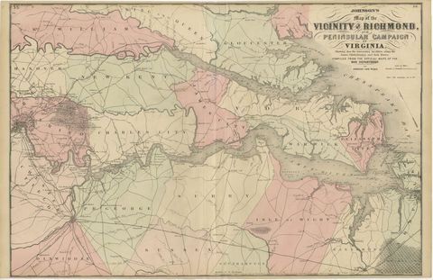
1862 Johnson's Map of the Vicinity of Richmond & Peninsular Campaign, Virginia
1862
$435
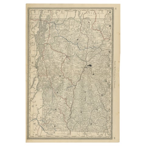
Antique Vermont Map Wall Art – Railroads, Mountains & Towns, Rand McNally, 1888
1888 · Rand McNally
$435
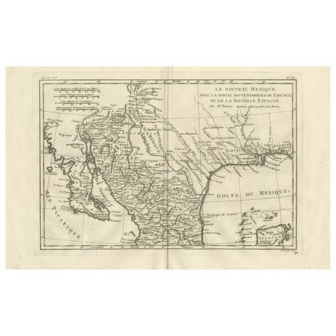
New Mexico & Northern New Spain – Enlightenment Map by Rigobert Bonne, c.1780
1780 · Rigobert Bonne
$435
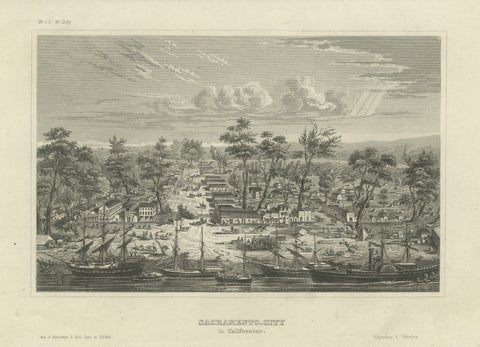
Sacramento City California – Antique Gold Rush Port Steel Engraving, ca.1850
1850 · Meyer
$435
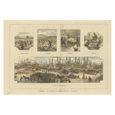
Antique Print Showing the Cotton Cultivation and Trade in America, Ca.1900
1900
$425
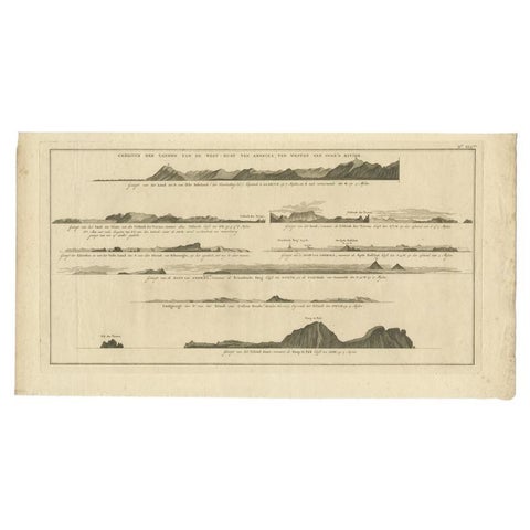
Antique Print with Coastal Views of Islands Near The American Coast by Cook
Captain Cook voyages
$425
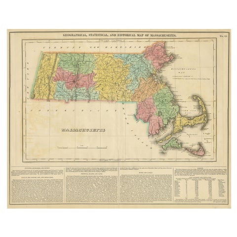
Antique Geographical, Historical and Statistical Map of Massachusetts, 1822
1822
$425
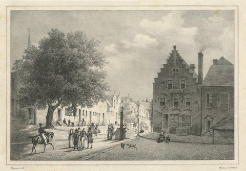
Albany, New York Street View, Original Lithograph after Tirpenne, c. 1840
1840
$425