americanmapsandprints.com
✦
Black Friday Sale now on
Up to 30% off original antique maps and prints, until Monday 30 November
The terms
- Up to 30% off selected original antique maps and prints. Every piece is an original, printed in its own time; none is a reproduction.
- The sale runs until Monday 30 November. Prices revert on Tuesday 1 December.
- Free FedEx shipping on qualifying orders placed on our own websites: USA, Canada, UK and Europe over $500 / €450; rest of the world over $750 / €675. Smaller orders pay our normal shipping rate.
- Orders placed from 15 to 30 November ship from 1 December, in time for Christmas. Our shipping partner is InXpress.
- Each piece is unique, so the sale is while stock lasts.
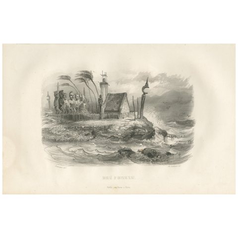 Antique Print of the Hale o Keawe of Hawaii by D'Urville, 1853
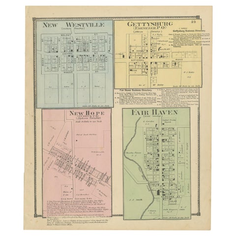 Antique Map of New Westville, Gettysburg, New Hope & Fair Haven, 1871
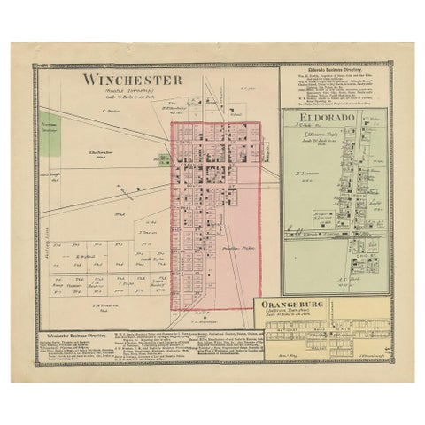 Antique Map of Winchester, Eldorado & Orangeburg, 1871
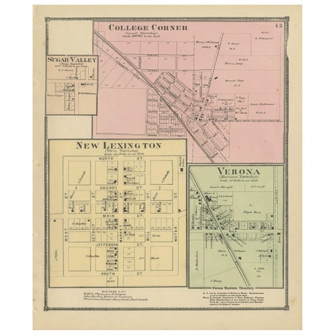 Antique Map of College Corner, Sugar Valley, New Lexington & Verona '1871'
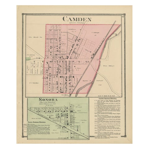 Antique Map of Camden and Sonora, 1871
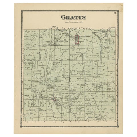 Antique Map of Gratis 'Ohio' by Titus '1871'
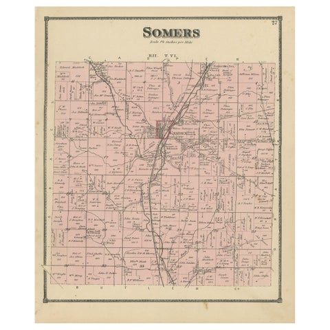 Antique Map of the Somers Township of Ohio by Titus, 1871
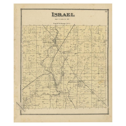 Antique Map of the Israel Township of Ohio by Titus '1871'
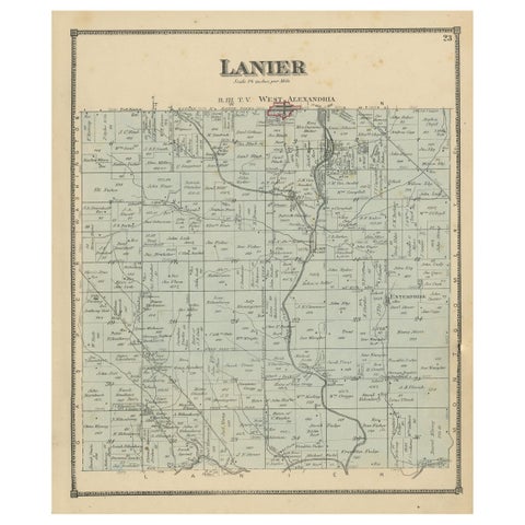 Antique Map of the Lanier Township of Ohio by Titus, 1871
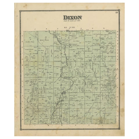 Antique Map of the Dixon Township of Ohio by Titus, 1871
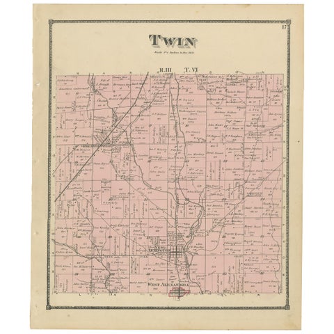 Antique Map of the Twin Township of Ohio by Titus '1871'
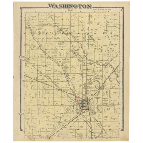 Antique Map of Washington County 'Ohio' by Titus, 1871
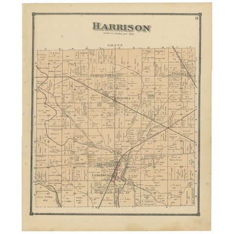 Antique Map of Harrison County 'Ohio' by Titus, 1871
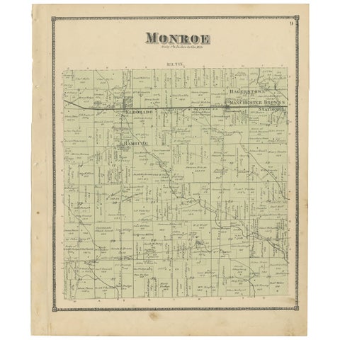 Antique Map of Monroe County 'Ohio' by Titus '1871'
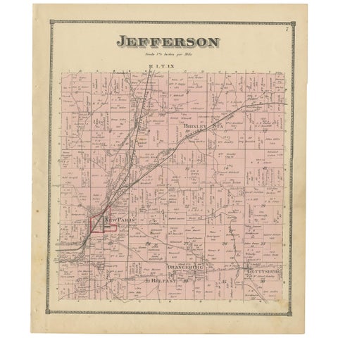 Antique Map of Jefferson County 'Ohio' by Titus, 1871
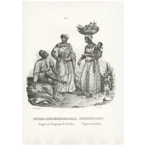 Antique Print of Natives of Bahia and Rio by Honegger (1845)
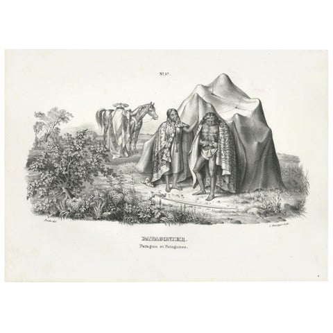 Antique Print of Natives of Patagonia by Honegger (1845)
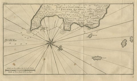 Antique Map of Coiba Island by Anson '1749'
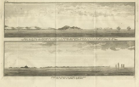 Antique Print of Petatlan and Coiba Island by Anson, '1749'
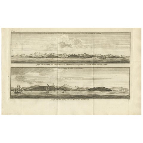 Antique Print of Zihuatanejo and the Harbour of Acapulco by Anson '1749'
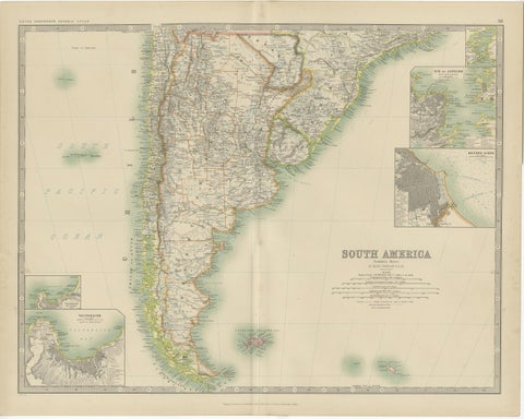 Antique Map of South America by Johnston '1909'
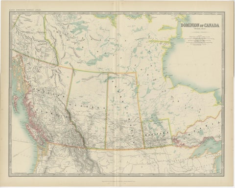 Antique Map of Canada by Johnston '1909'
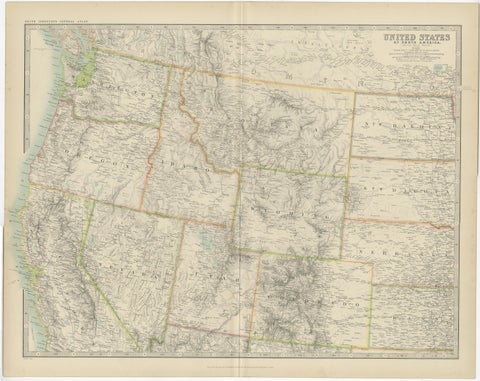 Antique Map of the United States 'North West' by Johnston, '1909'
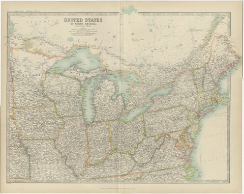 Antique Map of the United States ' North East ' by Johnston '1909'
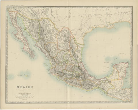 Antique Map of Mexico by Johnston, '1909'
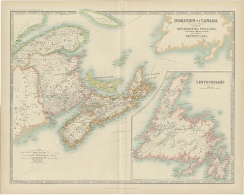 Antique Map of Canada by Johnston '1909'
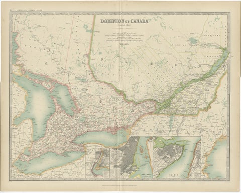 Antique Map of Canada by Johnston '1909'
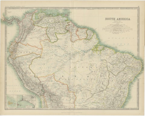 Exploring South America's North: Antique Map from the Royal Atlas of 1909
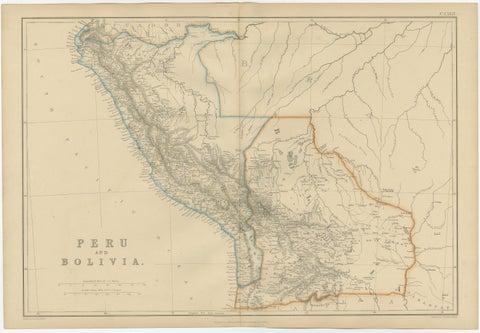 Antique Map of Peru and Bolivia by W. G. Blackie, 1859
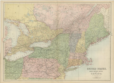 Antique Map of The United States and Canada by A & C. Black, 1870
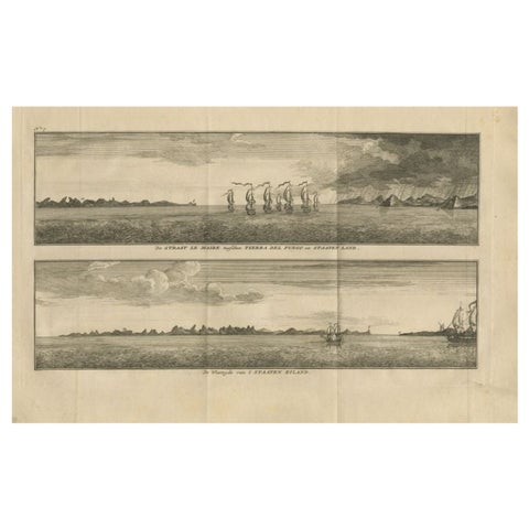 Antique Print with Views of Staten Island and Tierra Del Fuego, 1749
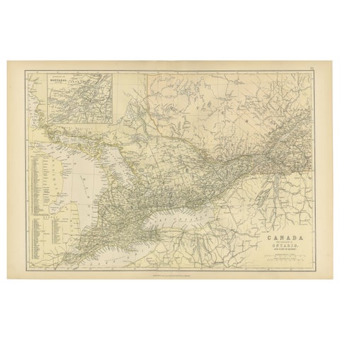 Antique Map of Canada, The Province of Ontario and Part of Quebec, 1882
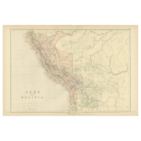 Antique 1882 Antique Map of Peru and Bolivia: Andes Mountains and Amazon Rivers
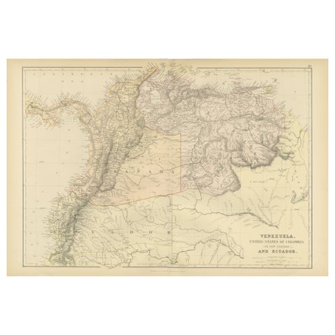 Antique 1882 Map of Venezuela, Colombia (New Granada), and Ecuador
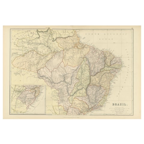 1882 Map of Brazil: Historic Borders, River Systems, and Coastal Regions
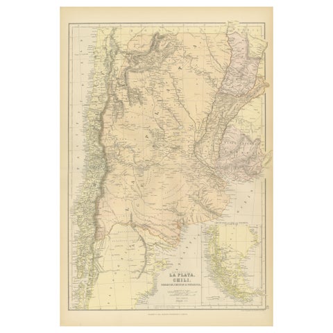 1882 Map of Argentina, La Plata, Chile, Paraguay, Uruguay, and Patagonia
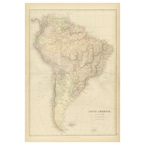 1882 Detailed Map of South America showing Political and Geographical Features
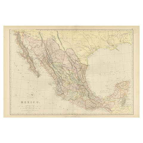 1882 Antique Map of Mexico Highlighting Geographical and Political Boundaries
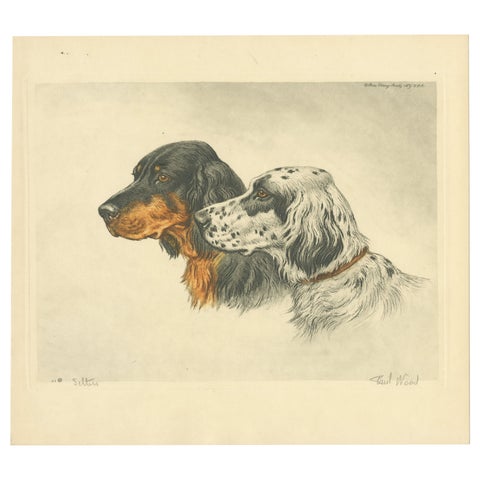 Setters Vintage Dog Portrait Lithograph, Paul Wood, 1930s, Signed
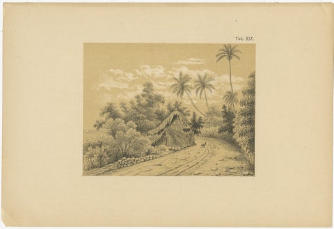 Antique Venezuela La Guaira Landscape - Dutch Colonial Tinted Lithograph, 1888
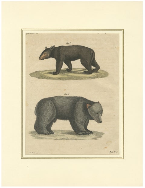 Antique Tapir & Bear Zoological Engraving – Bertuch, c. 1800
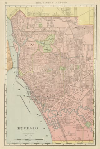 Antique Map of Buffalo, New York, on Lake Erie, Rand McNally, 1899
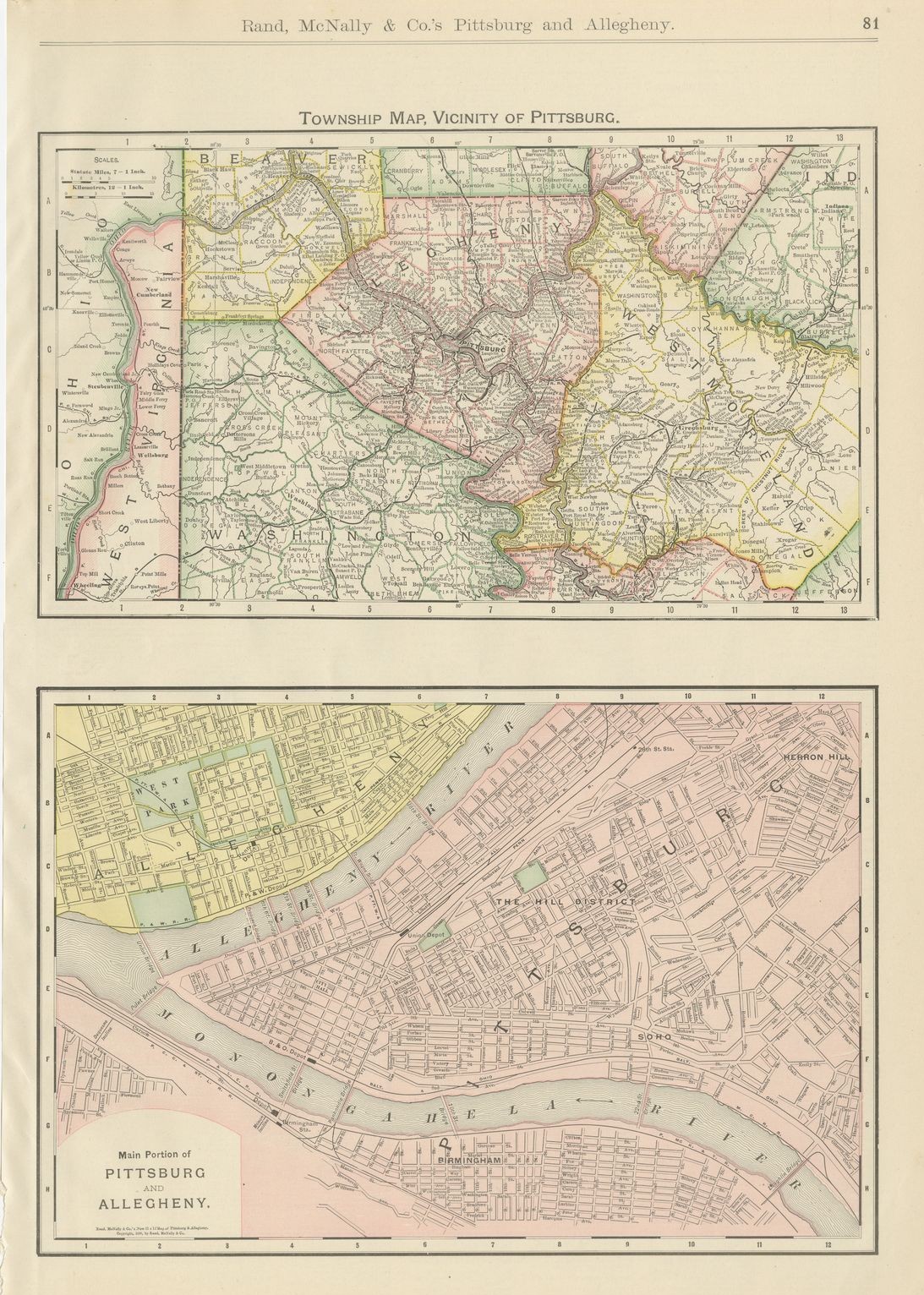 Antique Map of Pittsburg and Allegheny, The Steel City, Rand McNally, 1899
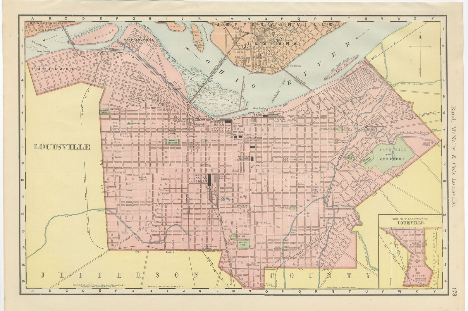 Antique Map of Louisville, Kentucky, on the Ohio River, Rand McNally, 1899
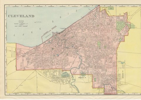 Antique Map of Cleveland, The Forest City, Rand McNally, 1899
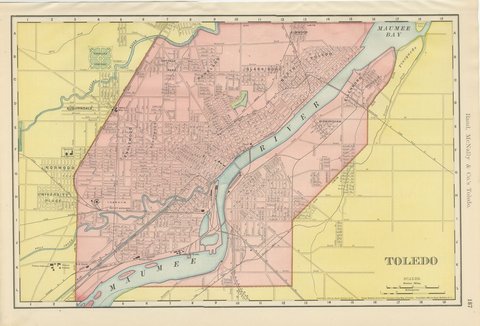 Antique Map of Toledo, Ohio, with Maumee Bay, Rand McNally, 1899
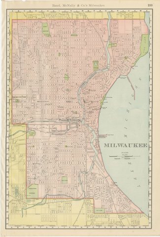 Antique Map of Milwaukee, The Cream City, Rand McNally, 1899
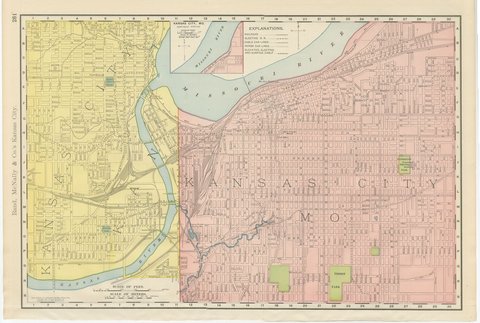 Antique Map of Kansas City, at the Kaw River Confluence, Rand McNally, 1899