Original antique maps & prints of
The United States
★ 267 original pieces ★
Original maps, views and prints of the United States, from the colonial charts of the seventeenth century to the railroad atlases of the Gilded Age. Browse by state, by region or by period.
By State
Every state we hold, grouped by region
Territories
New England
Maine, New Hampshire, Vermont, Massachusetts, Rhode Island and Connecticut
36 pieces
Mid-Atlantic
New York, New Jersey, Pennsylvania, Delaware, Maryland and Washington, D.C.
91 pieces
The South
Virginia and the Carolinas to Florida, Louisiana and Tennessee
84 pieces
The Midwest
Ohio and the Great Lakes to Missouri and Minnesota
78 pieces
The Great Plains
Kansas, Nebraska, the Dakotas and Oklahoma
31 pieces
The Southwest
Texas, New Mexico and Arizona
29 pieces
The Mountain West
Colorado, Utah, Nevada, Idaho, Montana and Wyoming
36 pieces
The Pacific Coast
California, Oregon, Washington, Alaska and Hawaii
106 pieces
Puerto Rico
The United States territory in the Caribbean
4 pieces
★
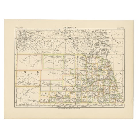
Antique Map of Nebraska
1884
$325
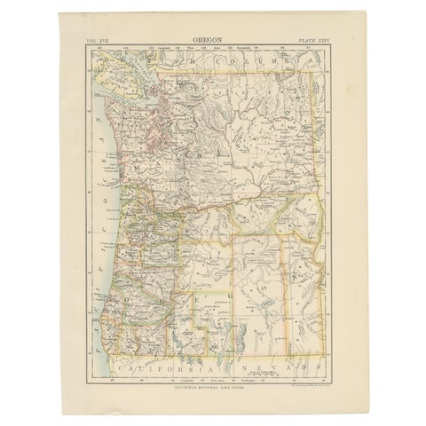
Antique Map of Oregon
1884
$325
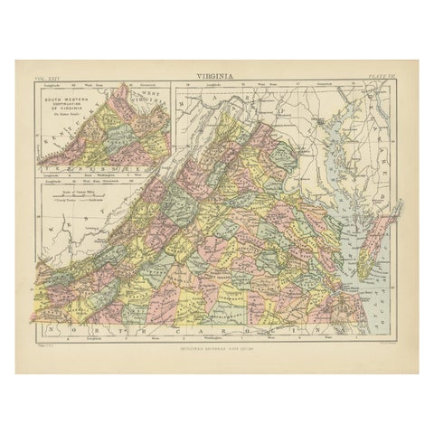
Antique Map of Virginia, with Inset Map of the South Western Continuation
1888
$325
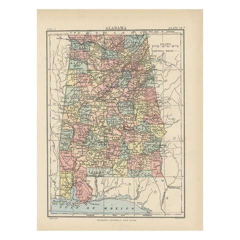
Antique Map of Alabama
1875
$325
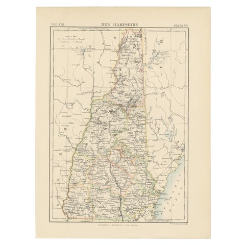
Antique Map of New Hampshire
1884
$325
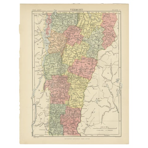
Antique Map of Vermont
1888
$325
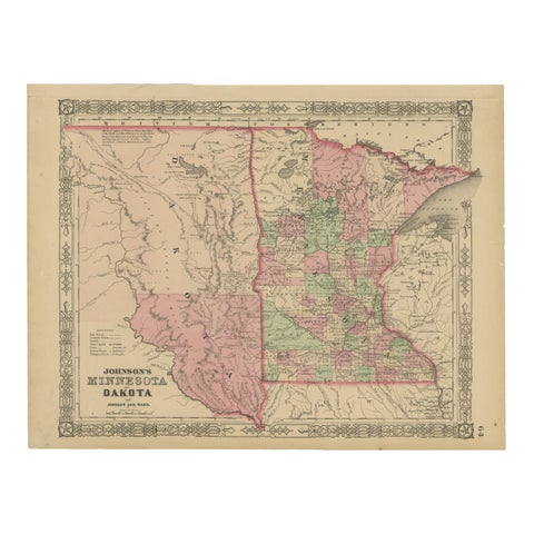
Minnesota and Dakota Map – Johnson, Hand-Colored, USA c.1864
1864
$325
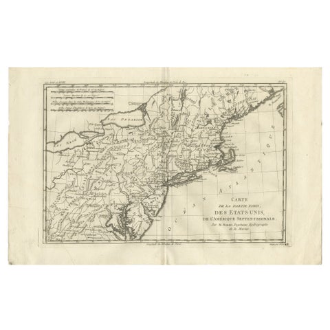
Antique Northeastern United States Map, New England & Mid-Atlantic, Bonne, 1780
1780 · Rigobert Bonne
$320
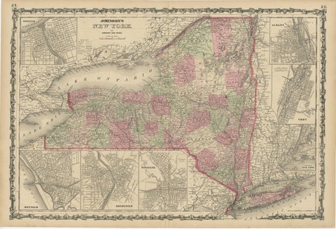
1864 Johnson's Map of New York State with City Insets
1864
$315
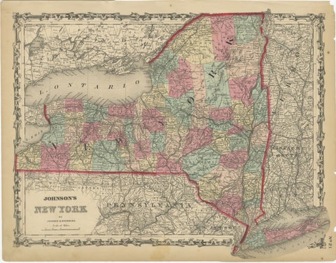
1862 Johnson's Map of New York State by Johnson & Browning
1862 · A. J. Johnson
$315
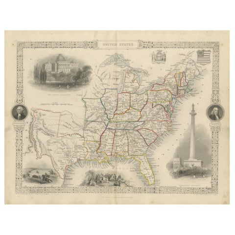
Ornate 1850s Map of the United States: Featuring Iconic Landmarks and Portrets
John Tallis
$315
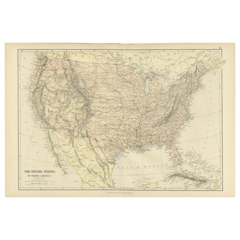
Antique Map of The United States of North America, 1882
1882
$300
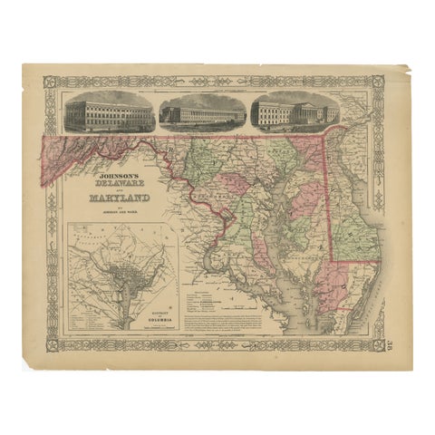
Delaware and Maryland Map – Johnson, Hand-Colored with Insets, 1864
1864
$300
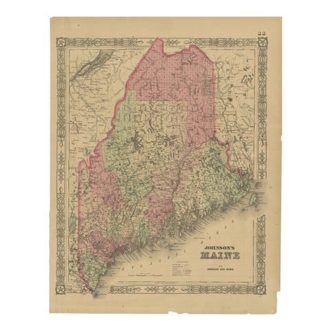
Maine County Map – Johnson, Hand-Colored, USA c.1864
1864
$300
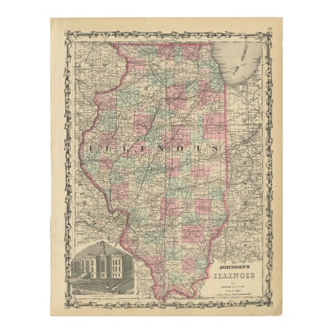
Johnson’s Illinois Map, USA c.1864 – Hand-Colored with Chicago Courthouse View
1864
$300
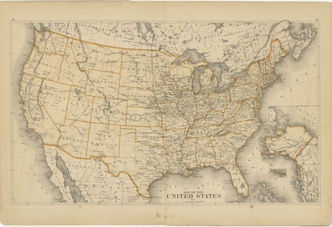
1874 Map of the United States with Territorial Boundaries
1874
$290
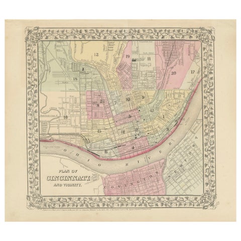
Plan of Cincinnati Map, USA c.1870 – Hand-Colored Street Plan with Wards
1870
$290
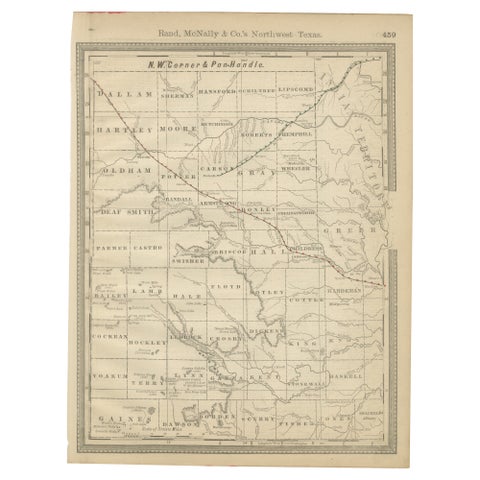
Antique Northwest Texas Map – Panhandle Railroads & Counties, Rand McNally, 1888
1888 · Rand McNally
$290
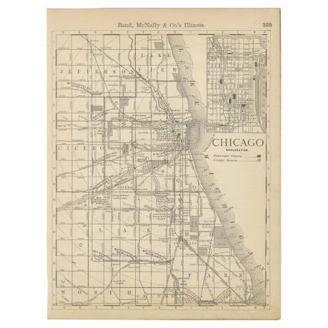
Antique Chicago Map Wall Art – Railroads, Lake Michigan & City Grid, ca.1888
1888 · Rand McNally
$290
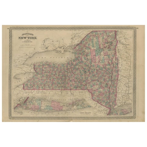
Antique Map of New York by Johnson '1872'
1872 · A. J. Johnson
$280
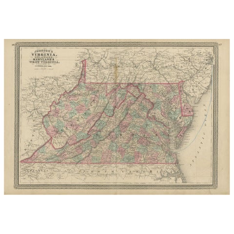
Antique Map of Virginia, Delaware, Maryland & West Virginia by Johnson, 1872
1872 · A. J. Johnson
$280
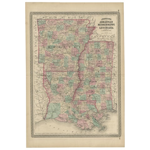
Antique Map of Arkansas, Mississippi and Louisiana by Johnson, 1872
1872 · A. J. Johnson
$280
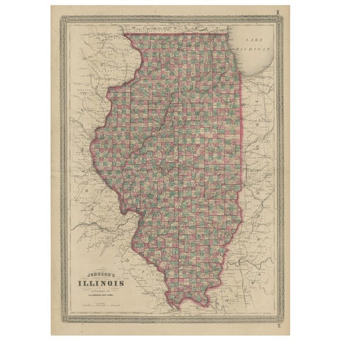
Antique Map of Illinois by Johnson, 1872
1872 · A. J. Johnson
$280
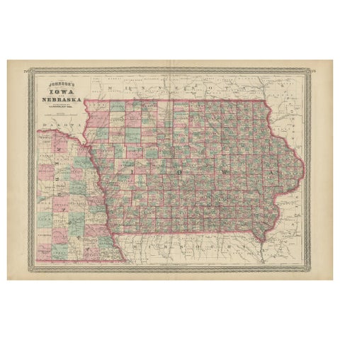
Antique Map of Iowa and Nebraska by Johnson, '1872'
1872 · A. J. Johnson
$280