Original antique maps & prints of
The United States
★ 238 original pieces ★
Original maps, views and prints of the United States, from the colonial charts of the seventeenth century to the railroad atlases of the Gilded Age. Browse by state, by region or by period.
By State
Every state we hold, grouped by region
Territories
New England
Maine, New Hampshire, Vermont, Massachusetts, Rhode Island and Connecticut
36 pieces
Mid-Atlantic
New York, New Jersey, Pennsylvania, Delaware, Maryland and Washington, D.C.
91 pieces
The South
Virginia and the Carolinas to Florida, Louisiana and Tennessee
84 pieces
The Midwest
Ohio and the Great Lakes to Missouri and Minnesota
78 pieces
The Great Plains
Kansas, Nebraska, the Dakotas and Oklahoma
32 pieces
The Southwest
Texas, New Mexico and Arizona
30 pieces
The Mountain West
Colorado, Utah, Nevada, Idaho, Montana and Wyoming
37 pieces
The Pacific Coast
California, Oregon, Washington, Alaska and Hawaii
107 pieces
Puerto Rico
The United States territory in the Caribbean
4 pieces
★
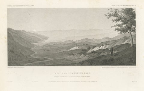
Antique California Landscape Print, Madelin Pass & Sacramento River, 1861
1861
$345
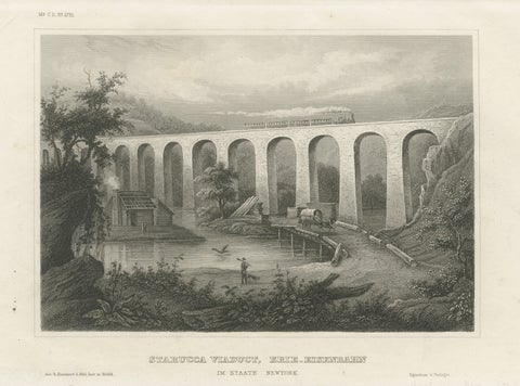
Starucca Viaduct, Erie Railroad – Antique New York Railway Engraving, ca.1850
1850
$345
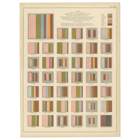
Antique Chart of the Church Accommodation of the United States by Walker, 1874
1874
$335
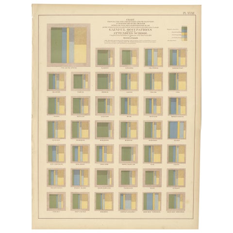
Antique Chart of Occupations and School Attendance of the United States, 1874
1874
$335
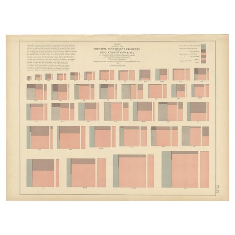
Antique Chart of the Population of the United States by Walker '1874'
1874
$335
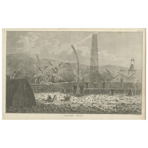
Antique Print of a Sacred Cemetery on Kauai, Hawaii
1785
$325
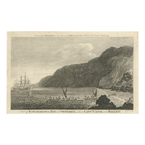
Final Voyage: The Death of Captain Cook at Kealakekua Bay, Hawaii, 1779
1779 · Captain Cook voyages
$325
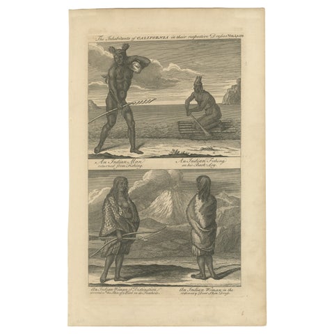
Inhabitants of California, Indigenous Dress and Daily Life Engraving, c1774
circa 1774
$325
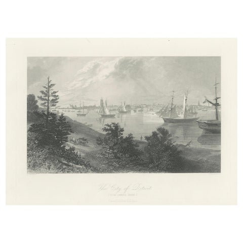
The City of Detroit, View from Canadian Shore – Antique Harbor Engraving, c.1872
1872
$325
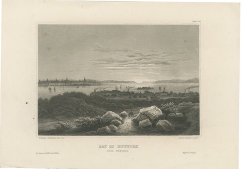
Bay of New York from Hoboken – Antique New York Harbor Engraving, c.1850
1850
$325
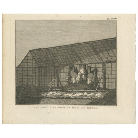
Antique Print of a House in Atooi by Cook - 1803
1803 · Captain Cook voyages
$315
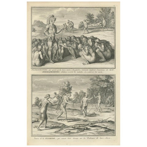
Florida Women Mourning Their Husbands, with Hermaphrodites in Ritual Service
$315
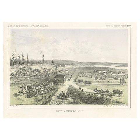
Fort Vancouver, Washington Territory, U.S. Railroad Survey View – ca.1850
1850
$315
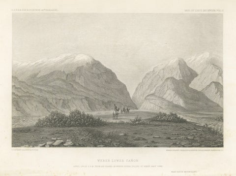
Antique Utah Landscape Print, Weber Canyon & Great Salt Lake Valley, 1861
1861
$315
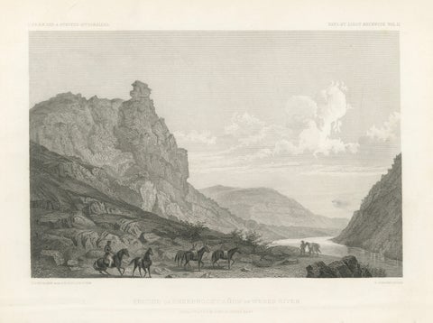
Antique Utah Canyon Print, Weber River & Sheep Rock Canyon View, 1861
1861
$315
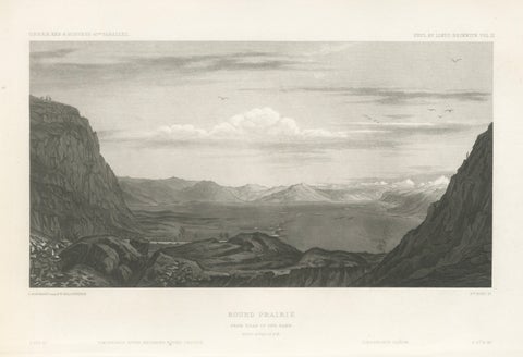
Antique Utah Landscape Print, Round Prairie & Timpanogos Valley, 1861
1861
$315
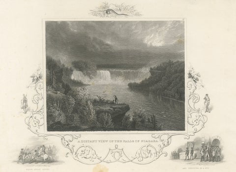
Niagara Falls Antique Engraving, Thomas Cole Landscape, 1831
1831
$310
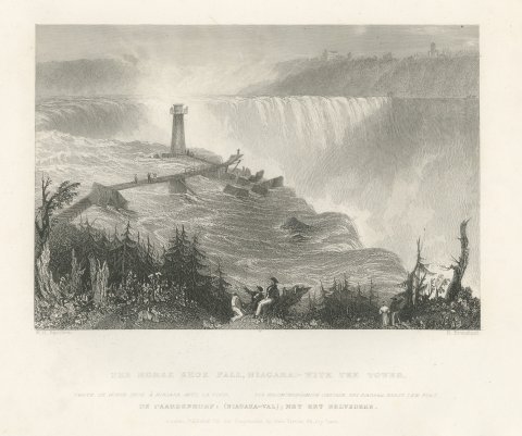
Horseshoe Fall, Niagara with the Tower, after Bartlett, Antique View, circa 1840
circa 1840
$310
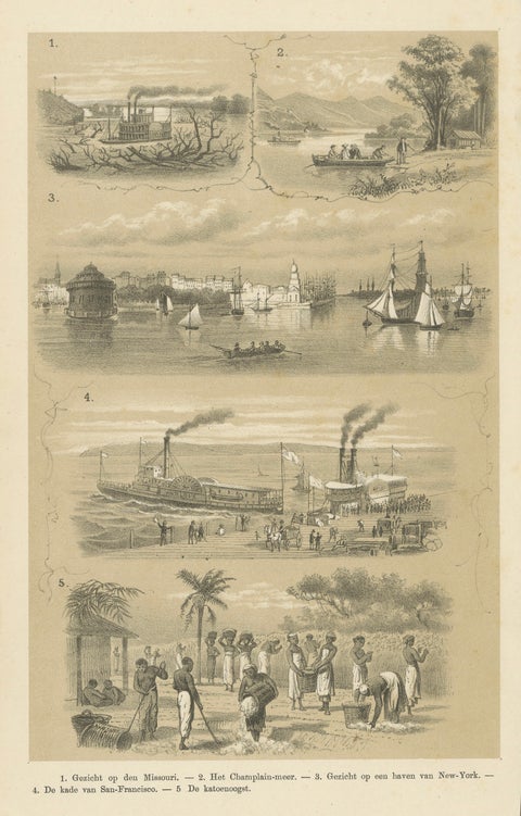
Missouri, Lake Champlain, New York, San Francisco & Cotton Harvest, 1879
1879
$310
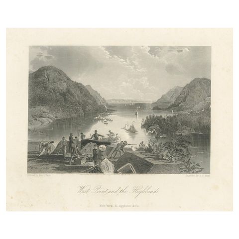
West Point and the Highlands, Hudson River Military View – 1869 Engraving
1869
$300
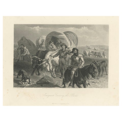
Emigrants Crossing the Plains, American West Wagon Migration – 1869 Engraving
1869
$300
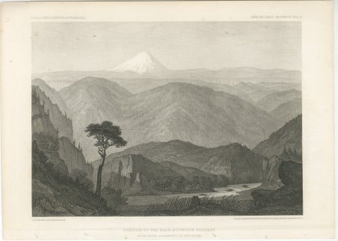
Antique California Landscape Print, Mt Shasta & Sacramento River View 1861
1861
$300
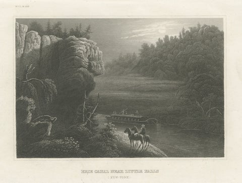
Erie Canal Near Little Falls, New York – Antique American Landscape Print, 1850
1850
$300
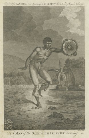
Hawaiian Dancer Engraving, Sandwich Islands Figure Study, Cook Voyage, c.1790
1790 · Captain Cook voyages
$300