Original antique maps & prints of
The United States
★ 585 original pieces ★
Original maps, views and prints of the United States, from the colonial charts of the seventeenth century to the railroad atlases of the Gilded Age. Browse by state, by region or by period.
By State
Every state we hold, grouped by region
Territories
New England
Maine, New Hampshire, Vermont, Massachusetts, Rhode Island and Connecticut
36 pieces
Mid-Atlantic
New York, New Jersey, Pennsylvania, Delaware, Maryland and Washington, D.C.
91 pieces
The South
Virginia and the Carolinas to Florida, Louisiana and Tennessee
84 pieces
The Midwest
Ohio and the Great Lakes to Missouri and Minnesota
78 pieces
The Great Plains
Kansas, Nebraska, the Dakotas and Oklahoma
32 pieces
The Southwest
Texas, New Mexico and Arizona
30 pieces
The Mountain West
Colorado, Utah, Nevada, Idaho, Montana and Wyoming
37 pieces
The Pacific Coast
California, Oregon, Washington, Alaska and Hawaii
107 pieces
Puerto Rico
The United States territory in the Caribbean
4 pieces
★
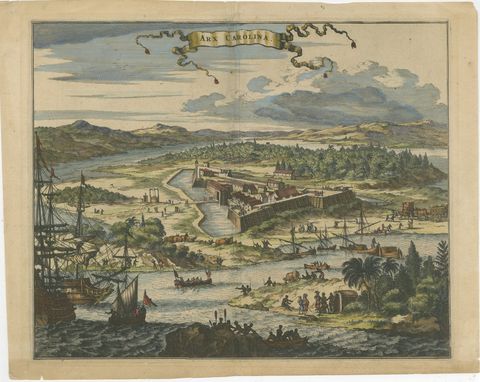
Fort Caroline in Florida, Montanus Engraving – Early America View 1671
1671 · Montanus & Ogilby
$1,085
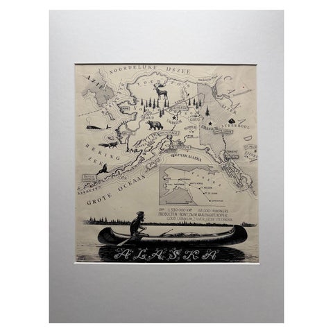
Original Illustration Map of Alaska by Charles Burki, ca. 1945 – Ink Drawing
1945
$1,050
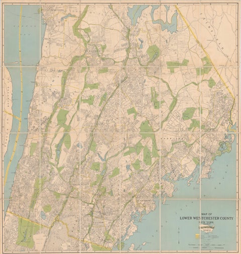
Large Decorative Map of Westchester County New York 1931 – Linen-Backed Wall Map
1931
$1,035
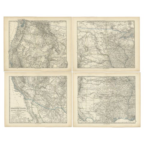
Set of 4 Antique Maps of part of the United States of America, c.1874
1874 · Stieler
$1,030
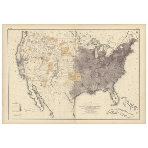
Antique Chart of the US Population in 1870, published in 1874
1870
$1,005
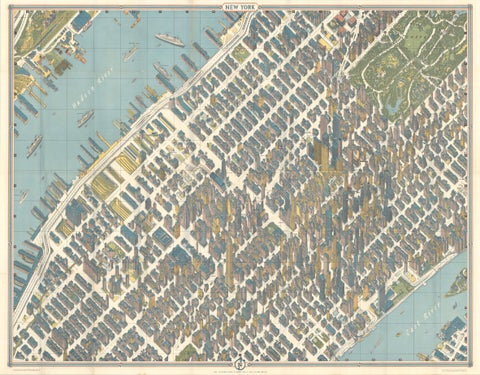
Hermann Bollmann New York City Bird’s-Eye Map for American Airlines, 1964
1964 · Hermann Bollmann
$1,000
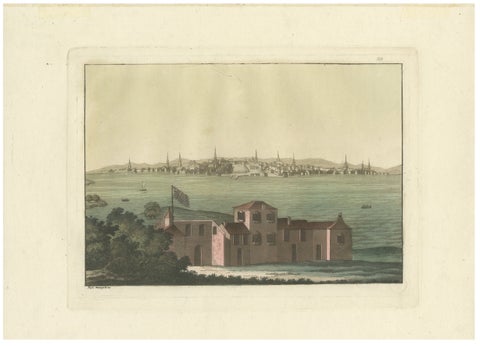
Boston Harbor View from Castle William, Hand-Colored Aquatint by Fumagalli, 1827
1827
$985
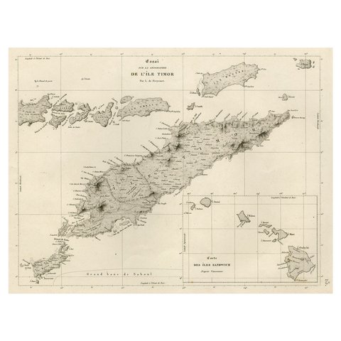
Rare Antique Map with Timor and Nearby Islands Plus an Inset of Hawaii, 1825
1825
$950
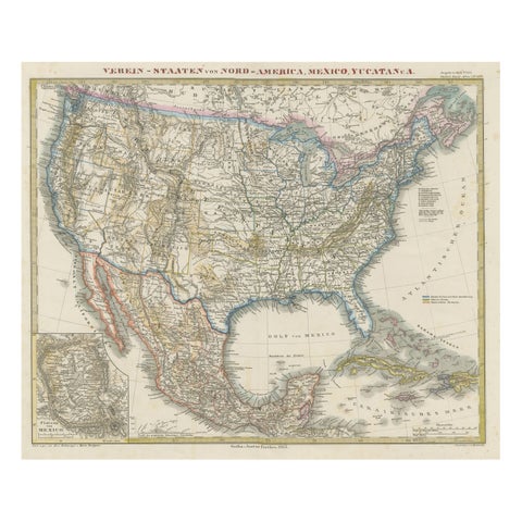
Antique Map of the United States of America, also showing the Caribbean
1865 · Stieler
$920
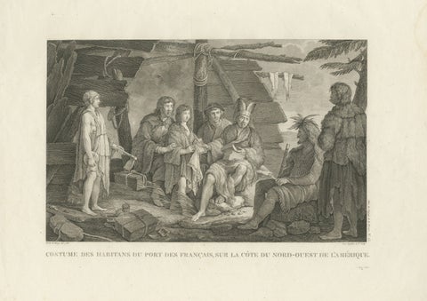
La Pérouse Alaska Tlingit Costume Engraving – French Expedition, 1797
1797 · La Perouse
$890
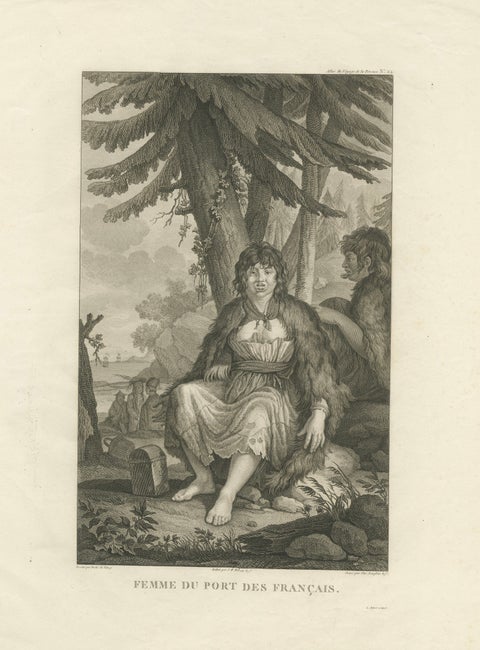
La Pérouse Alaska Tlingit Woman Portrait Engraving – 1797
1797 · La Perouse
$890
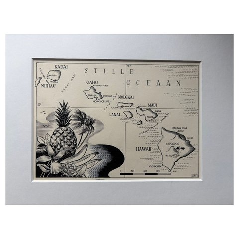
Original Illustration Map of Hawaii by Charles Burki, ca. 1948 – Ink Drawing
1948
$885
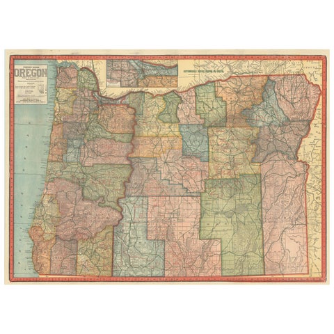
Colorful 1915 Road Map of Oregon with Portland Inset & Index – Geographical Pub.
1915
$860
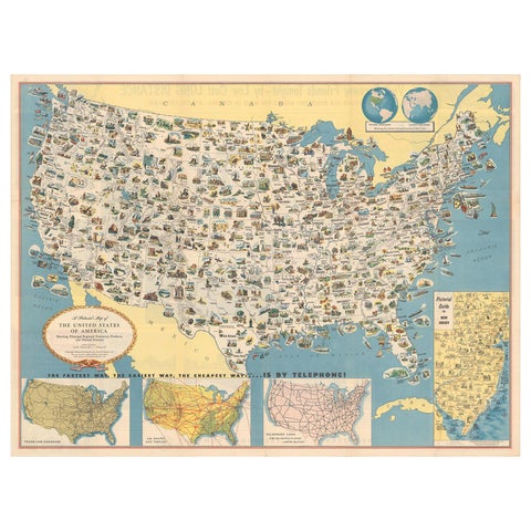
Old Decorative Pictorial Map of the United States, circa 1953
1953
$840
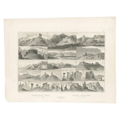
Antique Print of Hills on the Upper Missouri Made after Bodmer, circa 1840
1840 · Karl Bodmer
$840
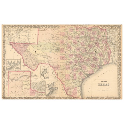
Large Antique Map of Texas with Panhandle & Bay Inset Maps, Colton, 1873
1873 · J. H. Colton
$815

Antique Map of the Coal Fields of the United States by Walker '1874'
1874
$760
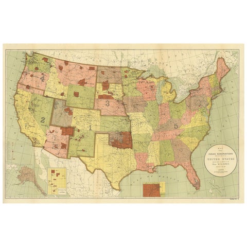
Antique Map Showing the Locations of Native American Tribes in 1899
1899
$730
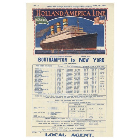
1925 Holland America Line: Southampton to New York Transatlantic Voyages
1925
$715
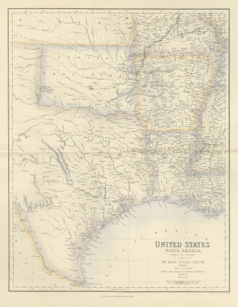
Antique Map of Texas and Louisiana with Indian Territory, circa 1860
circa 1860
$700
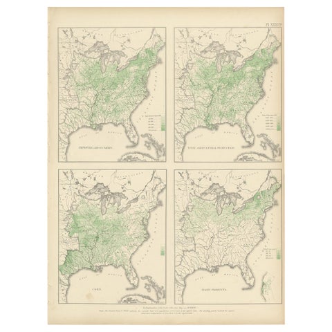
Pl. 36A Antique Chart of US Farms, Agriculture and Crops '1874'
1874
$670
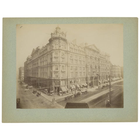
Antique Albumen Print of The Palmer House, Chicago 'c.1890'
1890
$670
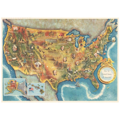
American Election Map and 1960 Presidential Fact Sheet, Published 1960
1960
$670
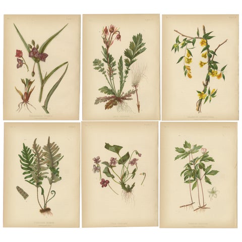
Native US Flora - Six Original Botanical Chromolithograps, 1879
1879
$670