Original antique maps & prints of
The United States
★ 584 original pieces ★
Original maps, views and prints of the United States, from the colonial charts of the seventeenth century to the railroad atlases of the Gilded Age. Browse by state, by region or by period.
By State
Every state we hold, grouped by region
Territories
New England
Maine, New Hampshire, Vermont, Massachusetts, Rhode Island and Connecticut
36 pieces
Mid-Atlantic
New York, New Jersey, Pennsylvania, Delaware, Maryland and Washington, D.C.
91 pieces
The South
Virginia and the Carolinas to Florida, Louisiana and Tennessee
84 pieces
The Midwest
Ohio and the Great Lakes to Missouri and Minnesota
78 pieces
The Great Plains
Kansas, Nebraska, the Dakotas and Oklahoma
31 pieces
The Southwest
Texas, New Mexico and Arizona
29 pieces
The Mountain West
Colorado, Utah, Nevada, Idaho, Montana and Wyoming
36 pieces
The Pacific Coast
California, Oregon, Washington, Alaska and Hawaii
106 pieces
Puerto Rico
The United States territory in the Caribbean
4 pieces
★
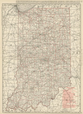
Antique Map of Indiana, The Hoosier State, Rand McNally, 1899
1899 · Rand McNally
$385
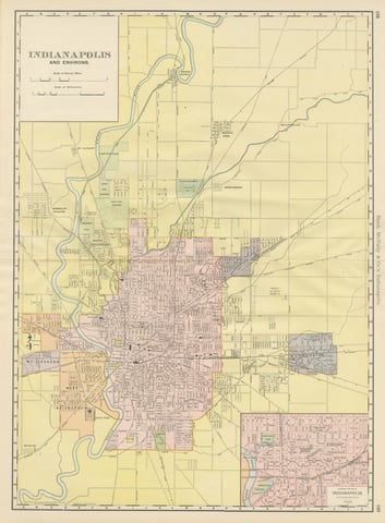
Antique Map of Indianapolis, The Circle City, Rand McNally, 1899
1899 · Rand McNally
$385
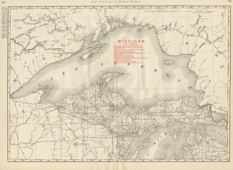
Antique Map of Northern Michigan and Lake Superior, Copper Country, 1899
1899 · Rand McNally
$385
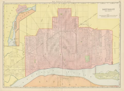
Antique Map of Detroit, with Belle Isle Park, Rand McNally, 1899
1899 · Rand McNally
$385
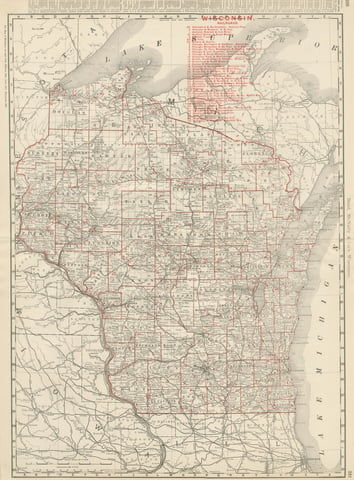
Antique Map of Wisconsin, The Badger State, Rand McNally, 1899
1899 · Rand McNally
$385
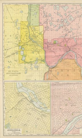
Antique Map of St. Paul and Minneapolis, The Twin Cities, Rand McNally, 1899
1899 · Rand McNally
$385
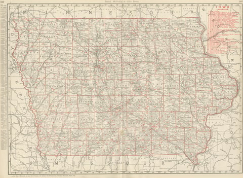
Antique Map of Iowa, The Hawkeye State, Rand McNally, 1899
1899 · Rand McNally
$385
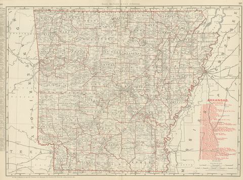
Antique Map of Arkansas, with Hot Springs, Rand McNally, 1899
1899 · Rand McNally
$385
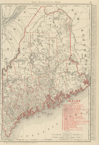
Antique Map of Maine, The Pine Tree State, Rand McNally, 1899
1899 · Rand McNally
$385
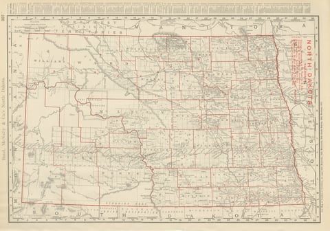
Antique Map of North Dakota, with Fort Berthold Reservation, Rand McNally, 1899
1899 · Rand McNally
$385
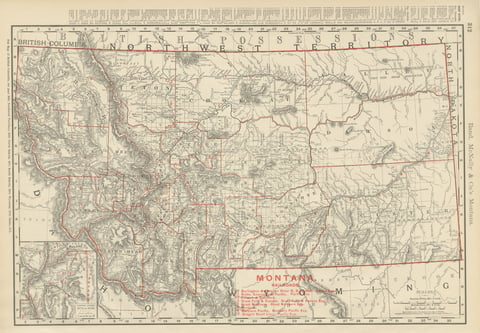
Antique Map of Montana, The Treasure State, Rand McNally, 1899
1899 · Rand McNally
$385
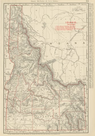
Antique Map of Idaho, The Gem State, Rand McNally, 1899
1899 · Rand McNally
$385
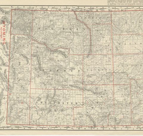
Antique Map of Wyoming, The Cowboy State, Rand McNally, 1899
1899 · Rand McNally
$385
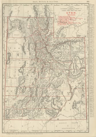
Antique Map of Utah, The Beehive State, Rand McNally, 1899
1899 · Rand McNally
$385
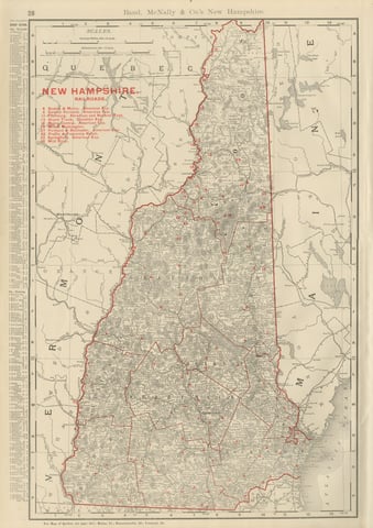
Antique Map of New Hampshire, The Granite State, Rand McNally, 1899
1899 · Rand McNally
$385
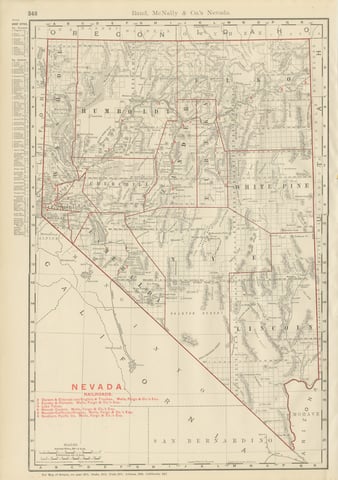
Antique Map of Nevada, The Silver State, Rand McNally, 1899
1899 · Rand McNally
$385
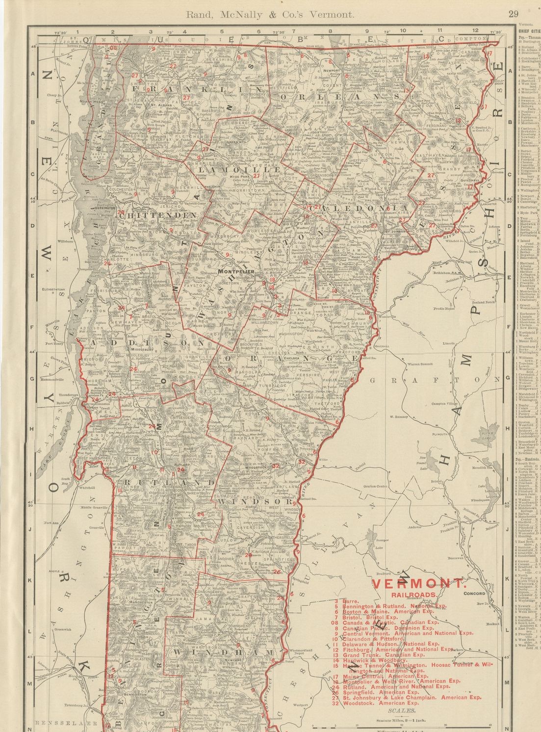
Antique Map of Vermont, The Green Mountain State, Rand McNally, 1899
1899 · Rand McNally
$385
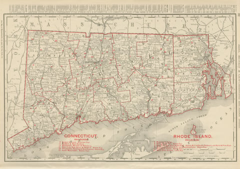
Antique Map of Connecticut and Rhode Island, with Narragansett Bay, 1899
1899 · Rand McNally
$385
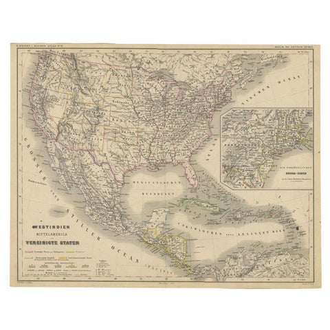
Old German Map of the United States, Central America and the West Indies, c.1870
1870
$380
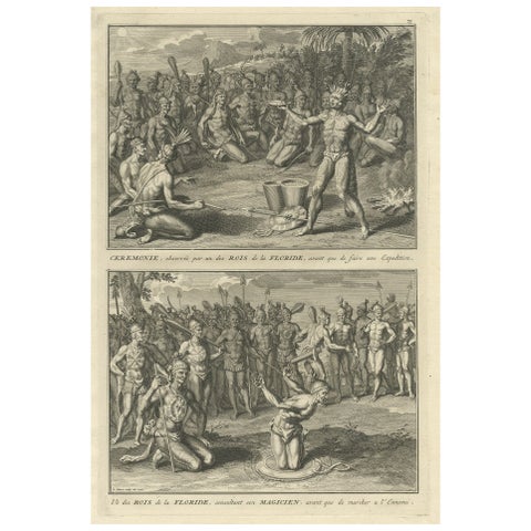
Two Engravings of an Florida King of the Indians in America, 1722
1722
$380
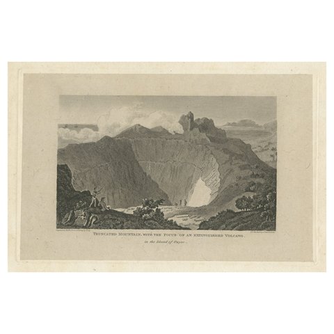
Rare Visions of a Dormant Titan: The Ancient Volcano of Owyhee or Hawaii, 1815
1815
$380
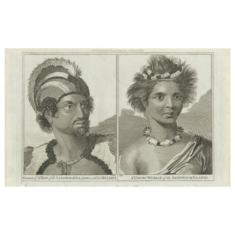
Regalia of the Sandwich Islands: Portraits in Traditional Attire, 1790
1790
$380
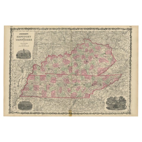
Civil War Era Map of Kentucky and Tennessee with Scenic Insets, Published 1864
1864
$380
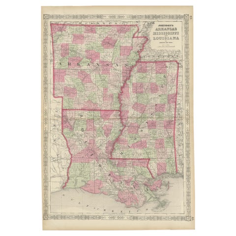
Rare 1864 Civil War Era Map of Arkansas, Mississippi, and Louisiana
1864
$380