Original antique maps & prints of
The United States
★ 584 original pieces ★
Original maps, views and prints of the United States, from the colonial charts of the seventeenth century to the railroad atlases of the Gilded Age. Browse by state, by region or by period.
By State
Every state we hold, grouped by region
Territories
New England
Maine, New Hampshire, Vermont, Massachusetts, Rhode Island and Connecticut
36 pieces
Mid-Atlantic
New York, New Jersey, Pennsylvania, Delaware, Maryland and Washington, D.C.
91 pieces
The South
Virginia and the Carolinas to Florida, Louisiana and Tennessee
84 pieces
The Midwest
Ohio and the Great Lakes to Missouri and Minnesota
78 pieces
The Great Plains
Kansas, Nebraska, the Dakotas and Oklahoma
31 pieces
The Southwest
Texas, New Mexico and Arizona
29 pieces
The Mountain West
Colorado, Utah, Nevada, Idaho, Montana and Wyoming
36 pieces
The Pacific Coast
California, Oregon, Washington, Alaska and Hawaii
106 pieces
Puerto Rico
The United States territory in the Caribbean
4 pieces
★
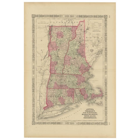
Rare 1864 Civil War Era Map of Vermont, New Hampshire, and Southern New England
1864
$380
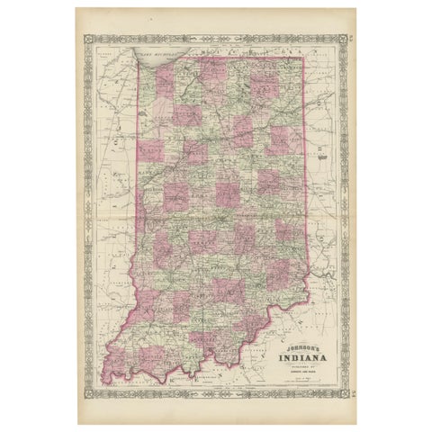
Decorative 1864 Civil War Era Map of Indiana with Lake Michigan Detail
1864
$380
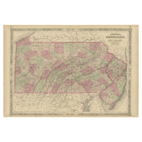
Historic 1864 Civil War Map of Pennsylvania and New Jersey with Coastal Focus
1864
$380
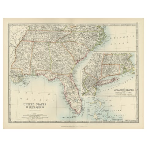
Map of the Southeastern USA and Atlantic States – Vintage 1903 Geography
1903 · W. & A. K. Johnston
$380
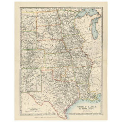
Map of United States Central Sheet 1903 – Railroads, States, and Topography
1903 · W. & A. K. Johnston
$380
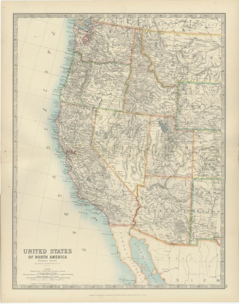
Map of Western United States 1903 – Railroads, State Borders, and Terrain
1903 · W. & A. K. Johnston
$380
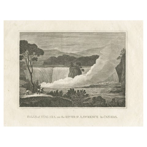
Falls of Niagara, River St. Lawrence, Canada – Engraving Published in 1816
1816
$380
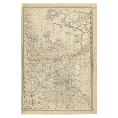
Antique Minnesota Map Wall Art by Rand McNally, Color Lithograph, 1888
1888 · Rand McNally
$380
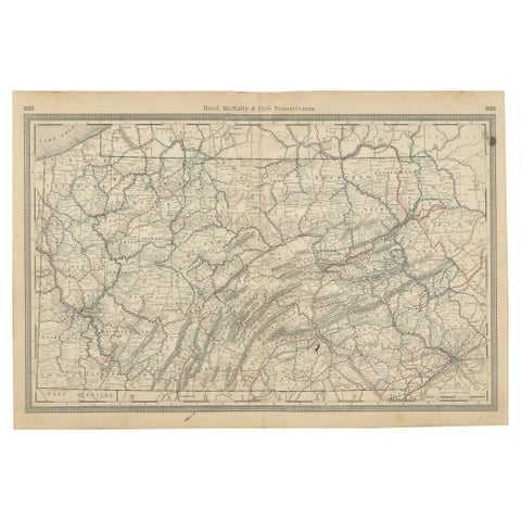
Antique Pennsylvania Map Wall Art – Railroads, Mountains & Cities, Rand McNally
Rand McNally
$380
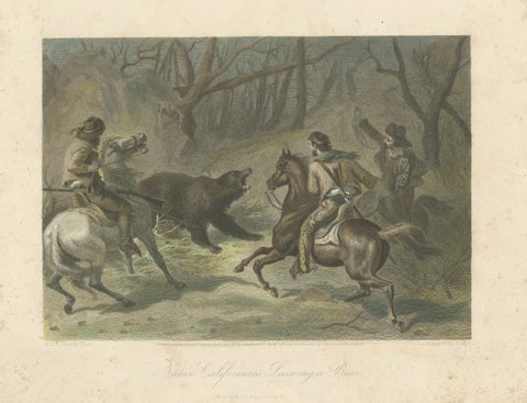
Native Californians Lassoing a Bear, Hand-Colored Americana Print, 1853
1853
$380
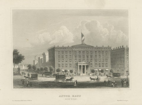
Astor House New York – Antique Broadway Hotel Steel Engraving 1850s
Meyer
$375
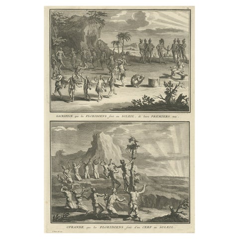
Antique Print of Natives in Florida Making Offerings to the Sun God, ca.1730
1730
$370
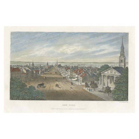
A Glimpse into the Early 19th Century Urban Landscape of New York, a 1842 Print
1842
$370
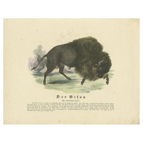
Der Bison (American Bison) - Hand-Colored Zoological Print, Circa 1840
1840
$370
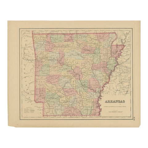
Arkansas Map by Colton, USA Published c.1864 – Hand-Colored County Map
1864 · J. H. Colton
$370
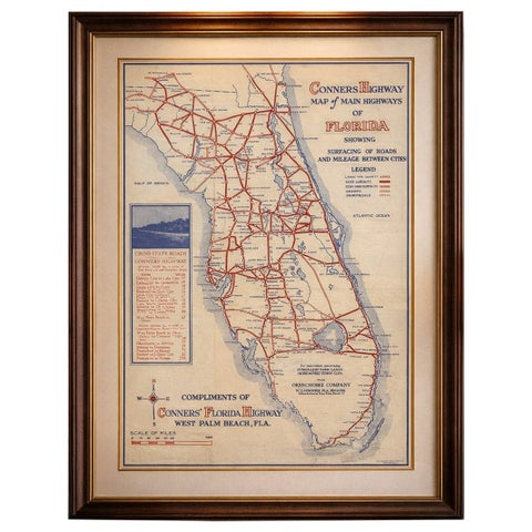
Antique Florida Highway Map – Conners Highway, Lake Okeechobee Roads, ca.1924
1924
$370
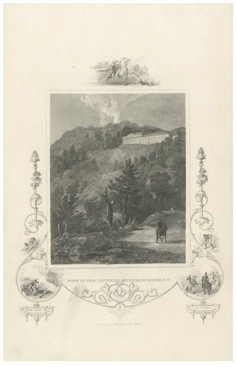
Catskill Mountain House - Antique Engraving, New York View c1830
circa 1830
$370
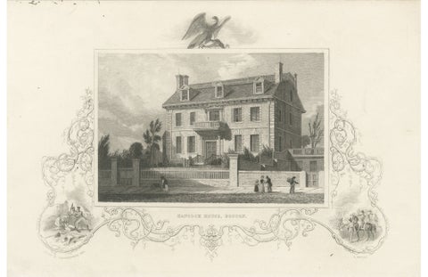
Hancock House Boston - Antique Engraving American Revolution, ca.1830
1830
$370
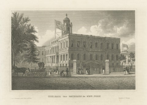
New York City Hall – Antique Architectural Engraving of Manhattan, c.1850
1850
$370
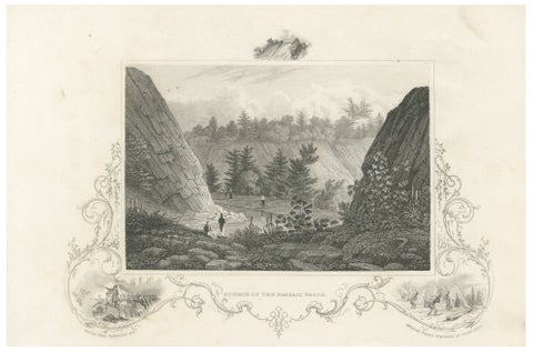
Passaic Falls Antique Engraving, New Jersey Landscape, c.1830
1830
$370
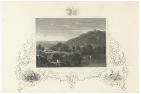
Monte Video Residence Antique Engraving, Connecticut View, c.1830
1830
$370
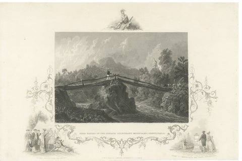
Juniata Alleghany Mountains - Antique Engraving, Pennsylvania View, ca.1830
1830
$370
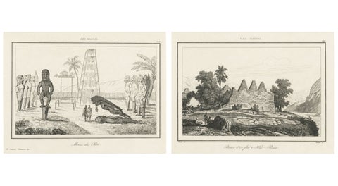
Ancient Hawaiian Temples & Royal Sacred Sites – Pair of Small Engravings, 1836
1836
$365
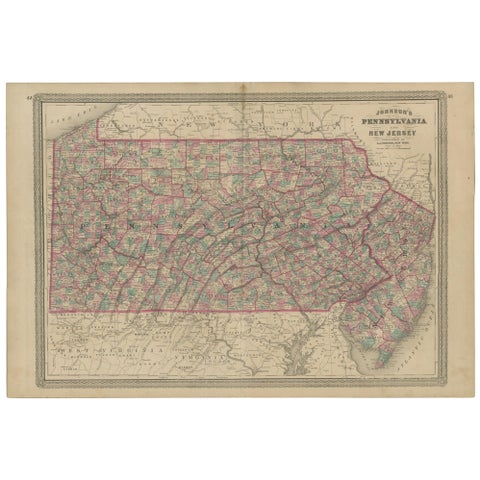
Antique Map of Pennsylvania and New Jersey by Johnson, 1872
1872 · A. J. Johnson
$360