Original antique maps & prints of
The United States
★ 268 original pieces ★
Original maps, views and prints of the United States, from the colonial charts of the seventeenth century to the railroad atlases of the Gilded Age. Browse by state, by region or by period.
By State
Every state we hold, grouped by region
Territories
New England
Maine, New Hampshire, Vermont, Massachusetts, Rhode Island and Connecticut
36 pieces
Mid-Atlantic
New York, New Jersey, Pennsylvania, Delaware, Maryland and Washington, D.C.
91 pieces
The South
Virginia and the Carolinas to Florida, Louisiana and Tennessee
84 pieces
The Midwest
Ohio and the Great Lakes to Missouri and Minnesota
78 pieces
The Great Plains
Kansas, Nebraska, the Dakotas and Oklahoma
32 pieces
The Southwest
Texas, New Mexico and Arizona
30 pieces
The Mountain West
Colorado, Utah, Nevada, Idaho, Montana and Wyoming
37 pieces
The Pacific Coast
California, Oregon, Washington, Alaska and Hawaii
107 pieces
Puerto Rico
The United States territory in the Caribbean
4 pieces
★
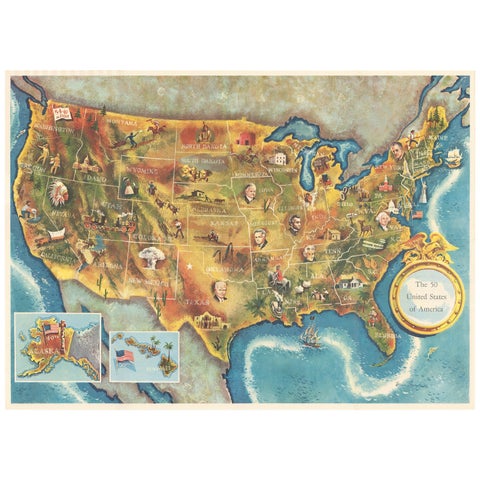
American Election Map and 1960 Presidential Fact Sheet, Published 1960
1960
$670
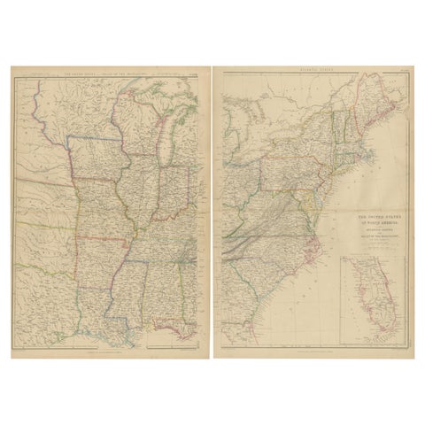
Set of 2 Antique Maps of the United States by W. G. Blackie, 1859
1859
$660
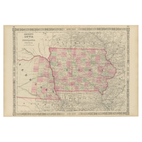
Vintage 1862 Map of Iowa and Nebraska – Decorative Atlas Print
1862
$660
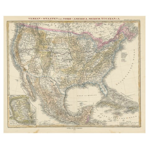
Antique Map with Hand Coloring of the United States and the Caribbean
circa 1879 · Stieler
$625
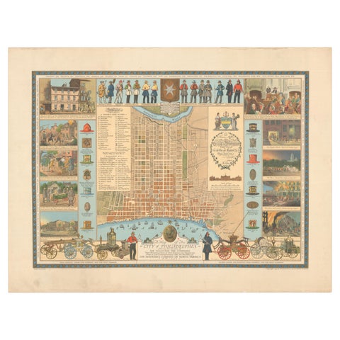
Map of Philadelphia with a Historical Tribute to its Volunteer Fire Companies
$625
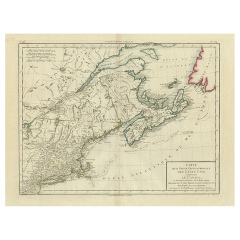
Antique Map of the Northeastern United States and Canada by Tardieu, 1802
1802
$625
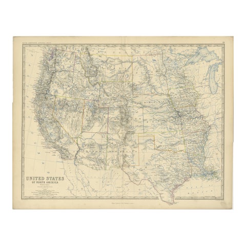
1874 Map of Western United States – Detailed Atlas by Keith Johnston
1874 · W. & A. K. Johnston
$615
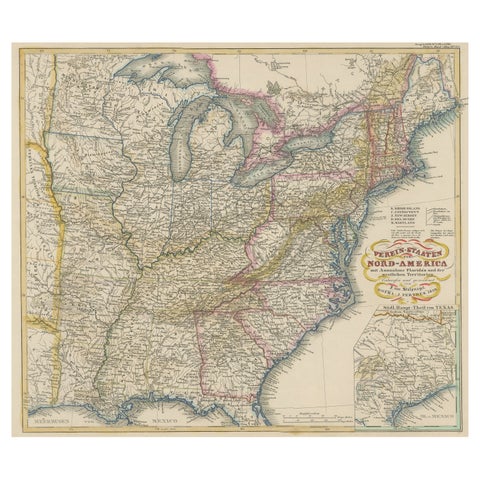
Antique Map of the Eastern United States with Inset Map of Texas
circa 1859 · Stieler
$605
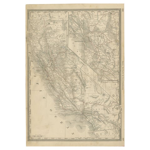
1888 California Map – The Golden State’s Railroads, Cities & Counties
1888 · Rand McNally
$605
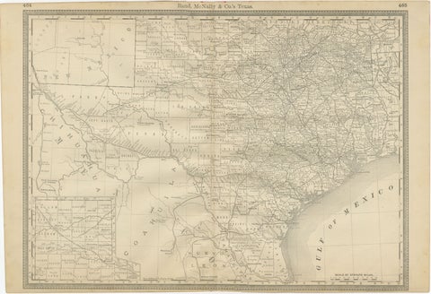
Texas Antique Map 1888 – Railroads, Counties & Frontier Settlements
1888 · Rand McNally
$605
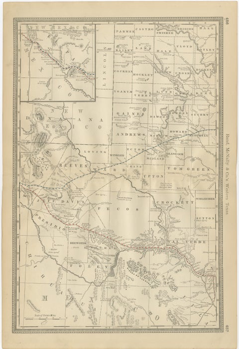
Western Texas Antique Map 1888 – Railroads, Counties & Frontier Towns
1888 · Rand McNally
$605
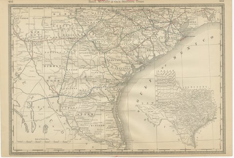
Antique Map 1888 – Southern Texas Railroads, Counties & Settlements
1888 · Rand McNally
$605
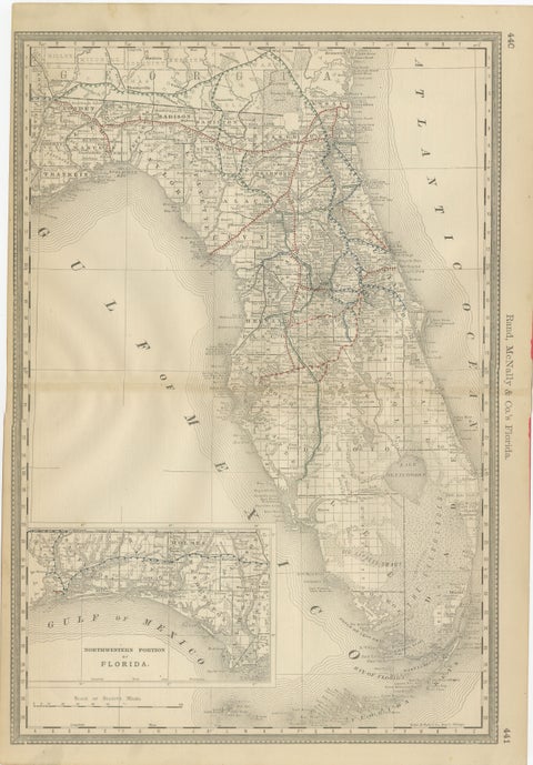
Florida 1888 Antique Map – Railroads, Settlements & Gulf Coast Detail
1888 · Rand McNally
$605
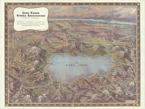
Vintage Lake Tahoe Bird’s-Eye View Pictorial Map by Gerald A. Eddy, circa 1945
1945
$605
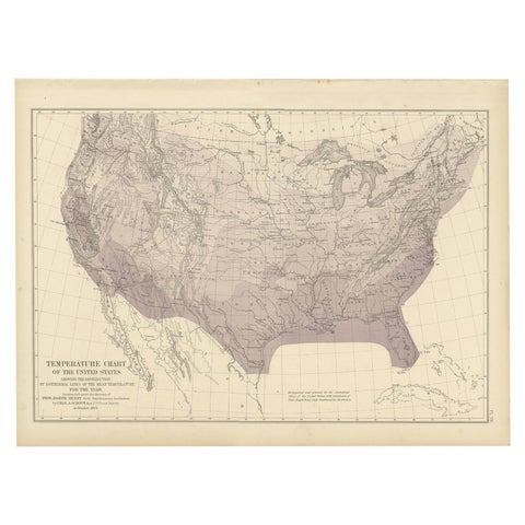
Pl. 7 Antique Temperature Chart of the United States by Walker, 1874
1874
$560
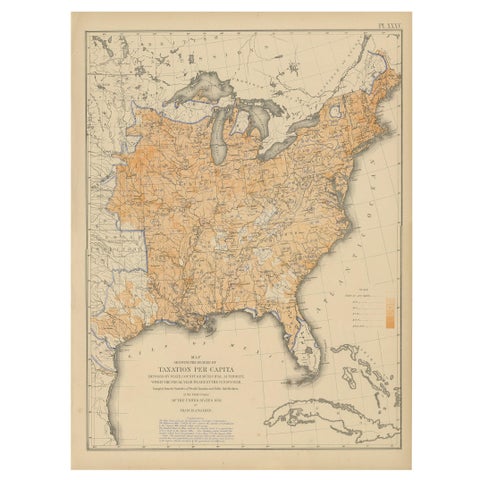
Pl. 35 Antique Chart of the US Taxation, 1874
1874
$560
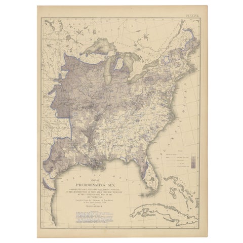
Antique Chart of the US Predominating Sex, 1874
1874
$560
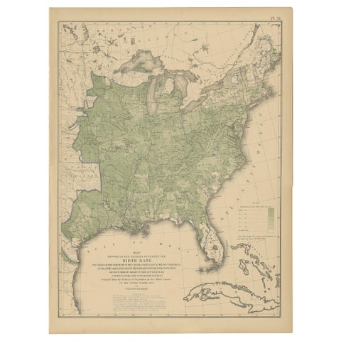
Pl. 40 Antique Chart of the US Birth Rate, 1874
1874
$560
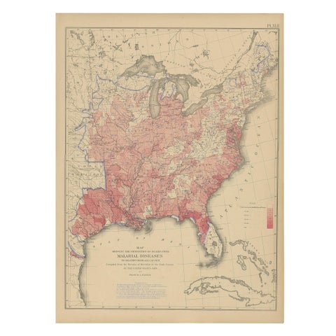
Antique Chart of the US Malarial Deaths, '1874'
1874
$560
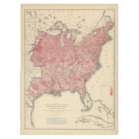
Pl. 45 Antique Chart of the US Inestinal Diseases Deaths, 1874
1874
$560
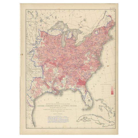
Antique Chart of the US Enteric, Cerebro-Spinal, Typhus Deaths, '1874'
1874
$560
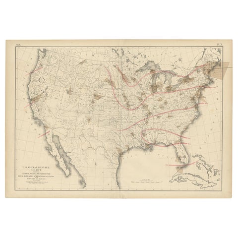
Pl. 9 Antique Map of the Air Movement of the United States by Walker '1874'
1874
$560
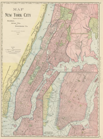
Antique Map of Manhattan, New York City, with Central Park, Rand McNally, 1899
1899 · Rand McNally
$555
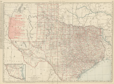
Antique Map of Texas, The Lone Star State, Rand McNally, 1899
1899 · Rand McNally
$555