Original antique maps & prints of
The United States
★ 267 original pieces ★
Original maps, views and prints of the United States, from the colonial charts of the seventeenth century to the railroad atlases of the Gilded Age. Browse by state, by region or by period.
By State
Every state we hold, grouped by region
Territories
New England
Maine, New Hampshire, Vermont, Massachusetts, Rhode Island and Connecticut
36 pieces
Mid-Atlantic
New York, New Jersey, Pennsylvania, Delaware, Maryland and Washington, D.C.
91 pieces
The South
Virginia and the Carolinas to Florida, Louisiana and Tennessee
84 pieces
The Midwest
Ohio and the Great Lakes to Missouri and Minnesota
78 pieces
The Great Plains
Kansas, Nebraska, the Dakotas and Oklahoma
31 pieces
The Southwest
Texas, New Mexico and Arizona
29 pieces
The Mountain West
Colorado, Utah, Nevada, Idaho, Montana and Wyoming
36 pieces
The Pacific Coast
California, Oregon, Washington, Alaska and Hawaii
106 pieces
Puerto Rico
The United States territory in the Caribbean
4 pieces
★
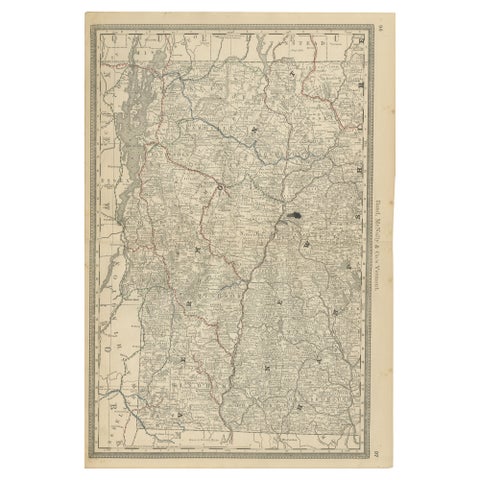
Antique Vermont Map Wall Art – Railroads, Mountains & Towns, Rand McNally, 1888
1888 · Rand McNally
$435
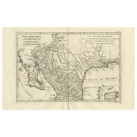
New Mexico & Northern New Spain – Enlightenment Map by Rigobert Bonne, c.1780
1780 · Rigobert Bonne
$435
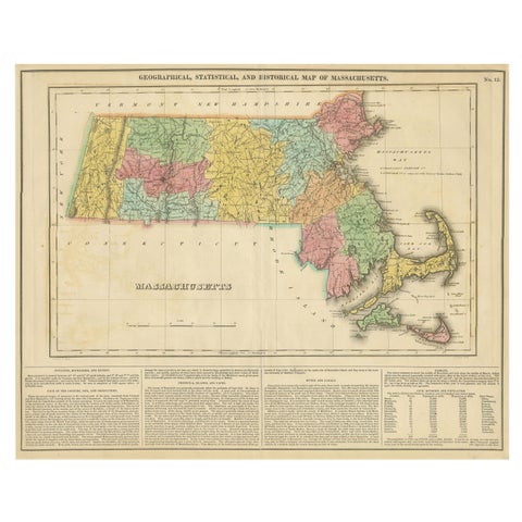
Antique Geographical, Historical and Statistical Map of Massachusetts, 1822
1822
$425
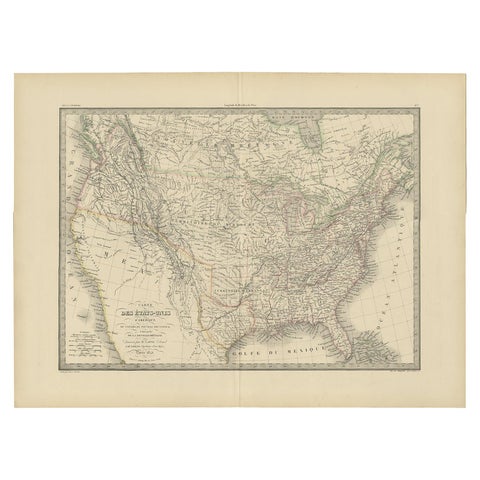
Antique Map of the United States by Pierre M. Lapie, Wall Art, 1842
1842
$405
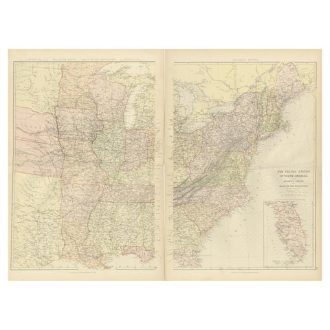
1882 Blackie Atlas Maps: Atlantic States and Mississippi Valley Compilation
1882
$405
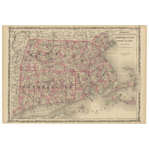
Rare 1864 Civil War Era Map of Massachusetts, Connecticut, and Rhode Island
1864
$405
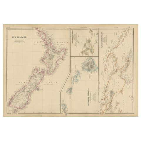
New Zealand, Antique Map, Pacific Islands, Sandwich Islands, Blackie Atlas 1860
1860
$405
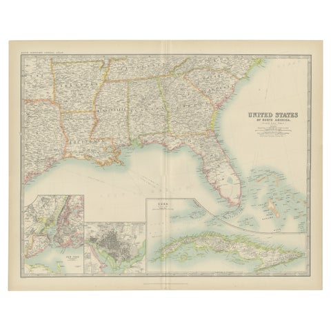
Antique Map of the United States ' South East ' by Johnston '1909'
1909 · W. & A. K. Johnston
$390
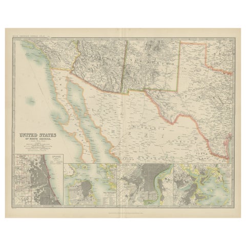
Antique Map of the United States of North America by Johnston '1909'
1909 · W. & A. K. Johnston
$390
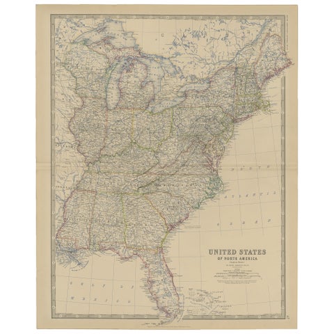
Antique Map of the United States of North America, c.1882
1882 · W. & A. K. Johnston
$390
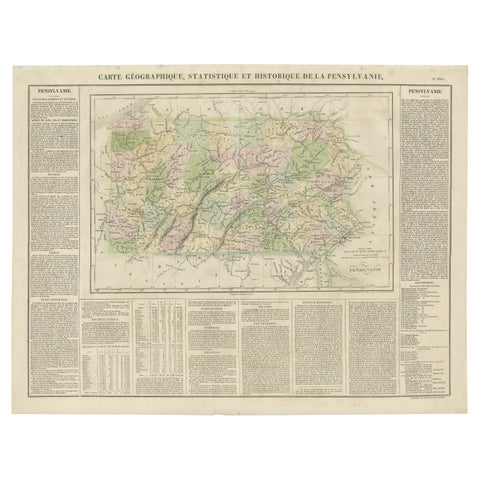
Original Antique Map of Pennsylvania Showing Interesting Statistics Etc, 1825
1825
$390
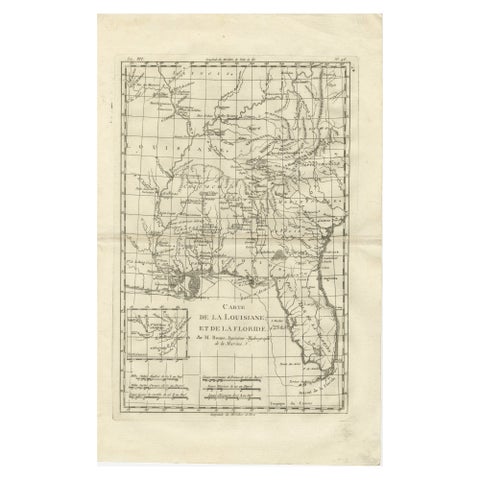
Antique Map Louisiana & Mississippi Valley, Florida Region, Bonne c.1780
1780 · Rigobert Bonne
$390
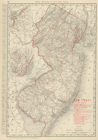
Antique Map of New Jersey, The Garden State, Rand McNally, 1899
1899 · Rand McNally
$385
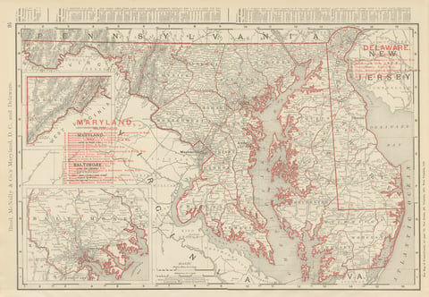
Antique Map of Maryland and Delaware, with Baltimore Inset, Rand McNally, 1899
1899 · Rand McNally
$385
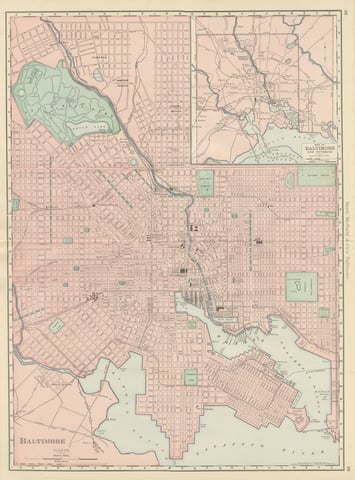
Antique Map of Baltimore, with Druid Hill Park, Rand McNally, 1899
1899 · Rand McNally
$385
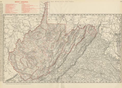
Antique Map of West Virginia, The Mountain State, Rand McNally, 1899
1899 · Rand McNally
$385
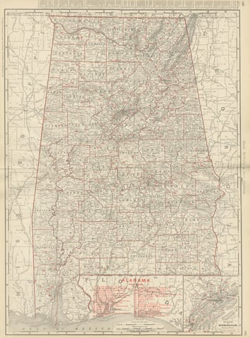
Antique Map of Alabama, The Yellowhammer State, Rand McNally, 1899
1899 · Rand McNally
$385
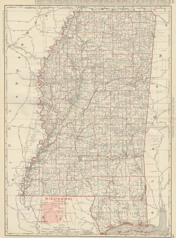
Antique Map of Mississippi, The Magnolia State, Rand McNally, 1899
1899 · Rand McNally
$385
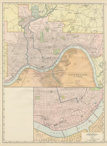
Antique Map of Cincinnati, The Queen City, Rand McNally, 1899
1899 · Rand McNally
$385
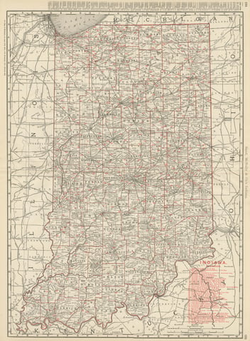
Antique Map of Indiana, The Hoosier State, Rand McNally, 1899
1899 · Rand McNally
$385
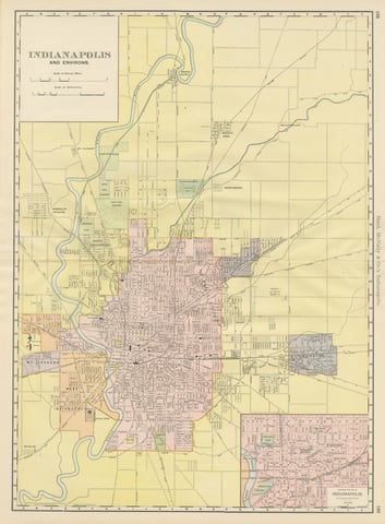
Antique Map of Indianapolis, The Circle City, Rand McNally, 1899
1899 · Rand McNally
$385
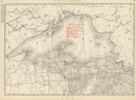
Antique Map of Northern Michigan and Lake Superior, Copper Country, 1899
1899 · Rand McNally
$385
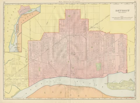
Antique Map of Detroit, with Belle Isle Park, Rand McNally, 1899
1899 · Rand McNally
$385
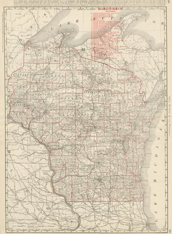
Antique Map of Wisconsin, The Badger State, Rand McNally, 1899
1899 · Rand McNally
$385