Original antique maps & prints of
The United States
★ 267 original pieces ★
Original maps, views and prints of the United States, from the colonial charts of the seventeenth century to the railroad atlases of the Gilded Age. Browse by state, by region or by period.
By State
Every state we hold, grouped by region
Territories
New England
Maine, New Hampshire, Vermont, Massachusetts, Rhode Island and Connecticut
36 pieces
Mid-Atlantic
New York, New Jersey, Pennsylvania, Delaware, Maryland and Washington, D.C.
91 pieces
The South
Virginia and the Carolinas to Florida, Louisiana and Tennessee
84 pieces
The Midwest
Ohio and the Great Lakes to Missouri and Minnesota
78 pieces
The Great Plains
Kansas, Nebraska, the Dakotas and Oklahoma
31 pieces
The Southwest
Texas, New Mexico and Arizona
29 pieces
The Mountain West
Colorado, Utah, Nevada, Idaho, Montana and Wyoming
36 pieces
The Pacific Coast
California, Oregon, Washington, Alaska and Hawaii
106 pieces
Puerto Rico
The United States territory in the Caribbean
4 pieces
★
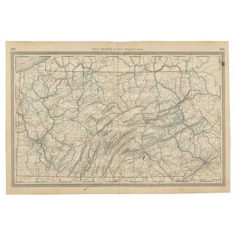
Antique Pennsylvania Map Wall Art – Railroads, Mountains & Cities, Rand McNally
Rand McNally
$380
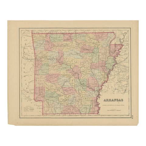
Arkansas Map by Colton, USA Published c.1864 – Hand-Colored County Map
1864 · J. H. Colton
$370
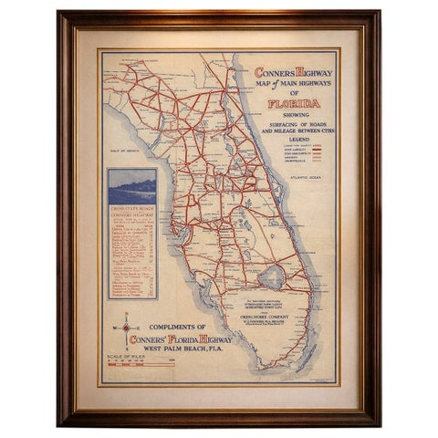
Antique Florida Highway Map – Conners Highway, Lake Okeechobee Roads, ca.1924
1924
$370
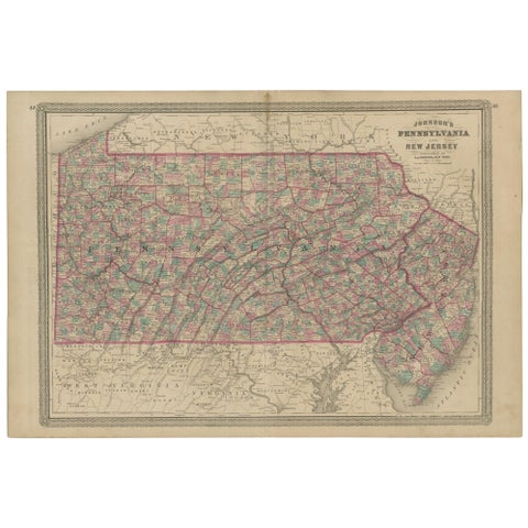
Antique Map of Pennsylvania and New Jersey by Johnson, 1872
1872 · A. J. Johnson
$360
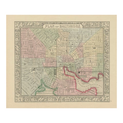
Plan of Baltimore City Map, USA c.1870 – Hand-Colored Street Plan
1870
$360
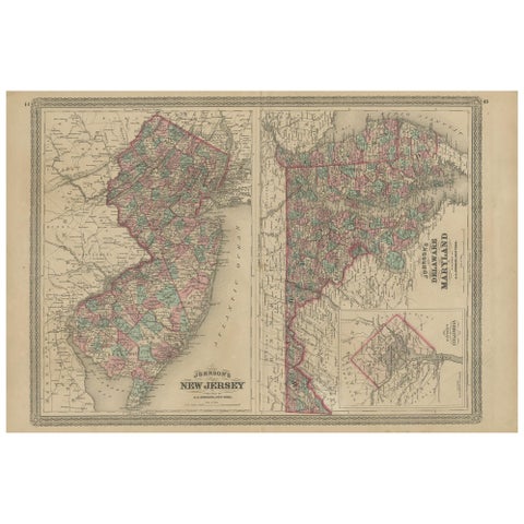
Antique Map of New Jersey, Delaware and Maryland by Johnson, 1872
1872 · A. J. Johnson
$335
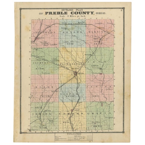
Antique Map of Preble County 'Ohio' by Titus, 1871
1871
$335
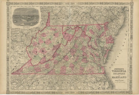
1864 Johnson's Map of Virginia, Delaware, and Maryland with Fort Monroe Inset
1864
$335
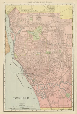
Antique Map of Buffalo, New York, on Lake Erie, Rand McNally, 1899
1899 · Rand McNally
$330
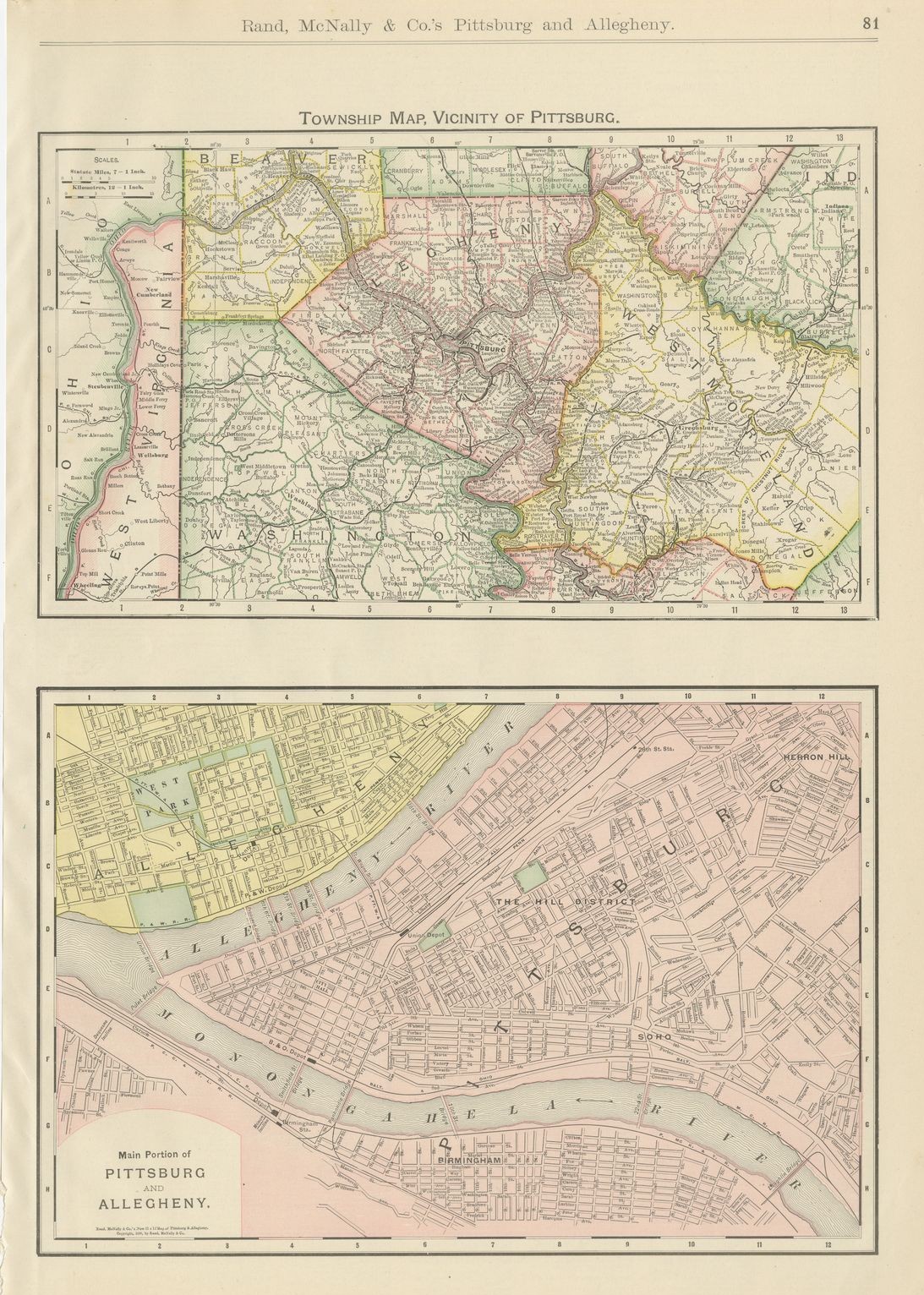
Antique Map of Pittsburg and Allegheny, The Steel City, Rand McNally, 1899
1899 · Rand McNally
$330
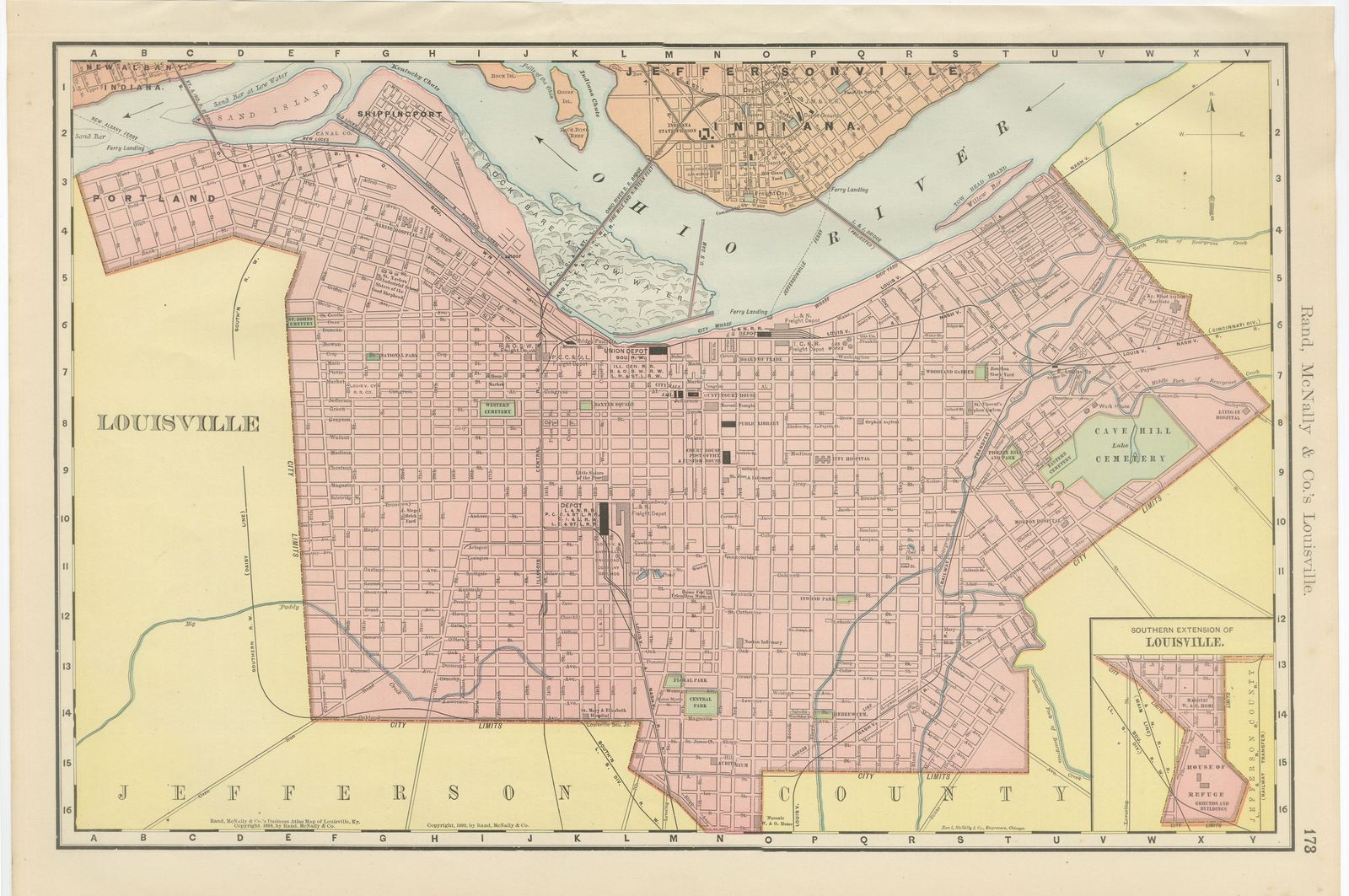
Antique Map of Louisville, Kentucky, on the Ohio River, Rand McNally, 1899
1899 · Rand McNally
$330
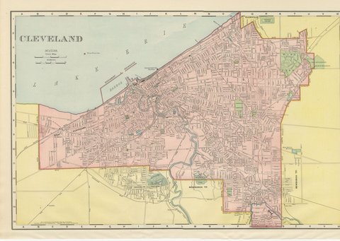
Antique Map of Cleveland, The Forest City, Rand McNally, 1899
1899 · Rand McNally
$330
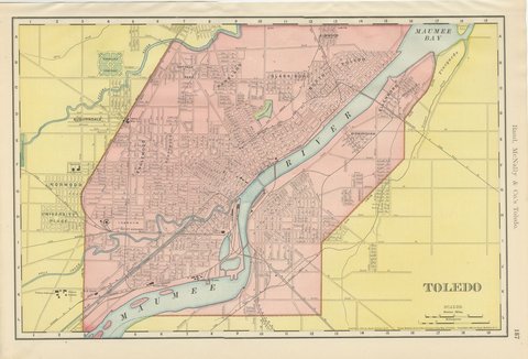
Antique Map of Toledo, Ohio, with Maumee Bay, Rand McNally, 1899
1899 · Rand McNally
$330
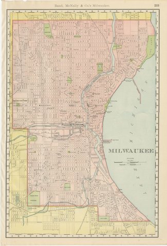
Antique Map of Milwaukee, The Cream City, Rand McNally, 1899
1899 · Rand McNally
$330
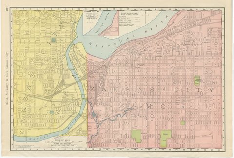
Antique Map of Kansas City, at the Kaw River Confluence, Rand McNally, 1899
1899 · Rand McNally
$330
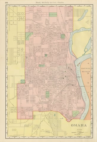
Antique Map of Omaha, with Union Stock Yards, Rand McNally, 1899
1899 · Rand McNally
$330
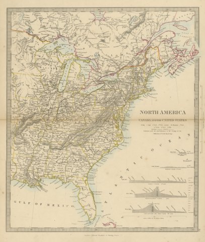
Antique Map of Canada and the United States with Canal Profiles, 1858
1858
$325
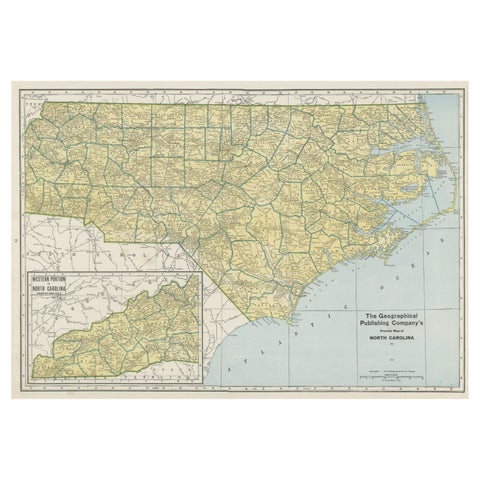
Colorful Old Detailed Map of Northern Carolina, United States of America
1931
$325
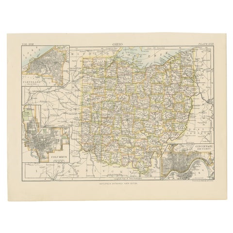
Antique Map of Ohio, with Inset Maps of Cleveland, Columbus and Cincinnati
1884
$325
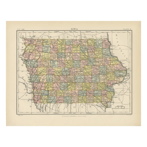
Original Antique Map of Iowa, Published in 1881
1881
$325
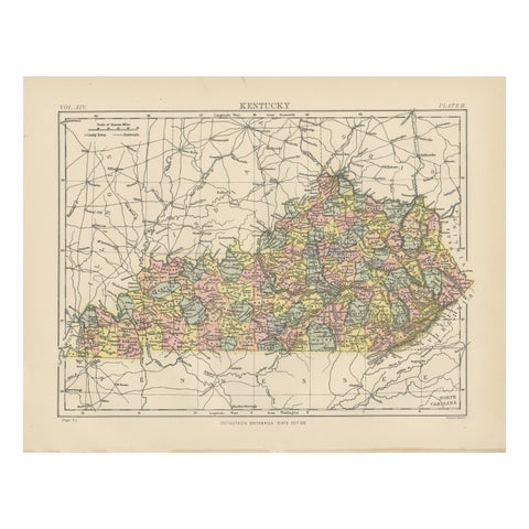
Antique Map of Kentucky
1882
$325
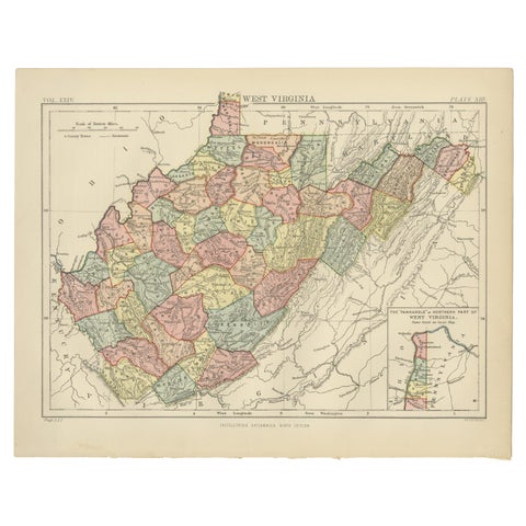
Antique Map of Virginia, with Inset Map of the Northern Part, 1888
1888
$325
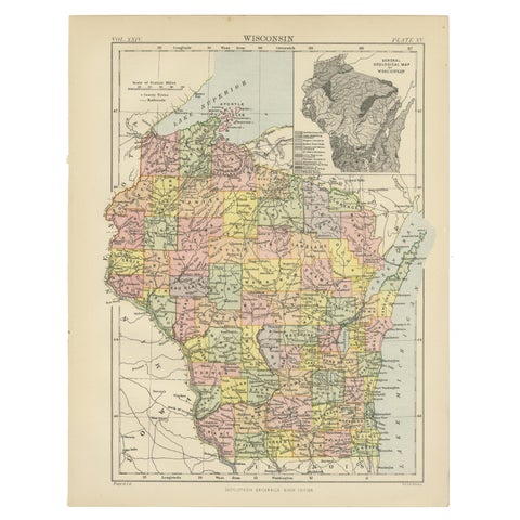
Antique Map of Wisconsin with Inset Geological Map of Wisconsin
$325
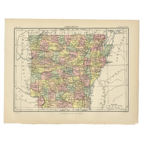
Antique Map of Arkansas from Encyclopaedia Britannica, 1875
1875
$325