Original antique maps & prints of
The United States
★ 268 original pieces ★
Original maps, views and prints of the United States, from the colonial charts of the seventeenth century to the railroad atlases of the Gilded Age. Browse by state, by region or by period.
By State
Every state we hold, grouped by region
Territories
New England
Maine, New Hampshire, Vermont, Massachusetts, Rhode Island and Connecticut
36 pieces
Mid-Atlantic
New York, New Jersey, Pennsylvania, Delaware, Maryland and Washington, D.C.
91 pieces
The South
Virginia and the Carolinas to Florida, Louisiana and Tennessee
84 pieces
The Midwest
Ohio and the Great Lakes to Missouri and Minnesota
78 pieces
The Great Plains
Kansas, Nebraska, the Dakotas and Oklahoma
32 pieces
The Southwest
Texas, New Mexico and Arizona
30 pieces
The Mountain West
Colorado, Utah, Nevada, Idaho, Montana and Wyoming
37 pieces
The Pacific Coast
California, Oregon, Washington, Alaska and Hawaii
107 pieces
Puerto Rico
The United States territory in the Caribbean
4 pieces
★
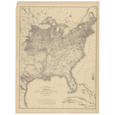
Pl. 26 Antique Chart of the US Foreign Population Proportion in 1870, '1874'
1870
$505
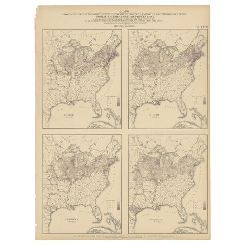
Antique Chart of the US Irish and German Population in 1870, '1874'
1870
$505
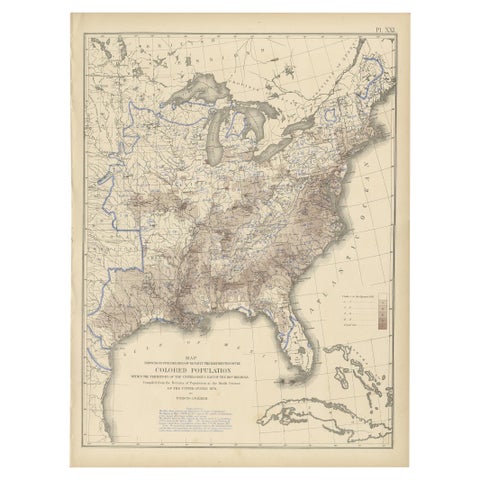
Pl. 21 Antique Chart of the US Colored Population Density in 1870, '1874'
1870
$505
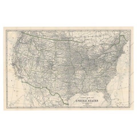
Old Map of the American Railroad Network and All Weather Roads on Verso, 1931
1931
$505
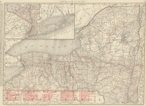
Antique Map of New York State, The Empire State, Rand McNally, 1899
1899 · Rand McNally
$500
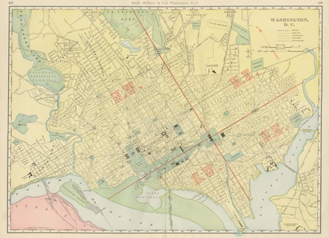
Antique Map of Washington, D.C., The Nation's Capital, Rand McNally, 1899
1899 · Rand McNally
$500
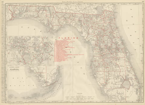
Antique Map of Florida, The Sunshine State, Rand McNally, 1899
1899 · Rand McNally
$500
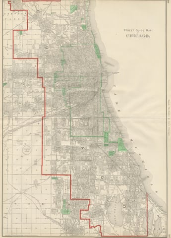
Antique Street Map of Chicago, with the Loop and Lakefront, Rand McNally, 1899
1899 · Rand McNally
$500
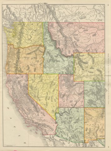
Antique Map of the Western United States, Denver to the Pacific Coast, 1899
1899 · Rand McNally
$500
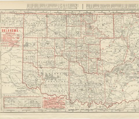
Antique Map of Oklahoma and Indian Territory, Before Statehood, 1899
1899 · Rand McNally
$500
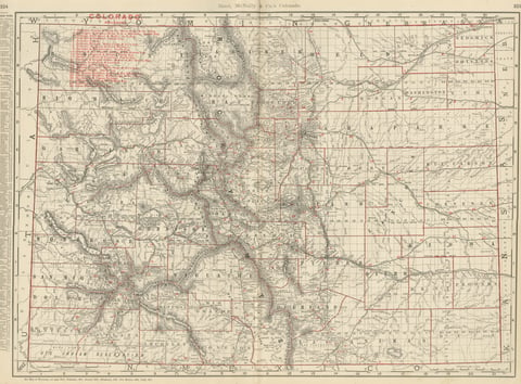
Antique Map of Colorado, The Centennial State, Rand McNally, 1899
1899 · Rand McNally
$500
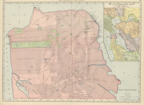
Antique Map of San Francisco, with Golden Gate Park, Rand McNally, 1899
1899 · Rand McNally
$500
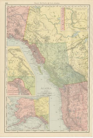
Antique Map of Alaska, with Klondike Gold Fields Inset, Rand McNally, 1899
1899 · Rand McNally
$500
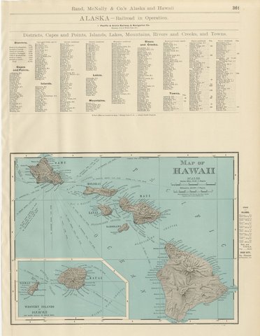
Antique Map of Hawaii, with Oahu and Honolulu, Rand McNally, 1899
1899 · Rand McNally
$500
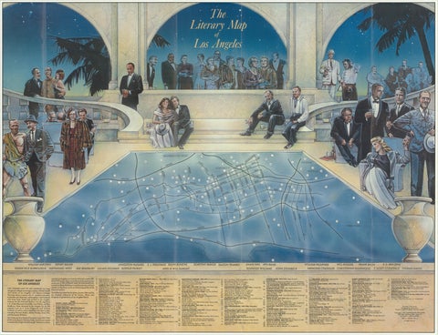
Vintage Literary Map of Los Angeles by Linda Ayriss, 1987
1987
$500
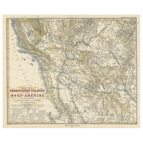
Antique Map of Part of the United States Including Lower California & Arizona
circa 1879 · Stieler
$490
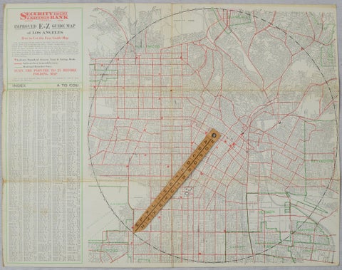
Antique E-Z Guide Map of Los Angeles with Rotating Locator, 1927
1927
$490
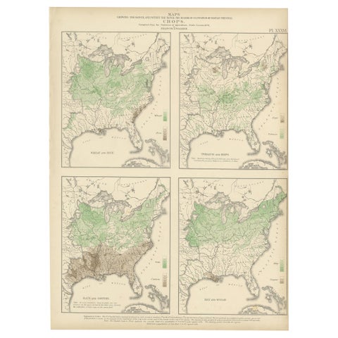
Antique US Crop Chart by Francis A. Walker, Lithographed Maps, 1874
1874
$470
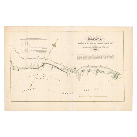
1849 Hand-Colored Map of Fort Smith to Santa Fe Route, Detailing Trails & Camps
1849
$470
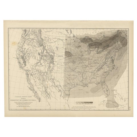
Antique Chart of the Storm Centres of the United States, 1874
1874
$450
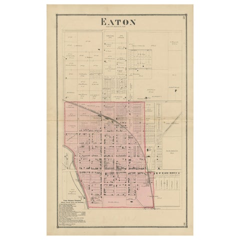
Antique Map of Eaton 'Ohio' by Titus, 1871
1871
$450
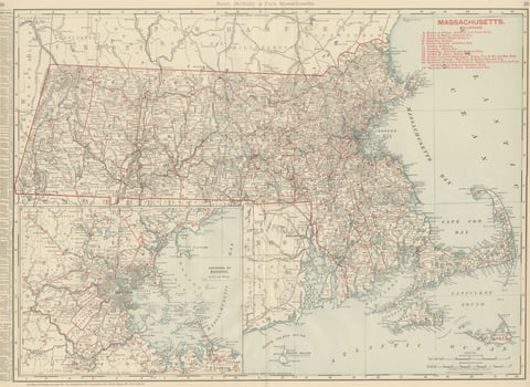
Antique Map of Massachusetts, The Bay State, Rand McNally, 1899
1899 · Rand McNally
$440
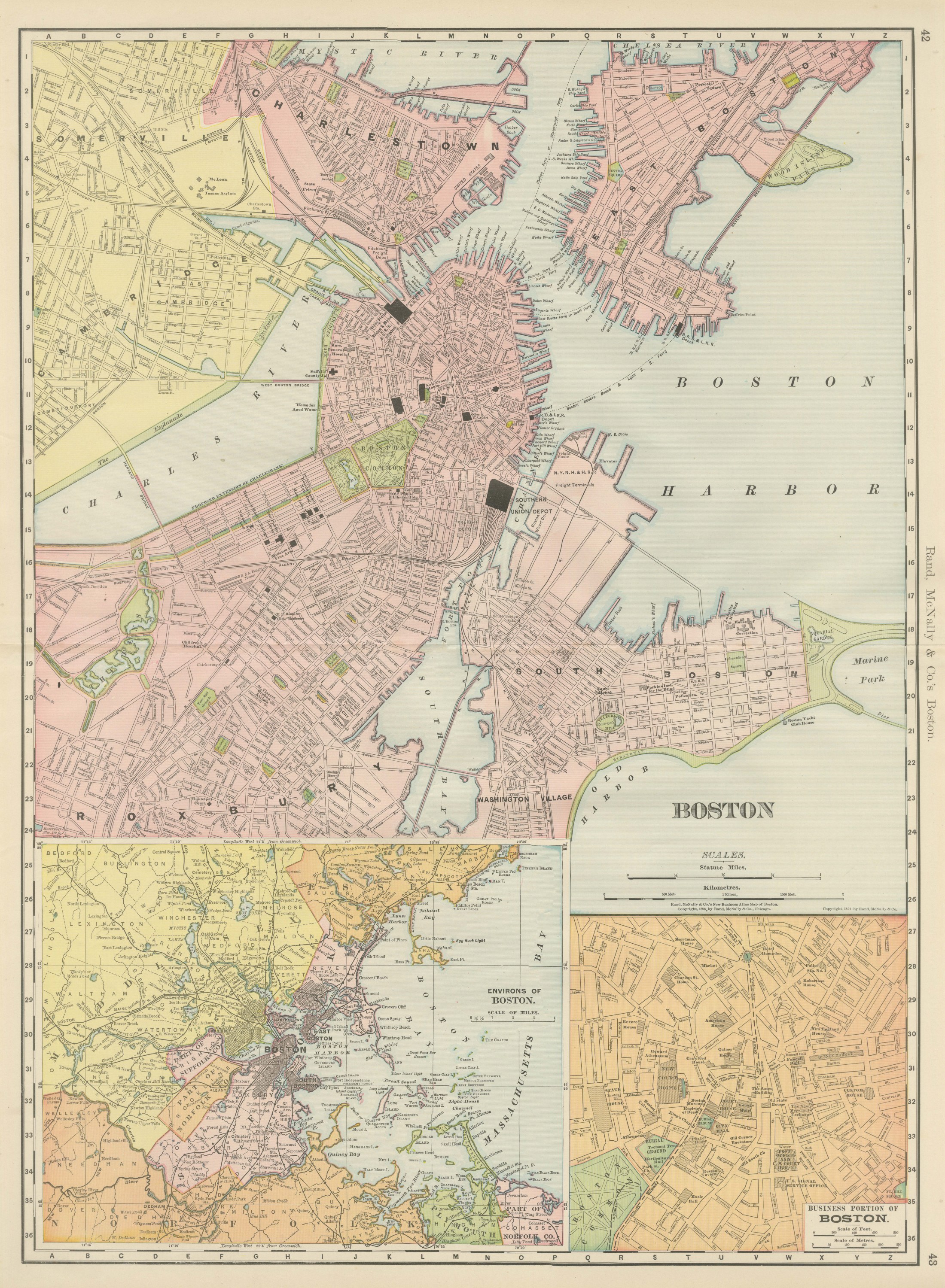
Antique Map of Boston, with Harbor and Environs Inset, Rand McNally, 1899
1899 · Rand McNally
$440
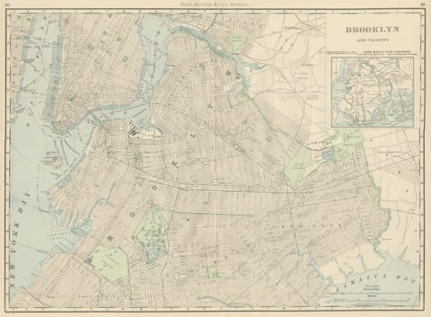
Antique Map of Brooklyn, New York, with Prospect Park, Rand McNally, 1899
1899 · Rand McNally
$440