Original antique maps & prints of
The United States
★ 583 original pieces ★
Original maps, views and prints of the United States, from the colonial charts of the seventeenth century to the railroad atlases of the Gilded Age. Browse by state, by region or by period.
By State
Every state we hold, grouped by region
Territories
New England
Maine, New Hampshire, Vermont, Massachusetts, Rhode Island and Connecticut
35 pieces
Mid-Atlantic
New York, New Jersey, Pennsylvania, Delaware, Maryland and Washington, D.C.
91 pieces
The South
Virginia and the Carolinas to Florida, Louisiana and Tennessee
84 pieces
The Midwest
Ohio and the Great Lakes to Missouri and Minnesota
78 pieces
The Great Plains
Kansas, Nebraska, the Dakotas and Oklahoma
31 pieces
The Southwest
Texas, New Mexico and Arizona
29 pieces
The Mountain West
Colorado, Utah, Nevada, Idaho, Montana and Wyoming
36 pieces
The Pacific Coast
California, Oregon, Washington, Alaska and Hawaii
106 pieces
Puerto Rico
The United States territory in the Caribbean
4 pieces
★
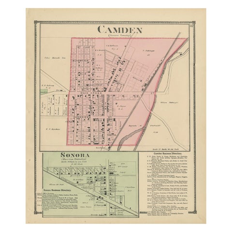
Antique Map of Camden and Sonora, 1871
1871
$280
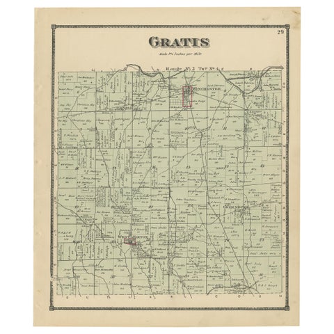
Antique Map of Gratis 'Ohio' by Titus '1871'
1871
$280
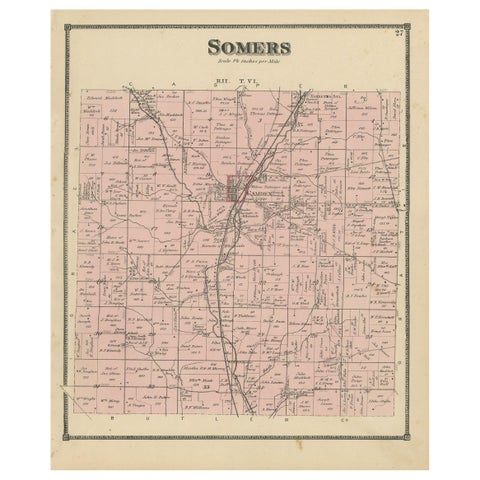
Antique Map of the Somers Township of Ohio by Titus, 1871
1871
$280
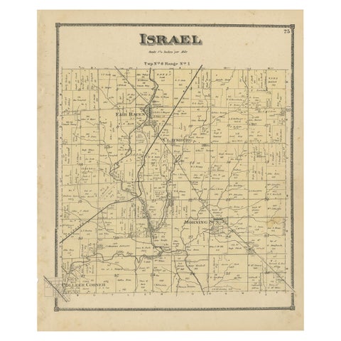
Antique Map of the Israel Township of Ohio by Titus '1871'
1871
$280
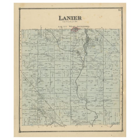
Antique Map of the Lanier Township of Ohio by Titus, 1871
1871
$280
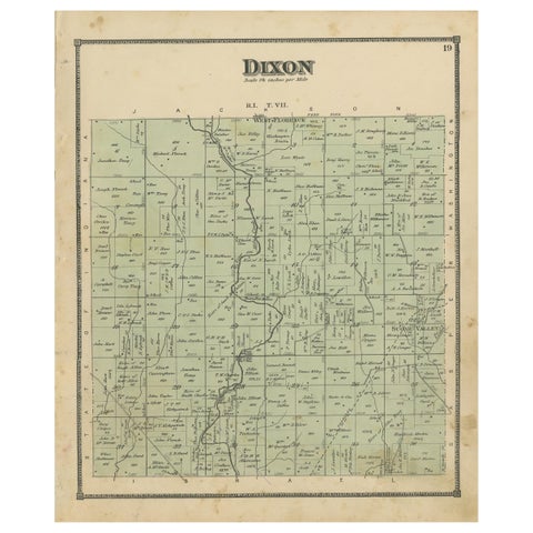
Antique Map of the Dixon Township of Ohio by Titus, 1871
1871
$280
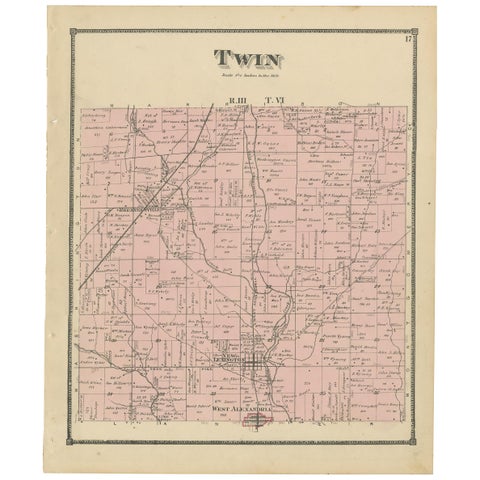
Antique Map of the Twin Township of Ohio by Titus '1871'
1871
$280
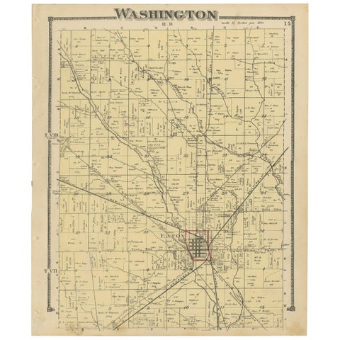
Antique Map of Washington County 'Ohio' by Titus, 1871
1871
$280
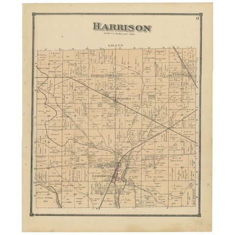
Antique Map of Harrison County 'Ohio' by Titus, 1871
1871
$280
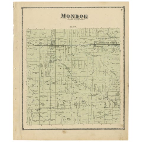
Antique Map of Monroe County 'Ohio' by Titus '1871'
1871
$280
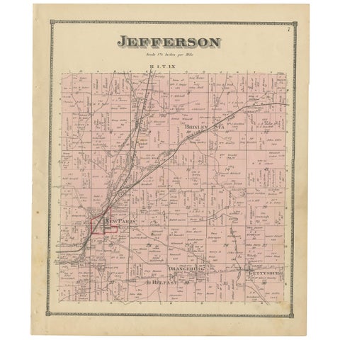
Antique Map of Jefferson County 'Ohio' by Titus, 1871
1871
$280
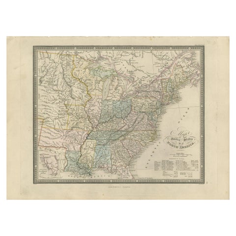
Antique Map of the United States of North America by Wyld '1845'
1845
$280
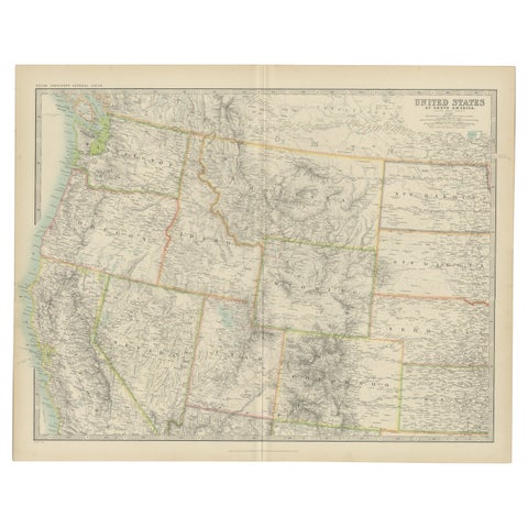
Antique Map of the United States 'North West' by Johnston, '1909'
1909 · W. & A. K. Johnston
$280
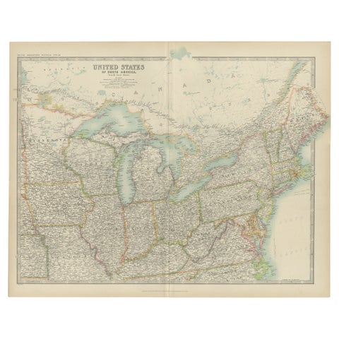
Antique Map of the United States ' North East ' by Johnston '1909'
1909 · W. & A. K. Johnston
$280
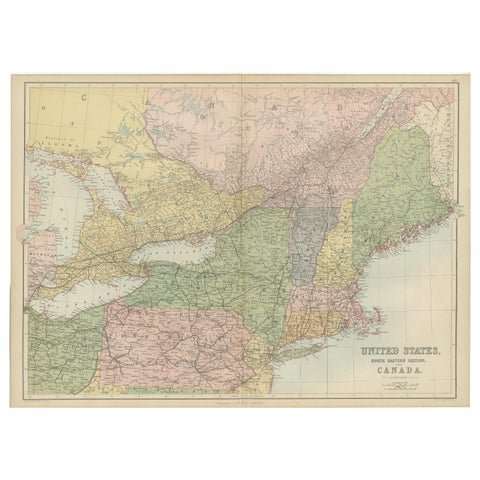
Antique Map of The United States and Canada by A & C. Black, 1870
1870 · Adam & Charles Black
$280
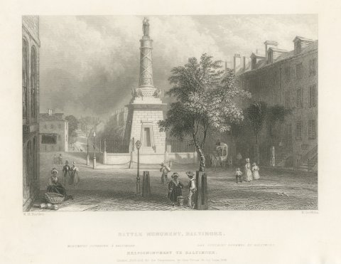
Battle Monument, Baltimore, after Bartlett, Antique Street View, 1842
1842
$275
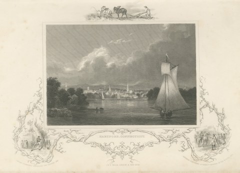
Hartford, Connecticut, River View Drawn by Thomas Cole, circa 1850
circa 1850
$275
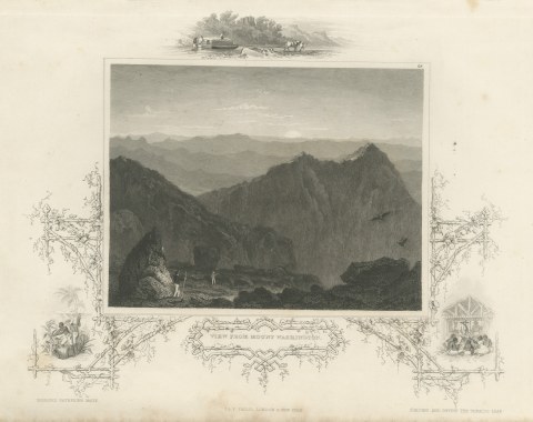
View from Mount Washington after Thomas Cole, Mountain Landscape, circa 1850
circa 1850
$275
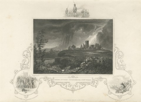
Ruins of Fort Ticonderoga, New York, after Thomas Cole, Storm Scene, circa 1850
circa 1850
$275
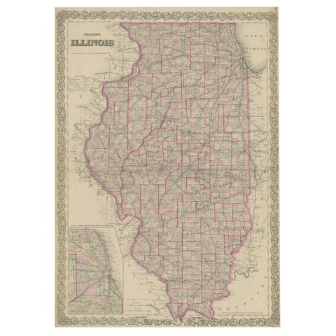
Colton's Map of Illinois, with an Inset of Chicago
J. H. Colton
$270
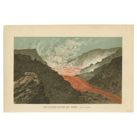
Fiery Majesty: The Volcano Eruption of Kilauea on Hawaii, 1895
1895
$270
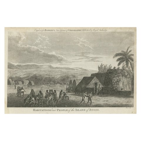
Daily Life in Atooi: An 18th-Century View of Kauai and Its People, circa 1785
1785
$270

Drummond's Pitcher Plant: Hand-Colored Lithograph by Louis van Houtte, 1855
1855
$270
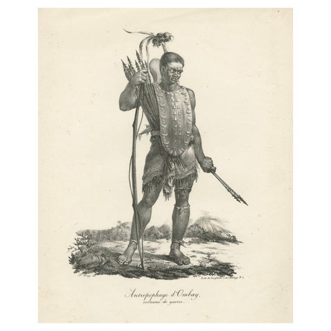
Warrior of Owhyhee (Hawaii) - Anthropophage in War Costume, 1785 Engraving
1785
$270